Bridgefoot

Settlement in Cambridgeshire South Cambridgeshire

England

Bridgefoot

Goffers Knoll, Melbourn, Cambs View NW from the A505; the hill is topped by a Bronze Age burial ground.
Goffers Knoll, Melbourn, Cambs Credit: Rodney Burton

Bridgefoot is a small village located in the county of Cambridgeshire, England. It is situated approximately 4 miles northwest of the city of Cambridge and lies on the River Cam. The village is part of the South Cambridgeshire district and falls within the civil parish of Girton.

The origins of the village can be traced back to medieval times, with historical records dating back to the 12th century. Bridgefoot gets its name from the bridge that crosses the River Cam, connecting the village to the adjoining areas.

The village is predominantly residential, with a mix of traditional cottages and newer housing developments. It offers a peaceful and picturesque setting, surrounded by countryside and green spaces. The River Cam, which flows through the village, provides opportunities for boating and fishing, attracting visitors and locals alike.

Despite its small size, Bridgefoot benefits from excellent transport links. The nearby A14 road connects the village to Cambridge and other major cities, making it easily accessible by car. Public transportation options include regular bus services that operate from the village to Cambridge city center and other neighboring towns.

Residents of Bridgefoot enjoy a close-knit community atmosphere, with various amenities available within a short distance. These include a local pub, a village hall, a primary school, and a post office. For further amenities, residents can conveniently access the nearby city of Cambridge, which offers a wide range of shops, restaurants, and cultural attractions.

Overall, Bridgefoot offers a charming rural lifestyle, with its idyllic location, strong community spirit, and easy access to both nature and city amenities.

If you have any feedback on the listing, please let us know in the comments section below.
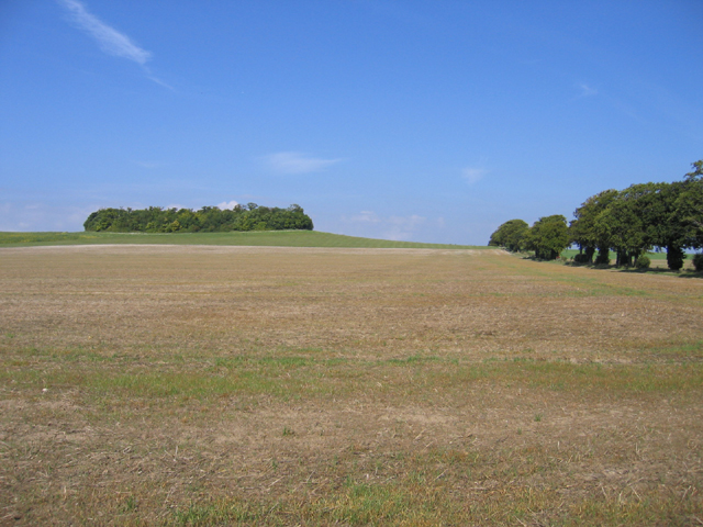
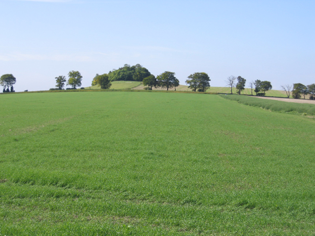
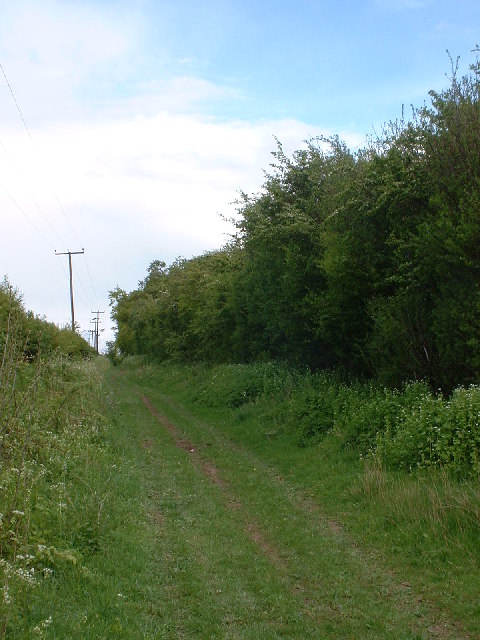
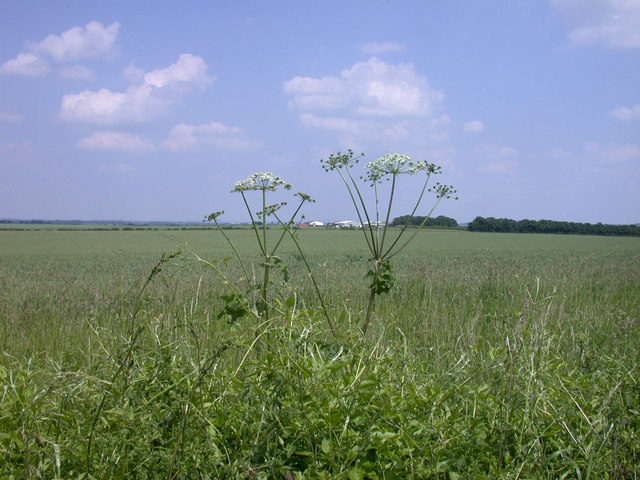
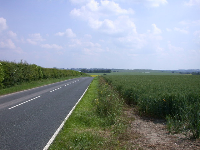
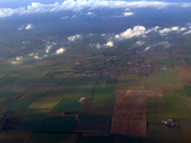
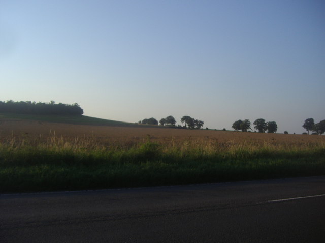
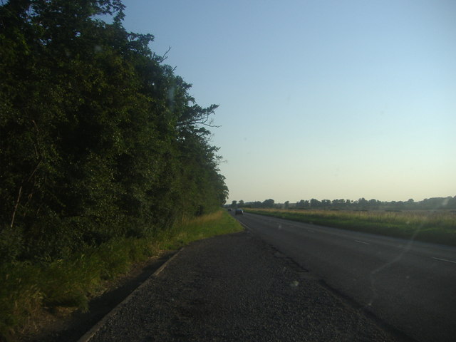
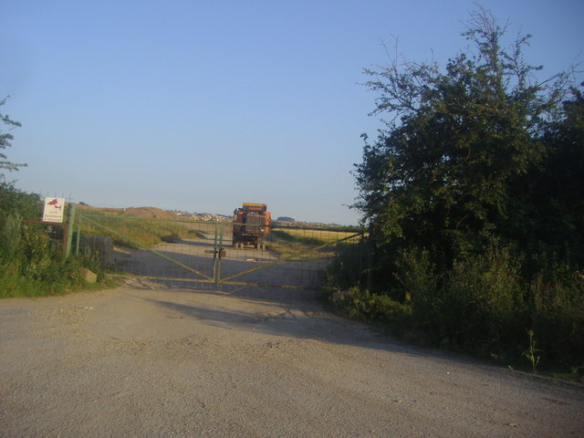
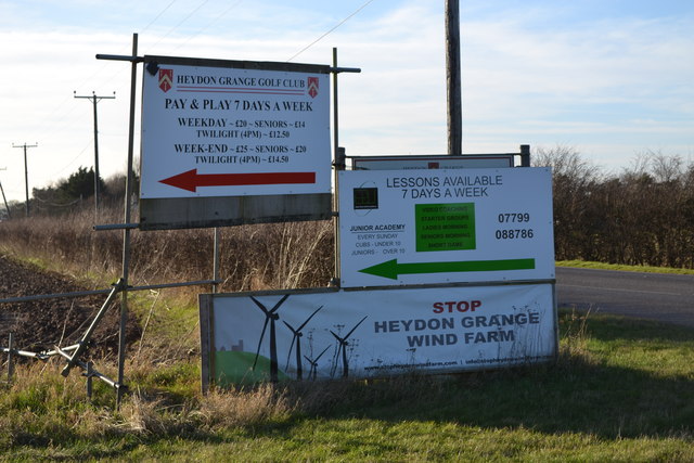
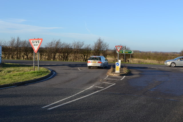
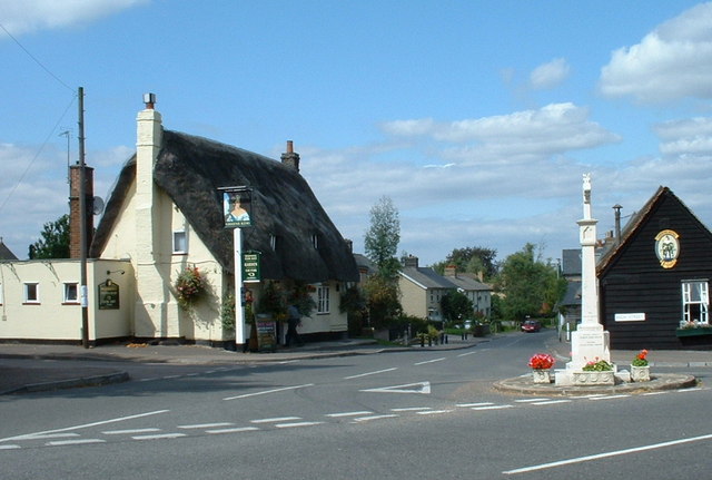
Bridgefoot Images

Images are sourced within 2km of 52.066881/0.054107229 or Grid Reference TL4042. Thanks to Geograph Open Source API. All images are credited.

Goffers Knoll, Melbourn, Cambs View NW from the A505; the hill is topped by a Bronze Age burial ground.
Goffers Knoll, Melbourn, Cambs
View NW from the A505; the hill is topped by a Bronze Age burial ground.
Goffers Knoll, Melbourn, Cambs View SW from New Road; the hill is topped by a Bronze Age burial ground.
Goffers Knoll, Melbourn, Cambs
View SW from New Road; the hill is topped by a Bronze Age burial ground.
Farmland, New Road, Melbourn, Cambs View NE of a large arable field in open countryside with shallow sandy loam soils over chalk.
Farmland, New Road, Melbourn, Cambs
View NE of a large arable field in open countryside with shallow sandy loam soils over chalk.
Icknield Way near Royston
Rough Byway Supposedly a Byway Open to All Traffic, but parts of it were too rough or overgrown for a bicycle
Rough Byway
Supposedly a Byway Open to All Traffic, but parts of it were too rough or overgrown for a bicycle
Wild Rose by the Byway
View east from New Road
View SE along New Road
Melbourn from the air The A505 runs horizontally across the bottom of the photo.

See also <a href="https://www.geograph.org.uk/photo/2468536">TL3845 : Melbourn from the air</a>.
Melbourn from the air
The A505 runs horizontally across the bottom of the photo. See also TL3845 : Melbourn from the air.
Goffers Knoll, Melbourn
The A505 by Goffers Knoll, Melbourn
Former RAF Fowlmere from the air Only 4Km west of RAF Duxford, this <span class="nowrap"><a title="http://en.wikipedia.org/wiki/RAF_Fowlmere" rel="nofollow ugc noopener" href="http://en.wikipedia.org/wiki/RAF_Fowlmere">Link</a><img style="margin-left:2px;" alt="External link" title="External link - shift click to open in new window" src="https://s1.geograph.org.uk/img/external.png" width="10" height="10"/></span> to the Wikipedia article about the base provides more information.

See also <a href="https://www.geograph.org.uk/photo/2468528">TL4145 : Former RAF Fowlmere from the air</a>.
Former RAF Fowlmere from the air
Only 4Km west of RAF Duxford, this LinkExternal link to the Wikipedia article about the base provides more information. See also TL4145 : Former RAF Fowlmere from the air.
Cottage at the entrance to North Hall Farm on the B1368 At the time of this photo, the cottage was up for renting.
Cottage at the entrance to North Hall Farm on the B1368
At the time of this photo, the cottage was up for renting.
Entrance to quarry on the A505, Flint Cross I'm guessing by the name it is a flint quarry.
Entrance to quarry on the A505, Flint Cross
I'm guessing by the name it is a flint quarry.
Old Milestone Old milestone on the B1368 near to Flint Cross, Cambridgeshire sadly overgrown by hedge and verge. For overall view see <a title="https://www.geograph.org.uk/photo/3206634" href="https://www.geograph.org.uk/photo/3206634">Link</a>
Old Milestone
Old milestone on the B1368 near to Flint Cross, Cambridgeshire sadly overgrown by hedge and verge. For overall view see Link
Old Milestone Location of an old milestone on the B1368 near to Flint Cross, Cambridgeshire now covered by overgrown hedge and verge. For close up view see <a title="https://www.geograph.org.uk/photo/3206623" href="https://www.geograph.org.uk/photo/3206623">Link</a>
Old Milestone
Location of an old milestone on the B1368 near to Flint Cross, Cambridgeshire now covered by overgrown hedge and verge. For close up view see Link
Signs at junction of A505 and Heydon Road The windfarm proposal has met with much opposition.
Signs at junction of A505 and Heydon Road
The windfarm proposal has met with much opposition.
Junction of A505 and Heydon road
Show me another place!

Bridgefoot is located at Grid Ref: TL4042 (Lat: 52.066881, Lng: 0.054107229)

Administrative County: Cambridgeshire

District: South Cambridgeshire

Police Authority: Cambridgeshire

What 3 Words

///cries.undulation.asterisk. Near Fowlmere, Cambridgeshire

Nearby Locations

Bridgefoot

Related Wikis

Flint Cross

Flint Cross is a hamlet and crossroads in South Cambridgeshire, in the English county of Cambridgeshire. It is in the south of the district, where the...

Fowlmere Airfield

Fowlmere Airfield (ICAO: EGMA) is a small airfield located 4.2 miles (6.8 km) northeast of Royston, Hertfordshire and 8.8 miles (14.2 km) southwest of...

Goffers Knoll

Goffers Knoll is a prominent knoll on the Hertfordshire-Cambridgeshire border in the east of England, to the east of the town of Royston and south of Melbourn...

Fowlmere

Fowlmere is one of the southernmost villages in Cambridgeshire, England. The population of the civil parish at the 2011 Census was 1,206. It is very close...

Nearby Amenities

Located within 500m of 52.066881,0.054107229
Fixme: This junction is being remodelled c. August-Sept 2010; the speed limit around the junction will be 50 mph (source: local political newsletter, Focus on Fowlmere and Foxton)
Lat/Long: 52.0669439/0.0542466
Flint Cross
Fixme: This junction is being remodelled c. August-Sept 2010; the speed limit around the junction will be 50 mph (source: local political newsletter, Focus on Fowlmere and Foxton)
Junction: yes
Source Name: local knowledge
Wikidata: Q5459495
Lat/Long: 52.0664096/0.0522119
The Coach House Hotel
Addr Country: GB
Addr Postcode: SG8 7PN
Addr Street: Newmarket Road
Fhrs Id: 610732
Survey Date: 2019-02-28
Tourism: hotel
Lat/Long: 52.0668102/0.0527943
Fuel
Brand: Esso
Brand Wikidata: Q867662
Operator: Rontec
Operator Website: http://www.rontec-servicestations.co.uk/ss_results-id.cfm?id=7052
Operator Wikidata: Q107439152
Lat/Long: 52.0664686/0.0530359
Fixme: Possible bridge between this node and one adjacent.
Lat/Long: 52.0688878/0.0600626
Fixme: Possible bridge between this node and one adjacent.
Lat/Long: 52.0689478/0.0603278
Power: pole
Source: Bing
Lat/Long: 52.0692345/0.0554922
Power: pole
Source: Bing
Lat/Long: 52.0693548/0.048509
Parking
Lat/Long: 52.0690885/0.0598587
Power: pole
Source: Bing
Lat/Long: 52.0692254/0.0539083
Power: pole
Source: Bing
Lat/Long: 52.0692048/0.0508493
Power: pole
Source: Bing
Lat/Long: 52.0691883/0.0493191
Power: pole
Source: Bing
Lat/Long: 52.0688932/0.0575548
Power: pole
Source: Bing
Lat/Long: 52.0692583/0.0597327
Power: pole
Source: Bing
Lat/Long: 52.0692864/0.0582092
Power: pole
Source: Bing
Lat/Long: 52.0692155/0.052362
Power: pole
Source: Bing
Lat/Long: 52.0692468/0.0571899
Source: survey
Lat/Long: 52.0678779/0.0550364
Give Way
Lat/Long: 52.0663647/0.0522387
Milestone
Note Ref: 11 miles to Cambridge.
Operator: Trinity Hall, Cambridge
Ref: 11
Source: survey
Wikidata: Q26420455
Lat/Long: 52.066845/0.053237
The data included in this document is from www.openstreetmap.org. The data is made available under ODbL.

Have you been to Bridgefoot?

Leave your review of Bridgefoot below (or comments, questions and feedback).