Breacrie

Settlement in Sutherland

Scotland

Breacrie

Forsinain RSPB Trail on the River Halladale The 4-mile circular walk includes a short stretch of the river. Common Sandpipers nest along the banks.
Forsinain RSPB Trail on the River Halladale Credit: Greg Fitchett

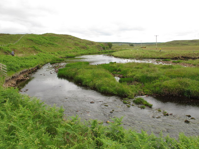
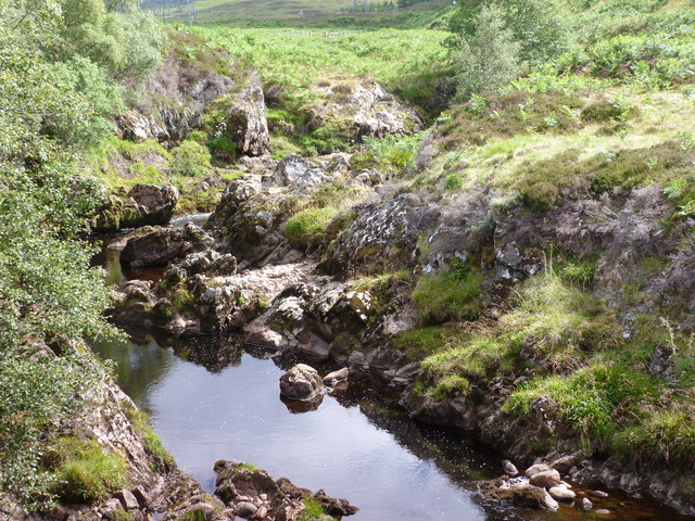
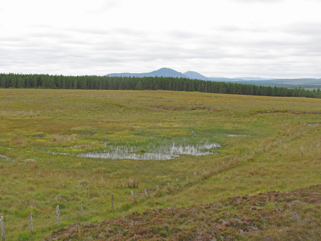
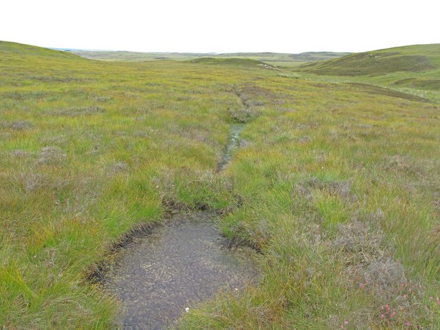
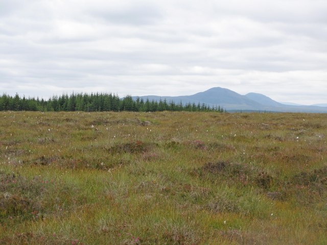
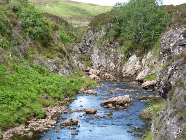
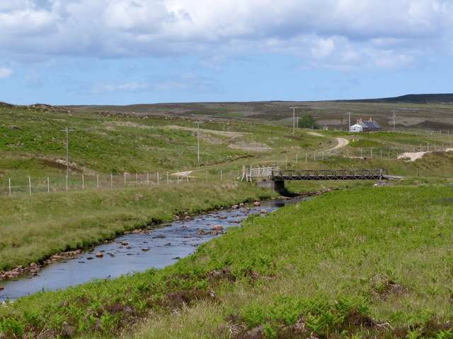
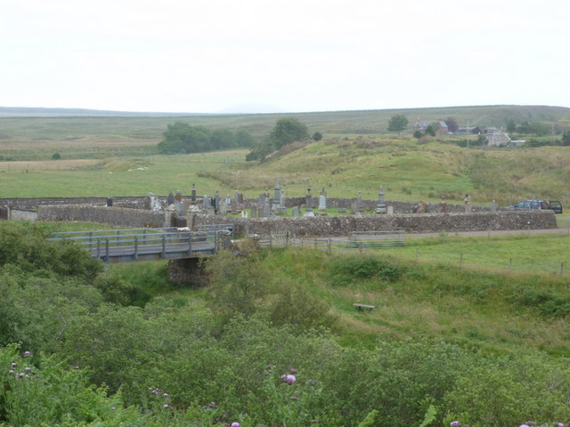
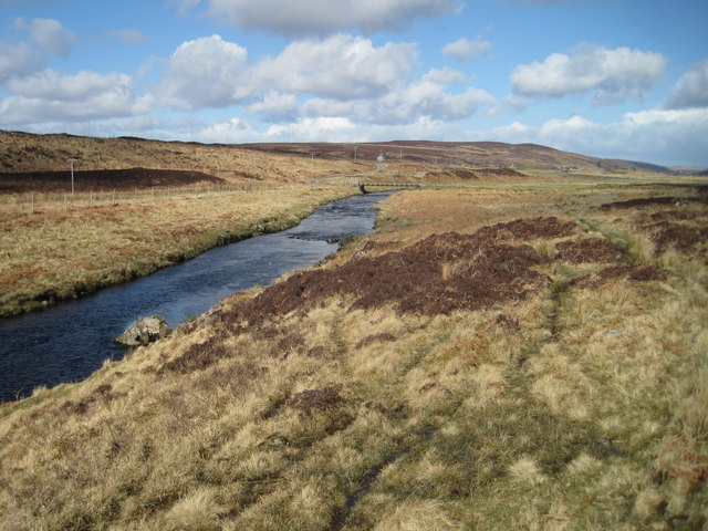
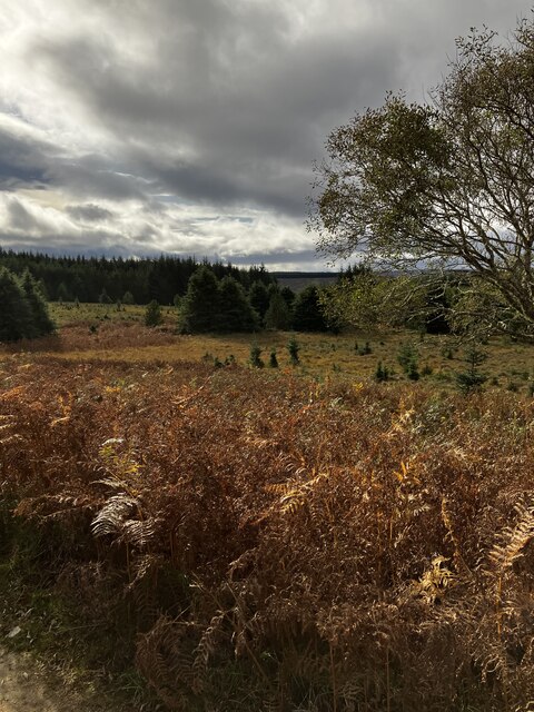
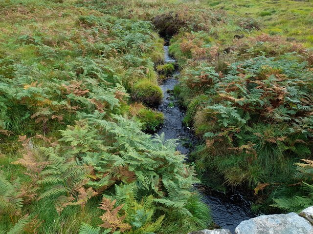
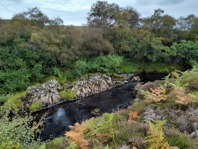
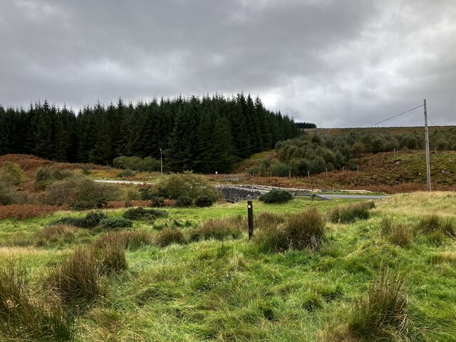
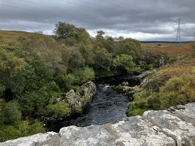
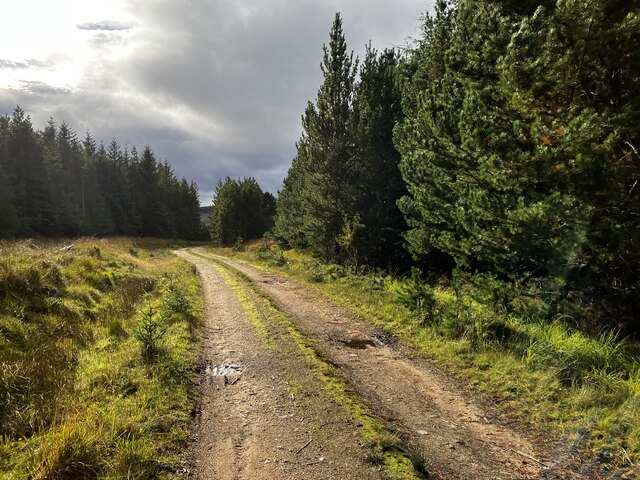
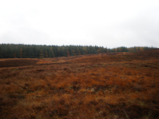
Breacrie is a small village located in the county of Sutherland in the Scottish Highlands. Situated near the coast, Breacrie is known for its stunning natural beauty and rugged landscape. The village is surrounded by rolling hills, vast moors, and dramatic cliffs, making it a popular destination for outdoor enthusiasts and nature lovers.

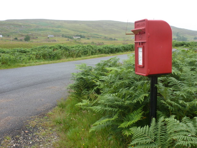
Breacrie is home to a small population of residents who primarily work in agriculture, fishing, and tourism. The village has a few local amenities, including a small grocery store, a pub, and a community center. The nearest larger town is Tain, which is approximately 15 miles away.

Visitors to Breacrie can enjoy a variety of outdoor activities, such as hiking, fishing, and birdwatching. The village is also located near several historic sites, including the ruins of an ancient castle and a prehistoric burial mound.

Overall, Breacrie offers a peaceful and picturesque setting for those looking to escape the hustle and bustle of city life and immerse themselves in the beauty of the Scottish countryside.

If you have any feedback on the listing, please let us know in the comments section below.

Breacrie Images

Images are sourced within 2km of 58.434553/-3.8900431 or Grid Reference NC8951. Thanks to Geograph Open Source API. All images are credited.

Forsinain RSPB Trail on the River Halladale The 4-mile circular walk includes a short stretch of the river. Common Sandpipers nest along the banks.
Forsinain RSPB Trail on the River Halladale
The 4-mile circular walk includes a short stretch of the river. Common Sandpipers nest along the banks.
Halladale River near Forsinain
Lochan an Fheoir A swampy place enclosed by a fence to exclude sheep
Lochan an Fheoir
A swampy place enclosed by a fence to exclude sheep
Peat Drain This peat drain has been dammed at intervals. This has been done in some locations as part of peatland restoration.
Peat Drain
This peat drain has been dammed at intervals. This has been done in some locations as part of peatland restoration.
Blanket Bog near Trantlebeg Blanket bog at the forest edge, with the Ben Griams in the distance.
Blanket Bog near Trantlebeg
Blanket bog at the forest edge, with the Ben Griams in the distance.
Halladale River gorge
Bridge across the Halladale River to Craggy
Trantlemore: postbox № KW13 141 This little postbox, like the others in the Forsinard area, seem to be numbered KW11 despite being in KW13. The spiky bit of metal which appears to be jutting out from the box is actually the remains of a sign just behind it.
Trantlemore: postbox № KW13 141
This little postbox, like the others in the Forsinard area, seem to be numbered KW11 despite being in KW13. The spiky bit of metal which appears to be jutting out from the box is actually the remains of a sign just behind it.
Trantlemore: burial ground by the river A small cemetery alongside the Halladale River.
Trantlemore: burial ground by the river
A small cemetery alongside the Halladale River.
Halladale River, near Breacrie
View from Forsinan Trail
Allt na Criche Taken from the bridge that carries the A897 over this wee burn.
Allt na Criche
Taken from the bridge that carries the A897 over this wee burn.
Halladale River Viewed from beside the A897.
Halladale River
Viewed from beside the A897.
OS Rivet Benchmark: A897, Allt na Criche OS rivet benchmark on stone bridge.
OS Rivet Benchmark: A897, Allt na Criche
OS rivet benchmark on stone bridge.
By Forsinain Bridge
By Forsinain Bridge
Forsinain Bridge
Forsinain Bridge
Track on the Forsinain Trail
Moor between The Borg and forestry plantation
Show me another place!

Breacrie is located at Grid Ref: NC8951 (Lat: 58.434553, Lng: -3.8900431)

Unitary Authority: Highland

Police Authority: Highlands and Islands

What 3 Words

///hands.already.classmate. Near Forsinard, Highland

Nearby Locations

Clais Fhliuch Breacrie

Related Wikis

Trantlemore

Trantlemore (Scottish Gaelic: Tranntail Mòr) is a small remote linear crofting township, lying on the left bank of the River Halladale, in Eastern Sutherland...

Trantlebeg

Trantlebeg (Scottish Gaelic: Tranntail Beag) is a small village east of the Halladale River in Forsinard, east Sutherland, Scottish Highlands and is in...

Croick

Croick (Scottish Gaelic: A' Chròic) is a small crofting village, located in the right bank of the River Halladale in Forsinard, eastern Sutherland, Scottish...

Dalhalvaig

Dalhalvaig (Scottish Gaelic: Dail Healabhaig) is a small crofting village, located in the right bank of the River Halladale in the Scottish council area...

Nearby Amenities

Located within 500m of 58.434553,-3.8900431
Craggie
Place: locality
Source: OS7
Source Name: OS7
Lat/Long: 58.4362119/-3.8953457
Power: tower
Source: Bing
Lat/Long: 58.4335776/-3.8850603
Power: tower
Source: Bing
Lat/Long: 58.4366056/-3.886164
Power: pole
Lat/Long: 58.4375059/-3.8956463
Power: pole
Lat/Long: 58.4369077/-3.8953306
Power: pole
Lat/Long: 58.4362306/-3.8951745
Power: pole
Lat/Long: 58.435454/-3.8945609
Power: pole
Lat/Long: 58.4347834/-3.894055
Power: pole
Lat/Long: 58.4340828/-3.8934953
Power: pole
Lat/Long: 58.4335259/-3.8930593
Power: pole
Lat/Long: 58.4327314/-3.8924529
Power: pole
Lat/Long: 58.432042/-3.8919237
Power: pole
Lat/Long: 58.4313141/-3.8913568
Power: pole
Lat/Long: 58.4307074/-3.8908849
The data included in this document is from www.openstreetmap.org. The data is made available under ODbL.

Have you been to Breacrie?

Leave your review of Breacrie below (or comments, questions and feedback).