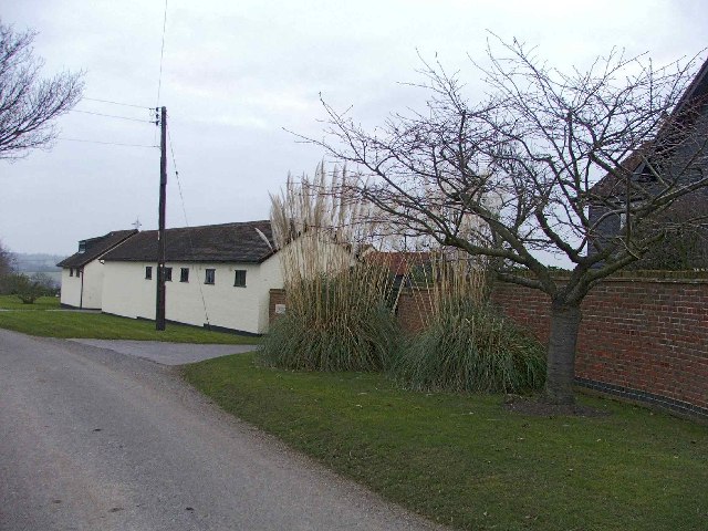
Breach Barns

Settlement in Essex Epping Forest

England

Breach Barns

Cobbinsend Road near Waltham Abbey View looking south along the lane over the bridge over Cobbin's Brook towards Fernhall Farm
Cobbinsend Road near Waltham Abbey Credit: Nigel Cox

Breach Barns is a picturesque village located in the county of Essex, in the eastern part of England. Situated just a few miles away from the town of Chelmsford, it offers a tranquil and idyllic setting for its residents. With a population of around 500 people, this small village is known for its close-knit community and charming rural atmosphere.

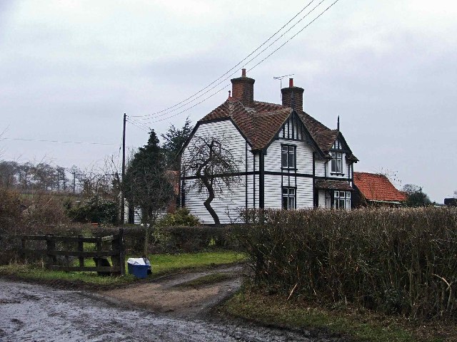
The village is surrounded by vast expanses of lush green fields, rolling hills, and meandering rivers, creating a stunning backdrop for its traditional thatched-roof cottages and historic buildings. The architecture in Breach Barns reflects its rich history, with some structures dating back centuries.

Breach Barns is also home to a number of local amenities and services, including a pub, a primary school, a village hall, and a small grocery store. These facilities cater to the daily needs of the residents, ensuring a convenient and self-sufficient lifestyle.

The village is well-connected to the surrounding areas through a network of roads, making it easily accessible for commuters. Additionally, the nearby Chelmsford train station provides rail links to London and other major cities, offering residents the opportunity for convenient travel.

Breach Barns enjoys a peaceful and rural setting, making it an ideal location for those seeking a slower pace of life away from the hustle and bustle of city living. Its natural beauty, community spirit, and historic charm make it a truly desirable place to call home in Essex.

If you have any feedback on the listing, please let us know in the comments section below.
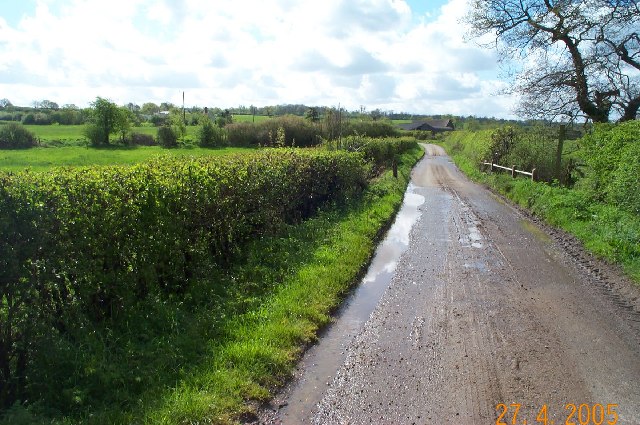
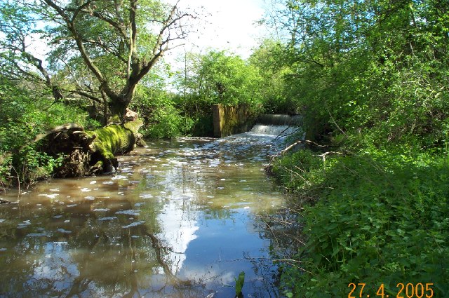
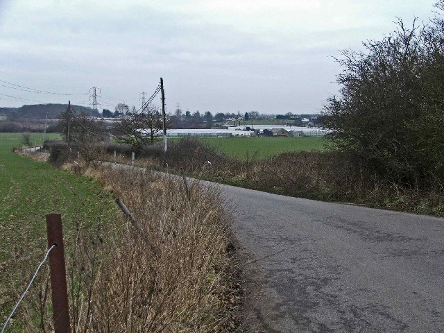
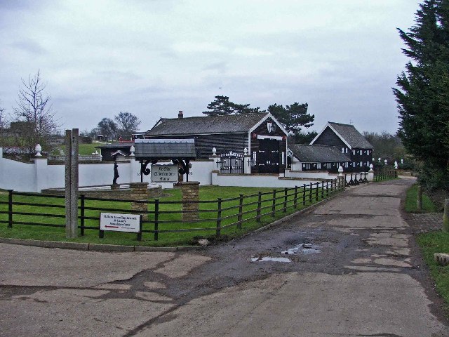
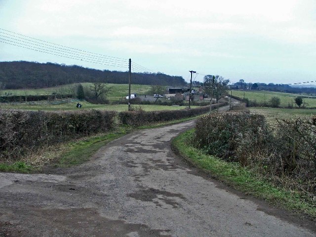
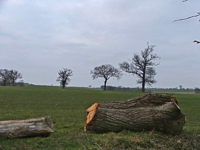
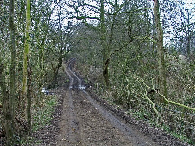
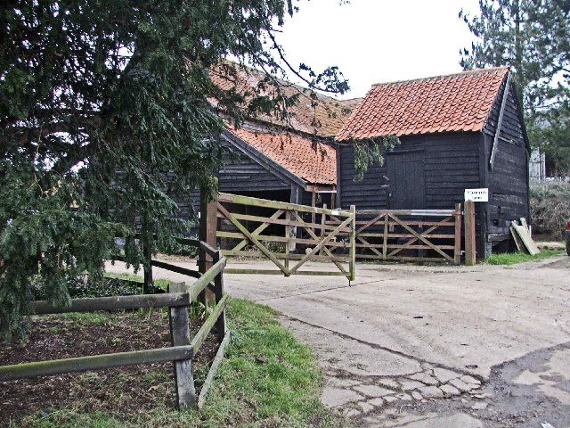
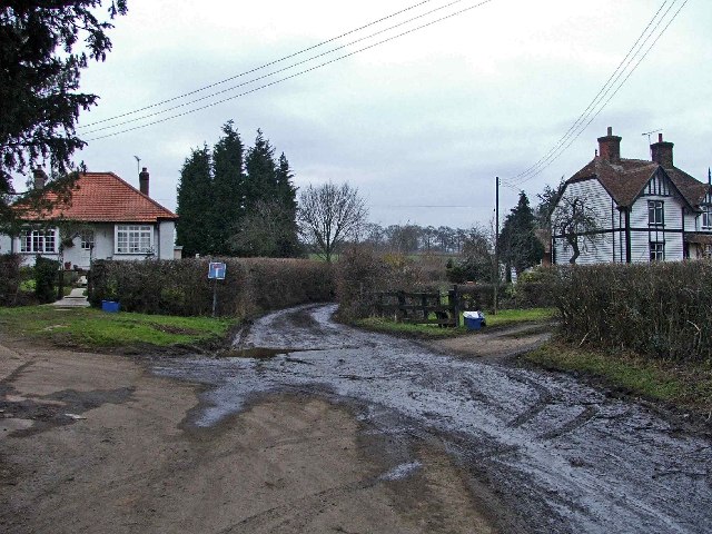
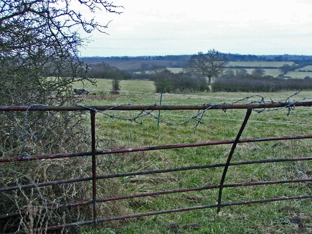
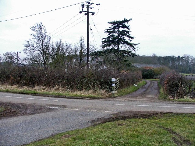
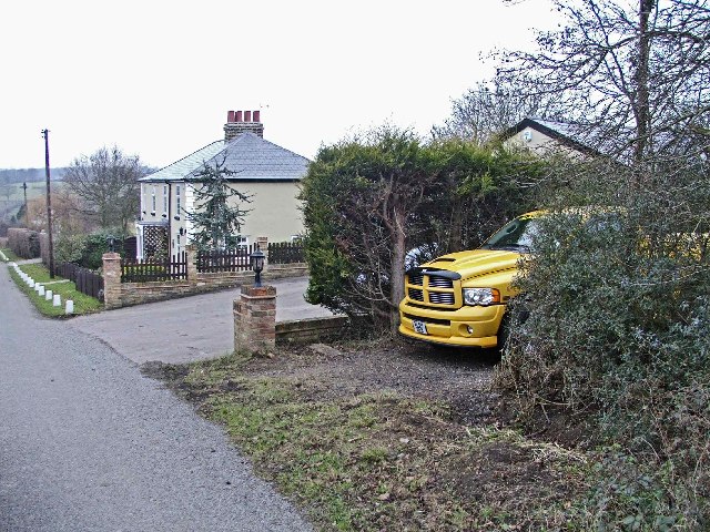
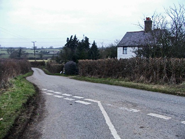
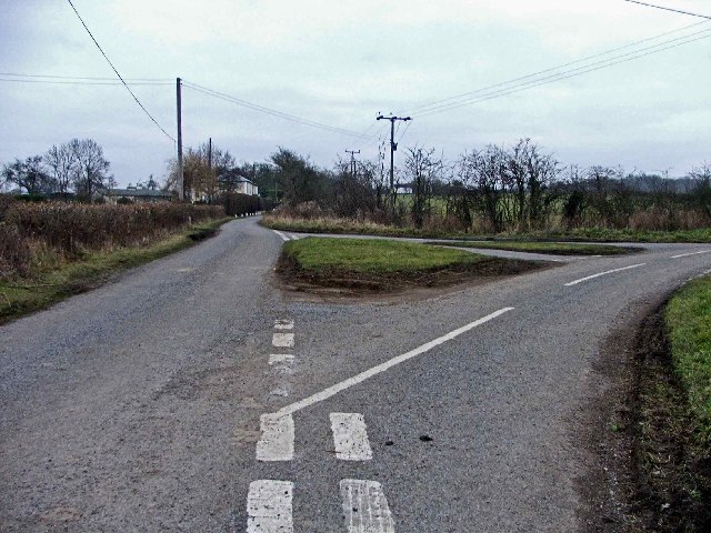
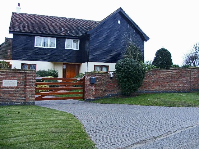
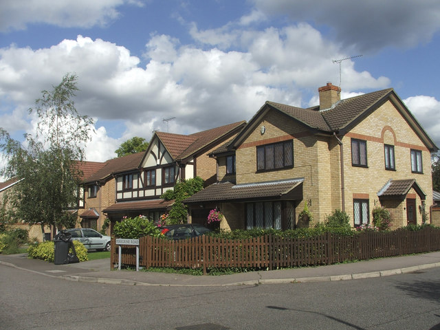
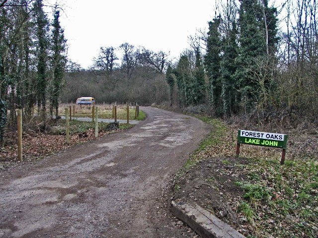
Breach Barns Images

Images are sourced within 2km of 51.70288/0.036246316 or Grid Reference TL4002. Thanks to Geograph Open Source API. All images are credited.

Cobbinsend Road near Waltham Abbey View looking south along the lane over the bridge over Cobbin's Brook towards Fernhall Farm
Cobbinsend Road near Waltham Abbey
View looking south along the lane over the bridge over Cobbin's Brook towards Fernhall Farm
Weir on Cobbin's Brook Viewed looking east this weir is on Cobbin's Brook where it flows through Warlies Park. The water level was higher than normal due to a period of heavy rain.
Weir on Cobbin's Brook
Viewed looking east this weir is on Cobbin's Brook where it flows through Warlies Park. The water level was higher than normal due to a period of heavy rain.
Breach Barns Lane leads from Dallance Farm to Oakwood Nursery Breach Barns Lane is a small road off Galleyhill Road, leading from Dallance Farm to Oakwood Nursery
Breach Barns Lane leads from Dallance Farm to Oakwood Nursery
Breach Barns Lane is a small road off Galleyhill Road, leading from Dallance Farm to Oakwood Nursery
Ye Olde Claverhambury Manor
Claverhambury Road Claverhambury Road just past Claverhambury Manor
Claverhambury Road
Claverhambury Road just past Claverhambury Manor
Farmland opposite Reevegate Farm, Claverhambury Road Farmland opposite Reevegate Farm, Claverhambury Road, looking north
Farmland opposite Reevegate Farm, Claverhambury Road
Farmland opposite Reevegate Farm, Claverhambury Road, looking north
Claverhambury Road near Longcroft Grove
Cobbinsend Farm, Cobbinsend Road, near Waltham Abbey
Maynards Farm, Cobbinsend Road, near Waltham Abbey Entrance to Maynards Farm opposite Cobbinsend Farm on Cobbinsend Road, near Waltham Abbey.
Maynards Farm, Cobbinsend Road, near Waltham Abbey
Entrance to Maynards Farm opposite Cobbinsend Farm on Cobbinsend Road, near Waltham Abbey.
Cobbinsend Road, near Waltham Abbey Cobbinsend Road looking north with Cobbinsend Farm on the right
Cobbinsend Road, near Waltham Abbey
Cobbinsend Road looking north with Cobbinsend Farm on the right
Three Gates where Claverhambury Road joins Cobbinsend Road Farmland in the area called three gates where Claverhambury Road joins Cobbinsend Road
Three Gates where Claverhambury Road joins Cobbinsend Road
Farmland in the area called three gates where Claverhambury Road joins Cobbinsend Road
Entrance to Fernhall Farm, Fernhall Lane Entrance to Fernhall Farm where Cobbinsend Road meets Fernhall Lane and Long Street
Entrance to Fernhall Farm, Fernhall Lane
Entrance to Fernhall Farm where Cobbinsend Road meets Fernhall Lane and Long Street
The Cottages, Long Street, near Copthall Green
Cottage opposite Fernhall Farm opposite junction with Fernhall Road
Long Street looking towards the Cottages Junction of Long Street, Fernhall Lane and Cobbinsend Road, looking towards the Cottages in Long Street
Long Street looking towards the Cottages
Junction of Long Street, Fernhall Lane and Cobbinsend Road, looking towards the Cottages in Long Street
Newhouse Farm, Long Street, Copthall Green Newhouse Farm, Copthall Stud, Long Street, Copthall Green
Newhouse Farm, Long Street, Copthall Green
Newhouse Farm, Copthall Stud, Long Street, Copthall Green
Farm buildings at Newhouse Farm, Long Lane
Corner of Peregrene Road and Farthingale Lane, Waltham Abbey, Essex
Show me another place!

Breach Barns is located at Grid Ref: TL4002 (Lat: 51.70288, Lng: 0.036246316)

Administrative County: Essex

District: Epping Forest

Police Authority: Essex

What 3 Words

///wins.garage.proven. Near Waltham Abbey, Essex

Nearby Locations

Breach Barns

Related Wikis

Aimes Green

Aimes Green is a Hamlet in Essex, England. It is near the hamlet of Holyfield and the town of Waltham Abbey. == References == A-Z Essex, 2010 edition....

Upshire

Upshire is a village and area of Waltham Abbey in the Epping Forest District of Essex, England. The centre of the village is on Horseshoe Hill (a minor...

King Harold Business and Enterprise Academy

King Harold Business and Enterprise Academy (formerly King Harold School) is a secondary school and specialist business and enterprise college located...
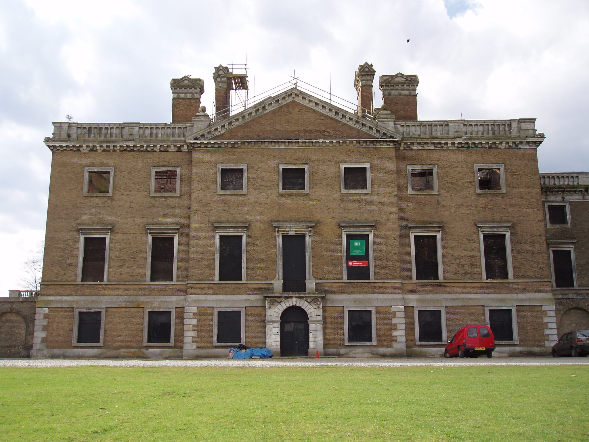
Copped Hall

Copped Hall, also known as Copt Hall or Copthall, is a mid-18th-century English country house close to Waltham Abbey, Essex, which has been undergoing...

Nearby Amenities

Located within 500m of 51.70288,0.036246316
Bus Stop
Breach Barns
Naptan AtcoCode: 1500IM389
Naptan Bearing: W
Naptan BusStopType: CUS
Naptan CommonName: Breach Barns
Naptan Indicator: o/s
Naptan Landmark: Breach Barns
Naptan NaptanCode: esxgmawg
Naptan PlusbusZoneRef: CHESHNT
Naptan Street: Off Galleyhill Road
Naptan Verified: no
Public Transport: platform
Source: naptan_import
Lat/Long: 51.7019799/0.0348986
Power: tower
Lat/Long: 51.702792/0.0317359
Power: tower
Lat/Long: 51.7040553/0.0408554
Power: tower
Lat/Long: 51.703497/0.0366229
Noexit: yes
Lat/Long: 51.7043664/0.0375765
Barrier: stile
Lat/Long: 51.7047653/0.0350425
Barrier: stile
Lat/Long: 51.7072232/0.0347998
Barrier: bollard
Lat/Long: 51.7016479/0.0390613
Warlies Park Obelisk
Historic: monument
Lat/Long: 51.6994205/0.032691
Noexit: yes
Lat/Long: 51.7033562/0.0365658
Noexit: yes
Lat/Long: 51.7026598/0.0366852
Noexit: yes
Lat/Long: 51.7010433/0.0354042
Noexit: yes
Lat/Long: 51.7040679/0.0369933
Give Way
Direction: backward
Lat/Long: 51.7019781/0.0354468
Give Way
Direction: forward
Lat/Long: 51.7028319/0.0359657
Give Way
Direction: forward
Lat/Long: 51.7021854/0.0358584
Give Way
Direction: backward
Lat/Long: 51.7021391/0.0356908
Noexit: yes
Lat/Long: 51.7041903/0.0350669
The data included in this document is from www.openstreetmap.org. The data is made available under ODbL.

Have you been to Breach Barns?

Leave your review of Breach Barns below (or comments, questions and feedback).