Branziert

Settlement in Stirlingshire

Scotland

Branziert

Killearn church This church was built in 1882.
Killearn church Credit: Kevin Rae

Branziert is a small village located in the Stirlingshire region of Scotland. Situated in the central part of the country, Branziert is surrounded by picturesque landscapes, including rolling hills, lush green fields, and dense forests. The village is situated approximately 7 miles north of the town of Falkirk and about 25 miles west of the city of Stirling.

Branziert is known for its tranquility and beauty, making it an ideal destination for those seeking a peaceful retreat away from the hustle and bustle of city life. The village offers a close-knit community atmosphere, where residents are known for their warm hospitality and friendly nature.

Historically, Branziert has a rich heritage, with the presence of ancient Roman artifacts indicating its historical significance. The village has several notable landmarks, including a 13th-century church that adds to its charm and heritage.

In terms of amenities, Branziert offers a limited range of facilities. However, nearby towns such as Falkirk and Stirling provide a wider range of amenities, including shopping centers, schools, healthcare facilities, and recreational activities. The village is well-connected by road, with easy access to major routes, making it convenient for residents to travel to nearby towns and cities.

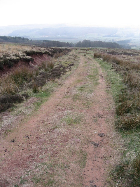
The natural beauty surrounding Branziert provides ample opportunities for outdoor activities such as hiking, cycling, and nature walks. The scenic countryside also attracts visitors who enjoy exploring the area's diverse flora and fauna.

Overall, Branziert is a charming village that offers a peaceful and idyllic setting, making it an attractive place to live or visit for those seeking a quiet and picturesque Scottish experience.

If you have any feedback on the listing, please let us know in the comments section below.
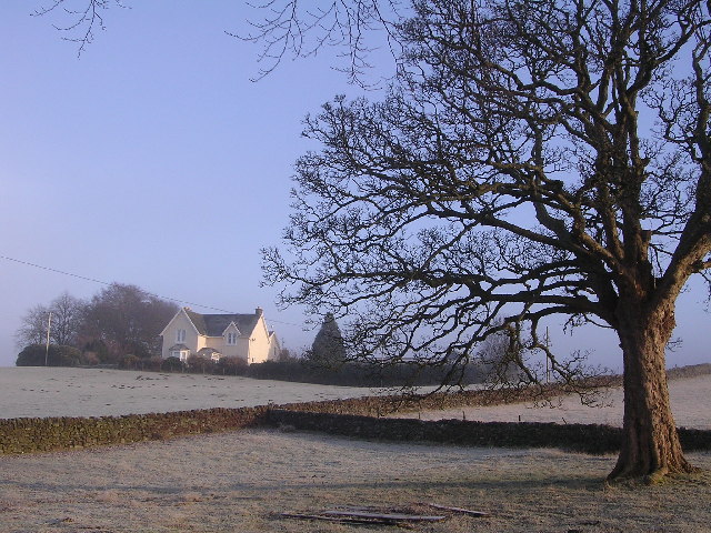
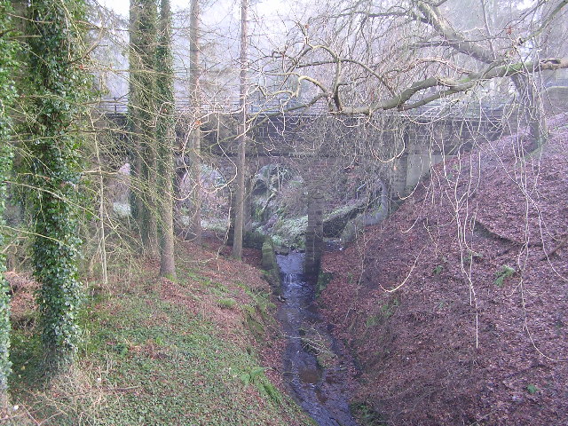
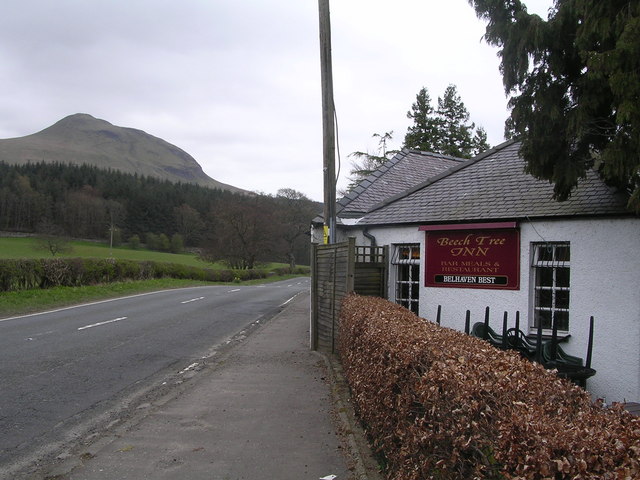
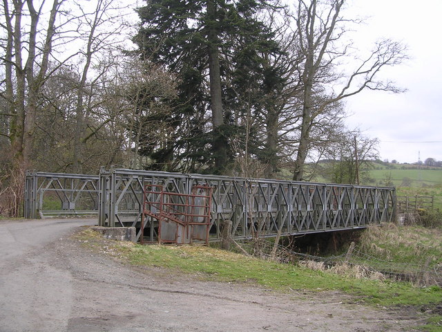
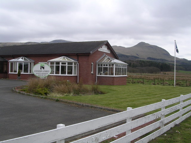
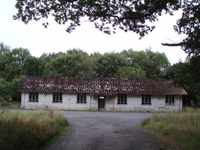
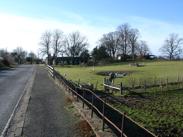
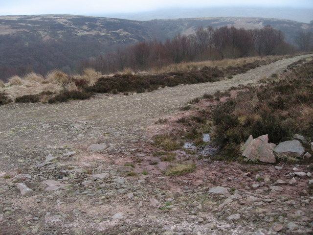
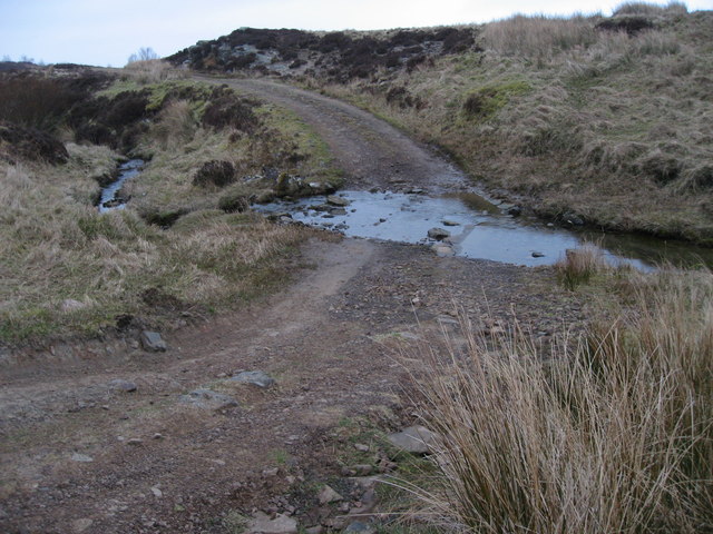
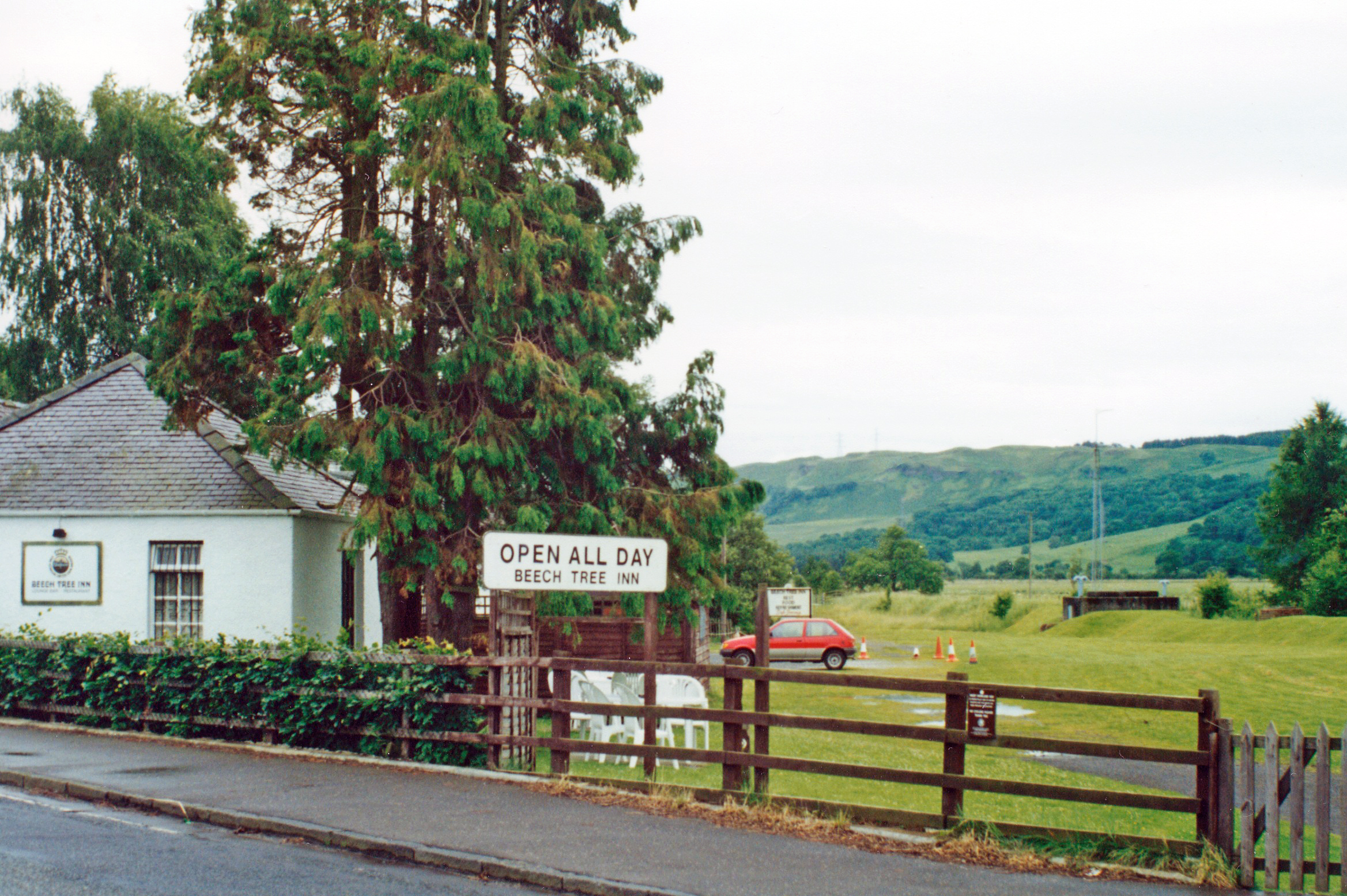
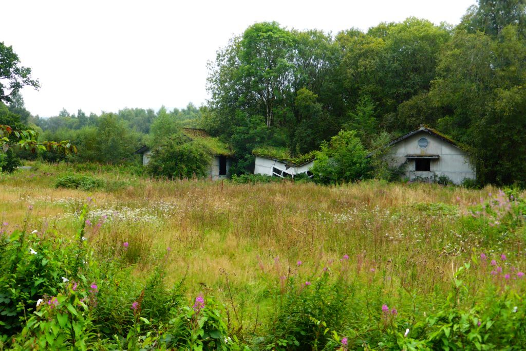
Branziert Images

Images are sourced within 2km of 56.036578/-4.3651812 or Grid Reference NS5285. Thanks to Geograph Open Source API. All images are credited.

Killearn church This church was built in 1882.
Killearn church
This church was built in 1882.
Last House in Killearn Before hitting open countryside to the south west
Last House in Killearn
Before hitting open countryside to the south west
Killearn Churches on Remembrance Sunday
Killearn Cemetery and The Firs
High Lettre Farm, Killearn A collection of photos from geograph contributors around the British Isles and Ireland.
See them on a map <a title="https://www.geograph.org.uk/search.php?i=134495916" href="https://www.geograph.org.uk/search.php?i=134495916">Link</a>
High Lettre Farm, Killearn
A collection of photos from geograph contributors around the British Isles and Ireland. See them on a map Link
Aqueduct across Kirkhouse Burn, Killearn This is carrying the water pipes from Loch Katrine to Glasgow
Aqueduct across Kirkhouse Burn, Killearn
This is carrying the water pipes from Loch Katrine to Glasgow
Beech Tree Inn, near Dumgoyne A popular resting point on the West Highland Way, overlooked by the volcanic plug of Dumgoyne
Beech Tree Inn, near Dumgoyne
A popular resting point on the West Highland Way, overlooked by the volcanic plug of Dumgoyne
Moss Bridge, near Dumgoyne The bridge spans the Blane Water which flows through Strathblane
Moss Bridge, near Dumgoyne
The bridge spans the Blane Water which flows through Strathblane
Cairn Conservatories, near Dumgoyne Conservatory sales centre on very dangerous bend in the A81. Site of several serious and fatal road accidents.
Cairn Conservatories, near Dumgoyne
Conservatory sales centre on very dangerous bend in the A81. Site of several serious and fatal road accidents.
Derelict Buildings Derelict buildings to the east of Killearn House. A new roundabout has just been built opposite.
Derelict Buildings
Derelict buildings to the east of Killearn House. A new roundabout has just been built opposite.
Heron's Court
Heron's Court
Katrine Aqueduct at Killearn These four nondescript trapdoors near the main road contain a secret, one that doesn't even appear on the OS map. These service hatches provide access to the underground aqueduct that provides Glasgow's water supply - from Loch Katrine, to Milngavie Water Works. The aqueduct was opened by Queen Victoria at the turn of the century, and was a major engineering feat with most of the work (and route) being invisible (unless you knew where to look).  The next access to the aqueduct southwards is within the village of Blanefield.
Katrine Aqueduct at Killearn
These four nondescript trapdoors near the main road contain a secret, one that doesn't even appear on the OS map. These service hatches provide access to the underground aqueduct that provides Glasgow's water supply - from Loch Katrine, to Milngavie Water Works. The aqueduct was opened by Queen Victoria at the turn of the century, and was a major engineering feat with most of the work (and route) being invisible (unless you knew where to look). The next access to the aqueduct southwards is within the village of Blanefield.
Auchenibert Lane Looking northwest
Auchenibert Lane
Looking northwest
Moorland track
Moorland track
Track and woodland at the edge of Machar Glen
Ford over the Machar Burn
Parish Church The Church and Obelisk at Killearn on the main road through the town.
Parish Church
The Church and Obelisk at Killearn on the main road through the town.
Killearn An image of the main street Killearn on a winter's day.
Killearn
An image of the main street Killearn on a winter's day.
Show me another place!

Branziert is located at Grid Ref: NS5285 (Lat: 56.036578, Lng: -4.3651812)

Unitary Authority: Stirling

Police Authority: Forth Valley

What 3 Words

///stews.printouts.finishing. Near Killearn, Stirling

Related Wikis

Killearn

Killearn (Scottish Gaelic: Cill Fhearann, from orig. Ceann Fhearann, "Head/End of (the) Land/Territory" – until the 15th century when Ceann was replaced...

Dumgoyne railway station

Dumgoyne railway station served the village of Killearn, Stirling, Scotland from 1867 to 1951 on the Blane Valley Railway. == History == The station was...

Killearn railway station

Killearn railway station served the village of Killearn, Stirling, Scotland from 1882 to 1951 on the Blane Valley Railway. == History == The station opened...

Killearn Hospital

Killearn Hospital was a health facility at Killearn in the Stirling council area of Scotland. == History == The hospital was established as one of seven...

Nearby Amenities

Located within 500m of 56.036578,-4.3651812
Mini Roundabout
Direction: clockwise
Lat/Long: 56.0357198/-4.3668636
Bus: yes
Public Transport: stop_position
Lat/Long: 56.0386033/-4.3657245
Bus Stop
Killearn, Main Street, at Kirkhouse Bridge
Bench: no
Public Transport: platform
Shelter: no
Lat/Long: 56.038598/-4.3657037
Mini Roundabout
Direction: clockwise
Lat/Long: 56.0350936/-4.366718
Arts Centre
RAZZAMATAZ THEATRE SCHOOLS
Lat/Long: 56.0403697/-4.3690597
Woodedge Bed and Breakfast Killearn
Tourism: guest_house
Lat/Long: 56.039079/-4.3671076
Power: pole
Lat/Long: 56.0324946/-4.3677977
Power: pole
Lat/Long: 56.032429/-4.3670329
Power: pole
Lat/Long: 56.032381/-4.366201
Power: pole
Lat/Long: 56.0325051/-4.3655158
Power: pole
Lat/Long: 56.0326058/-4.3647803
Power: pole
Lat/Long: 56.0326971/-4.3641182
Power: pole
Lat/Long: 56.032799/-4.3634351
Power: pole
Lat/Long: 56.0371211/-4.3682618
Power: pole
Lat/Long: 56.0369561/-4.3694751
Power: pole
Lat/Long: 56.0368425/-4.3704662
Power: pole
Lat/Long: 56.0367161/-4.3714112
Power: pole
Lat/Long: 56.0365838/-4.3722222
Crossing
Crossing: uncontrolled
Crossing Island: no
Tactile Paving: yes
Lat/Long: 56.0353059/-4.3667674
The data included in this document is from www.openstreetmap.org. The data is made available under ODbL.

Have you been to Branziert?

Leave your review of Branziert below (or comments, questions and feedback).