Bradley Hill

Settlement in Yorkshire

England

Bradley Hill

Communications Mast at Rodley Nature Reserve Looking down the entrance road heading in to Rodley Nature Reserve towards the Yorkshire Water Works at the far end. This mast carries the EE and Three mobile networks. Photograph taken on 29/09/2021.
Communications Mast at Rodley Nature Reserve Credit: David Goodall

Bradley Hill is a small village located in the county of Yorkshire in England. Situated in the heart of the Yorkshire Dales National Park, it is surrounded by stunning natural beauty and offers residents and visitors alike a peaceful and idyllic setting.

The village is known for its picturesque landscapes, with rolling hills, lush green meadows, and quaint stone-built houses. It is a popular destination for outdoor enthusiasts and nature lovers, offering a wide range of activities such as hiking, cycling, and birdwatching.

Despite its small size, Bradley Hill boasts a tight-knit community that prides itself on its rich history and heritage. The village features a charming church, St. Mary's, which dates back to the 12th century and provides a glimpse into the area's past. There are also a few traditional pubs and local shops that add to the village's character.

The nearby market town of Skipton is just a short drive away, offering residents access to a wider range of amenities and services. Skipton Castle, a well-preserved medieval fortress, is a popular tourist attraction in the area.

Bradley Hill is also conveniently located for those wishing to explore the wider Yorkshire region. The city of Leeds is within easy reach, providing a wealth of cultural and entertainment opportunities.

Overall, Bradley Hill is a charming village in Yorkshire that offers a tranquil retreat in the midst of beautiful countryside, making it an ideal place for those seeking a peaceful and scenic lifestyle.

If you have any feedback on the listing, please let us know in the comments section below.
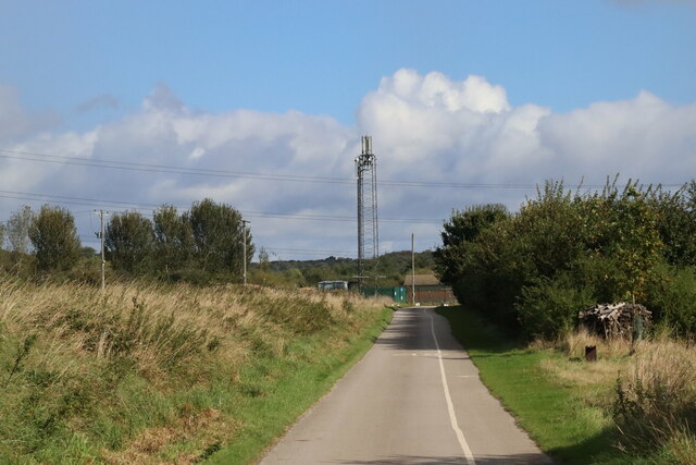
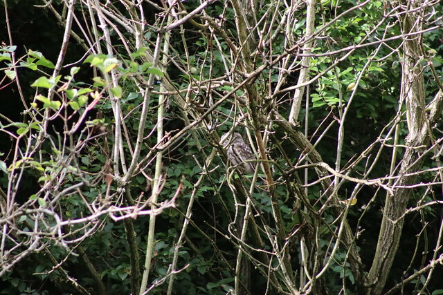
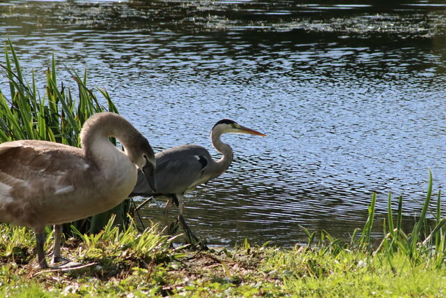
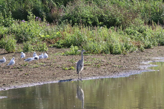
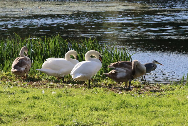
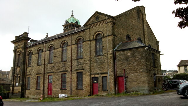
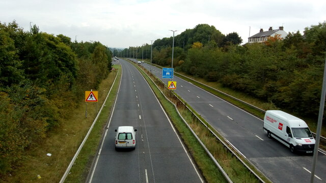
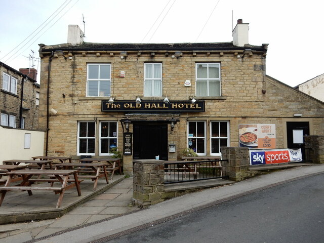
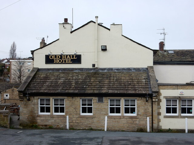
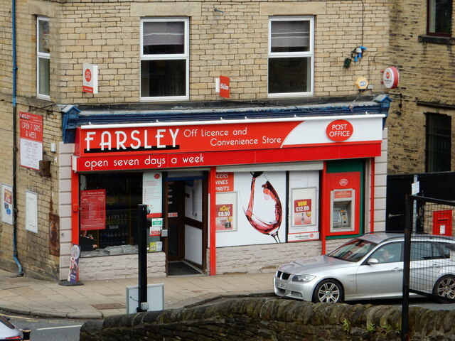
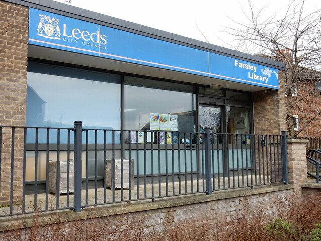
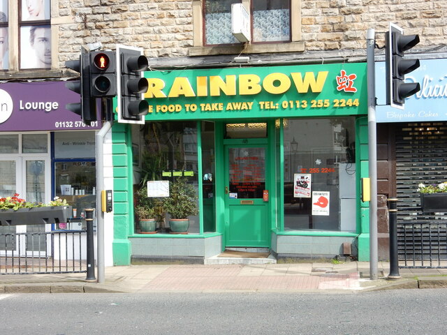
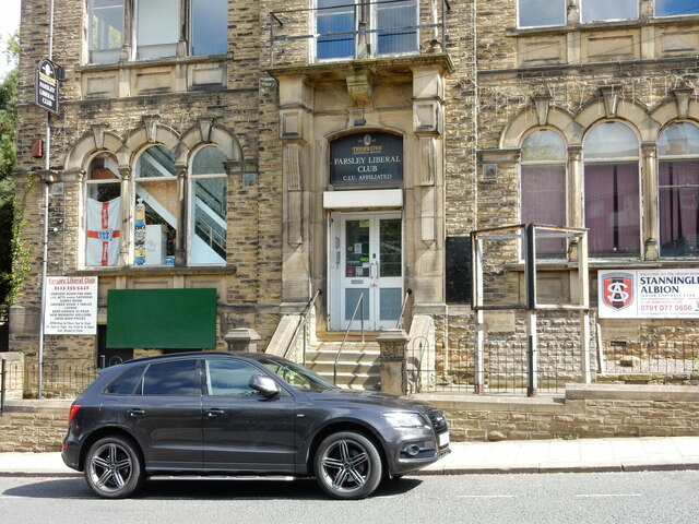
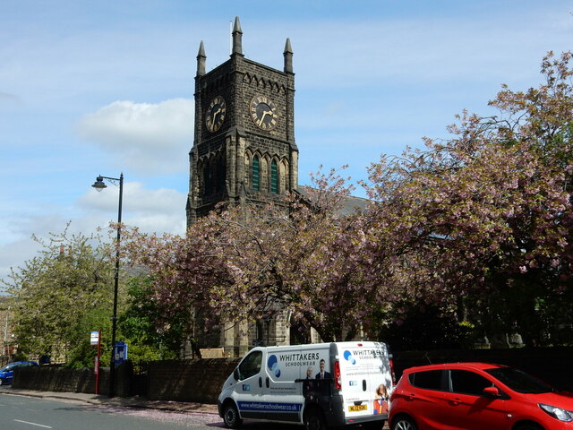
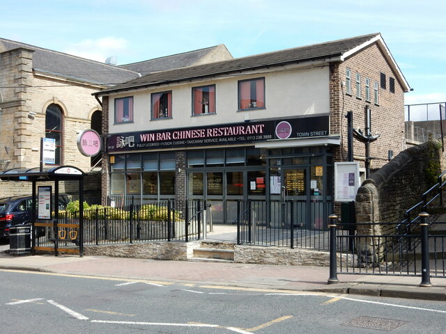
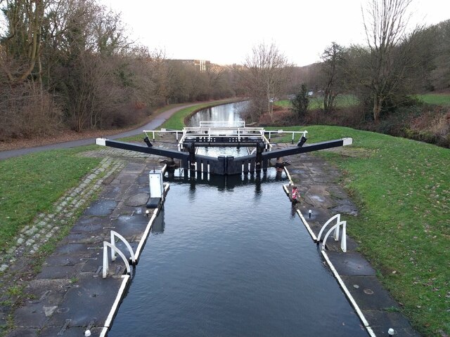
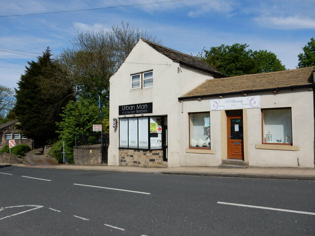
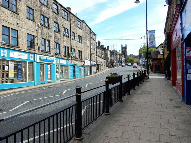
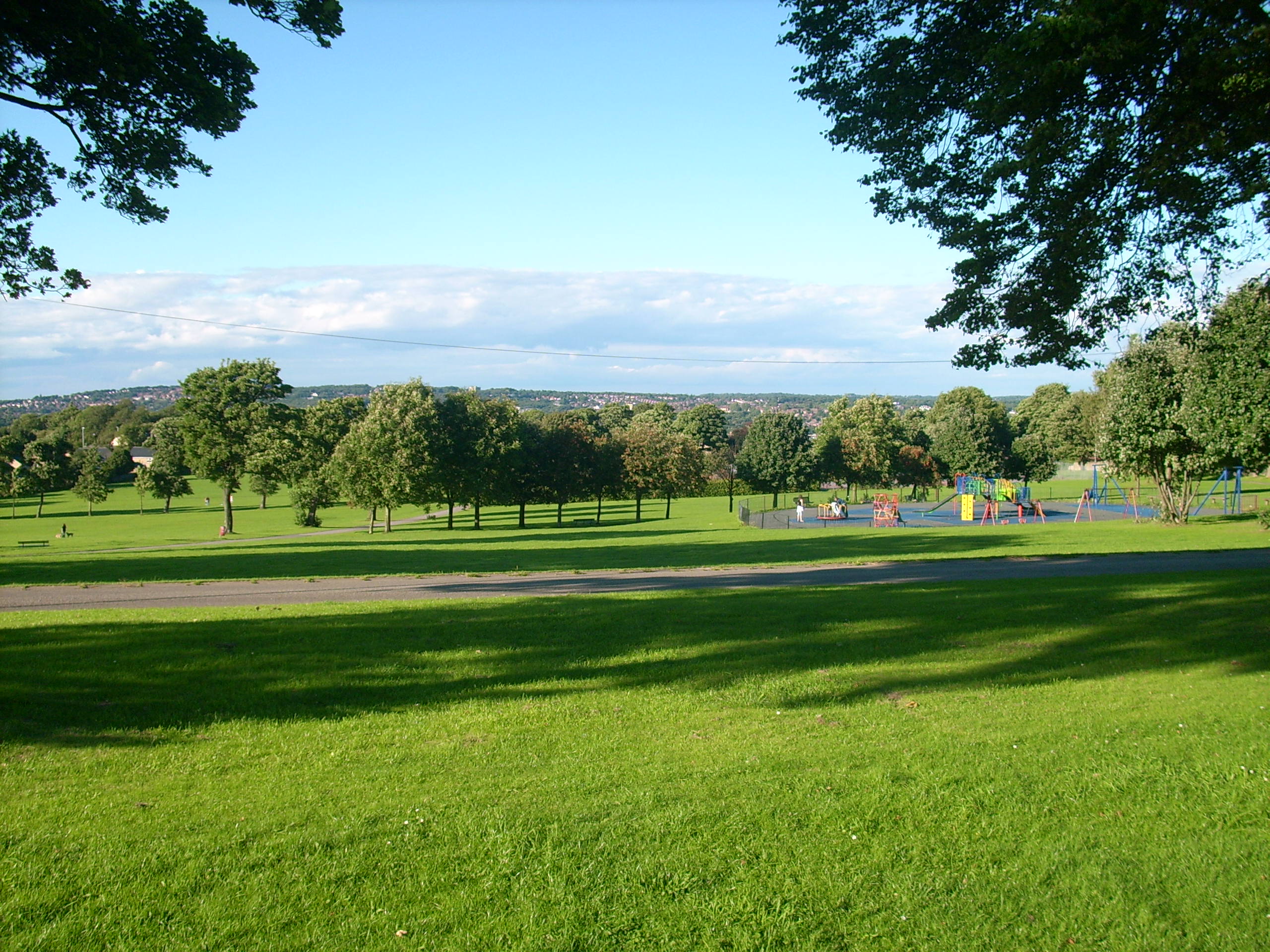
Bradley Hill Images

Images are sourced within 2km of 53.811672/-1.6483747 or Grid Reference SE2335. Thanks to Geograph Open Source API. All images are credited.

Communications Mast at Rodley Nature Reserve Looking down the entrance road heading in to Rodley Nature Reserve towards the Yorkshire Water Works at the far end. This mast carries the EE and Three mobile networks. Photograph taken on 29/09/2021.
Communications Mast at Rodley Nature Reserve
Looking down the entrance road heading in to Rodley Nature Reserve towards the Yorkshire Water Works at the far end. This mast carries the EE and Three mobile networks. Photograph taken on 29/09/2021.
Little Owl Hiding Amongst the Trees at Rodley Nature Reserve A Little Owl observed hiding amongst the trees near the Manager's Hide at Rodley Nature Reserve. Photograph taken on 29/09/2021.
Little Owl Hiding Amongst the Trees at Rodley Nature Reserve
A Little Owl observed hiding amongst the trees near the Manager's Hide at Rodley Nature Reserve. Photograph taken on 29/09/2021.
Heron and Swan Cygnet at Rodley Nature Reserve A Heron and a Swan Cygnet together at Rodley Nature Reserve. Photograph taken on 29/09/2021.
Heron and Swan Cygnet at Rodley Nature Reserve
A Heron and a Swan Cygnet together at Rodley Nature Reserve. Photograph taken on 29/09/2021.
Heron Looking Over the Water at Rodley Nature Reserve A Heron stands looking out over the lake at Rodley Nature Reserve. Photograph taken on 29/09/2021.
Heron Looking Over the Water at Rodley Nature Reserve
A Heron stands looking out over the lake at Rodley Nature Reserve. Photograph taken on 29/09/2021.
A Heron and Swans at Rodley Nature Reserve A Heron and some Swans at Rodley Nature Reserve. Photograph taken on 29/09/2021.
A Heron and Swans at Rodley Nature Reserve
A Heron and some Swans at Rodley Nature Reserve. Photograph taken on 29/09/2021.
Former Trinity Methodist Church, Pudsey A view of the east side and rear from Mount Pleasant Heights. Grade II Listed c1899.
Former Trinity Methodist Church, Pudsey
A view of the east side and rear from Mount Pleasant Heights. Grade II Listed c1899.
The A647 Leeds Ring Road / Stanningley Bypass at Pudsey Viewed from Richardshaw Lane bridge.
The A647 Leeds Ring Road / Stanningley Bypass at Pudsey
Viewed from Richardshaw Lane bridge.
The Old Hall Hotel, Farsley The Old Hall Hotel, Farsley. Photograph taken on 08/04/2018.
The Old Hall Hotel, Farsley
The Old Hall Hotel, Farsley. Photograph taken on 08/04/2018.
The Old Hall Hotel, Farsley The Old Hall Hotel, Farsley. Photograph taken on 08/04/2018.
The Old Hall Hotel, Farsley
The Old Hall Hotel, Farsley. Photograph taken on 08/04/2018.
Farsley Post Office Photograph showing the front of Farsley Post Office and Convenience Store. Photograph taken on 08/04/2018.
Farsley Post Office
Photograph showing the front of Farsley Post Office and Convenience Store. Photograph taken on 08/04/2018.
Farsley Library Photograph showing the front of Farsley Library, taken on 08/04/2018.
Farsley Library
Photograph showing the front of Farsley Library, taken on 08/04/2018.
Rainbow Chinese Takeaway, Farsley Photograph showing the front of the Rainbow Chinese Takeaway, located on Farsley Town Street. Photograph taken on 13/05/2018.
Rainbow Chinese Takeaway, Farsley
Photograph showing the front of the Rainbow Chinese Takeaway, located on Farsley Town Street. Photograph taken on 13/05/2018.
Farsley Liberal Club Photograph showing the front of Farsley Liberal Club. Photograph taken on 28/04/2019.
Farsley Liberal Club
Photograph showing the front of Farsley Liberal Club. Photograph taken on 28/04/2019.
St John's Church, Farsley Photograph showing St John's Church tower and spring blossom. Photograph taken on 28/04/2019.
St John's Church, Farsley
Photograph showing St John's Church tower and spring blossom. Photograph taken on 28/04/2019.
Win Bar Chinese Restaurant, Farsley Photograph showing the front of the Win Bar Chinese Restaurant, Farsley Town Street. Photograph taken on 28/04/2019.
Win Bar Chinese Restaurant, Farsley
Photograph showing the front of the Win Bar Chinese Restaurant, Farsley Town Street. Photograph taken on 28/04/2019.
Newlay Locks, Leeds and Liverpool Canal, Bramley Photograph taken along the Leeds and Liverpool Canal, at Newlay Locks near Bramley, Leeds. The photograph is looking in the direction of Leeds City Centre. Photograph taken on 29/12/2018.
Newlay Locks, Leeds and Liverpool Canal, Bramley
Photograph taken along the Leeds and Liverpool Canal, at Newlay Locks near Bramley, Leeds. The photograph is looking in the direction of Leeds City Centre. Photograph taken on 29/12/2018.
Urban Man Barbers, Farsley Town Street Photograph showing the front of Urban Man Barbers, located at 72 Town Street, Farsley. Photograph taken on 13/05/2018.
Urban Man Barbers, Farsley Town Street
Photograph showing the front of Urban Man Barbers, located at 72 Town Street, Farsley. Photograph taken on 13/05/2018.
Farsley Town Street near Day Lewis Pharmacy Photograph looking up Farsley Town Street taken stood outside Farsley DIY shop. The tower of St John's Church is visible in the distance. Photograph taken on 13/05/2018.
Farsley Town Street near Day Lewis Pharmacy
Photograph looking up Farsley Town Street taken stood outside Farsley DIY shop. The tower of St John's Church is visible in the distance. Photograph taken on 13/05/2018.
Show me another place!

Bradley Hill is located at Grid Ref: SE2335 (Lat: 53.811672, Lng: -1.6483747)

Division: West Riding

Unitary Authority: Leeds

Police Authority: West Yorkshire

What 3 Words

///amused.crowds.works. Near Pudsey, West Yorkshire

Nearby Locations

Bradley Hill Beecroft Hill

Related Wikis

Leeds West Academy

Leeds West Academy is a secondary school with academy status in Rodley, Leeds, West Yorkshire, England. It is well known for specialising its area of education...

Bramley Park, Leeds

Bramley Park is a community park situated near the centre of Bramley, four miles west of Leeds city centre, West Yorkshire, England. The park contains...

Bramley railway station (West Yorkshire)

Bramley railway station serves the suburb of Bramley, Leeds, England. It lies on the Calder Valley line 4 miles (6 km) west from Leeds. == History... ==

The Citadel (Farsley)

The Citadel, previously known as Throstle Nest, is a football ground situated in Farsley, in the Metropolitan District of the City of Leeds in England...

Nearby Amenities

Located within 500m of 53.811672,-1.6483747
Bus Stop
Broad Lane Richmond Close
Bench: no
Bin: no
Bus: yes
Lit: no
Local Ref: 45012516
Naptan AtcoCode: 450012516
Naptan Bearing: E
Naptan CommonName: Broad Lane Richmond Close
Naptan Crossing: Richmond Close
Naptan Indicator: Stop 45012516
Naptan PlusbusZoneRef: LEEDS
Naptan ShortCommonName: Richmond Close
Naptan Street: Broad Lane
Naptan Verified: yes
Public Transport: platform
Ref: 45012516
Shelter: no
Source: naptan_import
Tactile Paving: no
Lat/Long: 53.81007/-1.6499296
Traffic Signals
Lat/Long: 53.809795/-1.6509454
Bus Stop
Leeds & Bradford Road Mill Lane
Bench: no
Bin: no
Lit: no
Local Ref: 45012551
Naptan AtcoCode: 450012551
Naptan Bearing: SW
Naptan CommonName: Leeds & Bradford Road Mill Lane
Naptan Crossing: Mill Lane
Naptan Indicator: Stop 45012551
Naptan PlusbusZoneRef: LEEDS
Naptan ShortCommonName: Mill Lane
Naptan Street: Leeds and Bradford Road
Naptan Verified: yes
Ref: 45012551
Shelter: no
Source: naptan_import
Tactile Paving: no
Lat/Long: 53.8122285/-1.6474743
Traffic Signals
Lat/Long: 53.8101011/-1.6511401
Pub
Halfway House
Addr City: Pudsey
Addr Housenumber: 727
Addr Postcode: LS28 6PE
Addr Street: Leeds And Bradford Road
Addr Suburb: Stanningley
Fhrs Id: 937223
Lat/Long: 53.8098355/-1.6515102
Parking
Access: customers
Fee: no
Parking: surface
Lat/Long: 53.80988/-1.6512458
Crossing
Crossing: marked
Crossing Island: no
Tactile Paving: yes
Lat/Long: 53.8118112/-1.6428124
Man Made: tower
Operator: CrownCastle
Lat/Long: 53.8115669/-1.6412992
Beecroft Hill
Natural: peak
Lat/Long: 53.8113383/-1.6411224
Bramley Service Reservoir
Ele: 152
Man Made: survey_point
Ref: S3876
Tpuk Ref: TP1579
Lat/Long: 53.8111474/-1.6412576
Turning Circle
Lat/Long: 53.8078417/-1.6488263
Noexit: yes
Lat/Long: 53.8094627/-1.6524615
Post Box
Collection Times: Mo-Fr 09:00, Sa 07:00
Operator: Royal Mail
Postal Code: LS13
Ref: LS13 995
Royal Cypher: EIIR
Royal Cypher Wikidata: Q33102113
Lat/Long: 53.8114439/-1.643609
Post Box
Collection Times: Mo-Fr 09:00; Sa 07:00
Operator: Royal Mail
Postal Code: LS13
Ref: LS13 605
Royal Cypher: EIIR
Royal Cypher Wikidata: Q33102113
Lat/Long: 53.8145771/-1.6437264
Turning Circle
Lat/Long: 53.8130947/-1.6510439
Fast Food
Rahman Pizzas
Addr City: Leeds
Addr Housenumber: 41
Addr Postcode: LS13 1AJ
Addr Street: Summerfield Drive
Fhrs Id: 322644
Lat/Long: 53.8139604/-1.6491751
Post Office
Bramstan Post Office
Addr City: Leeds
Addr Housenumber: 51
Addr Postcode: LS13 1AJ
Addr Street: Summerfield Drive
Brand: Post Office
Brand Wikidata: Q1783168
Opening Hours: Mo-Fr 08:45-18:30; Sa 08:45-13:00,14:00-17:30; Su 10:00-13:00
Ref Pol Id: 4818
Website: https://www.postoffice.co.uk/branch-finder/1743236/bramstan
Lat/Long: 53.8137223/-1.6495105
Post Box
Operator: Royal Mail
Postal Code: LS13
Ref: LS13 697
Lat/Long: 53.8137844/-1.649673
Addr City: Leeds
Addr Housenumber: 51-53
Addr Postcode: LS13 1AJ
Addr Street: Summerfield Drive
Addr Suburb: Bramley
Fhrs Id: 1018430
Shop: convenience
Lat/Long: 53.8136347/-1.6496927
Bus Stop
Intake Lane The Rowans
Bus: yes
Local Ref: 45012504
Naptan AtcoCode: 450012504
Naptan Bearing: SE
Naptan CommonName: Intake Lane The Rowans
Naptan Crossing: The Rowans
Naptan Indicator: Stop 45012504
Naptan PlusbusZoneRef: LEEDS
Naptan ShortCommonName: The Rowans
Naptan Street: Intake Lane
Naptan Verified: yes
Public Transport: platform
Ref: 45012504
Source: naptan_import
Lat/Long: 53.8123552/-1.6530658
Crossing
Button Operated: yes
Crossing: traffic_signals
Crossing Island: no
Tactile Paving: yes
Traffic Signals Sound: no
Traffic Signals Vibration: yes
Lat/Long: 53.8102778/-1.6512669
Crossing
Button Operated: yes
Crossing: traffic_signals
Crossing Island: no
Tactile Paving: yes
Traffic Signals Sound: no
Traffic Signals Vibration: yes
Lat/Long: 53.8100478/-1.6512938
Disused Shop: yes
Lat/Long: 53.8101507/-1.6502162
Ornate Interiors
Man Made: works
Opening Hours: Mo-Fr 08:00-17:00; Sa 09:00-12:00
Shop: interior_decoration
Lat/Long: 53.8103839/-1.6489847
Turning Circle
Lat/Long: 53.8138476/-1.6464663
Turning Circle
Lat/Long: 53.8133201/-1.6444761
Turning Circle
Lat/Long: 53.8128504/-1.6433919
Turning Circle
Lat/Long: 53.8123921/-1.6447082
Turning Circle
Lat/Long: 53.8125398/-1.6455992
Turning Circle
Lat/Long: 53.8119959/-1.6456135
Turning Circle
Lat/Long: 53.8148222/-1.6471003
Post Box
Operator: Royal Mail
Post Box Type: pillar
Postal Code: LS13
Ref: LS13 973
Lat/Long: 53.8132222/-1.654076
Bus Stop
Stanningley Road Baptist Way
Bench: yes
Bin: yes
Bus: yes
Local Ref: 45010875
Naptan AtcoCode: 450010875
Naptan Bearing: W
Naptan CommonName: Stanningley Road Baptist Way
Naptan Crossing: Baptist Way
Naptan Indicator: Stop 45010875
Naptan PlusbusZoneRef: LEEDS
Naptan ShortCommonName: Baptist Way
Naptan Street: Stanningley Road
Naptan Verified: yes
Public Transport: platform
Shelter: yes
Source: naptan_import
Timetable: yes
Lat/Long: 53.8079007/-1.6517285
Bus Stop
Stanningley Road Baptist Way
Bus: yes
Local Ref: 45010886
Naptan AtcoCode: 450010886
Naptan Bearing: E
Naptan CommonName: Stanningley Road Baptist Way
Naptan Crossing: Baptist Way
Naptan Indicator: Stop 45010886
Naptan Landmark: Fire Station
Naptan PlusbusZoneRef: LEEDS
Naptan ShortCommonName: Baptist Way
Naptan Street: Stanningley Road
Naptan Verified: yes
Public Transport: platform
Shelter: yes
Source: naptan_import
Timetable: yes
Lat/Long: 53.8079793/-1.6509533
Bus Stop
Stanningley Road Fairfield Avenue
Bus: yes
Local Ref: 45010895
Naptan AtcoCode: 450010895
Naptan Bearing: W
Naptan CommonName: Stanningley Road Fairfield Avenue
Naptan Crossing: Fairfield Avenue
Naptan Indicator: Stop 45010895
Naptan PlusbusZoneRef: LEEDS
Naptan ShortCommonName: Fairfield Avenue
Naptan Street: Stanningley Road
Naptan Verified: yes
Public Transport: platform
Shelter: yes
Source: naptan_import
Timetable: yes
Lat/Long: 53.8074351/-1.6470706
Bus Stop
Intake Lane Fernbank Avenue
Local Ref: 45012335
Naptan AtcoCode: 450012335
Naptan Bearing: NW
Naptan CommonName: Intake Lane Fernbank Avenue
Naptan Crossing: Fernbank Avenue
Naptan Indicator: Stop 45012335
Naptan PlusbusZoneRef: LEEDS
Naptan ShortCommonName: Fernbank Avenue
Naptan Street: Intake Lane
Naptan Verified: no
Source: naptan_import
Lat/Long: 53.8127328/-1.6536021
Bus Stop
Leeds And Bradford Road Glenlea Gardens
Bench: no
Bin: no
Bus: yes
Lit: yes
Local Ref: 45012501
Naptan AtcoCode: 450012501
Naptan Bearing: SW
Naptan CommonName: Leeds And Bradford Road Glenlea Gardens
Naptan Crossing: Glenlea Gardens
Naptan Indicator: Stop 45012501
Naptan Landmark: Doctors Surgery
Naptan PlusbusZoneRef: LEEDS
Naptan ShortCommonName: Glenlea Gardens
Naptan Street: Leeds and Bradford Road
Naptan Verified: no
Public Transport: platform
Shelter: no
Source: naptan_import
Tactile Paving: no
Lat/Long: 53.8105472/-1.6500056
Bus Stop
Leeds & Bradford Road Glenlea Gardens
Bench: no
Bin: no
Bus: yes
Lit: no
Local Ref: 45012502
Naptan AtcoCode: 450012502
Naptan Bearing: NE
Naptan CommonName: Leeds & Bradford Road Glenlea Gardens
Naptan Crossing: Glenlea Gardens
Naptan Indicator: Stop 45012502
Naptan Landmark: Surgery
Naptan PlusbusZoneRef: LEEDS
Naptan ShortCommonName: Glenlea Gardens
Naptan Street: Leeds and Bradford Road
Naptan Verified: no
Public Transport: platform
Shelter: no
Source: naptan_import
Tactile Paving: no
Lat/Long: 53.8105836/-1.6501724
Bus Stop
Swinnow Lane Swinnow Crescent
Bus: yes
Local Ref: 45012503
Naptan AtcoCode: 450012503
Naptan Bearing: SE
Naptan CommonName: Swinnow Lane Swinnow Crescent
Naptan Crossing: Swinnow Crescent
Naptan Indicator: Stop 45012503
Naptan PlusbusZoneRef: LEEDS
Naptan ShortCommonName: Swinnow Crescent
Naptan Street: Swinnow Lane
Naptan Verified: no
Public Transport: platform
Source: naptan_import
Lat/Long: 53.8094252/-1.6505465
Bus Stop
Leeds And Bradford Road Calverley Lane
Bench: yes
Bin: yes
Lit: yes
Local Ref: 45012507
Naptan AtcoCode: 450012507
Naptan Bearing: NE
Naptan CommonName: Leeds And Bradford Road Calverley Lane
Naptan Crossing: Calverley Lane
Naptan Indicator: Stop 45012507
Naptan PlusbusZoneRef: LEEDS
Naptan ShortCommonName: Calverley Lane
Naptan Street: Leeds and Bradford Road
Naptan Verified: no
Shelter: yes
Source: naptan_import
Tactile Paving: no
Lat/Long: 53.8146725/-1.6437896
Bus Stop
Leeds & Bradford Road Calverley Lane
Bench: no
Bin: no
Lit: yes
Local Ref: 45012508
Naptan AtcoCode: 450012508
Naptan Bearing: SW
Naptan CommonName: Leeds & Bradford Road Calverley Lane
Naptan Crossing: Calverley Lane
Naptan Indicator: Stop 45012508
Naptan PlusbusZoneRef: LEEDS
Naptan ShortCommonName: Calverley Lane
Naptan Street: Leeds and Bradford Road
Naptan Verified: no
Shelter: no
Source: naptan_import
Tactile Paving: no
Lat/Long: 53.8138577/-1.6448697
Bus Stop
Broad Lane Nora Road
Bench: no
Bin: no
Lit: no
Local Ref: 45012517
Naptan AtcoCode: 450012517
Naptan Bearing: W
Naptan CommonName: Broad Lane Nora Road
Naptan Crossing: Nora Road
Naptan Indicator: Stop 45012517
Naptan Landmark: Unknown
Naptan PlusbusZoneRef: LEEDS
Naptan ShortCommonName: Nora Road
Naptan Street: Broad Lane
Naptan Verified: no
Shelter: no
Source: naptan_import
Tactile Paving: no
Lat/Long: 53.81053/-1.6472114
Bus Stop
Leeds & Bradford Road Mill Lane
Bench: yes
Bin: no
Lit: yes
Local Ref: 45012552
Naptan AtcoCode: 450012552
Naptan Bearing: NE
Naptan CommonName: Leeds & Bradford Road Mill Lane
Naptan Crossing: Mill Lane
Naptan Indicator: Stop 45012552
Naptan Notes: ttcase damaged more than 3 times - not to replace - new shelter to be provide route 16) 03/11/08
Naptan PlusbusZoneRef: LEEDS
Naptan ShortCommonName: Mill Lane
Naptan Street: Leeds and Bradford Road
Naptan Verified: no
Shelter: yes
Source: naptan_import
Tactile Paving: no
Lat/Long: 53.8124627/-1.6473015
Bus Stop
Broad Lane Fairfield Hill
Bench: no
Bin: yes
Lit: yes
Local Ref: 45012565
Naptan AtcoCode: 450012565
Naptan Bearing: NE
Naptan CommonName: Broad Lane Fairfield Hill
Naptan Crossing: Fairfield Hill
Naptan Indicator: Stop 45012565
Naptan Notes: No mains supply cable installed as of 05/12/07 ECG
Naptan PlusbusZoneRef: LEEDS
Naptan ShortCommonName: Fairfield Hill
Naptan Street: Broad Lane
Naptan Verified: no
Shelter: yes
Source: naptan_import
Tactile Paving: yes
Lat/Long: 53.8116062/-1.6433752
Bus Stop
Broad Lane Fairfield Hill
Bench: no
Bin: no
Lit: yes
Local Ref: 45012566
Naptan AtcoCode: 450012566
Naptan Bearing: W
Naptan CommonName: Broad Lane Fairfield Hill
Naptan Crossing: Fairfield Hill
Naptan Indicator: Stop 45012566
Naptan PlusbusZoneRef: LEEDS
Naptan ShortCommonName: Fairfield Hill
Naptan Street: Broad Lane
Naptan Verified: no
Shelter: no
Source: naptan_import
Tactile Paving: no
Lat/Long: 53.8110697/-1.6443061
Bus Stop
Broad Lane Mill Lane
Bench: no
Bin: no
Lit: yes
Local Ref: 45012567
Naptan AtcoCode: 450012567
Naptan Bearing: E
Naptan CommonName: Broad Lane Mill Lane
Naptan Crossing: Mill Lane
Naptan Indicator: Stop 45012567
Naptan Landmark: Spence Mills
Naptan PlusbusZoneRef: LEEDS
Naptan ShortCommonName: Mill Lane
Naptan Street: Broad Lane
Naptan Verified: no
Shelter: no
Source: naptan_import
Tactile Paving: no
Lat/Long: 53.8107532/-1.6466932
Bus Stop
Calverley Lane Langley Road
Local Ref: 45023797
Naptan AtcoCode: 450023797
Naptan Bearing: W
Naptan CommonName: Calverley Lane Langley Road
Naptan Crossing: Langley Road
Naptan Indicator: Stop 45023797
Naptan PlusbusZoneRef: LEEDS
Naptan ShortCommonName: Langley Road
Naptan Street: Calverley Lane
Naptan Verified: no
Source: naptan_import
Lat/Long: 53.8145861/-1.644975
Bus Stop
Swinnow Lane Stanningley Road
Bus: yes
Local Ref: 45023831
Naptan AtcoCode: 450023831
Naptan Bearing: NW
Naptan CommonName: Swinnow Lane Stanningley Road
Naptan Crossing: Stanningley Road
Naptan Indicator: Stop 45023831
Naptan Landmark: Fire Station
Naptan PlusbusZoneRef: LEEDS
Naptan ShortCommonName: Stanningley Road
Naptan Street: Swinnow Lane
Naptan Verified: no
Public Transport: platform
Source: naptan_import
Lat/Long: 53.8073898/-1.6491663
Bus Stop
Calverley Lane Langley Avenue
Local Ref: 45024291
Naptan AtcoCode: 450024291
Naptan Bearing: W
Naptan CommonName: Calverley Lane Langley Avenue
Naptan Crossing: Langley Avenue
Naptan Indicator: Stop 45024291
Naptan Landmark: School
Naptan PlusbusZoneRef: LEEDS
Naptan ShortCommonName: Langley Avenue
Naptan Street: Calverley Lane
Naptan Verified: no
Source: naptan_import
Lat/Long: 53.8160978/-1.6486076
Prosenium
Shop: hairdresser
Lat/Long: 53.8095903/-1.6521821
Post Box
Collection Times: Mo-Fr 09:00; Sa 07:00
Operator: Royal Mail
Post Box Type: wall
Ref: LS28 233
Royal Cypher: GR
Royal Cypher Wikidata: Q33102273
Lat/Long: 53.8095821/-1.6520643
Noexit: yes
Lat/Long: 53.8111904/-1.647675
Crossing
Crossing: traffic_signals
Kerb: flush
Tactile Paving: yes
Lat/Long: 53.8076951/-1.64934
Board Lane Store
Addr City: Leeds
Addr Housenumber: 478
Addr Postcode: LS13 3ER
Addr Street: Broad Lane
Addr Suburb: Bramley
Fhrs Id: 319590
Opening Hours: Mo-Sa 07:00-23:00; Su 08:30-22:00
Shop: convenience
Lat/Long: 53.8117752/-1.6432305
Turning Circle
Lat/Long: 53.8142592/-1.6545716
Traffic Calming: cushion
Lat/Long: 53.8137553/-1.6545178
Fast Food
Pizza Pie
Addr City: Leeds
Addr Housenumber: 480
Addr Postcode: LS13 3ER
Addr Street: Broad Lane
Addr Suburb: Bramley
Cuisine: pizza
Fhrs Id: 1273838
Opening Hours: Su-Th 17:00-23:00; Fr,Sa 17:00-23:00+
Takeaway: yes
Lat/Long: 53.8117159/-1.6433452
Cafe
Websters Cafe And Cakes
Addr City: Leeds
Addr Housenumber: 49
Addr Postcode: LS13 1AJ
Addr Street: Summerfield Drive
Addr Suburb: Bramley
Lat/Long: 53.8137667/-1.6494378
Sticky Fingers Pudding Company
Addr City: Leeds
Addr Housename: Spence Mills
Addr Postcode: LS13 3HE
Addr Street: Mill Lane
Addr Suburb: Bramley
Addr Unit: 5a
Craft: caterer
Lat/Long: 53.8110603/-1.6468227
Cafe
Breakfast Club
Addr City: Leeds
Addr Housename: Summerfield Primary School
Addr Postcode: LS13 1DQ
Addr Street: Intake Lane
Addr Suburb: Rodley
Fhrs Id: 321596
Lat/Long: 53.8134152/-1.6534612
Jennings Sofas
Shop: furniture
Lat/Long: 53.8074709/-1.6479484
Mohsin’s Corner Shop
Addr City: Leeds
Addr Postcode: LS13 3HX
Addr Suburb: Bramley
Opening Hours: Mo-Su 11:00-22:00
Shop: convenience
Lat/Long: 53.8082776/-1.6496608
Cafe
Anna's Kitchen
Addr City: Pudsey
Addr Housenumber: 639
Addr Postcode: LS28 6NB
Addr Street: Stanningley Road
Addr Suburb: Stanningley
Fhrs Id: 1155480
Lat/Long: 53.8077478/-1.6505899
Cafe
Sweet Baby Cheezuscakes
Addr City: Leeds
Addr Housename: Swinnow Grange Mills
Addr Postcode: LS13 4EP
Addr Street: Stanningley Road
Fhrs Id: 1157922
Lat/Long: 53.8072243/-1.6487002
Waste Basket
Collection Times: Tu; Th
Condition: FAIR
Ref UK Leedscc Bin: 5033
Waste Basket Model: METAL TWIN
Lat/Long: 53.81598/-1.64824
Waste Basket
Collection Times: Tu; Th
Condition: FAIR
Ref UK Leedscc Bin: 3134
Waste Basket Model: METAL TWIN
Lat/Long: 53.814006/-1.649199
Waste Basket
Collection Times: Tu; Th
Condition: FAIR
Ref UK Leedscc Bin: 3135
Waste Basket Model: METAL TWIN
Lat/Long: 53.813781/-1.649559
Waste Basket
Collection Times: Tu; Th
Condition: FAIR
Ref UK Leedscc Bin: 5029
Waste Basket Model: METAL TWIN
Lat/Long: 53.813167/-1.653675
Waste Basket
Collection Times: Tu; Th
Condition: GOOD
Ref UK Leedscc Bin: 5028
Waste Basket Model: METAL SQUARE
Lat/Long: 53.812639/-1.653717
Waste Basket
Collection Times: Tu; Th
Condition: GOOD
Ref UK Leedscc Bin: 5027
Waste Basket Model: METAL SQUARE
Lat/Long: 53.812494/-1.652922
Waste Basket
Collection Times: Tu; Th
Condition: GOOD
Ref UK Leedscc Bin: 1723
Waste Basket Model: METAL SQUARE
Lat/Long: 53.814774/-1.643747
Waste Basket
Collection Times: Tu; Th
Condition: GOOD
Ref UK Leedscc Bin: 5793
Waste Basket Model: METAL TWIN
Lat/Long: 53.810123/-1.651621
Waste Basket
Collection Times: Tu; Th
Condition: POOR
Ref UK Leedscc Bin: 433
Waste Basket Model: METAL TWIN
Lat/Long: 53.812361/-1.642237
Waste Basket
Collection Times: Tu; Th
Condition: GOOD
Ref UK Leedscc Bin: 430
Waste Basket Model: METAL SQUARE
Lat/Long: 53.810074/-1.650141
Waste Basket
Collection Times: Tu; Th
Condition: GOOD
Ref UK Leedscc Bin: 1724
Waste Basket Model: METAL TWIN
Lat/Long: 53.809808/-1.652144
Waste Basket
Collection Times: Tu; Th
Condition: GOOD
Ref UK Leedscc Bin: 1727
Waste Basket Model: METAL SQUARE
Lat/Long: 53.809604/-1.654503
Waste Basket
Collection Times: Tu; Th
Condition: GOOD
Ref UK Leedscc Bin: 5863
Waste Basket Model: METAL SQUARE
Lat/Long: 53.810183/-1.648586
Waste Basket
Collection Times: Tu; Th
Condition: GOOD
Ref UK Leedscc Bin: 5041
Waste Basket Model: METAL SQUARE
Lat/Long: 53.810327/-1.643634
Waste Basket
Collection Times: Tu; Th
Condition: GOOD
Ref UK Leedscc Bin: 5791
Waste Basket Model: METAL SQUARE
Lat/Long: 53.808229/-1.652675
Waste Basket
Collection Times: Tu; Th
Condition: GOOD
Ref UK Leedscc Bin: 5026
Waste Basket Model: METAL SQUARE
Lat/Long: 53.808359/-1.648858
Waste Basket
Collection Times: Tu; Th
Condition: FAIR
Ref UK Leedscc Bin: 3336
Waste Basket Model: METAL TWIN
Lat/Long: 53.808013/-1.650808
Waste Basket
Collection Times: Tu; Th
Condition: FAIR
Ref UK Leedscc Bin: 5025
Waste Basket Model: METAL TWIN
Lat/Long: 53.80776/-1.650832
Waste Basket
Collection Times: Tu; Th
Condition: GOOD
Ref UK Leedscc Bin: 8282
Waste Basket Model: METAL SQUARE
Lat/Long: 53.807581/-1.64617
Crossing
Crossing: marked
Lat/Long: 53.8109178/-1.6427373
Parking
Access: private
Parking: surface
Surface: unpaved
Lat/Long: 53.811809/-1.6465894
Jordan Upholstery Ltd
Addr City: Leeds
Addr Country: GB
Addr Housename: Spence Mills
Addr Postcode: LS13 3HE
Addr Street: Mill Lane
Addr Suburb: Bramley
Addr Unit: 8
Contact Phone: +44 113 3187919
Craft: upholsterer
Opening Hours: Mo-Su 10:00-21:00
Operator: Brendan Jordan
Lat/Long: 53.8109583/-1.6469209
Addr City: Leeds
Addr Housenumber: 19
Addr Street: Nora Terrace
Entrance: home
Lat/Long: 53.8111071/-1.6481793
The data included in this document is from www.openstreetmap.org. The data is made available under ODbL.

Have you been to Bradley Hill?

Leave your review of Bradley Hill below (or comments, questions and feedback).