Bowers Bent
Settlement in Staffordshire Stafford
England
Bowers Bent

Bowers Bent is a small village located in the county of Staffordshire, England. Situated approximately 8 miles southwest of the county town, Stafford, Bowers Bent is nestled in a rural setting surrounded by picturesque countryside.
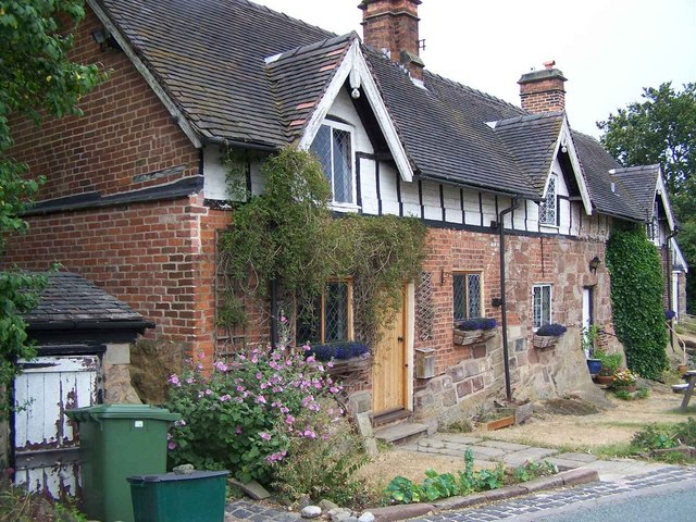
The village is known for its peaceful and idyllic atmosphere, making it an attractive destination for those seeking a tranquil retreat. The area is characterized by its rolling green hills, scattered woodlands, and charming cottages, which contribute to the village's traditional English charm.
Despite its small size, Bowers Bent has a strong sense of community, with a close-knit population that actively participates in local events and activities. The village hosts an annual summer fair, where residents and visitors come together to enjoy traditional games, music, and local produce.
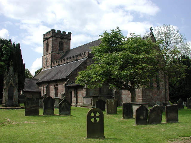
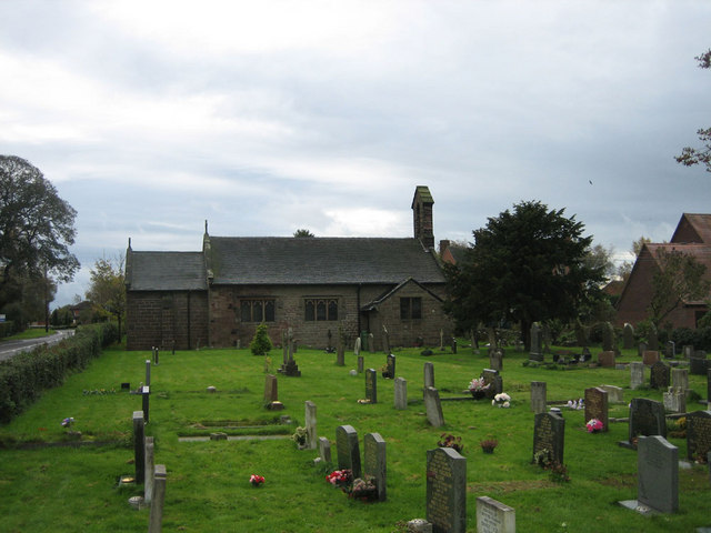
The village also boasts several historical landmarks, such as the Grade II listed St. Mary's Church, which dates back to the 13th century. This beautiful church is renowned for its architectural features, including a stunning stained glass window and an intricately carved wooden pulpit.
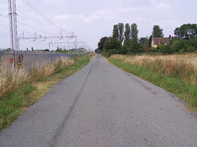
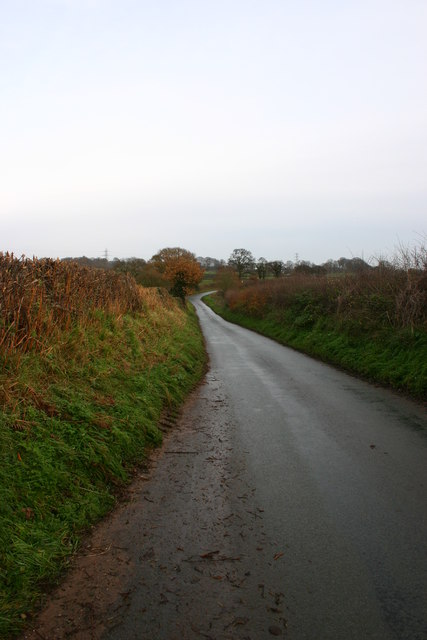
For those who enjoy outdoor pursuits, Bowers Bent offers a range of opportunities to explore the surrounding natural beauty. Numerous walking and cycling trails crisscross the area, providing stunning views of the Staffordshire countryside.
In conclusion, Bowers Bent is a charming village in Staffordshire, England, offering a peaceful retreat and a strong sense of community. With its picturesque surroundings, historical landmarks, and outdoor activities, it is an ideal destination for those seeking a quintessential English countryside experience.
If you have any feedback on the listing, please let us know in the comments section below.
Bowers Bent Images
Images are sourced within 2km of 52.919097/-2.2650479 or Grid Reference SJ8235. Thanks to Geograph Open Source API. All images are credited.


Bowers Bent is located at Grid Ref: SJ8235 (Lat: 52.919097, Lng: -2.2650479)
Administrative County: Staffordshire
District: Stafford
Police Authority: Staffordshire
What 3 Words
///juror.appeal.aliens. Near Standon, Staffordshire
Nearby Locations
Related Wikis

Standon Bridge railway station
Standon Bridge railway station was a railway station in Standon, approximately 4 miles (6.4 km) west of Stone, Staffordshire. The station closed on 4 February...

Standon, Staffordshire
Standon is a village and civil parish in the Stafford district, in the county of Staffordshire, England. Standon has a church called Church of All Saints...
Bowers, Staffordshire
Bowers is a village in Staffordshire, England. For population details as taken in the 2011 census see Standon.

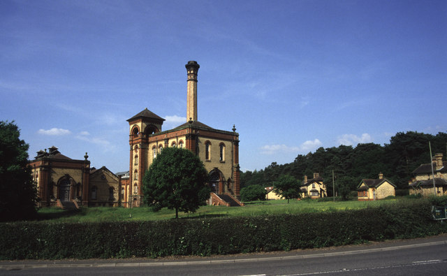
Mill Meece Pumping Station
Mill Meece Pumping Station is a pumping station, located in the village of Mill Meece in Staffordshire, England. Its function, powered by steam engines...
Coombesdale
Coombesdale is a small settlement in Staffordshire, England. It is near the A51 road and is 6 kilometres (4 mi) southwest of the city of Stoke-on-Trent...

Swynnerton Hall
Swynnerton Hall is an 18th-century country mansion house, the home of Lord Stafford, situated at Swynnerton near Stone, Staffordshire. It is a Grade I...

Swynnerton
Swynnerton is a village and civil parish in Staffordshire, England. It lies in the Borough of Stafford, and at the 2001 census had a population of 4,233...
Beechcliff
Beechcliff is a village in Staffordshire, England. For population details at the 2011 census see Swynnerton
Nearby Amenities
Located within 500m of 52.919097,-2.2650479Have you been to Bowers Bent?
Leave your review of Bowers Bent below (or comments, questions and feedback).