Bowermadden

Settlement in Caithness

Scotland

Bowermadden

Bower Kirk
Bower Kirk Credit: Peter Moore

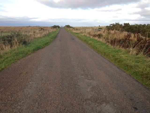
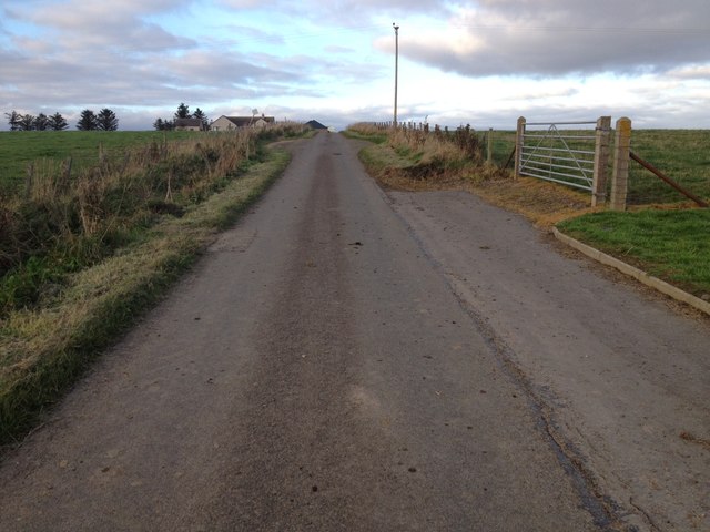
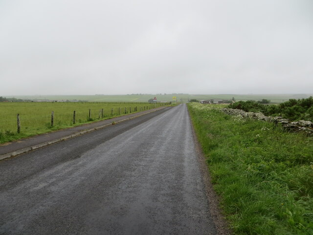
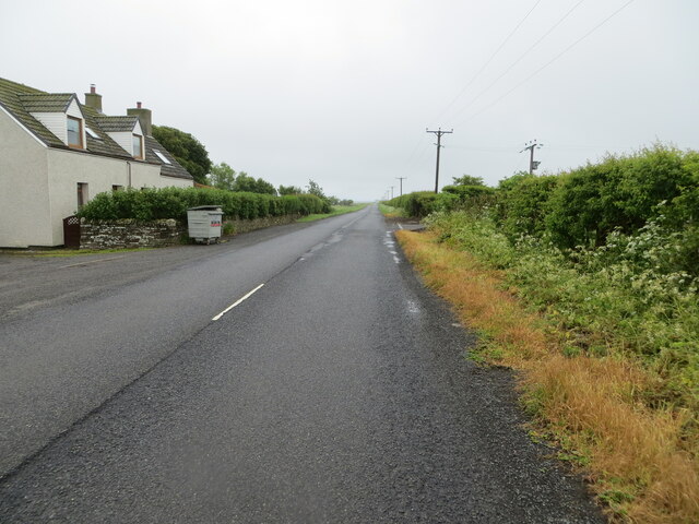
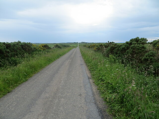
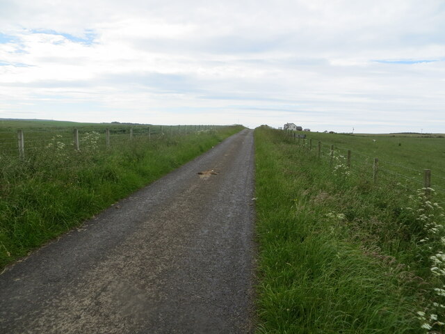
Bowermadden is a small village located in the county of Caithness, in the far north of Scotland. Situated about 2 miles west of Thurso, it lies on the A836 road, which connects the village with other nearby towns and villages.

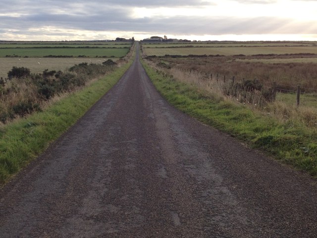
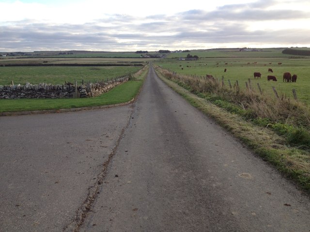
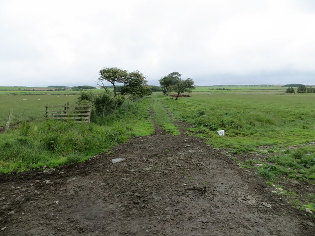
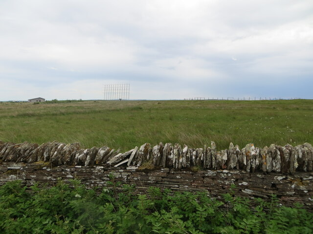
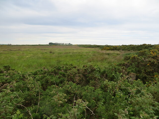
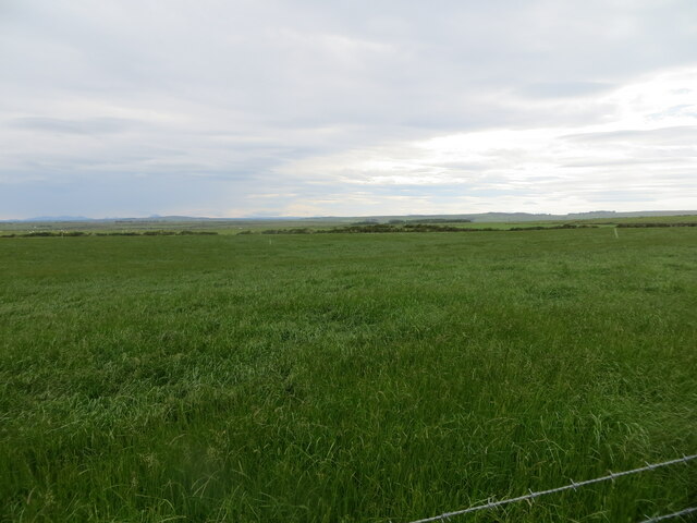
The village is known for its picturesque setting, surrounded by rolling green fields and stunning views of the Pentland Firth. Bowermadden is home to a close-knit community, with a population of around 200 residents.

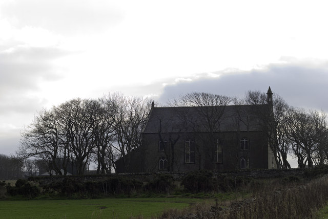
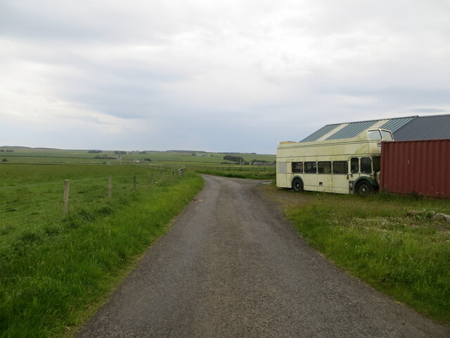
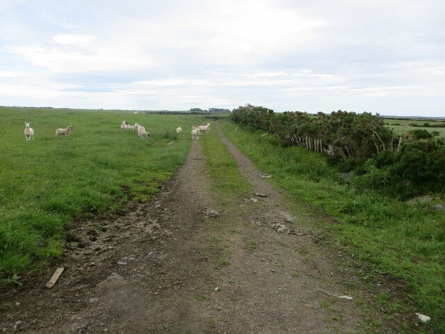
Historically, Bowermadden has strong ties to the agricultural industry, with many residents working in farming or related occupations. The village itself has a charming rural character, with traditional stone houses and well-maintained gardens.

In terms of amenities, Bowermadden offers a few basic facilities for its residents. These include a primary school, a community hall, and a local pub. For more extensive services and amenities, residents often travel to nearby Thurso, where they can find a wider range of shops, restaurants, and leisure facilities.

Bowermadden also benefits from its proximity to the stunning Caithness coastline, which offers a wealth of outdoor activities and attractions. Residents and visitors can enjoy scenic walks along the cliffs, explore ancient ruins, or take part in water sports such as surfing and kayaking.

Overall, Bowermadden is a peaceful and picturesque village, offering a tranquil way of life amidst the beautiful Scottish countryside.

If you have any feedback on the listing, please let us know in the comments section below.

Bowermadden Images

Images are sourced within 2km of 58.557366/-3.3013058 or Grid Reference ND2463. Thanks to Geograph Open Source API. All images are credited.

Bower Kirk
Bower Kirk
Former radiostation near Reaster
Minor road near Reaster
Minor road near Bowermadden
Minor road heading towards Bower Looking north-eastward from Bower Church.
Minor road heading towards Bower
Looking north-eastward from Bower Church.
Road (B876) at Lower Thura Looking south-eastward.
Road (B876) at Lower Thura
Looking south-eastward.
Field edge track giving access to Leans of Thura Looking north-eastward from the B876 road.
Field edge track giving access to Leans of Thura
Looking north-eastward from the B876 road.
Seater Landfill Site public closure notice
The remnants of a former Radio Station near Reaster Looking south-eastward.
The remnants of a former Radio Station near Reaster
Looking south-eastward.
Field and hedging on the Moss of Greenland Looking north-westward.
Field and hedging on the Moss of Greenland
Looking north-westward.
A straight stretch of minor road Looking south-westward towards Hunster
A straight stretch of minor road
Looking south-westward towards Hunster
Minor road and off-route sight seeing bus near Ha' of Bowermadden Looking south-westward. The bus would appear to be a long way from home. Its destination panel is showing that it is bound for The Needles Old Battery (on the Isle of Wight).
Minor road and off-route sight seeing bus near Ha' of Bowermadden
Looking south-westward. The bus would appear to be a long way from home. Its destination panel is showing that it is bound for The Needles Old Battery (on the Isle of Wight).
Field edge farm track and grazing sheep near Bowermadden Looking north-eastward.
Field edge farm track and grazing sheep near Bowermadden
Looking north-eastward.
Grazing land near Hill View Looking south-westward.
Grazing land near Hill View
Looking south-westward.
Fence-lined minor road near to Round Hill Looking north-westward.
Fence-lined minor road near to Round Hill
Looking north-westward.
Show me another place!

Bowermadden is located at Grid Ref: ND2463 (Lat: 58.557366, Lng: -3.3013058)

Unitary Authority: Highland

Police Authority: Highlands and Islands

What 3 Words

///vipers.reset.striving. Near Halkirk, Highland

Nearby Locations

Bowermadden

Related Wikis

Bower, Highland

Bower (Scottish Gaelic: BĂ gair) is a village and civil parish in Highland, Scotland It is 10 miles from Thurso and around 11 miles from Wick. Bower is...

Reaster

Reaster is a small village in Bower parish, Caithness Highland, Scotland.
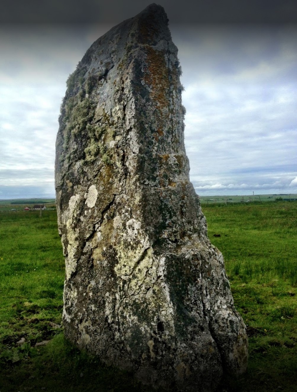
Stone Lud

The Stone Lud is a standing stone in the parish of Bower in Caithness, in the Highland area of Scotland. It is located and about 7 kilometres (4.3 mi)...

Brabsterdorran

Brabsterdorran is an area of the civil parish of Bower in Highland, Scotland. Buildings include Bower Community Hall and the Old Free Church Manse, previously...

Nearby Amenities

Located within 500m of 58.557366,-3.3013058
Power: pole
Lat/Long: 58.5600901/-3.3079514
Power: pole
Lat/Long: 58.5594663/-3.308863
Power: pole
Lat/Long: 58.5540836/-3.3071209
Power: pole
Lat/Long: 58.5538109/-3.3061291
Power: pole
Lat/Long: 58.5532786/-3.3041221
Power: pole
Lat/Long: 58.5530006/-3.3012034
Power: pole
Lat/Long: 58.5537367/-3.3009283
Power: pole
Lat/Long: 58.5542113/-3.3007516
Power: pole
Lat/Long: 58.554707/-3.300579
Power: pole
Lat/Long: 58.5551985/-3.3003963
Bowermadden
Place: hamlet
Lat/Long: 58.557139/-3.30557
The data included in this document is from www.openstreetmap.org. The data is made available under ODbL.

Have you been to Bowermadden?

Leave your review of Bowermadden below (or comments, questions and feedback).