Borrowfield

Settlement in Kincardineshire

Scotland

Borrowfield

Brucewells Bungalow A farm cottage
Brucewells Bungalow Credit: Alan Reid

Borrowfield is a small village located in the historical county of Kincardineshire, Scotland. Situated in the northeast part of the country, it is nestled among the rolling hills and picturesque landscapes that characterize the region. The village lies approximately 4 miles northwest of the town of Stonehaven and enjoys a tranquil and rural setting.

Borrowfield is primarily an agricultural community, with farming being the main occupation for many of its residents. The fertile soil and favorable climate in the area make it ideal for cultivating crops and rearing livestock. As such, the village is surrounded by vast fields and farmlands, adding to its bucolic charm.

Although small in size, Borrowfield boasts a tight-knit community that is known for its friendly and welcoming nature. The village has a strong sense of community spirit and residents take pride in organizing various social and cultural events throughout the year. This includes annual festivals, community gatherings, and charity fundraisers, fostering a sense of belonging and togetherness among its inhabitants.

For amenities, Borrowfield has a few essential services such as a local shop and a primary school, ensuring that residents have access to daily necessities and education for their children. The village also benefits from its close proximity to Stonehaven, where more extensive facilities, including supermarkets, healthcare services, and leisure activities, can be found.

In conclusion, Borrowfield is a charming rural village in Kincardineshire, Scotland, known for its agricultural heritage, strong community bonds, and peaceful surroundings. It offers residents a tranquil way of life while also benefiting from its proximity to nearby towns for additional amenities and services.

If you have any feedback on the listing, please let us know in the comments section below.
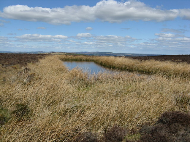
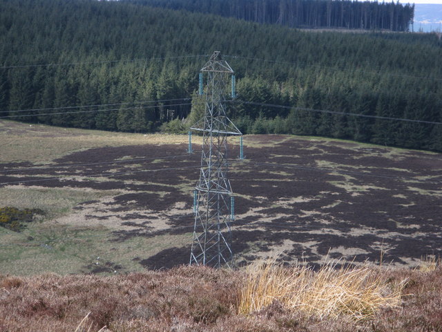
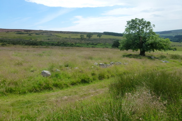
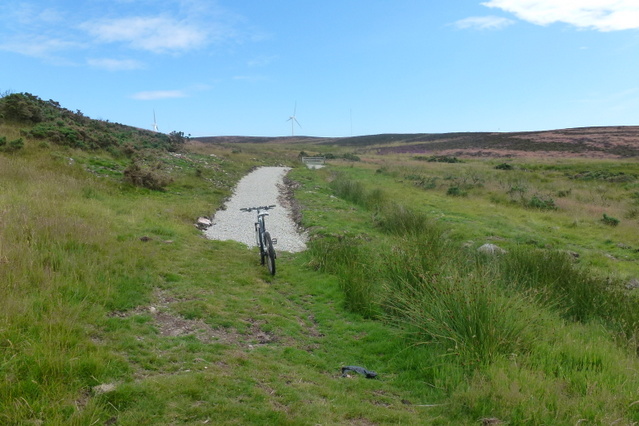
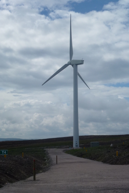
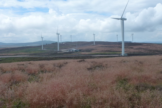
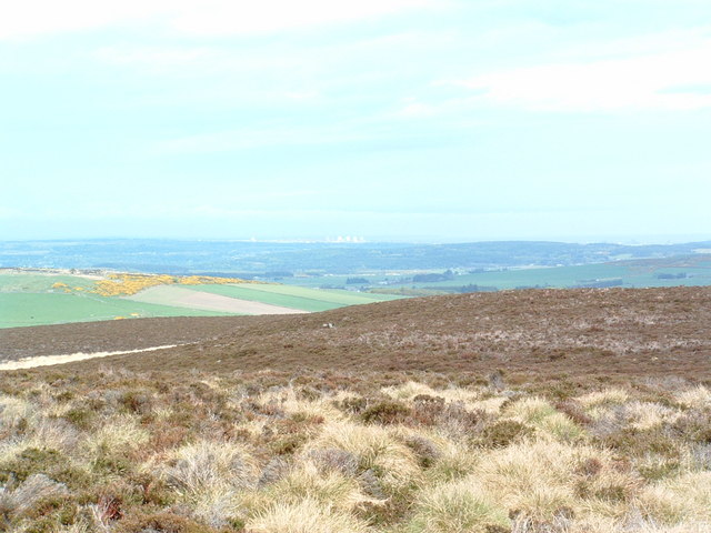
Borrowfield Images

Images are sourced within 2km of 57.030276/-2.2805411 or Grid Reference NO8393. Thanks to Geograph Open Source API. All images are credited.

Brucewells Bungalow A farm cottage
Brucewells Bungalow
A farm cottage
Barley field at Nether Craigwell Looking northwards over a field of barley to the west of Nether Craigwell.
Barley field at Nether Craigwell
Looking northwards over a field of barley to the west of Nether Craigwell.
Upper Burnhaugh Converted steading at Upper Burnhaugh.
Upper Burnhaugh
Converted steading at Upper Burnhaugh.
Sheep near Newlands Sheep dotted around pastureland between Newlands and Trees.
Sheep near Newlands
Sheep dotted around pastureland between Newlands and Trees.
Curlethney trig. point
Pond between Curlethney Hill and Meikle Carewe Hill
H.V. pylon on Meikle Carewe
Cows grazing and lying in the level fields
Muddy entrance to expansive chequered fields. Photographer is standing quite close to the metal field gate entrance.
Muddy entrance to expansive chequered fields.
Photographer is standing quite close to the metal field gate entrance.
Sheep staring at photographer These sheep were as interested in the photographic process as the photographer was in them.
Sheep staring at photographer
These sheep were as interested in the photographic process as the photographer was in them.
A lone tree The track goes through the derelict farm steading of Smallburn, leading to Moss of Blackpots.  The tree is surrounded by rubble, and the low remains of farm buildings are just visible in the long grass
A lone tree
The track goes through the derelict farm steading of Smallburn, leading to Moss of Blackpots. The tree is surrounded by rubble, and the low remains of farm buildings are just visible in the long grass
A new hill track The new way marked track leading to Meikle Carewe windfarm.  The track snakes like a white ribbon over the Moss of Blackpots and can be seen clearly from the road leading to Easter Auquhollie
A new hill track
The new way marked track leading to Meikle Carewe windfarm. The track snakes like a white ribbon over the Moss of Blackpots and can be seen clearly from the road leading to Easter Auquhollie
Wind Turbine T4 Wind Turbine & access road, one of the turbines at Meikle Carewe windfarm
Wind Turbine
T4 Wind Turbine & access road, one of the turbines at Meikle Carewe windfarm
Meikle Carewe Windfarm The wind turbines at Meikle Carewe windfarm from Curlethney Hill
Meikle Carewe Windfarm
The wind turbines at Meikle Carewe windfarm from Curlethney Hill
Netherley School, Aberdeenshire A small school found in the hamlet of Netherley.
The school has 32 pupils according to this web page 
<span class="nowrap"><a title="http://atschool.eduweb.co.uk/netherley.pr/" rel="nofollow ugc noopener" href="http://atschool.eduweb.co.uk/netherley.pr/">Link</a><img style="margin-left:2px;" alt="External link" title="External link - shift click to open in new window" src="https://s1.geograph.org.uk/img/external.png" width="10" height="10"/></span>
Netherley School, Aberdeenshire
A small school found in the hamlet of Netherley. The school has 32 pupils according to this web page LinkExternal link
Meikle Carewe Looking north towards Aberdeens sunlit tenements this hill is at present at
the centre of a controversial windfarm proposal
Meikle Carewe
Looking north towards Aberdeens sunlit tenements this hill is at present at the centre of a controversial windfarm proposal
Netherley School and Schoolhouse
Ambleside From near Borrowfield.
Ambleside
From near Borrowfield.
Show me another place!

Borrowfield is located at Grid Ref: NO8393 (Lat: 57.030276, Lng: -2.2805411)

Unitary Authority: Aberdeenshire

Police Authority: North East

What 3 Words

///playback.elbow.forgets. Near Peterculter, Aberdeen

Nearby Locations

Borrowfield

Related Wikis

Borrowfield

Borrowfield is a settlement in Aberdeenshire, Scotland in proximity to Netherley. == History == Roman legions marched from Raedykes to Normandykes Roman...

Meikle Carewe Hill

Meikle Carewe Hill is a landform in Aberdeenshire, Scotland within the Mounth Range of the Grampian Mountains. (Grid Reference NO 921 828) The peak elevation...

Kincardine and Mearns

Kincardine and Mearns is one of six area committees of the Aberdeenshire council area in Scotland. It has a population of 38,506 (2001 Census). There...

Curlethney Hill

Curlethney Hill is a landform in Aberdeenshire, Scotland within the Mounth Range of the Grampian Mountains. (Grid Reference NO 918 839) The peak elevation...

Nearby Amenities

Located within 500m of 57.030276,-2.2805411
Design: barrel
Power: tower
Lat/Long: 57.030402/-2.2878762
Power: pole
Lat/Long: 57.0344022/-2.2810283
Power: pole
Lat/Long: 57.0340028/-2.2802569
Power: pole
Lat/Long: 57.0335807/-2.2794646
Power: pole
Lat/Long: 57.0331711/-2.2786952
Power: pole
Lat/Long: 57.0327773/-2.2779258
Power: pole
Lat/Long: 57.0323066/-2.2770296
Power: pole
Lat/Long: 57.031682/-2.2764244
Power: pole
Lat/Long: 57.0312486/-2.2752641
Power: pole
Lat/Long: 57.0308468/-2.2741641
Power: pole
Lat/Long: 57.0305108/-2.2732637
Power: pole
Lat/Long: 57.0301871/-2.2723591
Power: pole
Lat/Long: 57.031407/-2.27699
Power: pole
Lat/Long: 57.0310064/-2.2778301
Power: pole
Lat/Long: 57.0305787/-2.2787139
The data included in this document is from www.openstreetmap.org. The data is made available under ODbL.

Have you been to Borrowfield?

Leave your review of Borrowfield below (or comments, questions and feedback).