Borrowfield
Settlement in Angus
Scotland
Borrowfield
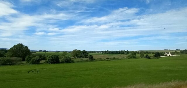
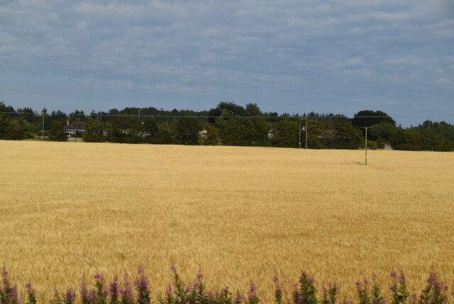
Borrowfield is a small village located in the county of Angus, Scotland. Situated approximately 3 miles north of Montrose, it lies on the eastern coast of Scotland, overlooking the North Sea. The village is surrounded by picturesque countryside, with rolling hills and farmland adding to its charm.
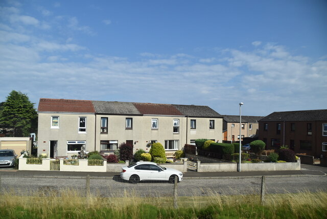
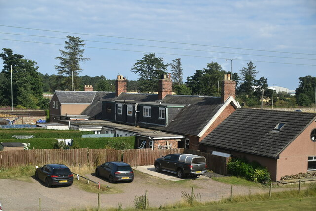
Borrowfield is known for its peaceful and close-knit community, offering a tranquil escape from the hustle and bustle of larger towns and cities. The village is predominantly residential, with a mix of traditional stone-built houses and modern properties. The streets are lined with well-maintained gardens and trees, creating a pleasant and inviting atmosphere.
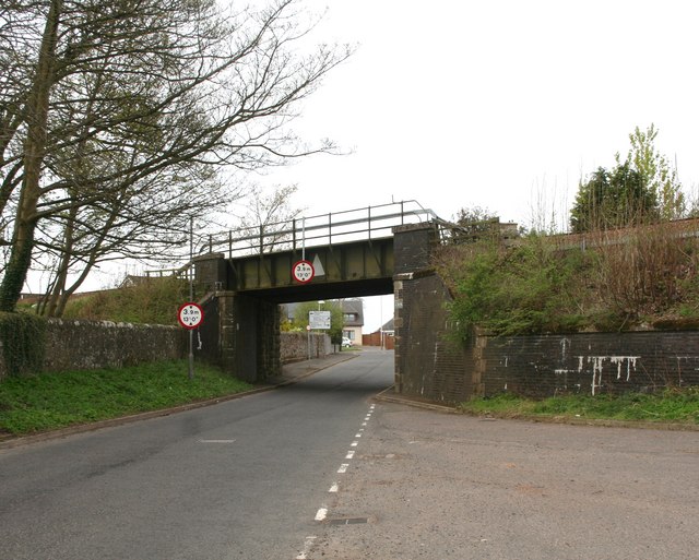
Despite its small size, Borrowfield boasts several amenities to cater to its residents' needs. This includes a local convenience store, a primary school, and a community center, which acts as a hub for various activities and events. The village is also well-connected, with regular bus services to nearby towns and cities.
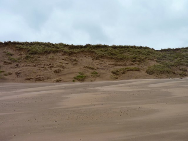
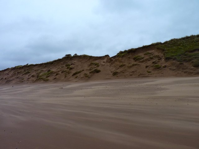
Nature enthusiasts will find plenty to explore in Borrowfield and its surrounding areas. The nearby Montrose Basin Nature Reserve is a haven for birdwatchers, as it serves as a vital feeding and resting spot for thousands of migratory birds. Additionally, the coastline offers beautiful sandy beaches and coastal walks, perfect for those seeking outdoor activities or a serene spot to unwind.
In summary, Borrowfield is a tranquil village in Angus, Scotland, offering a close-knit community, beautiful scenery, and easy access to nature.
If you have any feedback on the listing, please let us know in the comments section below.
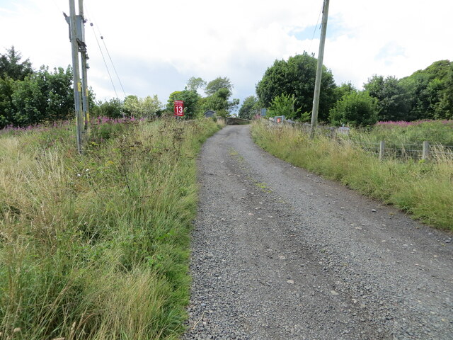
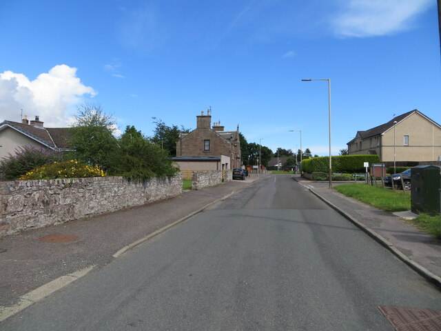
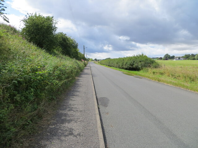
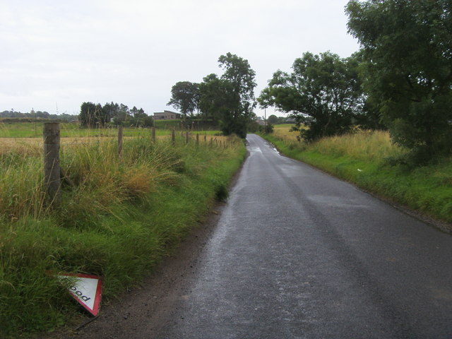
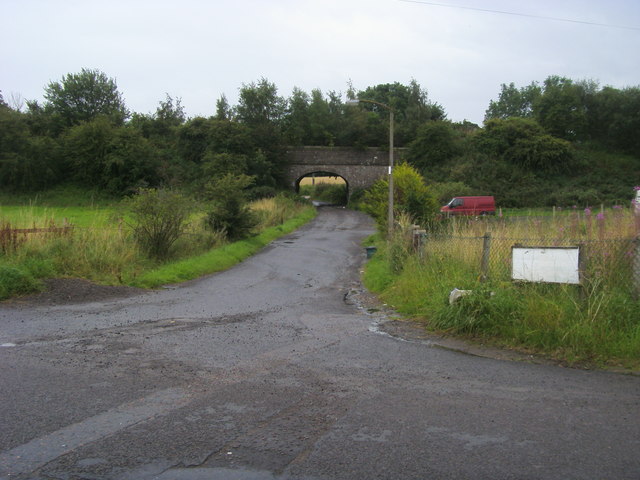
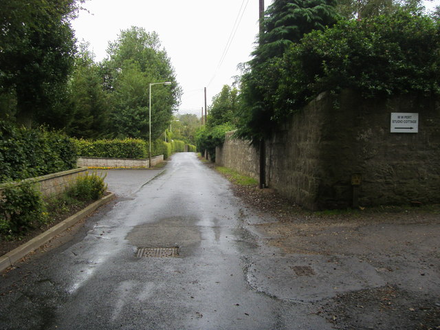
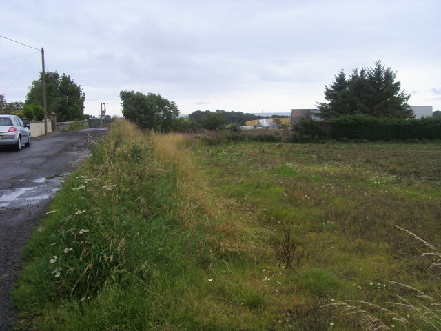
Borrowfield Images
Images are sourced within 2km of 56.730044/-2.4678451 or Grid Reference NO7159. Thanks to Geograph Open Source API. All images are credited.
Borrowfield is located at Grid Ref: NO7159 (Lat: 56.730044, Lng: -2.4678451)
Unitary Authority: Angus
Police Authority: Tayside
What 3 Words
///wider.hopefully.totally. Near Montrose, Angus
Nearby Locations
Related Wikis

Broomfield Junction Halt railway station
Broomfield Junction Halt railway station served the town of Montrose, Angus, Scotland from 1865 to 1877 on the Montrose and Bervie Railway. == History... ==

Lochside distillery
Lochside distillery was a distillery in Montrose, Angus that produced single malt scotch whisky and grain whisky. The distillery was owned by Macnab Distilleries...
RAF Montrose
Royal Air Force Montrose or more simply RAF Montrose is a former Royal Air Force station in Forfarshire (now more commonly called Angus) in Scotland. It...
Hillside railway station, NBR
Hillside railway station served the village of Hillside, Angus, Scotland from 1883 to 1927 on the North British, Arbroath and Montrose Railway. == History... ==

Hillside, Angus
Hillside is a village in Angus, Scotland, situated 1 mile to the north of Montrose. The village is the location for the now disused psychiatric hospital...
Dubton railway station
Dubton railway station (also known as Dubton Junction railway station) served the village of Hillside, Scotland and the nearby hamlet of Dubton, after...

Links Park
Links Park is a football stadium in Montrose, Scotland. It has been the home ground of Montrose F.C. since 1887. Links Park was opened in 1887 on land...
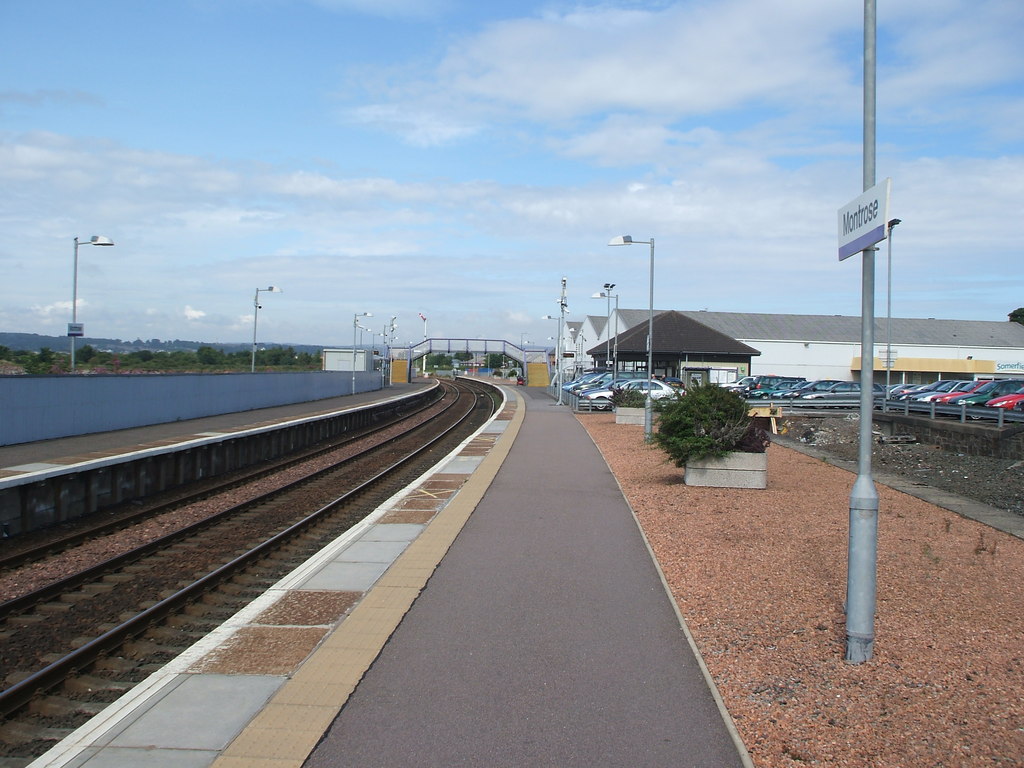
Montrose railway station
Montrose railway station serves the town of Montrose in Angus, Scotland. The station overlooks the Montrose Basin and is situated on the Dundee–Aberdeen...
Nearby Amenities
Located within 500m of 56.730044,-2.4678451Have you been to Borrowfield?
Leave your review of Borrowfield below (or comments, questions and feedback).