Boothorpe

Settlement in Leicestershire North West Leicestershire

England

Boothorpe

The New Inn This "new" inn has been here since at least 1809.
The New Inn Credit: Ian Calderwood

Boothorpe is a small village located in the district of Leicestershire, England. Situated approximately 5 miles south of Leicester city center, it is nestled within the beautiful English countryside. The village is part of the Harborough district and falls under the civil parish of Kibworth Harcourt.

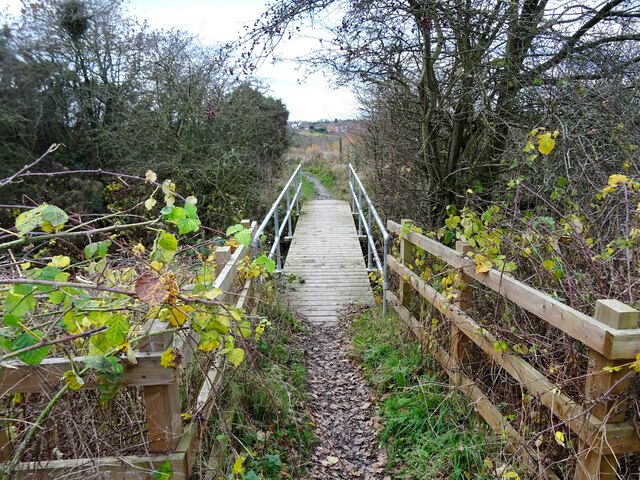
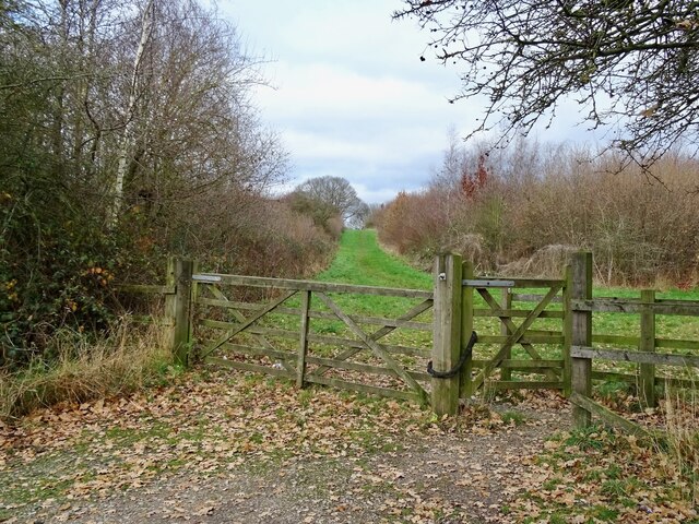
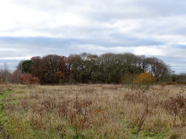
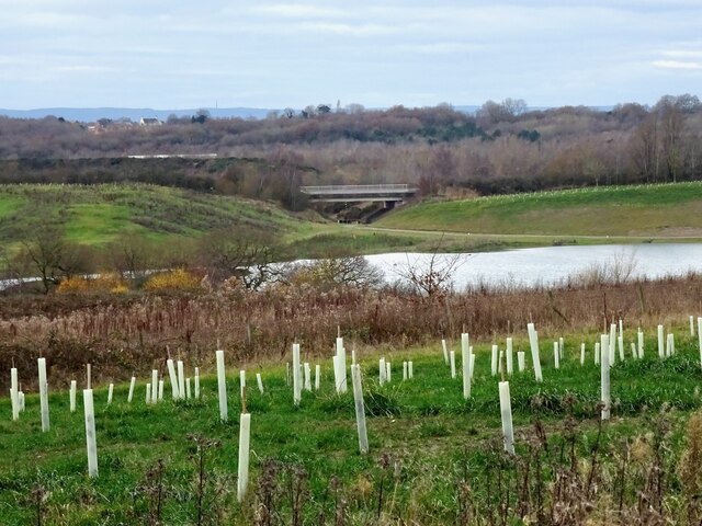
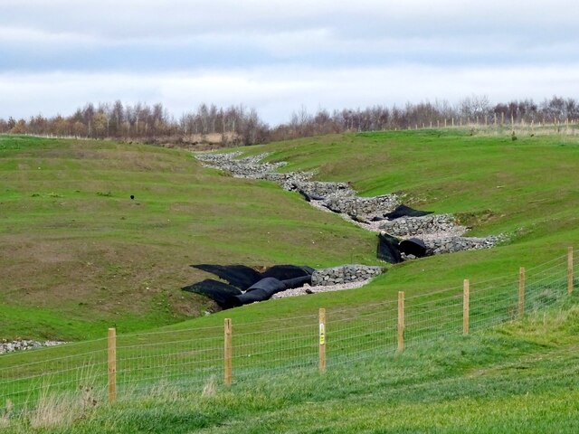
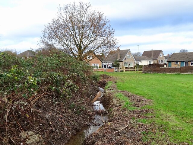
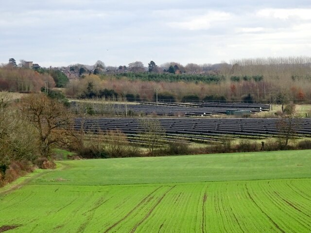
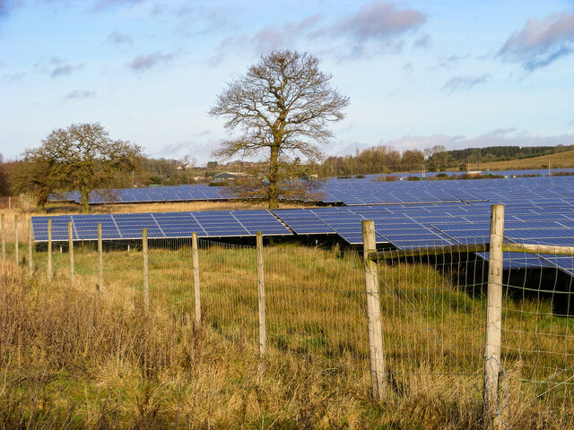
Boothorpe is known for its picturesque setting, characterized by rolling hills, lush green fields, and charming cottages. The village is surrounded by farmland, making it an ideal location for those seeking a peaceful and rural lifestyle. The nearby Grand Union Canal also adds to the village's scenic appeal.

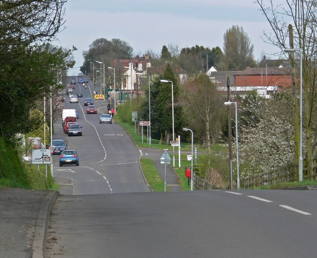
Although Boothorpe is primarily residential, it benefits from its close proximity to larger towns and cities. Residents have easy access to the amenities and services available in Leicester, such as shopping centers, restaurants, and recreational facilities. The village is also conveniently located near major roadways, including the A6 and A14, providing convenient transportation links to other parts of Leicestershire and beyond.

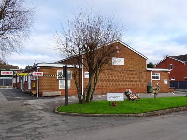
Boothorpe has a close-knit community, with various community events and activities taking place throughout the year. The village has a primary school, which serves the local area, as well as a church, offering spiritual support to residents.

Overall, Boothorpe offers a peaceful and idyllic countryside living experience, while still providing easy access to nearby urban centers. With its scenic surroundings and strong community spirit, it is a desirable place to call home for those seeking a tranquil and close community.

If you have any feedback on the listing, please let us know in the comments section below.
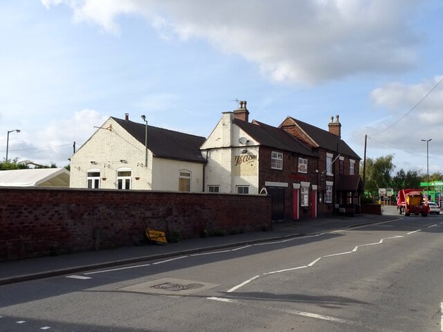
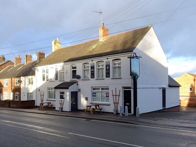
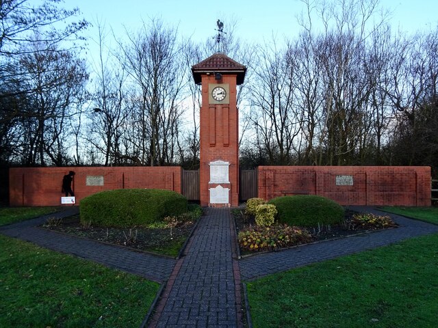
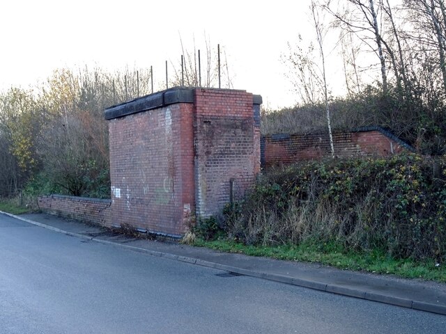
Boothorpe Images

Images are sourced within 2km of 52.754432/-1.5274001 or Grid Reference SK3117. Thanks to Geograph Open Source API. All images are credited.

The New Inn This "new" inn has been here since at least 1809.
The New Inn
This "new" inn has been here since at least 1809.
New building site In 2021, Owl Homes began work on a new building site on the edge of Woodville.
New building site
In 2021, Owl Homes began work on a new building site on the edge of Woodville.
The Joiners Arms Spruced up with a new paint job and furniture since <a href="https://www.geograph.org.uk/photo/5989280">SK3118 : High Street Woodville</a> was taken in 2018.
The Joiners Arms
Spruced up with a new paint job and furniture since SK3118 : High Street Woodville was taken in 2018.
Albert Village War Memorial Originally unveiled in 1919, the white stone tablets are inscribed with the names of the dead from World War 1 and World War 2
Albert Village War Memorial
Originally unveiled in 1919, the white stone tablets are inscribed with the names of the dead from World War 1 and World War 2
Remains of a former railway bridge This is where the Midland Railway Swadlincote and Woodville Extension used to cross Occupation Lane.
Remains of a former railway bridge
This is where the Midland Railway Swadlincote and Woodville Extension used to cross Occupation Lane.
Footbridge on the path to Occupation Lane An old field path off Mushroom Lane that has survived the many changes to the former farmland that it runs through.
Footbridge on the path to Occupation Lane
An old field path off Mushroom Lane that has survived the many changes to the former farmland that it runs through.
An entrance to the Pick Triangle Pick Triangle Wood is part of the National Forest, planted on a triangle of land reclaimed after coal and clay extraction.
An entrance to the Pick Triangle
Pick Triangle Wood is part of the National Forest, planted on a triangle of land reclaimed after coal and clay extraction.
Feanedock Covert The mature trees of the original Feanedock Covert have been here since at least the late 19th century. Much more recently, it has been added to with newly planted woodlands, as well as meadows and wetlands, as part of the National Forest.
Feanedock Covert
The mature trees of the original Feanedock Covert have been here since at least the late 19th century. Much more recently, it has been added to with newly planted woodlands, as well as meadows and wetlands, as part of the National Forest.
Land reclamation at Donington Quarry Meadowland, tree-planting and a lake have replaced the moonscape left by the former Donington Quarry.
Land reclamation at Donington Quarry
Meadowland, tree-planting and a lake have replaced the moonscape left by the former Donington Quarry.
Landscaped water channel at Donington Quarry Part of the restoration work underway at the former Donington Quarry
Landscaped water channel at Donington Quarry
Part of the restoration work underway at the former Donington Quarry
Shell Brook Shell Brook runs along the edge of a small playing field, off Main Street. At the time of my visit, the channel had recently been dredged to remove mud and debris.
Shell Brook
Shell Brook runs along the edge of a small playing field, off Main Street. At the time of my visit, the channel had recently been dredged to remove mud and debris.
Construction at Bluebell Mews Bluebell Mews is a small development of new houses on the site of the demolished Bluebell Inn, pictured in <a href="https://www.geograph.org.uk/photo/2766859">SK3217 : Blackfordby Bluebell Inn</a>.
Construction at Bluebell Mews
Bluebell Mews is a small development of new houses on the site of the demolished Bluebell Inn, pictured in SK3217 : Blackfordby Bluebell Inn.
Blackfordby Village Hall Pictured in December with Santa and his reindeer outside.
Blackfordby Village Hall
Pictured in December with Santa and his reindeer outside.
Prestop Park Solar Farm A solar farm of 15.8 MW capacity, previously pictured in neighbouring grid-square: <a href="https://www.geograph.org.uk/photo/4708348">SK3316 : Prestop Park Solar Farm</a>.
Prestop Park Solar Farm
A solar farm of 15.8 MW capacity, previously pictured in neighbouring grid-square: SK3316 : Prestop Park Solar Farm.
A solar farm at Shellbrook, Ashby-de-la-Zouch Situated off Moira road, about midway between Moira/Norris Hill and Ashby. Almost all of the surrounding forestry is publicly accessible.
A solar farm at Shellbrook, Ashby-de-la-Zouch
Situated off Moira road, about midway between Moira/Norris Hill and Ashby. Almost all of the surrounding forestry is publicly accessible.
Moira Road, approaching Ashby-de-la-Zouch A relatively featureless road, aside from a sparse distribution of farmhouses along its length. The surrounding countryside is very attractive, however, and there are multiple access points onto public rights of way and open-access woodland areas.
Moira Road, approaching Ashby-de-la-Zouch
A relatively featureless road, aside from a sparse distribution of farmhouses along its length. The surrounding countryside is very attractive, however, and there are multiple access points onto public rights of way and open-access woodland areas.
Ashby-de-la-Zouch, viewed from Norris Hill The view of Ashby-de-la-Zouch from Moira/Norris Hill does not include any of the expected landmarks (Castle, St. Helen's, Loundoun Monument, Market Hall, etc.), but residential developments constructed in the last five years. Most distant prospects of the town are very much the same.
Ashby-de-la-Zouch, viewed from Norris Hill
The view of Ashby-de-la-Zouch from Moira/Norris Hill does not include any of the expected landmarks (Castle, St. Helen's, Loundoun Monument, Market Hall, etc.), but residential developments constructed in the last five years. Most distant prospects of the town are very much the same.
Residential protests at Norris Hill The term "Willow Withies" seemed confusing at the time, but a brief research revealed it to be a proposed retirement village in the greenfield land opposite. Given that the development will appear as a large apartment block in the middle of the countryside, concern would seem understandable.
Residential protests at Norris Hill
The term "Willow Withies" seemed confusing at the time, but a brief research revealed it to be a proposed retirement village in the greenfield land opposite. Given that the development will appear as a large apartment block in the middle of the countryside, concern would seem understandable.
Show me another place!

Boothorpe is located at Grid Ref: SK3117 (Lat: 52.754432, Lng: -1.5274001)

Administrative County: Leicestershire

District: North West Leicestershire

Police Authority: Leicestershire

What 3 Words

///part.urban.gosh. Near Moira, Leicestershire

Related Wikis

Ashby Woulds

Ashby Woulds is a civil parish in Leicestershire, England. The population (including Albert Village) at the 2011 census was 3,763. It is in the North...

Blackfordby

Blackfordby is a small village and former civil parish, now in the parish of Ashby-de-la-Zouch, in the North West Leicestershire district, in the northwesternmost...

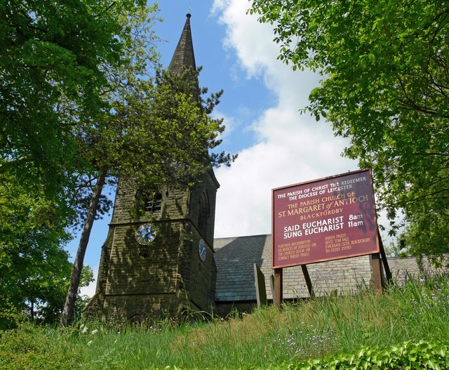
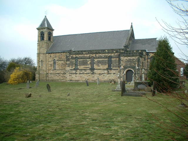
Church of St Margaret of Antioch, Blackfordby

The Church of St Margaret of Antioch is a church in Blackfordby, Leicestershire. It is a Grade II listed building. == History == === Exterior === The church...

Woodville railway station (England)

Woodville railway station is a former railway station on the Swadlincote Loop Line which served the village of Woodville, Derbyshire, England. == Opening... ==

St Stephen's Church, Woodville

St Stephen's Church, Woodville is a Grade II listed parish church in the Church of England: 361  in Woodville, Derbyshire. == History == The desire for...

Albert Village

Albert Village is a small post-industrial village in Leicestershire, England and is located approximately 1.5 miles (2.4 km) from the town of Swadlincote...

Woodville, Derbyshire

Woodville is a suburban village and civil parish that crosses two districts - South Derbyshire district of Derbyshire and North West Leicestershire district...

Moira railway station (England)

Moira railway station was a railway station at Moira, Leicestershire on the Leicester to Burton upon Trent Line. == History == The line was built for...

Nearby Amenities

Located within 500m of 52.754432,-1.5274001
Boothorpe
Place: hamlet
Source: OS_OpenData_StreetView
Lat/Long: 52.7545379/-1.5279477
Crossing: informal
Lat/Long: 52.7542608/-1.52663
Crossing: informal
Lat/Long: 52.754838/-1.5250178
Material: wood
Power: pole
Lat/Long: 52.7578909/-1.522918
Location Transition: yes
Power: pole
Lat/Long: 52.7571247/-1.5216869
Material: wood
Power: pole
Lat/Long: 52.7556881/-1.5204075
The data included in this document is from www.openstreetmap.org. The data is made available under ODbL.

Have you been to Boothorpe?

Leave your review of Boothorpe below (or comments, questions and feedback).