Hanging Hill
Hill, Mountain in Leicestershire North West Leicestershire
England
Hanging Hill
Hanging Hill is a prominent landmark located in Leicestershire, England. Although referred to as a hill, it is more accurately classified as a small mountain, rising to an elevation of 235 meters (771 feet) above sea level. The hill is situated near the village of Breedon on the Hill, within the National Forest.
Visible from miles around, Hanging Hill boasts a distinctive conical shape that makes it easily recognizable. The summit provides breathtaking panoramic views of the surrounding countryside, offering visitors an opportunity to take in the picturesque landscape. On a clear day, one can see as far as the Charnwood Forest and even the city of Leicester.
The hill is primarily composed of limestone, a characteristic feature of the region, which has contributed to the formation of several caves and underground systems in the area. These geological formations attract a significant number of spelunkers and cavers, who explore the network of caves beneath Hanging Hill.
In addition to its natural beauty, Hanging Hill holds archaeological significance. It is home to an Iron Age hillfort, believed to have been constructed around 600 BCE. The hillfort, encompassing approximately 6 hectares, served as a defensive structure during ancient times. Excavations have revealed artifacts such as pottery and tools, shedding light on the lives and activities of its early inhabitants.
Hanging Hill is a popular destination for outdoor enthusiasts, offering opportunities for hiking, walking, and picnicking. Its combination of scenic views, geological formations, and historical importance make it a unique and cherished location within Leicestershire.
If you have any feedback on the listing, please let us know in the comments section below.
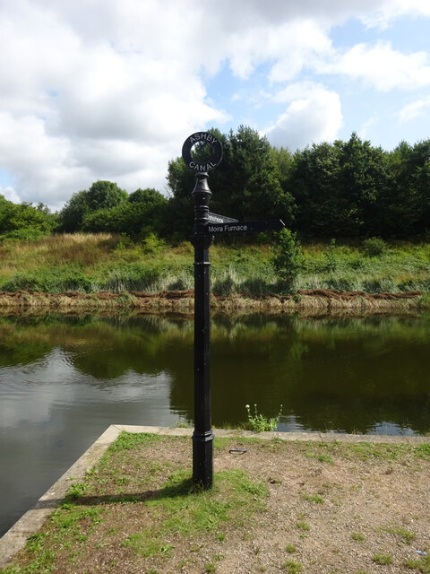
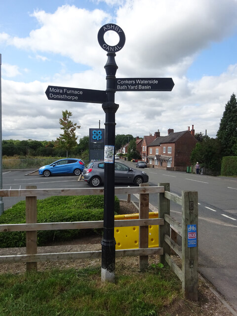
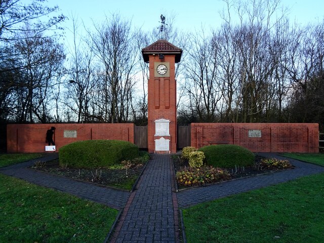
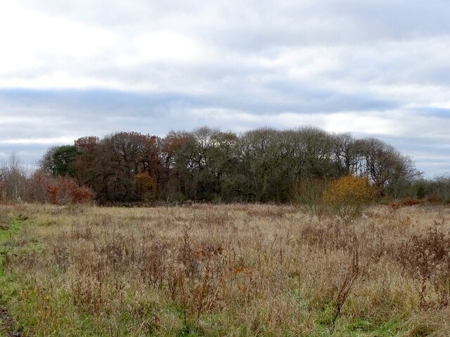
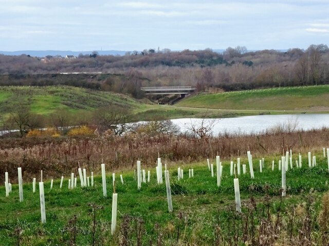
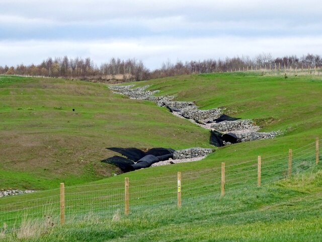
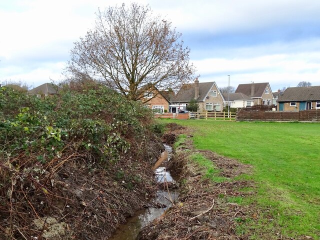
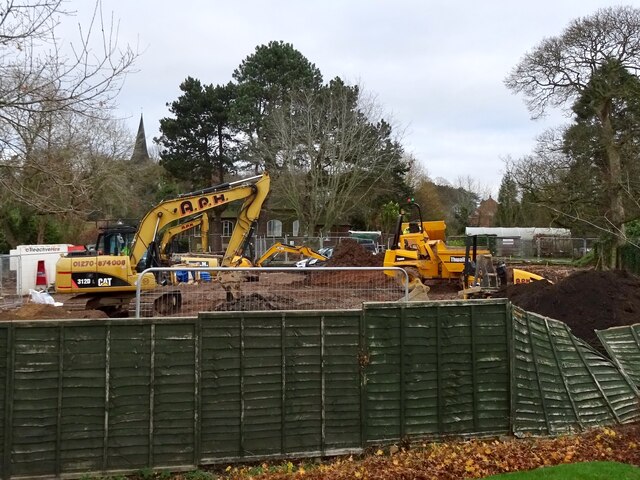
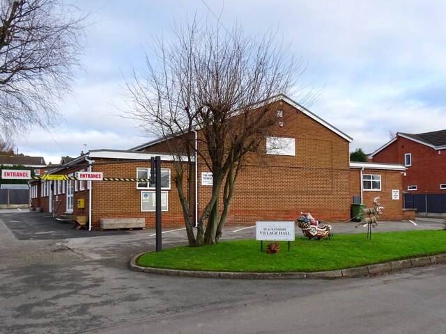
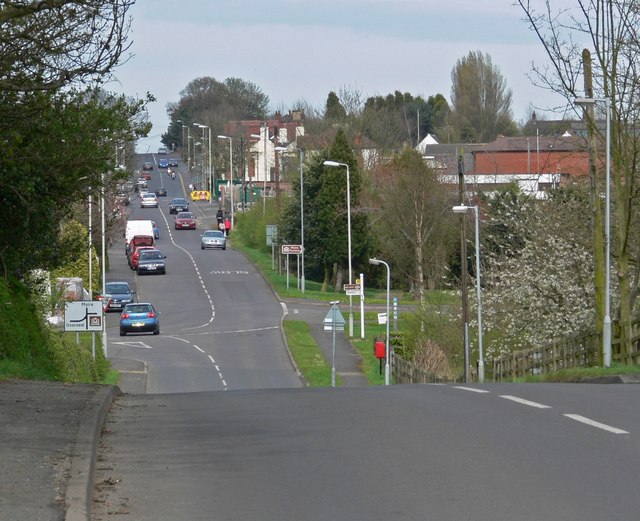
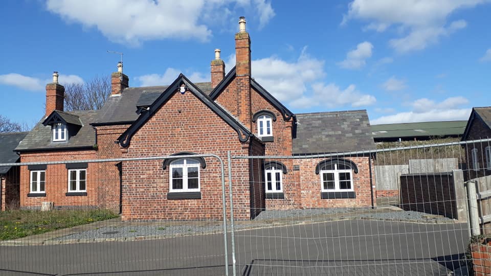
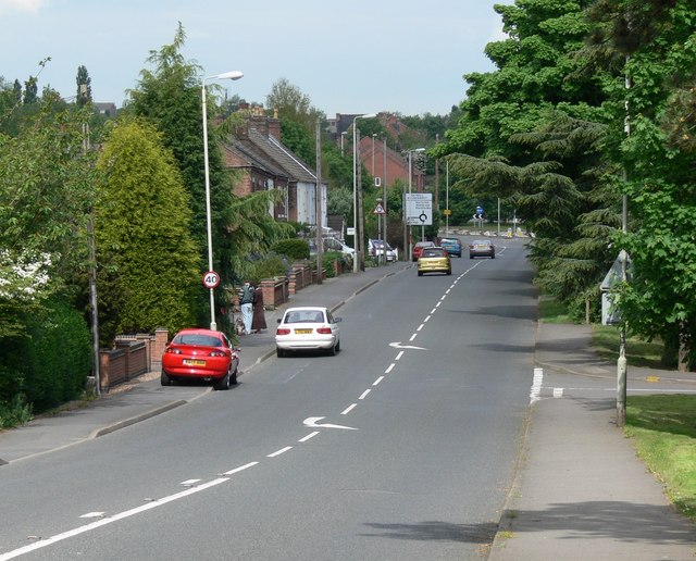
Hanging Hill Images
Images are sourced within 2km of 52.749832/-1.534961 or Grid Reference SK3117. Thanks to Geograph Open Source API. All images are credited.


Hanging Hill is located at Grid Ref: SK3117 (Lat: 52.749832, Lng: -1.534961)
Administrative County: Leicestershire
District: North West Leicestershire
Police Authority: Leicestershire
What 3 Words
///deck.solutions.removes. Near Moira, Leicestershire
Nearby Locations
Related Wikis
Ashby Woulds
Ashby Woulds is a civil parish in Leicestershire, England. The population (including Albert Village) at the 2011 census was 3,763. It is in the North...
Moira railway station (England)
Moira railway station was a railway station at Moira, Leicestershire on the Leicester to Burton upon Trent Line. == History == The line was built for...

Overseal and Moira railway station
Overseal and Moira railway station served the village of Overseal, Derbyshire, England, from 1873 to 1890 on the Ashby and Nuneaton Joint Railway. ��2...

Albert Village
Albert Village is a small post-industrial village in Leicestershire, England and is located approximately 1.5 miles (2.4 km) from the town of Swadlincote...
Moira, Leicestershire
Moira is a former mining village about 2.5 miles (4 km) south-west of Ashby-de-la-Zouch in North West Leicestershire, England. The village is about 3 miles...

Blackfordby
Blackfordby is a small village and former civil parish, now in the parish of Ashby-de-la-Zouch, in the North West Leicestershire district, in the northwesternmost...
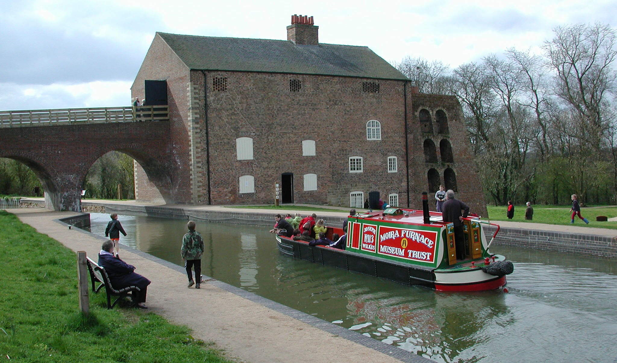
Moira Furnace
Moira Furnace is a nineteenth-century iron-making blast furnace located in Moira, Leicestershire, on the banks of the Ashby-de-la-Zouch Canal. Built by...
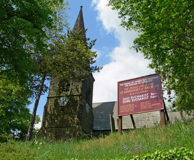
Church of St Margaret of Antioch, Blackfordby
The Church of St Margaret of Antioch is a church in Blackfordby, Leicestershire. It is a Grade II listed building. == History == === Exterior === The church...
Nearby Amenities
Located within 500m of 52.749832,-1.534961Have you been to Hanging Hill?
Leave your review of Hanging Hill below (or comments, questions and feedback).