Bonnyfield
Settlement in Stirlingshire
Scotland
Bonnyfield

Bonnyfield is a small village located in the county of Stirlingshire, Scotland. Situated approximately 5 miles east of the town of Falkirk, Bonnyfield enjoys a picturesque setting surrounded by lush green fields and rolling hills. The village is nestled along the A9 road, providing easy access to nearby towns and cities.
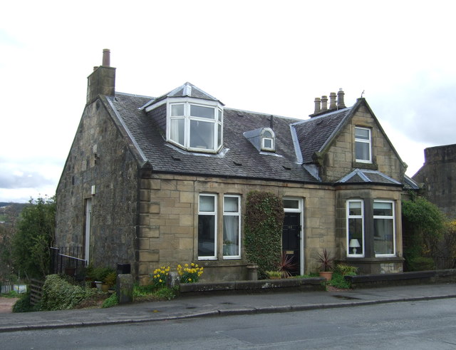
Despite its small size, Bonnyfield has a close-knit community that takes pride in its local heritage and traditions. The village is known for its charming stone cottages and well-maintained gardens, creating a welcoming and idyllic atmosphere for residents and visitors alike.
Bonnyfield offers a range of amenities to its residents, including a local primary school, a community center, and a village hall that hosts various social events throughout the year. The village also has a small convenience store, ensuring that basic necessities are readily available to its inhabitants.
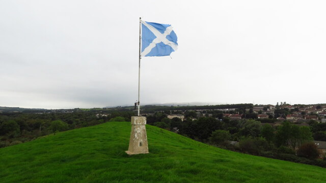
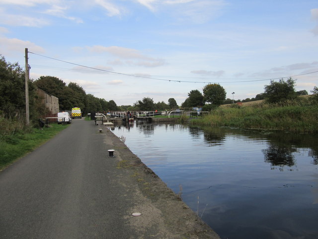
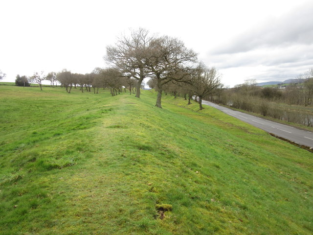
The surrounding countryside offers numerous opportunities for outdoor enthusiasts, with a network of walking and cycling trails to explore. Additionally, the nearby Antonine Wall, a UNESCO World Heritage Site, offers a glimpse into the area's rich history.
Transport links in Bonnyfield are convenient, with regular bus services connecting the village to Falkirk and other nearby towns. The village is also within easy reach of the M9 motorway, providing access to Glasgow and Edinburgh.
Overall, Bonnyfield is a charming village that offers a peaceful countryside setting while remaining well-connected to the amenities and attractions of the wider Stirlingshire area.
If you have any feedback on the listing, please let us know in the comments section below.
Bonnyfield Images
Images are sourced within 2km of 56.000694/-3.8971993 or Grid Reference NS8180. Thanks to Geograph Open Source API. All images are credited.


Bonnyfield is located at Grid Ref: NS8180 (Lat: 56.000694, Lng: -3.8971993)
Unitary Authority: Falkirk
Police Authority: Forth Valley
What 3 Words
///scans.desktop.showering. Near Bonnybridge, Falkirk
Nearby Locations
Related Wikis

Bonnybridge Central railway station
Bonnybridge Central railway station served the village of Bonnybridge, Falkirk, Scotland from 1888 to 1935 on the Kilsyth and Bonnybridge Railway. ��2...
Bonnybridge
Bonnybridge (Scottish Gaelic: Drochaid Bhunaich; Scots: Bonniebrig) is a village in the Falkirk council area of Scotland. It is 4.0 miles (6.4 km) west...
Bonnybridge railway station
Bonnybridge railway station was a railway station serving the village of Bonnybridge in central Scotland. The station was located on a short branch off...
Dennyloanhead
Dennyloanhead (Scottish Gaelic: Ceann Lòn an Daingneach) is a village in the Falkirk council area, Central Scotland, that is between Head of Muir and Longcroft...

Seabegs Wood
Seabegs Wood was the site of a Roman fortlet on the Antonine Wall in Scotland.At Seabegs, the outline of Antonine's Wall, has lasted. Archaeologists from...

Head of Muir
Head of Muir is a village located in the Falkirk council area, Central Scotland, between Denny and Dennyloanhead. Its local primary school is Head of Muir...
Greenhill, Falkirk
Greenhill is a village which lies in the Falkirk council area of Scotland. The village is located on the outskirts of Bonnybridge, 4.3 miles (6.9 km) west...

Greenhill Lower railway station
Greenhill Lower railway station served the village of Greenhill, Falkirk, Scotland from 1848 to 1966 on the Scottish Central Railway. == History == The...
Nearby Amenities
Located within 500m of 56.000694,-3.8971993Have you been to Bonnyfield?
Leave your review of Bonnyfield below (or comments, questions and feedback).