Blakelow
Settlement in Staffordshire Staffordshire Moorlands
England
Blakelow
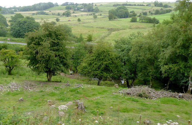
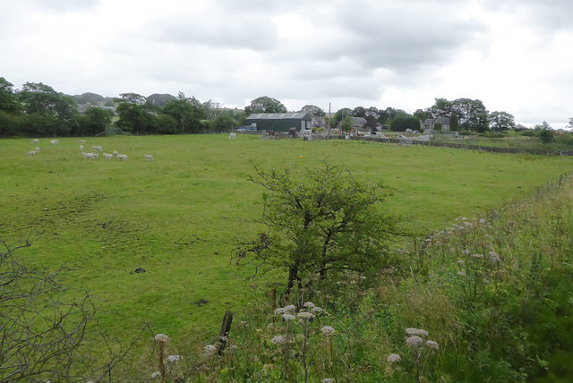
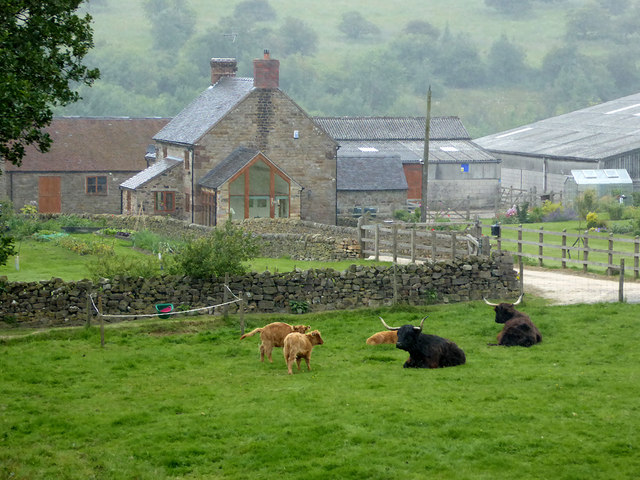
Blakelow is a small village located in the county of Staffordshire, England. It is situated near the market town of Ashbourne and is surrounded by picturesque countryside, offering stunning views and a tranquil atmosphere. Blakelow is part of the Staffordshire Moorlands district and falls within the East Staffordshire parliamentary constituency.
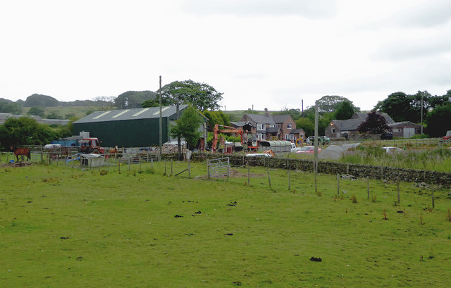
The village itself is characterized by its charming, traditional cottages and historic buildings, which add to its nostalgic appeal. Blakelow is known for its tight-knit community, with friendly locals who take pride in their village and its heritage.
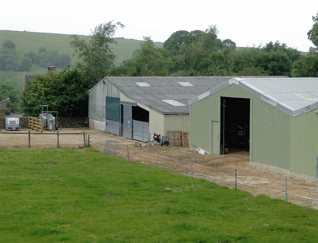
Despite its small size, Blakelow boasts a range of amenities for its residents. These include a local shop, a post office, a primary school, and a village hall, which serves as a hub for various community events and activities. The village also has a pub, providing a cozy gathering place for locals and visitors alike.
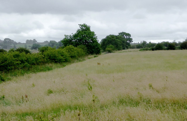
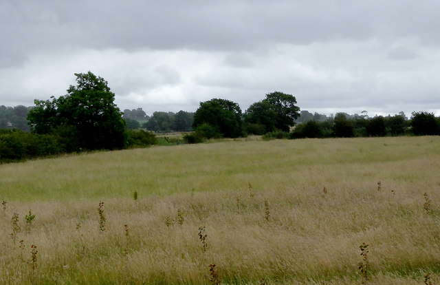
Blakelow offers a range of recreational opportunities for outdoor enthusiasts. The surrounding area is ideal for hiking, cycling, and horse riding, with numerous trails and paths that showcase the natural beauty of Staffordshire. Additionally, the nearby Peak District National Park is within easy reach, offering further opportunities for exploration and adventure.
Overall, Blakelow is a charming village that offers a peaceful and idyllic setting for its residents. Its strong sense of community, historic buildings, and beautiful surroundings make it a desirable place to live or visit for those seeking a rural escape in Staffordshire.
If you have any feedback on the listing, please let us know in the comments section below.
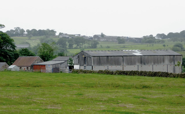
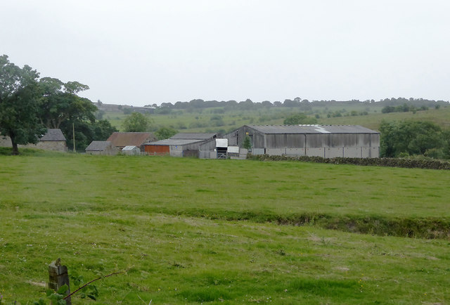
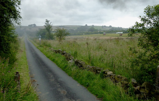
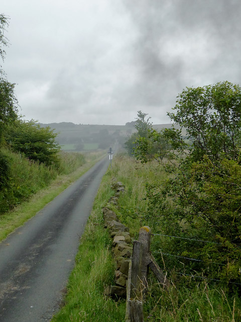
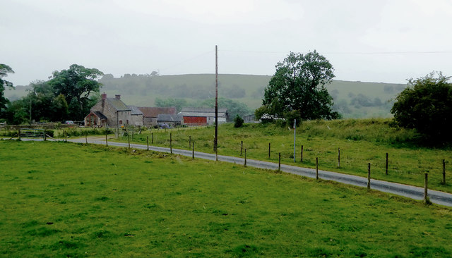
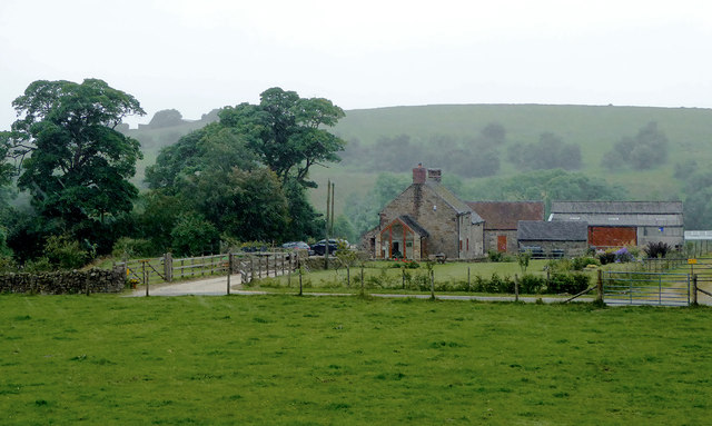
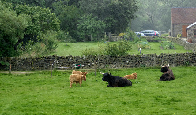
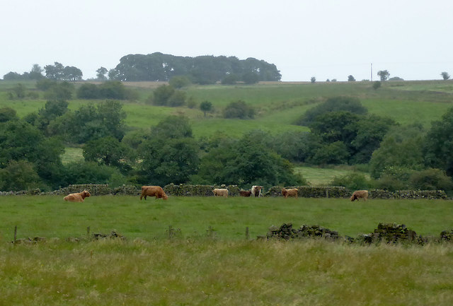
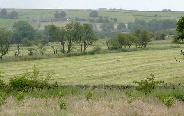
Blakelow Images
Images are sourced within 2km of 53.065674/-1.9545782 or Grid Reference SK0352. Thanks to Geograph Open Source API. All images are credited.
Blakelow is located at Grid Ref: SK0352 (Lat: 53.065674, Lng: -1.9545782)
Administrative County: Staffordshire
District: Staffordshire Moorlands
Police Authority: Staffordshire
What 3 Words
///birdcage.skewed.timeless. Near Cheddleton, Staffordshire
Nearby Locations
Related Wikis

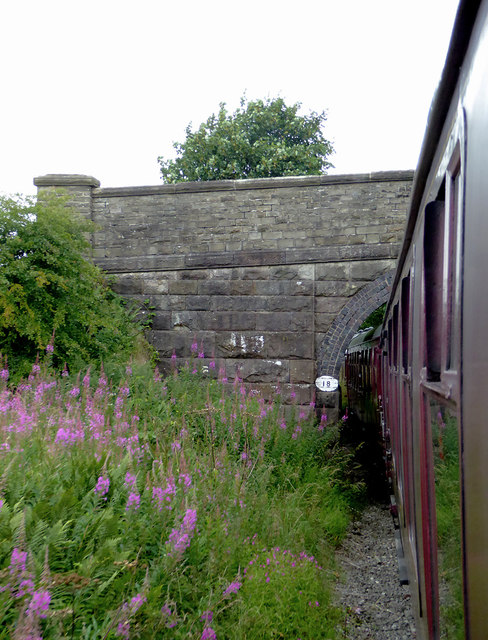
Ipstones railway station
Ipstones railway station was a railway station that served the village of Ipstones, Staffordshire. It was opened by the North Staffordshire Railway (NSR...

Staffordshire Moorlands (UK Parliament constituency)
Staffordshire Moorlands is a constituency represented in the House of Commons of the UK Parliament since 2010 by Karen Bradley, a Conservative who served...

Ipstones
Ipstones is a village and civil parish in the north of the English county of Staffordshire. Ipstones is part of the Staffordshire Moorlands district; within...

Peak Wildlife Park
Peak Wildlife Park is a zoo in central England. The nearest towns are Leek, Ashbourne and Stoke-on-Trent. The zoo was originally known as Blackbrook Zoological...
Related Videos
Misty Snow Forest Walk, English Countryside 4K
https://www.buymeacoffee.com/Daveswalks All support is hugely appreciated and it helps me keep the channel going! No talking ...

Misty Moorlands Snow Walk, English Countryside 4K
https://www.buymeacoffee.com/Daveswalks All support is hugely appreciated and it helps me keep the channel going! No talking ...

Peak wildlife Park Leek Staffordshire walking and visiting the animals
Peak Wildlife Park is a zoo in central England. The nearest towns are Leek, Ashbourne and Stoke-on-Trent. The zoo was ...

Walking With Animals at Peak Wildlife Park
Are penguins monogamous? What even is a Patagonian Mara? What's the weather like in Vietnam? Answers to all these ...
Nearby Amenities
Located within 500m of 53.065674,-1.9545782Have you been to Blakelow?
Leave your review of Blakelow below (or comments, questions and feedback).