Blairmore
Settlement in Sutherland
Scotland
Blairmore
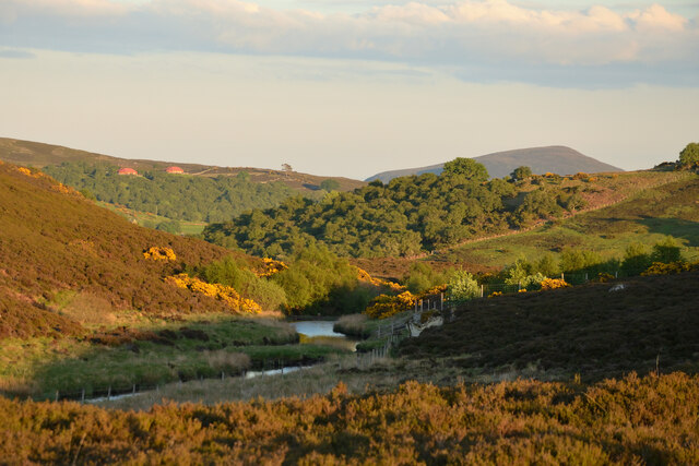
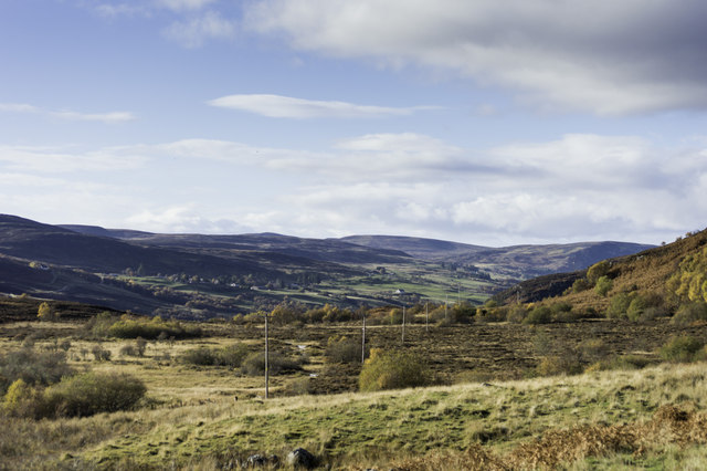
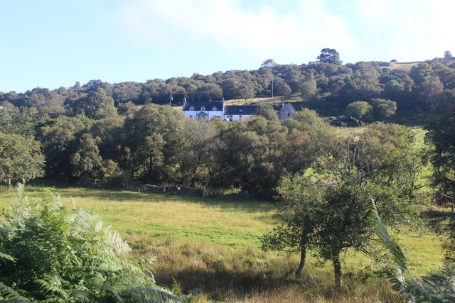
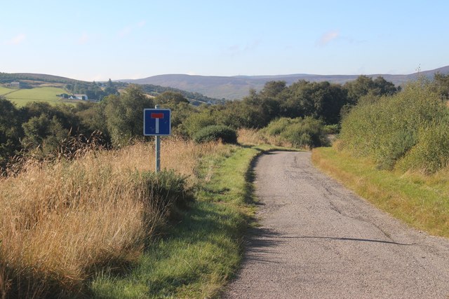
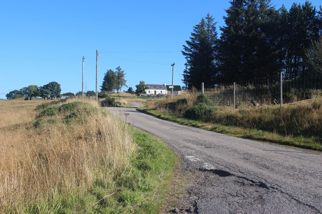
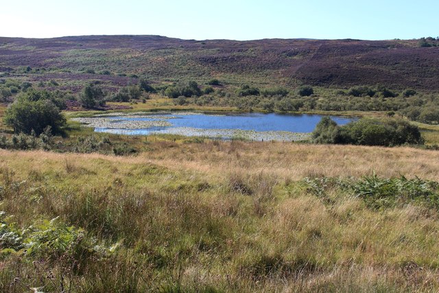
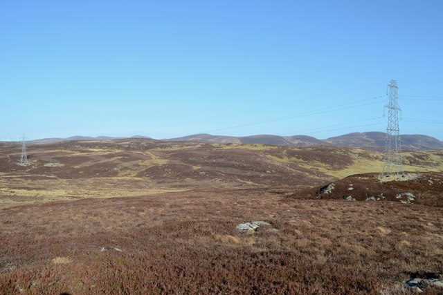
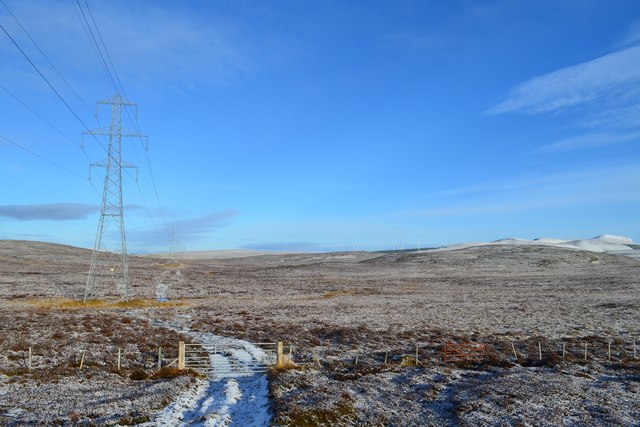
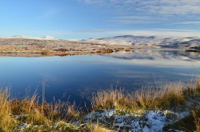
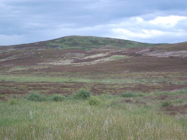
Blairmore is a small village located in the county of Sutherland, in the Highland region of Scotland. It lies on the eastern shore of Loch Inchard, a sea loch that stretches into the North Atlantic Ocean. The village is situated at the foot of the striking Ben Stack mountain, providing a picturesque backdrop to the area.
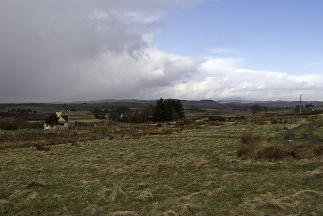
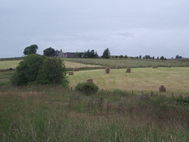
With a population of around 200 people, Blairmore is a close-knit community that retains a peaceful and rural atmosphere. The village is well-known for its stunning natural beauty, attracting visitors who appreciate the tranquility and scenic landscapes that surround it.
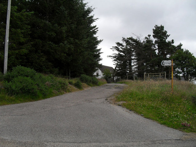
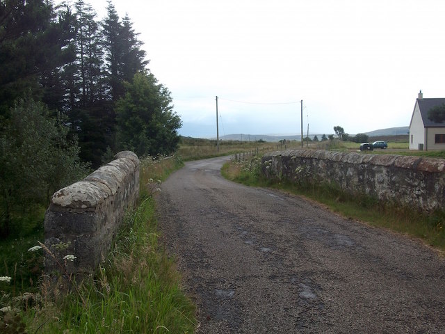
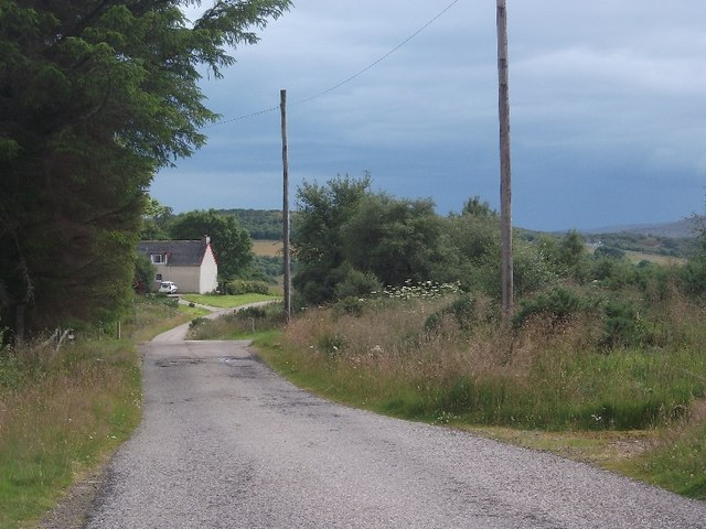
Blairmore offers several amenities to its residents and visitors, including a local village hall, a post office, and a small shop that caters to basic needs. The village is also home to a primary school, ensuring educational facilities for the local children.
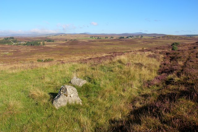
The area surrounding Blairmore is a haven for outdoor enthusiasts, with numerous opportunities for activities such as hiking, fishing, and birdwatching. The nearby Ben Stack provides a challenging climb for experienced hikers, rewarding them with breathtaking panoramic views from its summit.
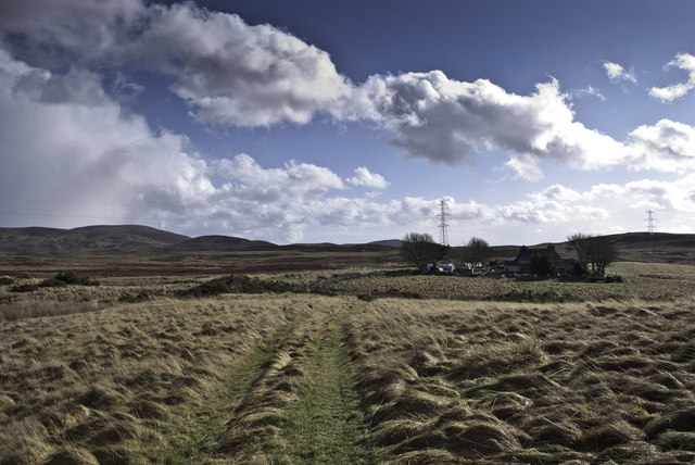
Historically, Blairmore has been an important fishing community, with the village's location on Loch Inchard providing access to a variety of fish species. Although fishing remains a part of the local economy, the village has also embraced tourism as a significant source of income.
Overall, Blairmore is a charming village that offers a peaceful retreat amidst the stunning natural landscapes of Sutherland. With its friendly residents, abundant outdoor activities, and captivating scenery, Blairmore is a hidden gem for those seeking a tranquil escape in the Scottish Highlands.
If you have any feedback on the listing, please let us know in the comments section below.
Blairmore Images
Images are sourced within 2km of 58.007954/-4.1327354 or Grid Reference NC7404. Thanks to Geograph Open Source API. All images are credited.
Blairmore is located at Grid Ref: NC7404 (Lat: 58.007954, Lng: -4.1327354)
Unitary Authority: Highland
Police Authority: Highlands and Islands
What 3 Words
///putts.badge.forge. Near Golspie, Highland
Nearby Locations
Related Wikis

Rogart
Rogart ( ROH-gart, Scottish Gaelic: Sgìre Raoird or Raoghard, meaning "great enclosed field") is a small village in Sutherland, Highland, Scotland. The...

East Langwell
East Langwell is a small, remote crofting settlement in Rogart, Sutherland, Scottish Highlands and is in the Scottish council area of Highland.West Langwell...
Pittentrail
Pittentrail (Scottish Gaelic: Bad an Tràill or Baile an Tràill) is a hamlet on the A839 road, in the Rogart parish in east Sutherland, in the Scottish...

Rogart railway station
Rogart railway station is a railway station serving the villages of Rogart and Pittentrail, in the Highland council area of Scotland and home to Fraser...
Battle of Alltan-Beath
The Battle of Alltan-Beath, also known as the Battle of Ailtan-Beath, was a Scottish clan battle said to have taken place in 1542 in the village of Knockarthur...
Battle of Torran Dubh
The Battle of Torran Dubh also known as the Battle of Torran-dow or the Battle of Torran Du was a Scottish clan battle that was fought in 1517 in Sutherland...
Dalreavoch
Dalreavoch (Scottish Gaelic: An Dail Riabhach) is a small crofting hamlet in Rogart in Sutherland, Scottish Highlands and is in the Scottish council...

Torboll
Torboll is a former feudal barony and geographical area that includes Torboll Farm, Little Torboll, Torboll Fall, and the Torboll Woods Site of Special...
Nearby Amenities
Located within 500m of 58.007954,-4.1327354Have you been to Blairmore?
Leave your review of Blairmore below (or comments, questions and feedback).