Blackheath
Settlement in Suffolk East Suffolk
England
Blackheath

Blackheath is a picturesque village located in the county of Suffolk, England. Situated approximately 12 miles north of the county town of Ipswich, this rural settlement is nestled amidst beautiful countryside and offers a peaceful and idyllic setting for its residents and visitors alike.
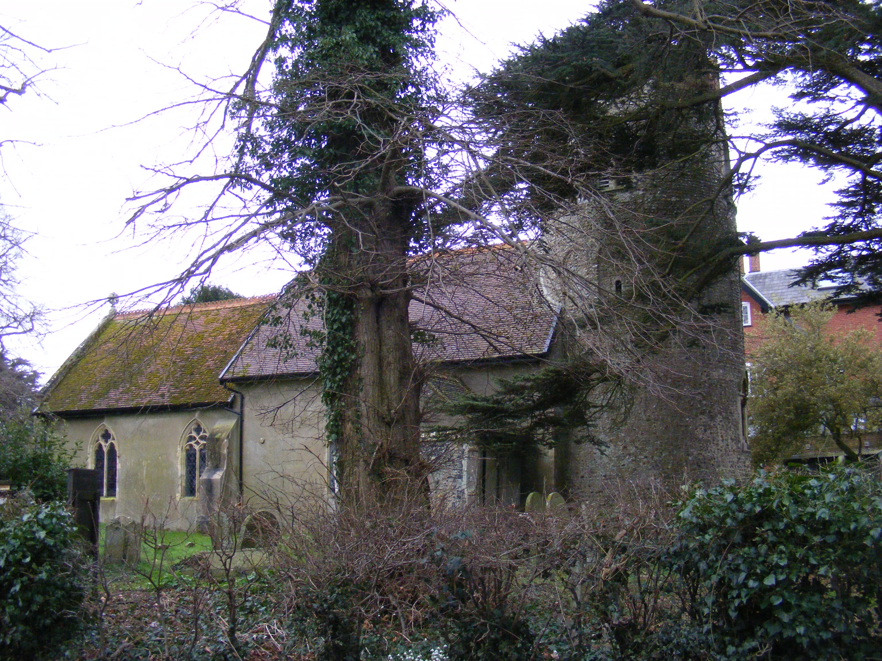
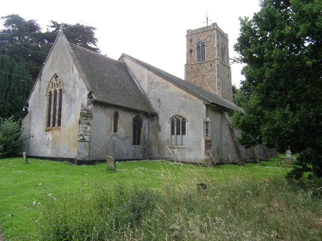
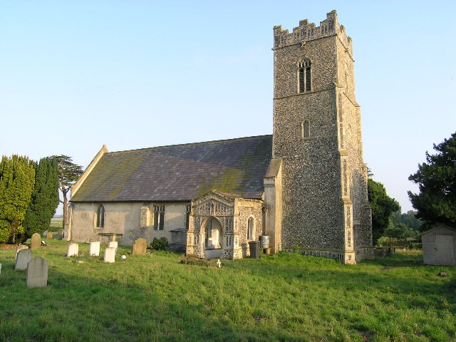
The village is characterized by its charming and well-preserved historic buildings, including a 12th-century church, St. Mary's, which stands as a testament to Blackheath's rich heritage. The church features stunning architectural details and serves as a focal point for the community.
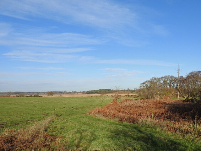
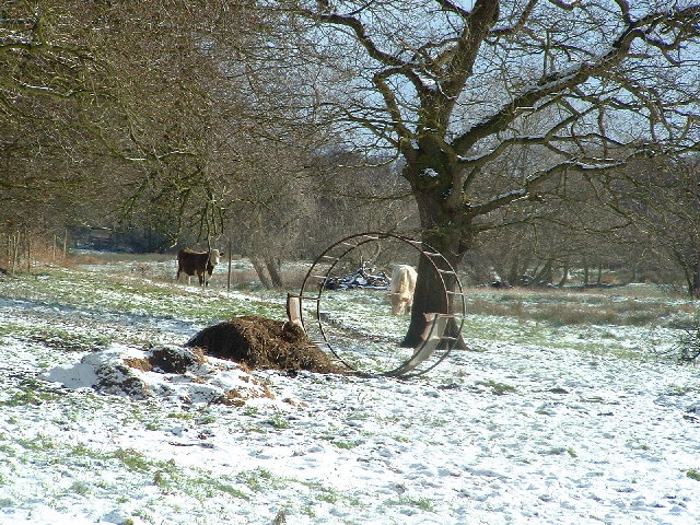
Surrounded by rolling fields, Blackheath boasts a thriving agricultural industry, with many residents involved in farming and related activities. The village's economy also benefits from tourism, as visitors flock to enjoy the serene countryside, embark on scenic walks, or explore the nearby attractions.
Nature lovers will find themselves in paradise, as Blackheath is within close proximity to several nature reserves and parks. The nearby Waterworks Nature Reserve is a popular spot for birdwatching, while the picturesque River Gipping offers opportunities for fishing and boating.
Despite its rural setting, Blackheath benefits from good transport links, with major roads connecting it to nearby towns and cities. The village also has a strong sense of community, with various local events and activities organized throughout the year, bringing residents together.
In summary, Blackheath in Suffolk is a charming and historic village that offers a peaceful lifestyle amidst stunning countryside. With its rich heritage, thriving agricultural industry, and close proximity to nature reserves, it is a haven for those seeking a tranquil escape from the bustling city life.
If you have any feedback on the listing, please let us know in the comments section below.
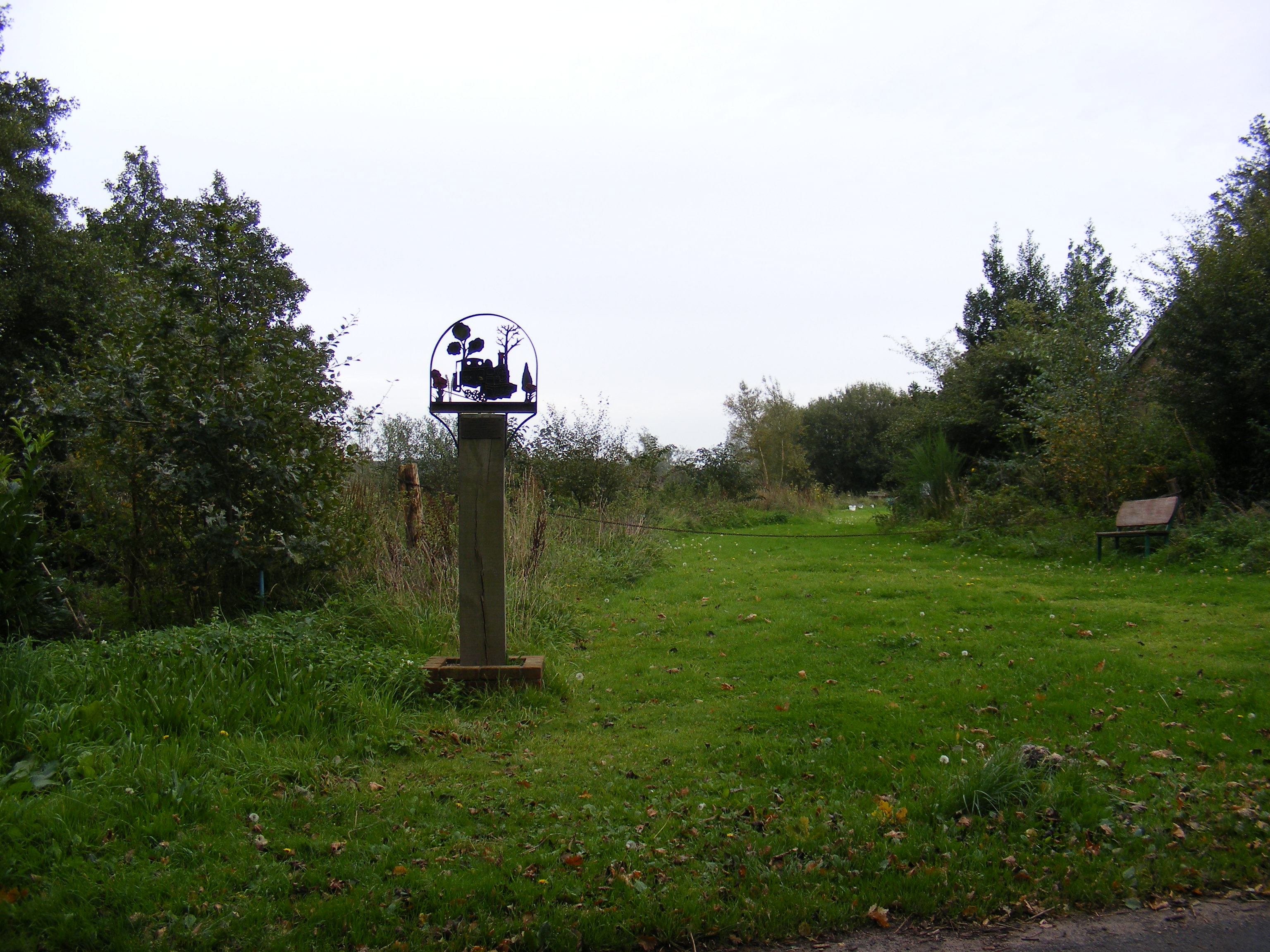
Blackheath Images
Images are sourced within 2km of 52.317679/1.5565669 or Grid Reference TM4274. Thanks to Geograph Open Source API. All images are credited.


Blackheath is located at Grid Ref: TM4274 (Lat: 52.317679, Lng: 1.5565669)
Administrative County: Suffolk
District: East Suffolk
Police Authority: Suffolk
What 3 Words
///slimmer.rules.pulsing. Near Halesworth, Suffolk
Nearby Locations
Related Wikis
Thorington
Thorington is a village and a civil parish in the hundred of Blything, in the East Suffolk district of the English county of Suffolk. It is located around...
Wenhaston
Wenhaston is a village situated to the south of the River Blyth in northeastern Suffolk, England. In 2018 it had an estimated population of 563. ��2�...
Church Farm Marshes
Church Farm Marshes is a 56 hectare nature reserve in Thorington in Suffolk. It is managed by the Suffolk Wildlife Trust.This site has areas of marshland...
Wenhaston railway station
Wenhaston railway station was in Wenhaston, Suffolk. It closed in 1929, 50 years after it had opened for passenger traffic. The Southwold Railway Trust...
Wenhaston with Mells Hamlet
Wenhaston with Mells Hamlet is a civil parish in the East Suffolk district, in the county of Suffolk, England. The population at the 2011 Census was 801...
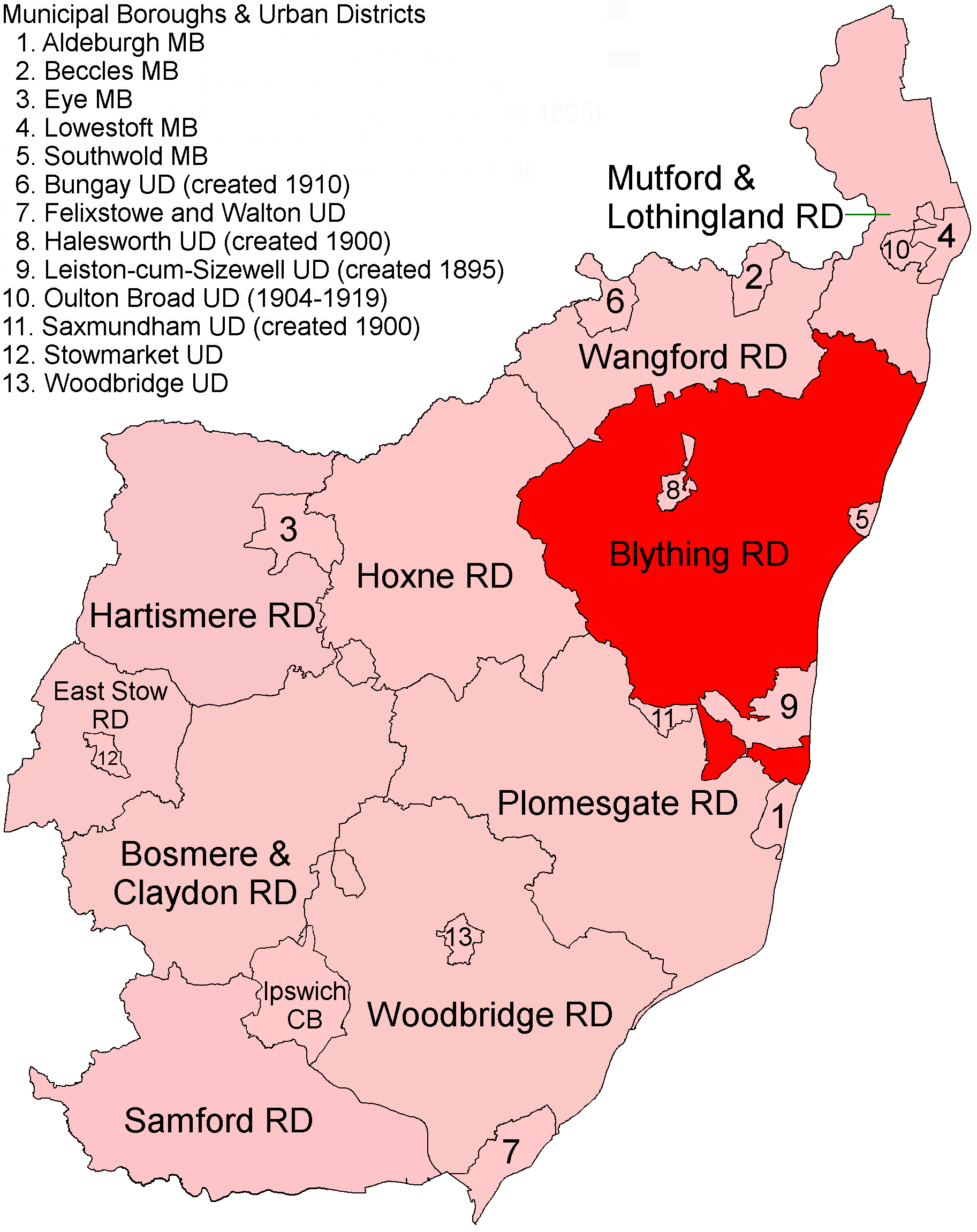
Blything Rural District
Blything Rural District was a rural district within the administrative county of East Suffolk between 1894 and 1934. == Evolution == The district had its...
Blyford
Blyford (formerly known as Blythford) is a village and civil parish in the East Suffolk district of Suffolk, England, about 3 miles (5 km) east of Halesworth...

Holy Trinity Church, Blythburgh
The Holy Trinity Church is the parish church of the village of Blythburgh in the East Suffolk district, in the county of Suffolk, England. It is part of...
Nearby Amenities
Located within 500m of 52.317679,1.5565669Have you been to Blackheath?
Leave your review of Blackheath below (or comments, questions and feedback).