Black Friars
Settlement in Leicestershire
England
Black Friars
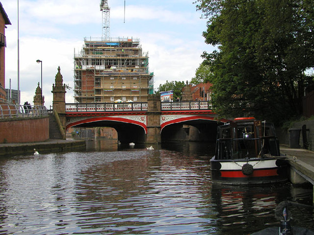
Black Friars is a historic area located in Leicestershire, England. Situated in the heart of the city of Leicester, it holds significant historical and cultural importance. The name "Black Friars" refers to the Dominican Friars, who were known for wearing black robes during the medieval period.
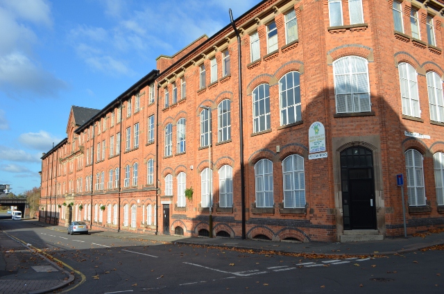
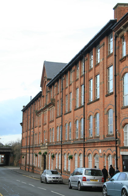
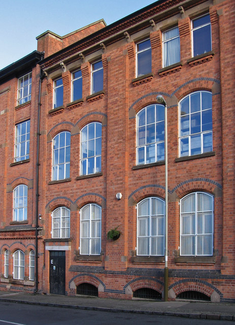
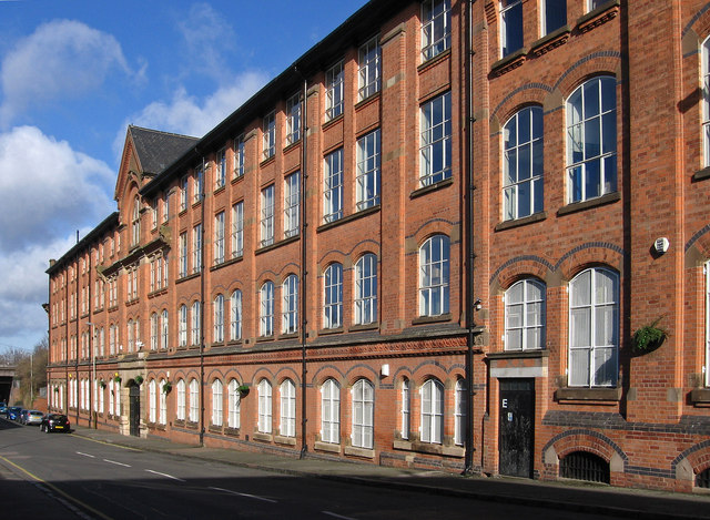
The area is renowned for its stunning architecture and rich heritage. It is home to several notable buildings, including the Black Friars building, which was constructed in the late 19th century and served as a Dominican Priory. This beautiful structure features intricate detailing and stands as a testament to the area's religious past.
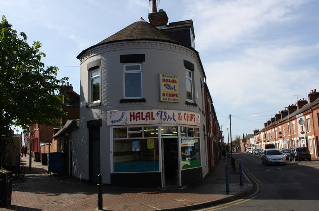
Black Friars is also known for its vibrant cultural scene. The area hosts various events throughout the year, including art exhibitions, music festivals, and theater performances. The streets are often bustling with locals and tourists, enjoying the lively atmosphere and exploring the surrounding shops, cafes, and restaurants.
In addition to its cultural significance, Black Friars is a hub for education and learning. It is home to several educational institutions, including the University of Leicester, which attracts students from all over the world.
Overall, Black Friars is a captivating place that seamlessly blends history, culture, and community. Its stunning architecture, vibrant events, and educational institutions make it a must-visit destination for anyone exploring Leicestershire.
If you have any feedback on the listing, please let us know in the comments section below.
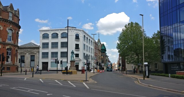
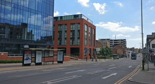
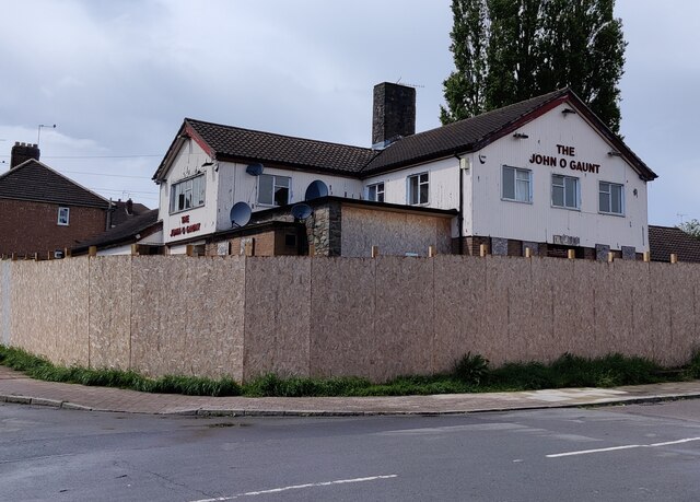
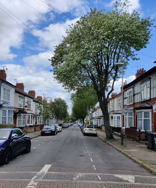
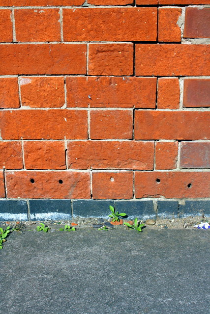
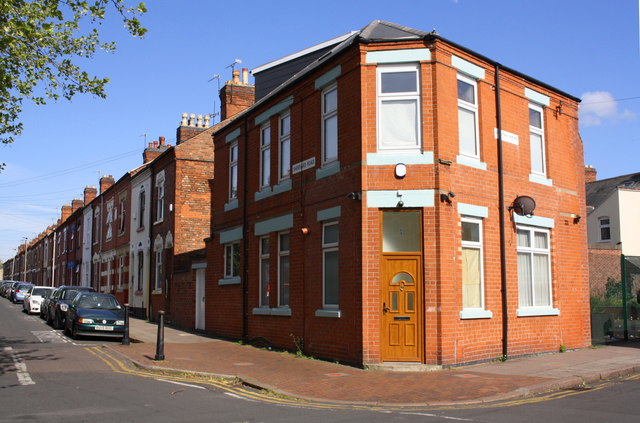
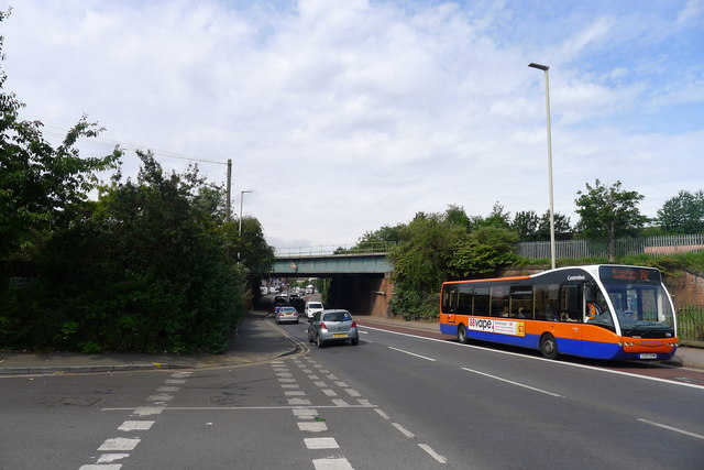
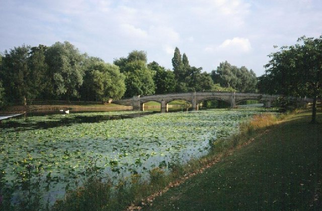
Black Friars Images
Images are sourced within 2km of 52.637825/-1.1426296 or Grid Reference SK5804. Thanks to Geograph Open Source API. All images are credited.
Black Friars is located at Grid Ref: SK5804 (Lat: 52.637825, Lng: -1.1426296)
Unitary Authority: Leicester
Police Authority: Leicestershire
What 3 Words
///brick.blunt.narrow. Near Leicester, Leicestershire
Nearby Locations
Related Wikis

Leicester Central railway station
Leicester Central was a railway station in Leicester, England. It was situated to the west of the city centre, on Great Central Street which is today just...

Blackfriars, Leicester
Blackfriars Leicester is a former Dominican Friary in Leicester, England. == History == The friary was founded in 1284 by the Earl of Leicester, and was...

All Saints Church, Leicester
All Saints' Church is a redundant Anglican church in High Cross Street, Leicester, England. It is recorded in the National Heritage List for England as...

St Nicholas Church, Leicester
St Nicholas Church is a Church of England parish church, and the oldest place of worship in Leicester, England. == Location == It is situated next to the...
Leicester Vaughan College
Leicester Vaughan College (LVC) is an independent higher education college in Leicester, England. It is the successor to Vaughan College, originally founded...
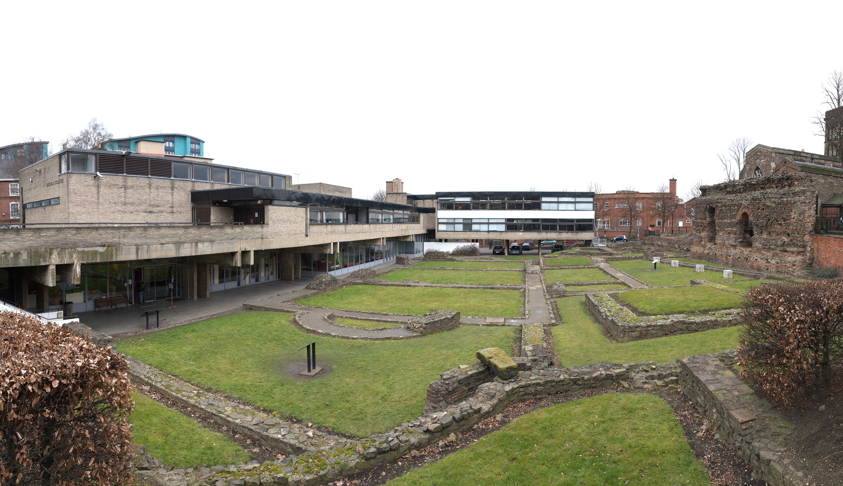
Jewry Wall Museum
The Jewry Wall Museum is a museum in Leicester in the East Midlands of England. It was built in the 1960s, facing the Jewry Wall ruins in a building shared...

Jewry Wall
The Jewry Wall is a substantial ruined wall of 2nd-century Roman masonry, with two large archways, in Leicester, England. It stands alongside St Nicholas...
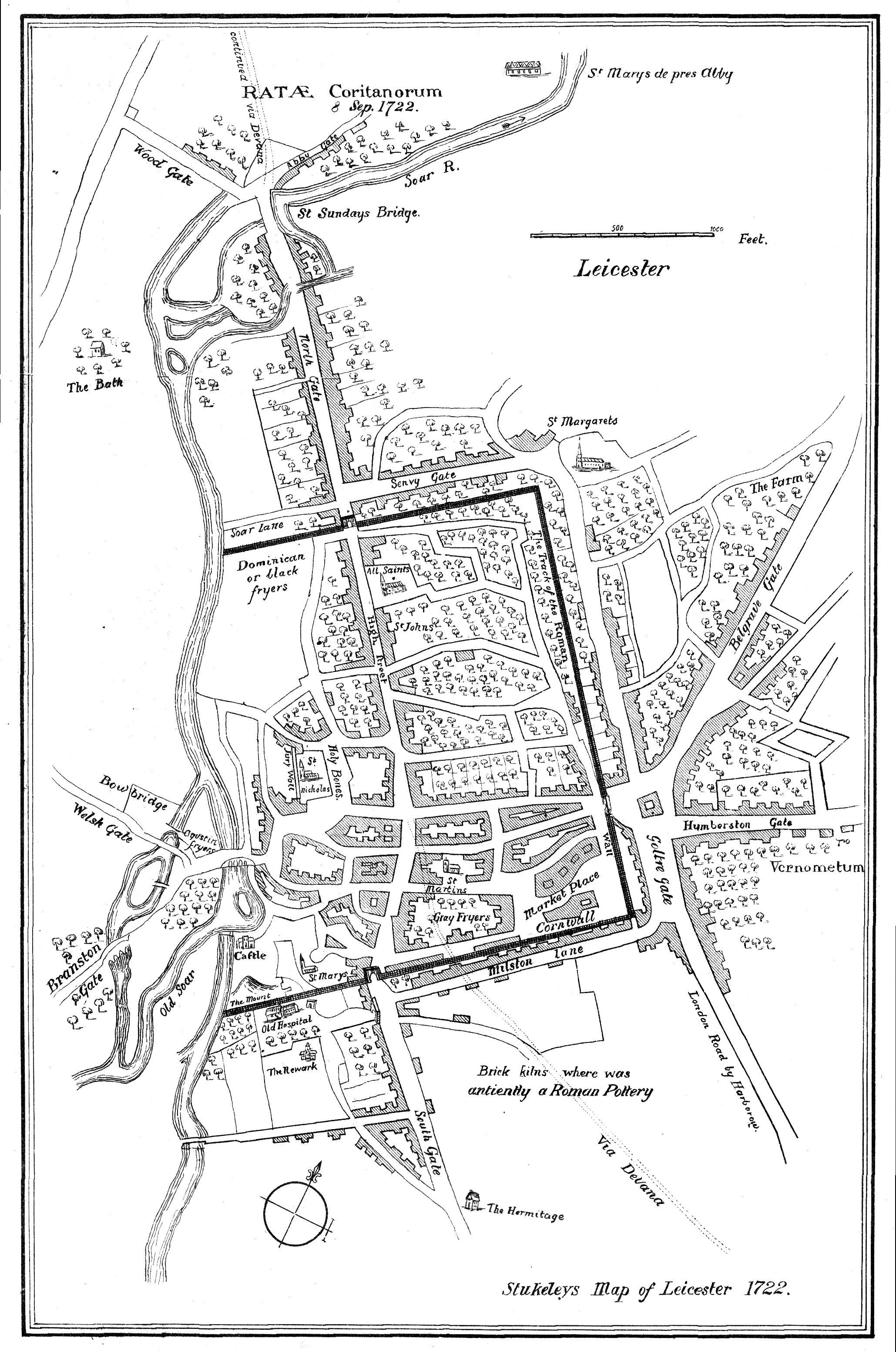
Ratae Corieltauvorum
Ratae Corieltauvorum or simply Ratae was a town in the Roman province of Britannia. Today it is known as Leicester, located in the English county of Leicestershire...
Nearby Amenities
Located within 500m of 52.637825,-1.1426296Have you been to Black Friars?
Leave your review of Black Friars below (or comments, questions and feedback).