Birkenhead Street

Settlement in Cardiganshire

Wales

Birkenhead Street

Tal-y-Bont Cemetery On a hillside on the northern side of the village. The brown expanse in the distance is Cors Fochno
Tal-y-Bont Cemetery Credit: Eirian Evans

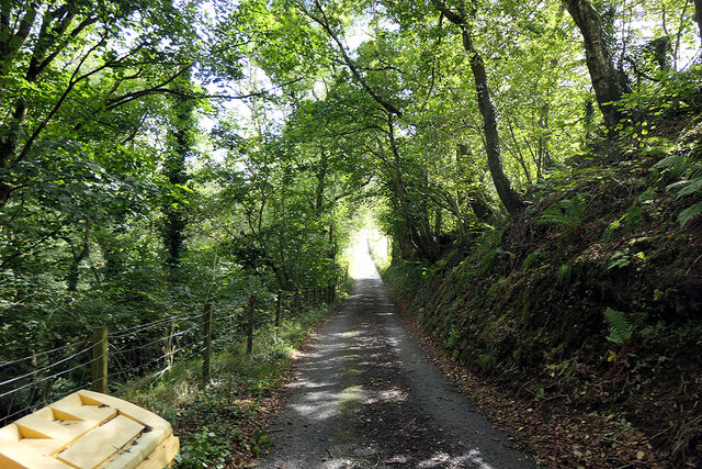
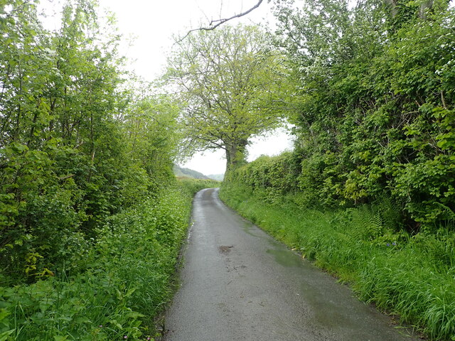
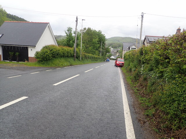
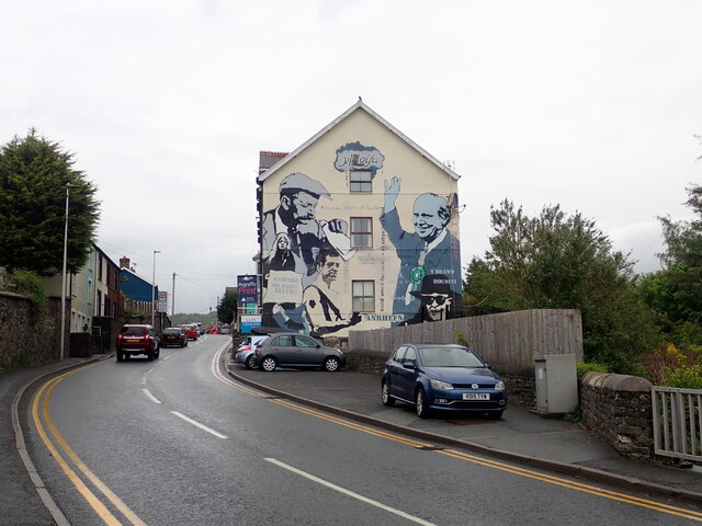
Birkenhead Street is a charming, narrow street located in the picturesque town of Cardiganshire in Wales. Nestled among the rolling hills and stunning landscapes, this street exudes a quaint and traditional atmosphere that reflects the rich history of the region.

Lined with rows of well-preserved, colorful terraced houses, Birkenhead Street captures the essence of a bygone era. The architecture of these houses, predominantly Georgian and Victorian, adds to the street's unique character. The facades showcase intricate details such as ornate doorways, sash windows, and quaint bay windows adorned with flower boxes.

The street is adorned with beautiful greenery, with small flower beds and potted plants lining the sidewalks. The friendly atmosphere is further enhanced by the presence of small local shops and boutiques, which offer a range of goods including handmade crafts, local produce, and traditional Welsh delicacies.

Birkenhead Street serves as a hub for the local community, hosting various events and festivals throughout the year. The street is often bustling with activity, as residents and visitors alike gather to enjoy street performances, live music, and cultural exhibitions. The warm and welcoming nature of the locals contributes to the street's vibrant and lively ambiance.

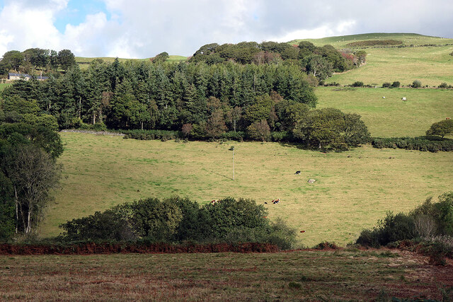
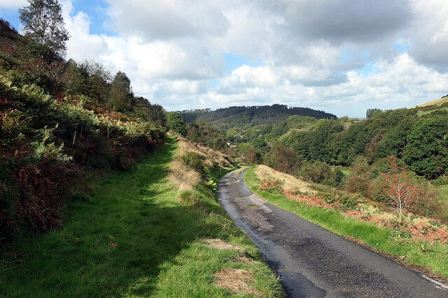
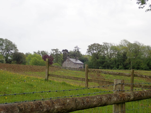
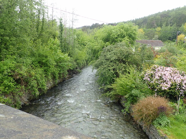
Cardiganshire, where Birkenhead Street is located, is known for its breathtaking natural beauty. The street itself provides easy access to nearby attractions such as scenic hiking trails, picturesque beaches, and historical landmarks. With its tranquil setting and charming atmosphere, Birkenhead Street is the perfect place to immerse oneself in the authentic Welsh culture and experience the true essence of the region.

If you have any feedback on the listing, please let us know in the comments section below.

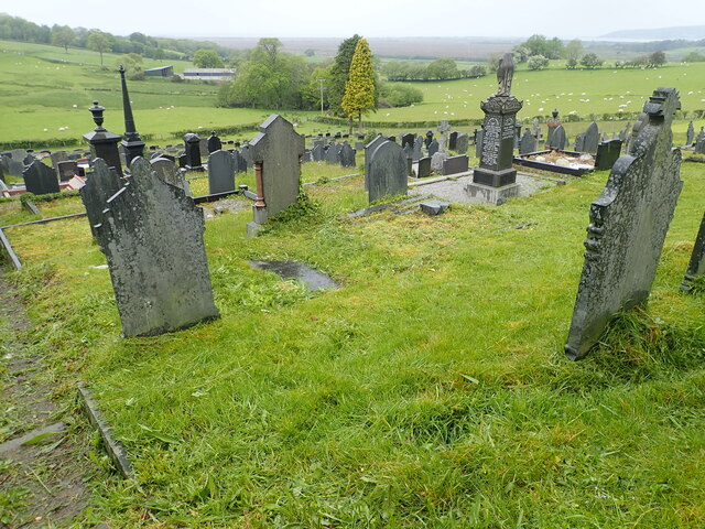
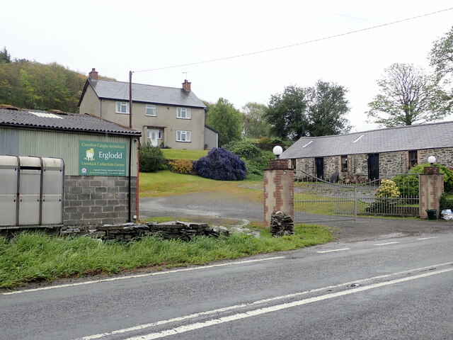
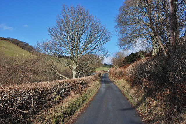
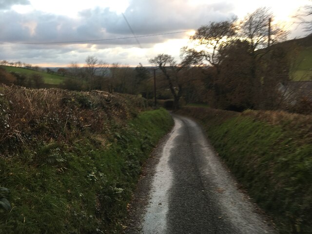
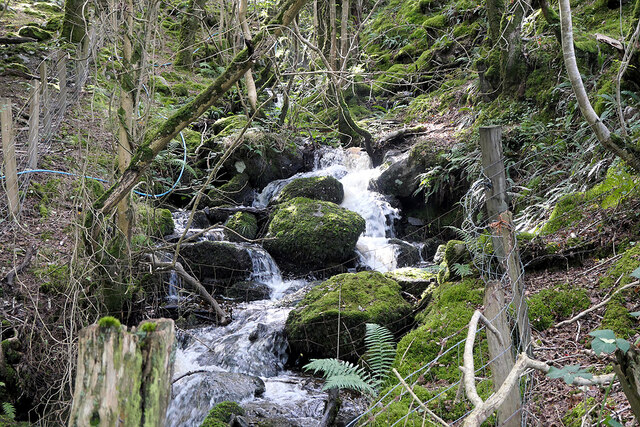
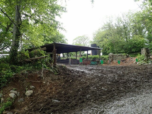
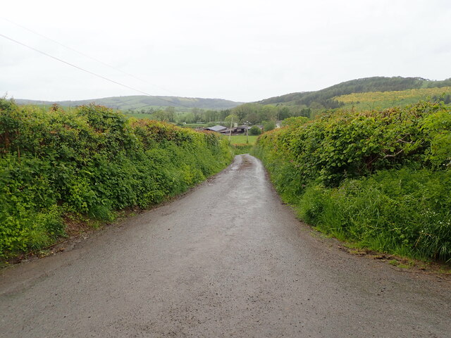
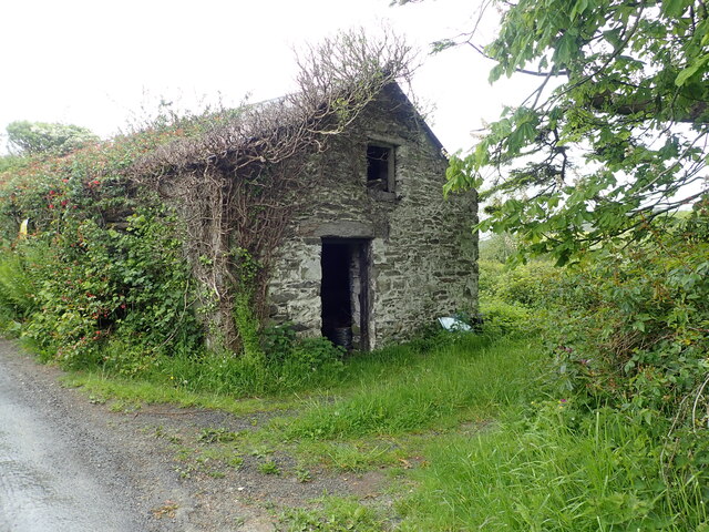
Birkenhead Street Images

Images are sourced within 2km of 52.486184/-3.9823765 or Grid Reference SN6589. Thanks to Geograph Open Source API. All images are credited.

Tal-y-Bont Cemetery On a hillside on the northern side of the village. The brown expanse in the distance is Cors Fochno
Tal-y-Bont Cemetery
On a hillside on the northern side of the village. The brown expanse in the distance is Cors Fochno
Erglodd farm
Erglodd farm
Lane climbing up Cwm Slaid The old coach road, seen climbing away north from Talybont.
Lane climbing up Cwm Slaid
The old coach road, seen climbing away north from Talybont.
Minor road towards Tal-y-Bont
Minor road leading to Bwlch Garw Also forms part of the Borth to Devil's Bridge Trail.
Minor road leading to Bwlch Garw
Also forms part of the Borth to Devil's Bridge Trail.
Pasture in Cwm Leri Viewed across Afon Leri which is hidden in the valley.
Pasture in Cwm Leri
Viewed across Afon Leri which is hidden in the valley.
Afon Leri Viewed from Pont Talybont.
Afon Leri
Viewed from Pont Talybont.
Parting of the ways on Braich Garw The metalled road leads down to Talybont and also forms part of the Borth to Devil's Bridge Trail. To the left is a right of way leading to Caer Lletty-llwyd. This area is access land.
Parting of the ways on Braich Garw
The metalled road leads down to Talybont and also forms part of the Borth to Devil's Bridge Trail. To the left is a right of way leading to Caer Lletty-llwyd. This area is access land.
Nant y Gwyddyl flowing down to Afon Leri
Barn at Maes-y-Dogn
Barn at Maes-y-Dogn
Maesnewydd Farm
Maesnewydd Farm
Outbuilding at Efail Fach, Llandre Planning permission sought to change this into a dwelling.
Outbuilding at Efail Fach, Llandre
Planning permission sought to change this into a dwelling.
Minor road from Penrhyn Coch to Tal-y-Bont
Llety Llwyd In the woodland behind this house there is the site of a hillfort
Llety Llwyd
In the woodland behind this house there is the site of a hillfort
The A487 on the southern side of Tal-y-Bont
Afon Leri River Heading towards the Dovey estuary at Traeth Maelgwyn
Afon Leri River
Heading towards the Dovey estuary at Traeth Maelgwyn
Y Lolfa, Tal-y-Bont HQ of the Welsh  printing and publishing company. Founded in 1967 by Robat Gruffudd, it publishes books in both Welsh and English. It has adopted a deliberate policy of not adapting books from other languages in order to support Welsh artists and authors.
Y Lolfa, Tal-y-Bont
HQ of the Welsh printing and publishing company. Founded in 1967 by Robat Gruffudd, it publishes books in both Welsh and English. It has adopted a deliberate policy of not adapting books from other languages in order to support Welsh artists and authors.
Neuadd Goffa Tal-y-Bont Memorial Hall
Show me another place!

Birkenhead Street is located at Grid Ref: SN6589 (Lat: 52.486184, Lng: -3.9823765)

Unitary Authority: Ceredigion

Police Authority: Dyfed Powys

What 3 Words

///salary.offices.heckler. Near Borth, Ceredigion

Related Wikis

Tal-y-bont, Ceredigion

Tal-y-bont (also known as Talybont) is a village in Ceredigion, Wales, located on the A487 road about halfway between Aberystwyth and Machynlleth. At the...

Ceulanamaesmawr

Ceulanamaesmawr is a community in Ceredigion, Wales, consisting of Tal-y-bont, Bont-goch and the surrounding area. The total population at the United...

Tre-Taliesin

Tre-Taliesin is a village in Ceredigion on the A487 road, 9 miles north of Aberystwyth, Wales, and 9 miles south of Machynlleth. It is in the parish of...

Cynnull-mawr

Cynnull-mawr is a small village in the community of Ceulanamaesmawr, Ceredigion, Wales, which is 76.3 miles (122.8 km) from Cardiff and 176.9 miles (284...

Bedd Taliesin

Bedd Taliesin is the legendary grave (bedd) of the poet Taliesin, located in Ceredigion, Wales. The Bronze Age round cairn is a listed Historic Monument...

Neuaddyrynys

Neuaddyrynys is a small village in the community of Llangynfelyn, Ceredigion, Wales, which is 78.9 miles (127 km) from Cardiff and 178.2 miles (286.7...

Coed Cwm Clettwr

Coed Cwm Clettwr is a Site of Special Scientific Interest in Ceredigion, west Wales. It is designated for mature broadleaf woodland.The alternative spelling...

Henllys, Ceredigion

Henllys, Ceredigion is a small village in the community of Genau'r-glyn, Ceredigion, Wales, which is 77.5 miles (124.8 km) from Cardiff and 178.5 miles...

Nearby Amenities

Located within 500m of 52.486184,-3.9823765
Tal-y-bont
Is In: Ceredigion, Wales, UK
Place: village
Source: npe; road sign
Wikidata: Q3398810
Lat/Long: 52.4841919/-3.9840992
Fuel
Brand: murco
Fuel Lpg: yes
Mot: yes
Shop: convenience; car_repair; hire
Lat/Long: 52.4860832/-3.9820271
Disused Shop: convenience
Old Name: Spar
Lat/Long: 52.4854219/-3.9822796
Pub
Y Llew Gwyn
Addr Postcode: SY24 5ER
Addr Street: Adam Street
Fhrs Id: 863777
Name En: The White Lion
Source Addr: FHRS Open Data
Wikidata: Q80582035
Lat/Long: 52.4843145/-3.9825601
Bus Stop
Talybont School
Bay: yes
Bench: yes
Layby: yes
Naptan AtcoCode: 5230GYX17266
Naptan NaptanCode: cejdtgm
Public Transport: platform
Shelter: yes
Lat/Long: 52.4882032/-3.9814887
Bus Stop
Maes-y-Deri
Bay: yes
Layby: yes
Naptan AtcoCode: 5230AWD71691
Naptan NaptanCode: cejdtgd
Public Transport: platform
Shelter: yes
Lat/Long: 52.4899394/-3.9816486
Post Box
Operator: Royal Mail
Post Box Type: lamp
Ref: SY24 5
Royal Cypher: EIIR
Royal Cypher Wikidata: Q33102113
Lat/Long: 52.4852955/-3.9796492
Post Box
Operator: Royal Mail
Post Box Type: lamp
Ref: SY24 146
Royal Cypher: EIIR
Royal Cypher Wikidata: Q33102113
Lat/Long: 52.4854691/-3.982368
Disused Amenity: post_office
Old Name: Talybont PO
Lat/Long: 52.4853681/-3.9823048
Post Box
Operator: Royal Mail
Post Box Type: lamp
Ref: SY24 201
Lat/Long: 52.4904928/-3.9819753
Turning Circle
Lat/Long: 52.4850628/-3.9807592
Pub
Black Lion
Addr Postcode: SY24 5ER
Fhrs Id: 863481
Source Addr Postcode: FHRS Open Data
Wikidata: Q29496346
Lat/Long: 52.4841894/-3.9821401
Grit Bin
Lat/Long: 52.4829936/-3.9831335
Bench
Backrest: yes
Lat/Long: 52.4830171/-3.982945
Bus Stop
Talybont Square
Naptan AtcoCode: 5230AWD71689
Naptan NaptanCode: cejdtdp
Public Transport: platform
Shelter: yes
Lat/Long: 52.4839094/-3.9825236
Bench
Backrest: yes
Lat/Long: 52.483941/-3.9825173
Bus Stop
Talybont School
Public Transport: platform
Shelter: no
Lat/Long: 52.4883427/-3.9816322
Power: pole
Lat/Long: 52.4819504/-3.9841935
Power: pole
Lat/Long: 52.4822836/-3.982906
Power: pole
Lat/Long: 52.482331/-3.981463
Power: pole
Lat/Long: 52.4831429/-3.9797545
Power: pole
Lat/Long: 52.4838109/-3.9789632
Power: pole
Lat/Long: 52.4845558/-3.9781719
Power: pole
Lat/Long: 52.4853921/-3.9772278
Power: pole
Lat/Long: 52.4860715/-3.9764902
Bus Stop
Talybont Square
Public Transport: platform
Shelter: yes
Lat/Long: 52.4838706/-3.9827044
Shop: chemist
Lat/Long: 52.4859096/-3.9821696
Direction: SW
Generator Method: photovoltaic
Generator Output Electricity: yes
Generator Solar Modules: 5
Generator Source: solar
Generator Type: solar_photovoltaic_panel
Location: roof
Power: generator
Lat/Long: 52.4822743/-3.9847581
Direction: 165
Generator Method: photovoltaic
Generator Output Electricity: yes
Generator Solar Modules: 14
Generator Source: solar
Generator Type: solar_photovoltaic_panel
Location: roof
Power: generator
Lat/Long: 52.4827418/-3.9838542
Direction: SSW
Generator Method: photovoltaic
Generator Output Electricity: yes
Generator Solar Modules: 16
Generator Source: solar
Generator Type: solar_photovoltaic_panel
Location: roof
Power: generator
Lat/Long: 52.4846374/-3.9832789
Direction: 75
Generator Method: photovoltaic
Generator Output Electricity: yes
Generator Solar Modules: 7
Generator Source: solar
Generator Type: solar_photovoltaic_panel
Location: roof
Power: generator
Lat/Long: 52.4897611/-3.9826593
Direction: 255
Generator Method: photovoltaic
Generator Output Electricity: yes
Generator Solar Modules: 7
Generator Source: solar
Generator Type: solar_photovoltaic_panel
Location: roof
Power: generator
Lat/Long: 52.4897529/-3.9827397
Direction: SE
Generator Method: photovoltaic
Generator Output Electricity: yes
Generator Solar Modules: 16
Generator Source: solar
Generator Type: solar_photovoltaic_panel
Location: roof
Power: generator
Lat/Long: 52.4895063/-3.9785367
Direction: 140
Generator Method: photovoltaic
Generator Output Electricity: yes
Generator Solar Modules: 18
Generator Source: solar
Generator Type: solar_photovoltaic_panel
Location: roof
Power: generator
Lat/Long: 52.4889935/-3.9792582
Direction: 100
Generator Method: photovoltaic
Generator Output Electricity: yes
Generator Solar Modules: 6
Generator Source: solar
Generator Type: solar_photovoltaic_panel
Location: roof
Power: generator
Lat/Long: 52.4884619/-3.9805819
Direction: 195
Generator Method: photovoltaic
Generator Output Electricity: yes
Generator Solar Modules: 48
Generator Source: solar
Generator Type: solar_photovoltaic_panel
Location: roof
Power: generator
Lat/Long: 52.4869111/-3.9804921
Direction: 195
Generator Method: photovoltaic
Generator Output Electricity: yes
Generator Solar Modules: 35
Generator Source: solar
Generator Type: solar_photovoltaic_panel
Location: roof
Power: generator
Lat/Long: 52.4869519/-3.9808407
Give Way
Direction: backward
Lat/Long: 52.4856183/-3.9763422
Give Way
Direction: forward
Lat/Long: 52.4854404/-3.9759229
The data included in this document is from www.openstreetmap.org. The data is made available under ODbL.

Have you been to Birkenhead Street?

Leave your review of Birkenhead Street below (or comments, questions and feedback).