Birchen Coppice
Settlement in Worcestershire Wyre Forest
England
Birchen Coppice
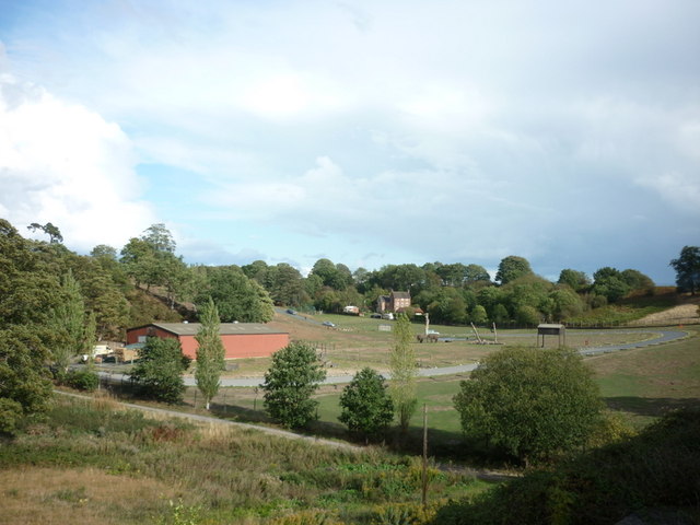
Birchen Coppice is a small village located in the county of Worcestershire, England. Situated approximately 3 miles northwest of the town of Kidderminster, it is nestled amidst picturesque countryside and boasts a tranquil and rural setting.
The village is primarily residential, with a population of around 1,500 residents. The housing stock consists mainly of traditional English cottages and houses, which contribute to the village's charming and idyllic character. The community is close-knit, with a strong sense of belonging and a friendly atmosphere.
Birchen Coppice benefits from its proximity to the nearby town of Kidderminster, where residents have access to a range of amenities and services, including shops, supermarkets, schools, and leisure facilities. The village itself offers limited amenities, such as a small convenience store and a pub, providing basic necessities and a place to socialize.
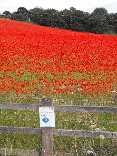
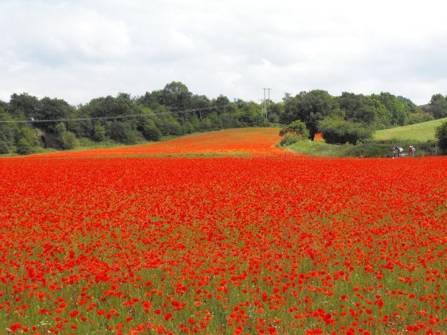
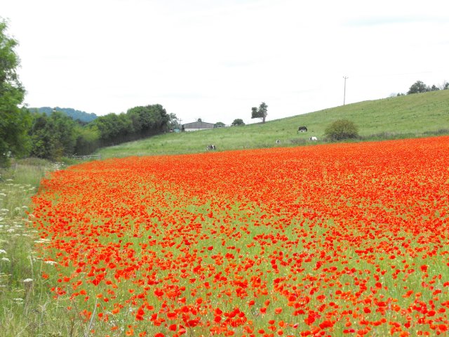
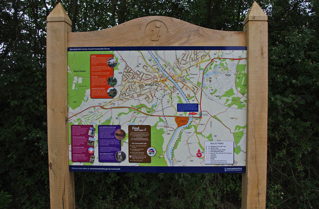
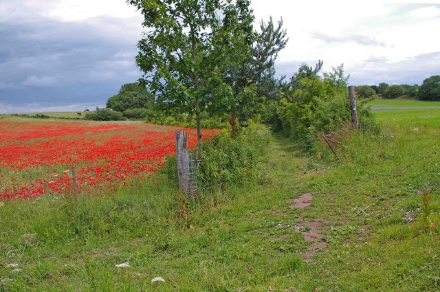
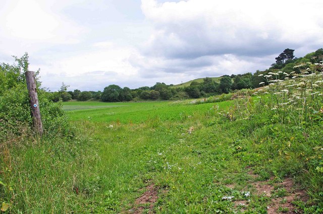
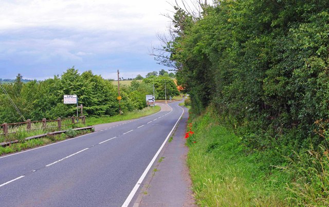
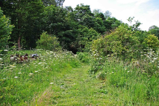
The surrounding countryside offers ample opportunities for outdoor activities, with several walking and cycling routes in and around the village. The nearby Wyre Forest, a large woodland area, is a popular destination for nature enthusiasts and provides a serene and peaceful environment.
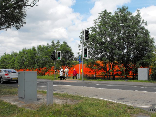
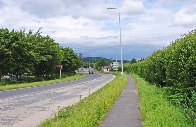
Transport links are convenient, with the A449 road passing close to the village, connecting it to Kidderminster and other nearby towns. The nearest railway station is located in Kidderminster, providing regular services to destinations across the region.
Overall, Birchen Coppice is a charming village that offers a peaceful and rural lifestyle within easy reach of larger towns and amenities. Its picturesque setting and strong community spirit make it an appealing place to live.
If you have any feedback on the listing, please let us know in the comments section below.
Birchen Coppice Images
Images are sourced within 2km of 52.368432/-2.2725462 or Grid Reference SO8174. Thanks to Geograph Open Source API. All images are credited.


Birchen Coppice is located at Grid Ref: SO8174 (Lat: 52.368432, Lng: -2.2725462)
Administrative County: Worcestershire
District: Wyre Forest
Police Authority: West Merica
Also known as: Birchan Coppice
What 3 Words
///coherent.echo.stands. Near Kidderminster, Worcestershire
Nearby Locations
Related Wikis

Foley Park Halt railway station
Foley Park Halt was the first stop on the GWR Kidderminster to Bewdley loop line which now forms part of the Severn Valley Railway. It was located in the...
Rifle Range Halt railway station
Rifle Range Halt was a short-lived unstaffed request stop on the GWR Kidderminster to Bewdley loop line which now forms part of the Severn Valley Railway...
Chain Wire Club Ground
The Chain Wire Club Ground in Stourport-on-Severn, Worcestershire was used for first-class cricket by Worcestershire County Cricket Club on a single occasion...

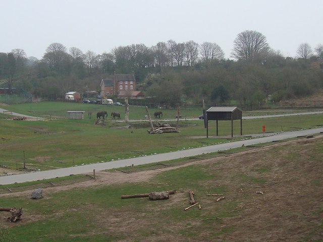
West Midland Safari Park
West Midland Safari and Leisure Park is a safari park located in Bewdley in Worcestershire, England. It was opened under the name of West Midland Safari...
Wilden Marsh
Wilden Marsh is a nature reserve of the Worcestershire Wildlife Trust. It is situated between Kidderminster and Stourport-on-Severn, in Worcestershire...

Kidderminster Hospital
Kidderminster Hospital is an acute general hospital in Kidderminster in Worcestershire, England. It is managed by the Worcestershire Acute Hospitals NHS...
The Stourport High School and Sixth Form Centre
The Stourport High School & VIth Form Centre, formerly known as the Stourport High School and Language College, opened to students in 1956 as an 11-18...

Burlish Halt railway station
Burlish Halt railway station was a station on the Severn Valley Railway in Stourport-on-Severn, Worcestershire, England. The halt opened on 31 March 1930...
Nearby Amenities
Located within 500m of 52.368432,-2.2725462Have you been to Birchen Coppice?
Leave your review of Birchen Coppice below (or comments, questions and feedback).