Betty's Grave
Settlement in Gloucestershire Cotswold
England
Betty's Grave
Betty's Grave is a small, unassuming site located in Gloucestershire, England. Situated in the tranquil countryside, it is a popular destination for those seeking a peaceful retreat or a glimpse into local history. This historically significant place derives its name from the mysterious legend surrounding a young woman named Betty.
According to local folklore, Betty was a servant girl who tragically lost her life in the early 18th century. The exact circumstances of her demise remain unclear, but many believe she was the victim of a tragic accident or a crime of passion. Her burial spot became a place of fascination and reverence over time, leading to the creation of Betty's Grave.
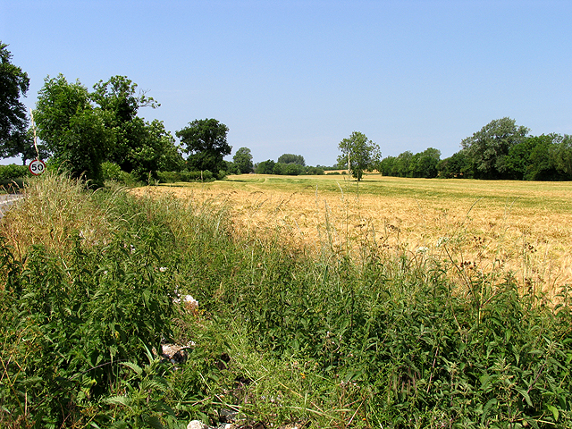
The actual site consists of an old, weathered gravestone surrounded by a small stone wall. Visitors can find it nestled within a picturesque meadow, enveloped by the beauty of the surrounding Gloucestershire countryside. The grave is adorned with fresh flowers and tokens of remembrance left by curious visitors or those seeking solace.
Betty's Grave has become a local attraction, drawing both history enthusiasts and those intrigued by the enigmatic tale of Betty. Many visitors come to pay their respects or ponder the mysteries surrounding her untimely death. The area offers a serene atmosphere, making it a popular spot for contemplation, picnicking, or simply enjoying the tranquility of the English countryside.
While the true story behind Betty's Grave may never be fully revealed, its existence continues to captivate the imagination of locals and tourists alike, ensuring its place as a unique and intriguing landmark in Gloucestershire.
If you have any feedback on the listing, please let us know in the comments section below.
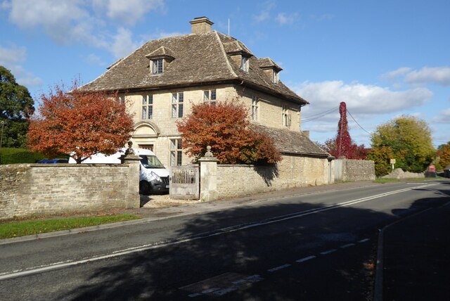
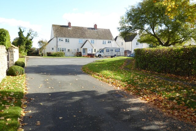
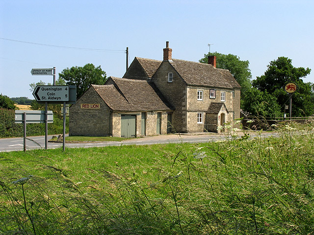
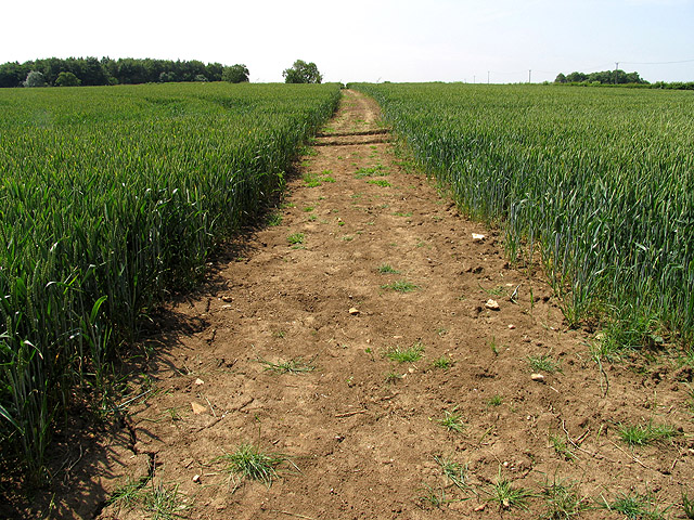
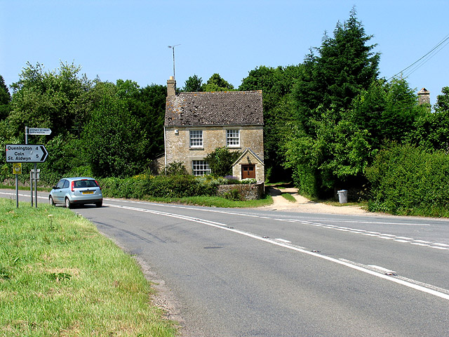
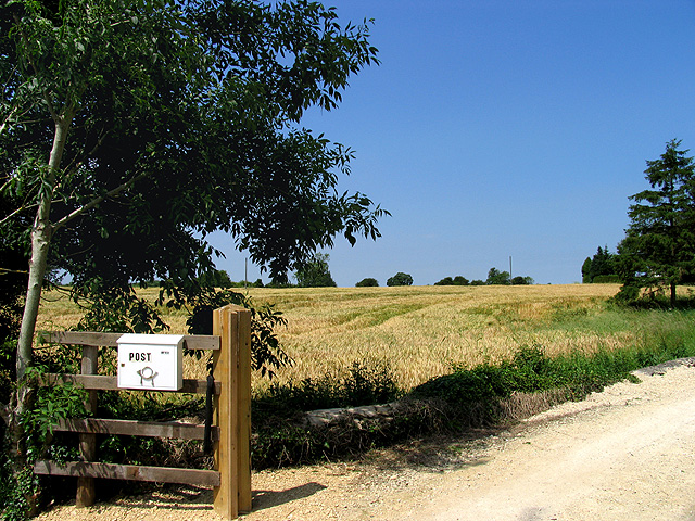
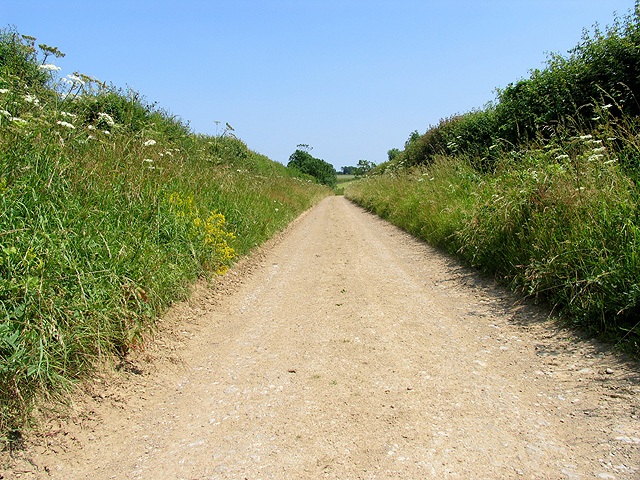
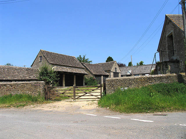
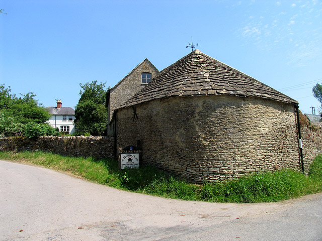
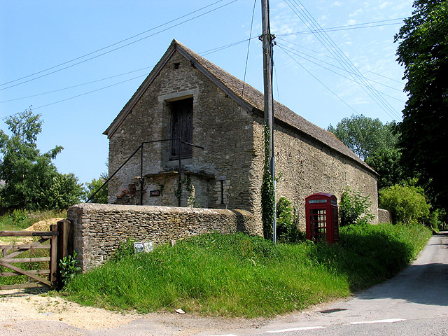
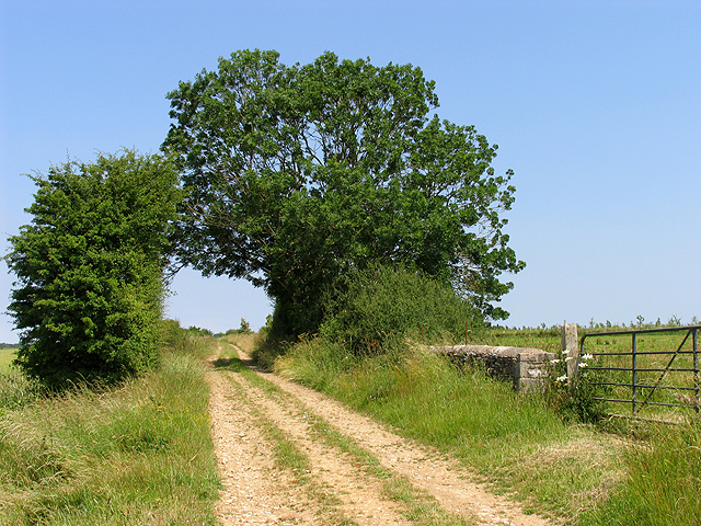
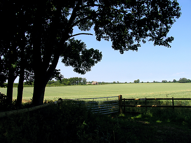
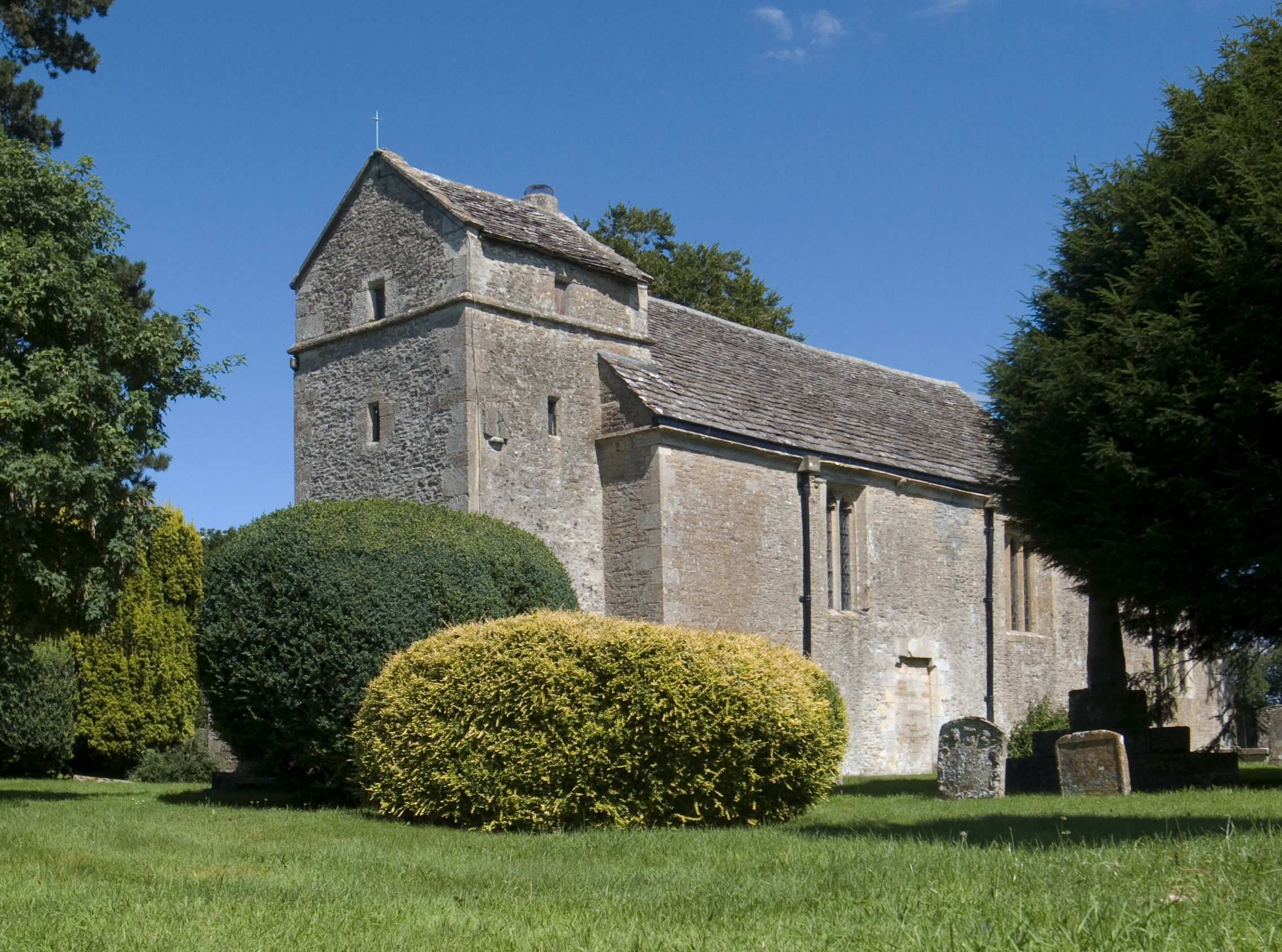
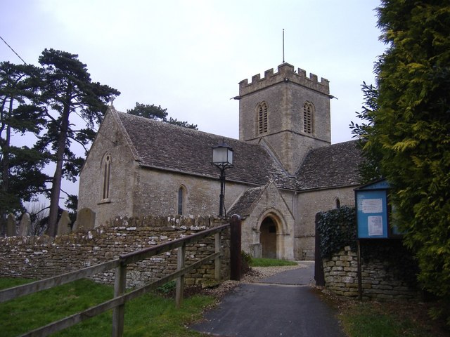
Betty's Grave Images
Images are sourced within 2km of 51.717184/-1.8523213 or Grid Reference SP1002. Thanks to Geograph Open Source API. All images are credited.

Betty's Grave is located at Grid Ref: SP1002 (Lat: 51.717184, Lng: -1.8523213)
Administrative County: Gloucestershire
District: Cotswold
Police Authority: Gloucestershire
What 3 Words
///candy.compliant.enlighten. Near Fairford, Gloucestershire
Nearby Locations
Related Wikis

Poulton, Gloucestershire
Poulton is a village and civil parish in the English county of Gloucestershire, approximately 24 miles (39 km) to the south-east of Gloucester. It lies...

Sunhill
Sunhill is hamlet at the junction of a five-ways crossroads in the English county of Gloucestershire. == Overview == Sunhill is located on the ancient...
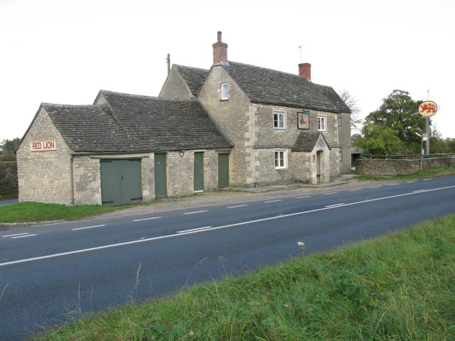
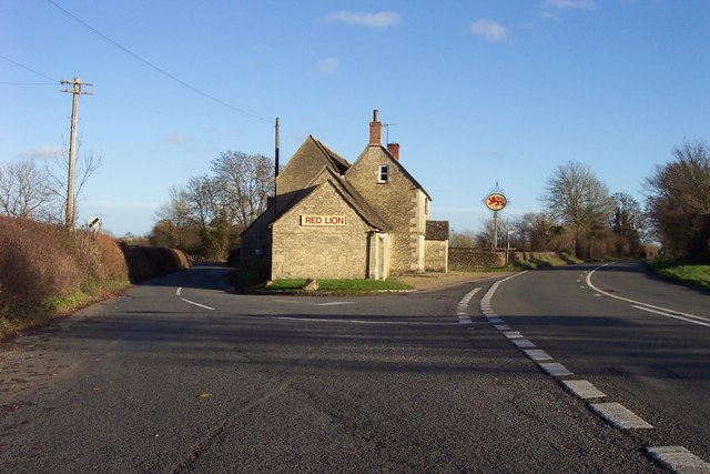
Red Lion, Ampney St Peter
The Red Lion is a Grade II listed pub at Ampney St Peter, Gloucestershire, GL7 5SL.It is on the Campaign for Real Ale's National Inventory of Historic...
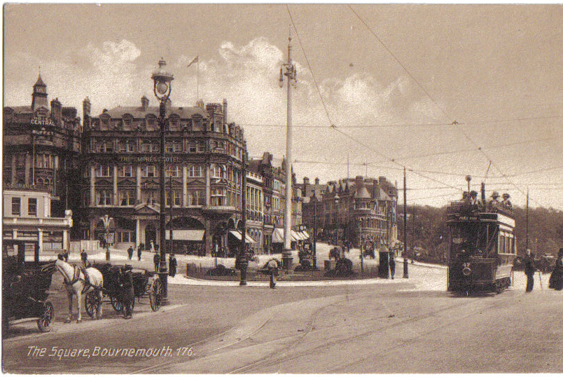
Bournemouth Corporation Tramways
Bournemouth Corporation Tramways served the town of Bournemouth in Dorset (although at the time it was in Hampshire) from 23 July 1902 until 8 April 1936...
Ampney St Mary
Ampney St Mary is a small village and civil parish in the Cotswolds, part of the Cotswold District of Gloucestershire, England. According to the 2001 census...

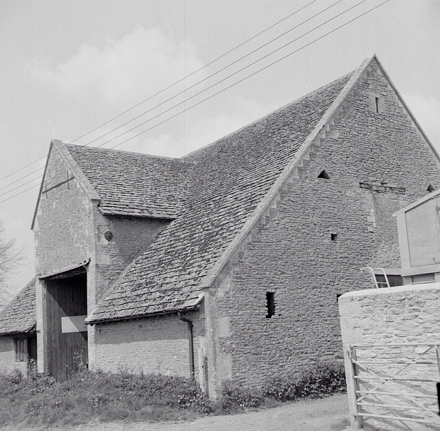
Poulton Priory
Poulton Priory or the Priory of St Mary was a Gilbertine priory in Poulton, Gloucestershire, England. It was founded as a chantry chapel in 1337 by Sir...
Ampney St Peter
Ampney St Peter is a small village and civil parish in the Cotswolds, part of the Cotswold of Gloucestershire, England. According to the 2014 mid year...
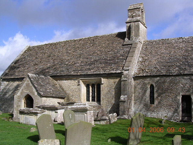
Church of St Mary the Virgin, Meysey Hampton
The Church of St Mary the Virgin is a Church of England parish church in Meysey Hampton, Gloucestershire. It is in the Diocese of Gloucester and the archdeaconry...
Nearby Amenities
Located within 500m of 51.717184,-1.8523213Have you been to Betty's Grave?
Leave your review of Betty's Grave below (or comments, questions and feedback).