Betton Abbots

Settlement in Shropshire

England

Betton Abbots

Bomere Farm A working farmyard, full of all sorts of farming gear, old and new. The footpath runs through here - today dry, but this would be a mud bath after heavy rain.
Bomere Farm Credit: Andrew Shannon

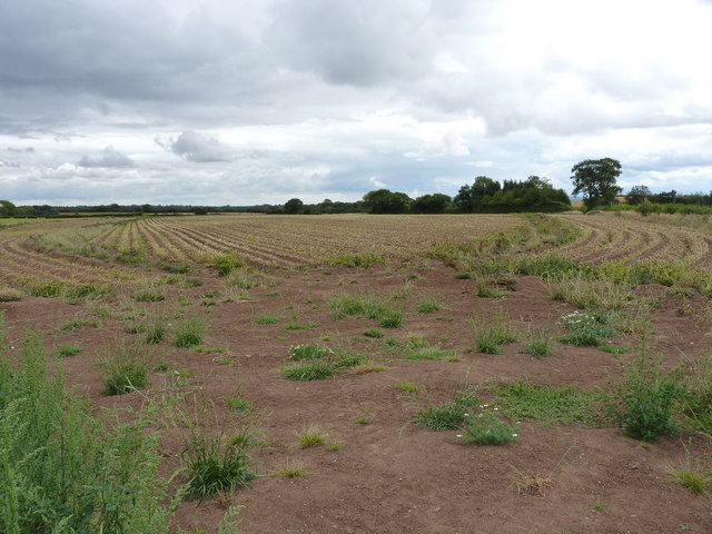
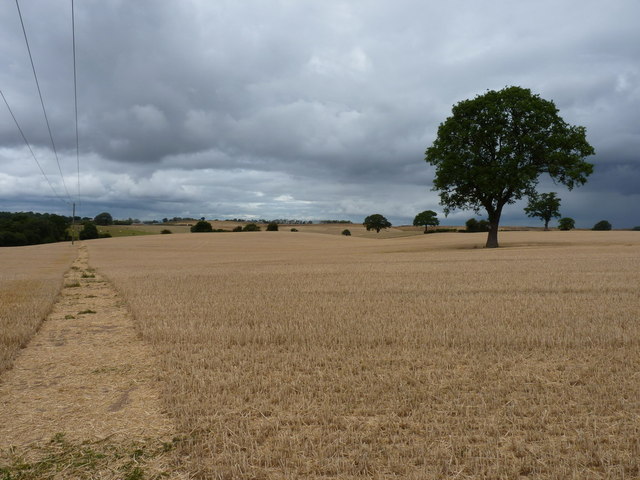
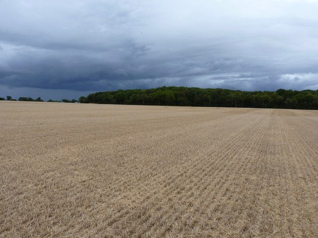
Betton Abbots is a small village located in the county of Shropshire, England. Situated in the West Midlands region, the village is nestled within the picturesque countryside, surrounded by rolling hills and lush green fields. It is part of the larger civil parish of Betton Strange and is roughly 7 miles northeast of Shrewsbury, the county town.

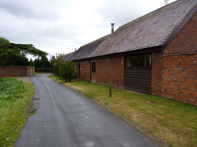
With a population of just over 100 residents, Betton Abbots is known for its tranquility and rural charm. The village is dotted with traditional, stone-built houses, many of which date back several centuries and contribute to its idyllic appearance. The local community is tightly knit and prides itself on its friendly and welcoming atmosphere.

Despite its small size, Betton Abbots boasts a number of amenities for its residents. These include a village hall, a primary school, and a parish church, which is dedicated to St. Margaret. The church is a notable feature of the village, with its striking architecture and historical significance.

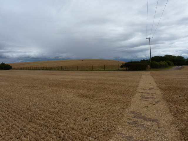
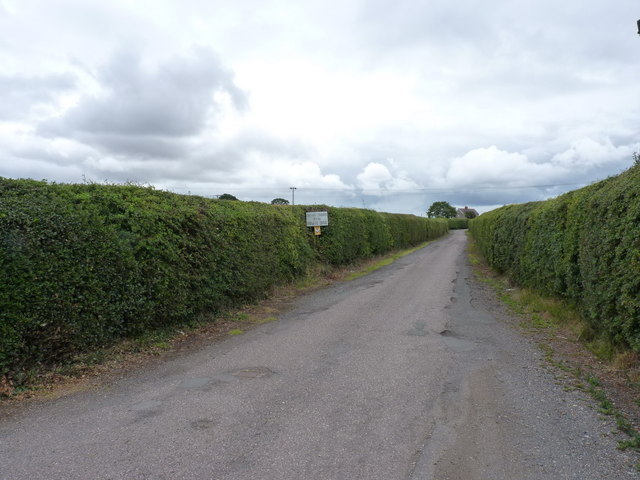
The surrounding countryside offers ample opportunities for outdoor activities, such as walking, hiking, and cycling. The village is also well-positioned for exploring the wider Shropshire area, with its numerous historic sites and attractions. The nearby town of Shrewsbury provides additional amenities and services, including shops, restaurants, and entertainment options.

Overall, Betton Abbots offers a peaceful and scenic retreat for those seeking a quintessential English village experience. Its natural beauty, coupled with its strong sense of community, make it a desirable place to live or visit in Shropshire.

If you have any feedback on the listing, please let us know in the comments section below.

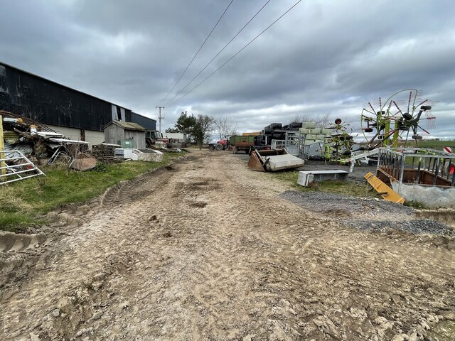
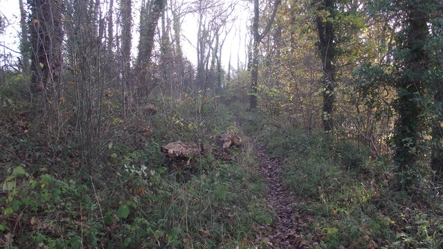
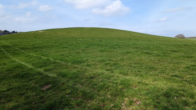
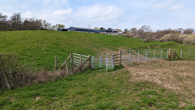
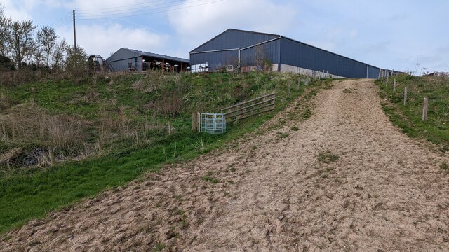
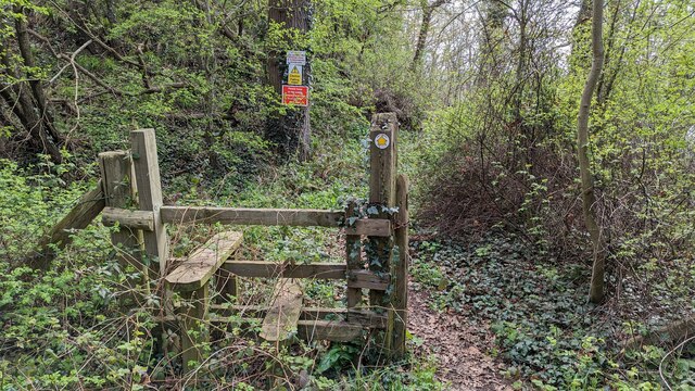
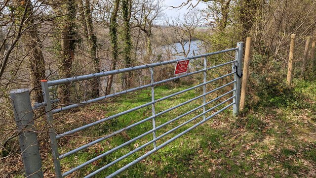
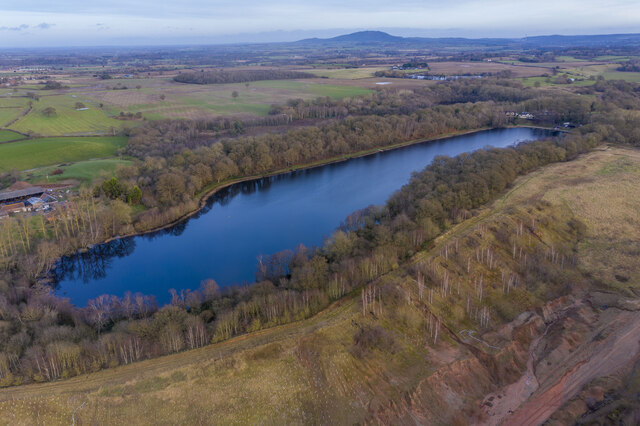
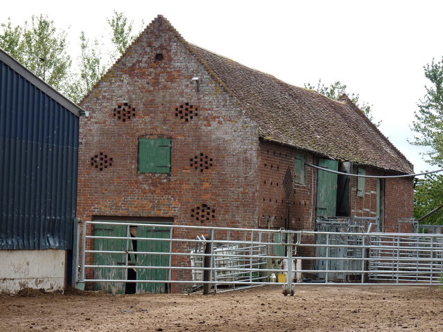
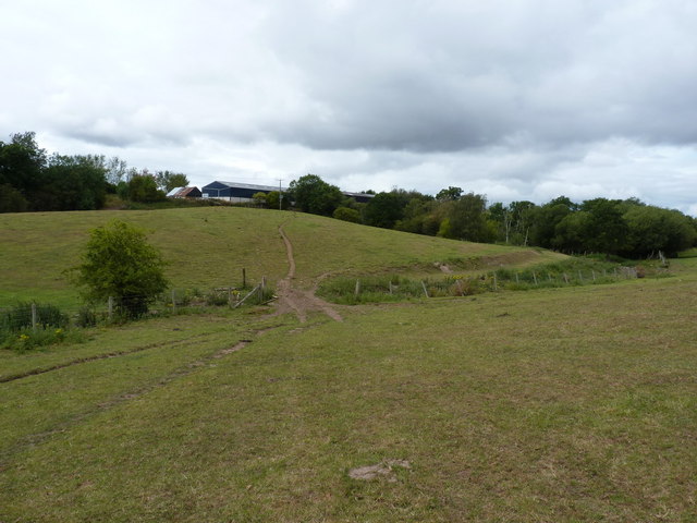
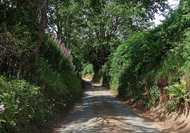
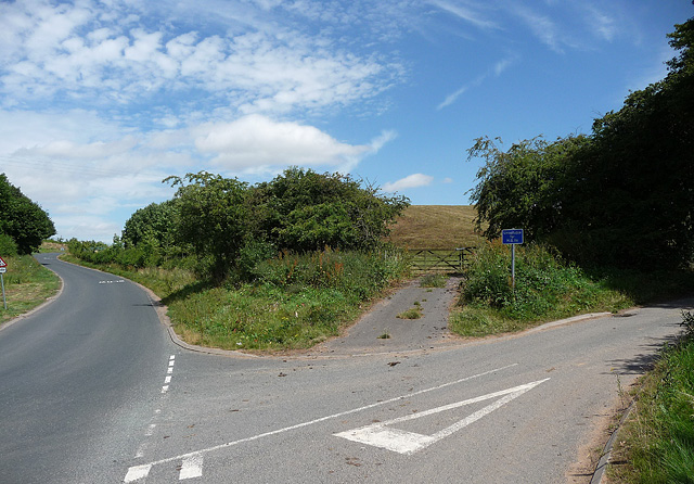
Betton Abbots Images

Images are sourced within 2km of 52.667096/-2.7175113 or Grid Reference SJ5107. Thanks to Geograph Open Source API. All images are credited.

Bomere Farm A working farmyard, full of all sorts of farming gear, old and new. The footpath runs through here - today dry, but this would be a mud bath after heavy rain.
Bomere Farm
A working farmyard, full of all sorts of farming gear, old and new. The footpath runs through here - today dry, but this would be a mud bath after heavy rain.
Footpath through woodland Footpath through Bomere Wood, Bomere lake to the right.
Footpath through woodland
Footpath through Bomere Wood, Bomere lake to the right.
Small glacial hill in field
Kissing gate approaching Bomere Farm
Approaching Bomere Farm
Bypassed stile in Bomere Wood I'm really not sure they want people accessing the surrounding nature, maybe just 'tolerate' them on the footpath. The signs read:

"Strictly no access to Bomere Pool and surrounding woodland."

"Please keep to the public footpaths and dogs must be kept on a lead."
Bypassed stile in Bomere Wood
I'm really not sure they want people accessing the surrounding nature, maybe just 'tolerate' them on the footpath. The signs read: "Strictly no access to Bomere Pool and surrounding woodland." "Please keep to the public footpaths and dogs must be kept on a lead."
Access gate to Bomere Pool Should you dare to try and get a closer look at the lake, you can expect an injury...
Access gate to Bomere Pool
Should you dare to try and get a closer look at the lake, you can expect an injury...
Bomere Pool With The Wrekin in the background
Bomere Pool
With The Wrekin in the background
Barn at Bomere Farm
Barn at Bomere Farm
Footpath near Bomere Farm Footpath in fields below Bomere Farm; in the other direction, it heads off towards Betton Farm about a mile away.
Footpath near Bomere Farm
Footpath in fields below Bomere Farm; in the other direction, it heads off towards Betton Farm about a mile away.
Cliff Hollow near Berrington The local red sandstone much in evidence.
This road is very narrow. Moments later a tractor appeared and I had to press myself into the embankment to avoid being harrowed (I may have invented that word).
Cliff Hollow near Berrington
The local red sandstone much in evidence. This road is very narrow. Moments later a tractor appeared and I had to press myself into the embankment to avoid being harrowed (I may have invented that word).
Country roads near Berrington The one on the left heads north towards Shrewsbury.
The one on the right is called Cliff Hollow (<a href="https://www.geograph.org.uk/photo/2487070">SJ5106 : Cliff Hollow near Berrington</a>) and heads east to Berrington.
Country roads near Berrington
The one on the left heads north towards Shrewsbury. The one on the right is called Cliff Hollow (SJ5106 : Cliff Hollow near Berrington) and heads east to Berrington.
'Taters! There's no path here - just spuds The right of way is reasonably well signed straight across the field, however wise people have beaten a bit of a path around the margin on the right.
'Taters! There's no path here - just spuds
The right of way is reasonably well signed straight across the field, however wise people have beaten a bit of a path around the margin on the right.
Long Barn - Betton Grange Farm Barn conversion at Betton Grange
Long Barn - Betton Grange Farm
Barn conversion at Betton Grange
Footpath and an isolated oak tree, Betton
Betton Coppice across a harvested wheatfield The footpath shown on the map was left clear this year, but follows the line of the power wires, rather than its true route.
Betton Coppice across a harvested wheatfield
The footpath shown on the map was left clear this year, but follows the line of the power wires, rather than its true route.
Nearly at Betton The end of the footpath across a large wheatfield. The high ground on the left, behind the fence, is the old Betton Landfill site.
Nearly at Betton
The end of the footpath across a large wheatfield. The high ground on the left, behind the fence, is the old Betton Landfill site.
Access to Betton Abbots Farm The owner of the farm had challenged me as I passed through, asking me to remove the pictures I'd taken of his farm buildings and front area of the grounds. To avoid antagonisation, I did so, but there are some interesting buildings, and a series of staddle stones at the farm.
Access to Betton Abbots Farm
The owner of the farm had challenged me as I passed through, asking me to remove the pictures I'd taken of his farm buildings and front area of the grounds. To avoid antagonisation, I did so, but there are some interesting buildings, and a series of staddle stones at the farm.
Show me another place!

Betton Abbots is located at Grid Ref: SJ5107 (Lat: 52.667096, Lng: -2.7175113)

Unitary Authority: Shropshire

Police Authority: West Merica

What 3 Words

///cats.loads.adopt. Near Berrington, Shropshire

Nearby Locations

Betton Pool Betton Abbots

Related Wikis

Bomere Pool

Bomere Pool is a large mere lying between the villages of Bayston Hill and Condover in the county of Shropshire, England, 4.7 miles (7.6 kilometres) south...

Betton Strange

Betton Strange is a hamlet in the English county of Shropshire. It is only 2 miles (3.2 km) south of Shrewsbury town centre, situated in countryside just...

Berrington, Shropshire

Berrington is a small village and civil parish in Shropshire, England. According to the 2001 census the village had a population of 30, though the parish...
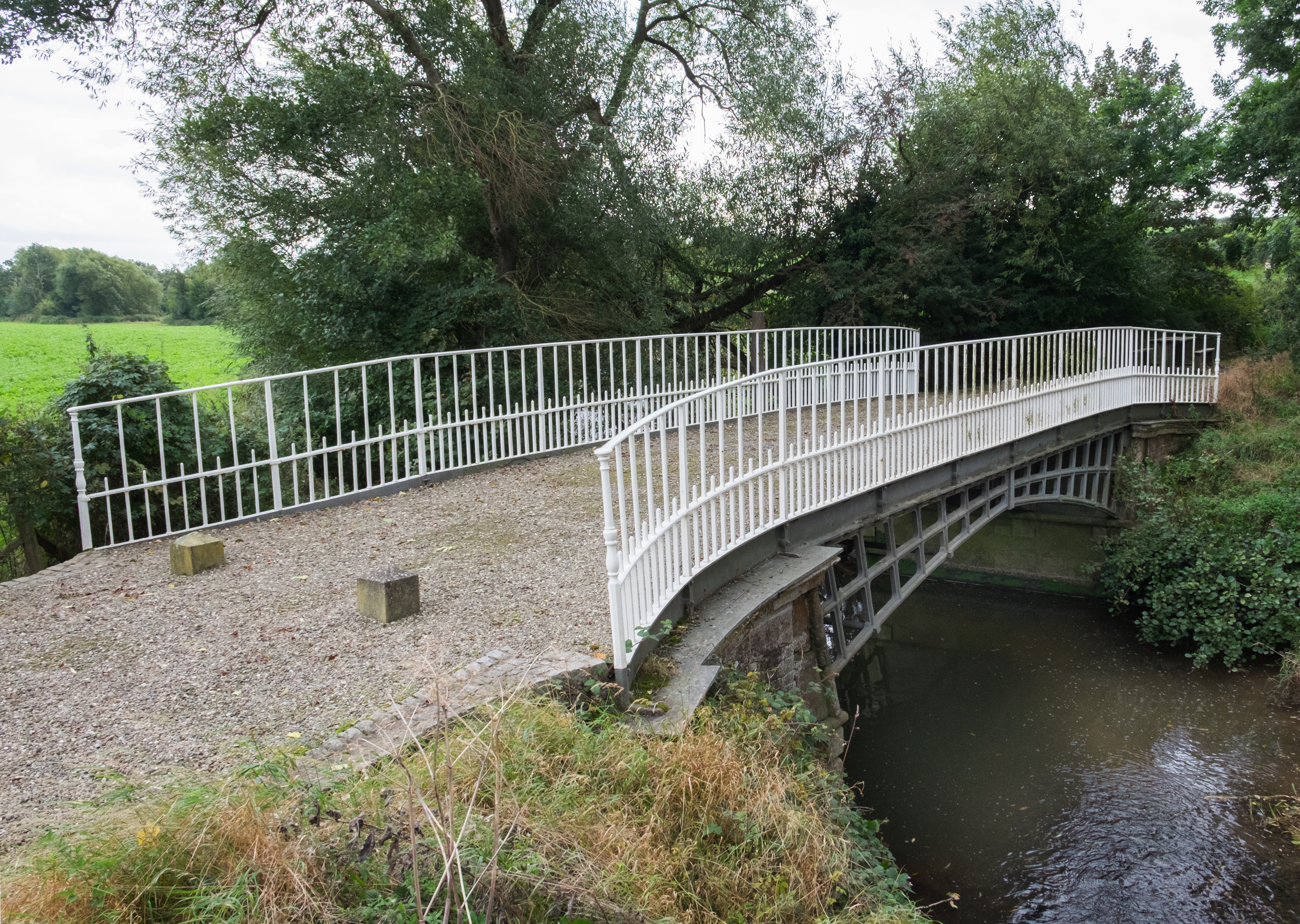
Cantlop Bridge

Cantlop Bridge is a single span cast-iron road bridge over the Cound Brook, located to the north of Cantlop in the parish of Berrington, Shropshire. It...

Nearby Amenities

Located within 500m of 52.667096,-2.7175113
Betton Abbots
Place: hamlet
Lat/Long: 52.6691245/-2.716345
Power: pole
Source: bing
Lat/Long: 52.6685566/-2.7120285
Power: pole
Source: bing
Lat/Long: 52.6686745/-2.7111997
Power: pole
Source: bing
Lat/Long: 52.6669975/-2.710399
Power: pole
Source: bing
Lat/Long: 52.6634611/-2.7201569
Power: pole
Source: bing
Lat/Long: 52.6636645/-2.7183947
Power: pole
Source: bing
Lat/Long: 52.6638694/-2.7165386
Power: pole
Source: bing
Lat/Long: 52.6640955/-2.7146128
Power: pole
Source: bing
Lat/Long: 52.6643021/-2.7126816
Power: pole
Source: bing
Lat/Long: 52.6674253/-2.7185985
Power: pole
Source: bing
Lat/Long: 52.6673131/-2.71667
Power: pole
Source: bing
Lat/Long: 52.6672399/-2.7148998
Power: pole
Source: bing
Lat/Long: 52.6671618/-2.7133441
Power: pole
Lat/Long: 52.671072/-2.7179039
Power: pole
Lat/Long: 52.6703222/-2.7167156
Power: pole
Lat/Long: 52.6696765/-2.7156749
Power: pole
Lat/Long: 52.6689998/-2.7146047
Power: pole
Lat/Long: 52.6682695/-2.713438
Power: pole
Lat/Long: 52.6677815/-2.712695
Power: pole
Lat/Long: 52.6670593/-2.7115631
Power: pole
Lat/Long: 52.6714835/-2.7190009
Power: pole
Lat/Long: 52.6708671/-2.7179816
Power: pole
Lat/Long: 52.6702051/-2.7168766
Power: pole
Lat/Long: 52.6695561/-2.7158117
Power: pole
Lat/Long: 52.6689283/-2.7147925
Power: pole
Lat/Long: 52.6683037/-2.7137491
Power: pole
Lat/Long: 52.6683866/-2.7241427
Power: pole
Lat/Long: 52.6679035/-2.7218279
Power: pole
Lat/Long: 52.6675066/-2.7200496
Give Way
Direction: forward
Lat/Long: 52.6677838/-2.7112584
Give Way
Direction: backward
Lat/Long: 52.6695936/-2.7131305
The data included in this document is from www.openstreetmap.org. The data is made available under ODbL.

Have you been to Betton Abbots?

Leave your review of Betton Abbots below (or comments, questions and feedback).