Bentwitchen

Settlement in Devon North Devon

England

Bentwitchen

North Molton: in the Mole valley A footpath between Mines Bridge and Higher Mines Wood. Looking east-south-east
North Molton: in the Mole valley Credit: Martin Bodman

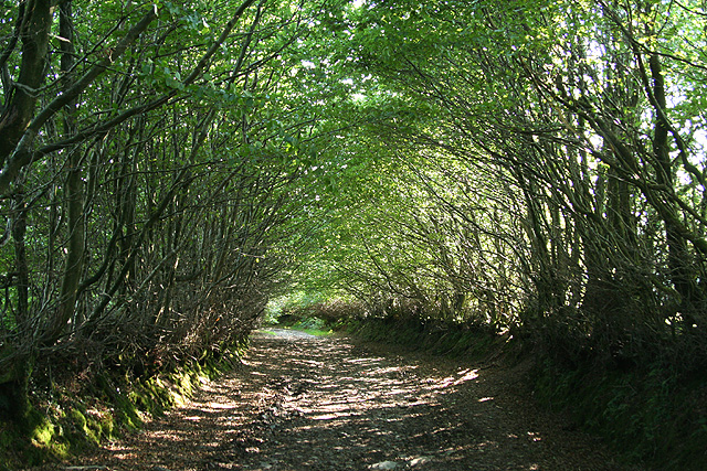
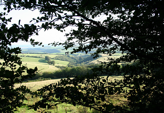
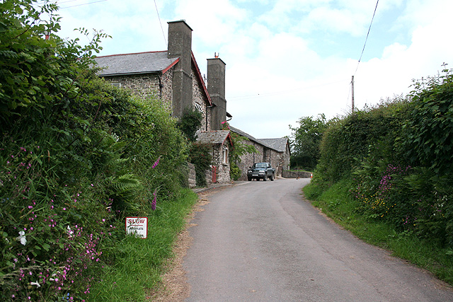
Bentwitchen is a small village located in Devon, England. Situated in the heart of the Exmoor National Park, this rural community is known for its picturesque landscapes and tranquility. The village is nestled amidst rolling hills, dense woodlands, and meandering rivers, offering a serene escape for residents and visitors alike.

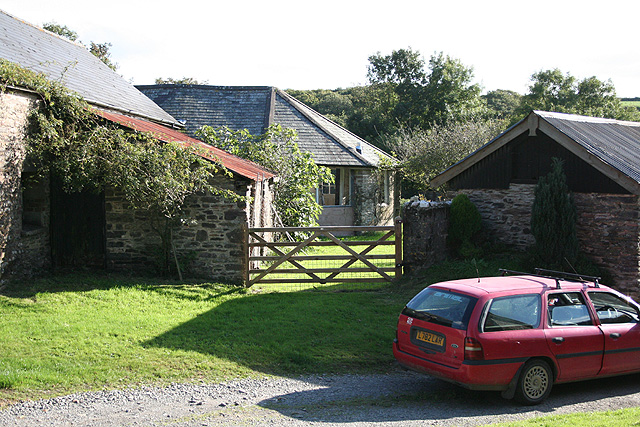
With a population of around 100 people, Bentwitchen embodies the quintessential charm of a traditional English village. The architecture of the houses reflects the region's heritage, with many buildings dating back centuries. Stone cottages and thatched roofs can be found scattered throughout the village, adding to its rustic appeal.

Bentwitchen is a haven for outdoor enthusiasts, as it offers a plethora of walking and hiking trails that meander through the surrounding countryside. The moorland and woodland areas provide ample opportunities for wildlife spotting, making it a haven for nature lovers. The nearby rivers and streams offer fishing opportunities for those seeking a more relaxed outdoor experience.

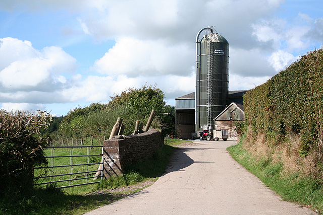
Despite its remote location, Bentwitchen is not far from amenities. The village is within a short driving distance of larger towns, where residents can access shops, schools, and medical facilities. The close-knit community also organizes various events throughout the year, fostering a sense of togetherness among residents.

In conclusion, Bentwitchen is a hidden gem in the heart of Devon. Its idyllic setting, coupled with its rich natural beauty, makes it a desirable destination for those seeking a peaceful retreat in the English countryside.

If you have any feedback on the listing, please let us know in the comments section below.
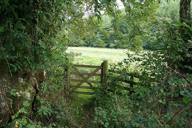
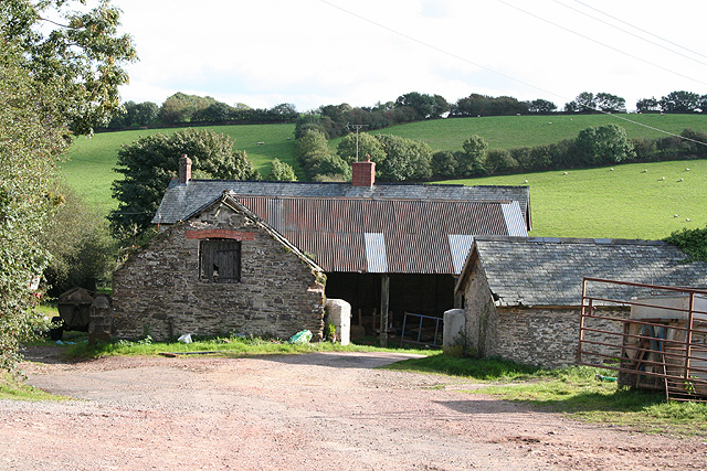
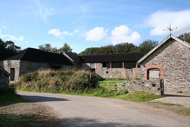
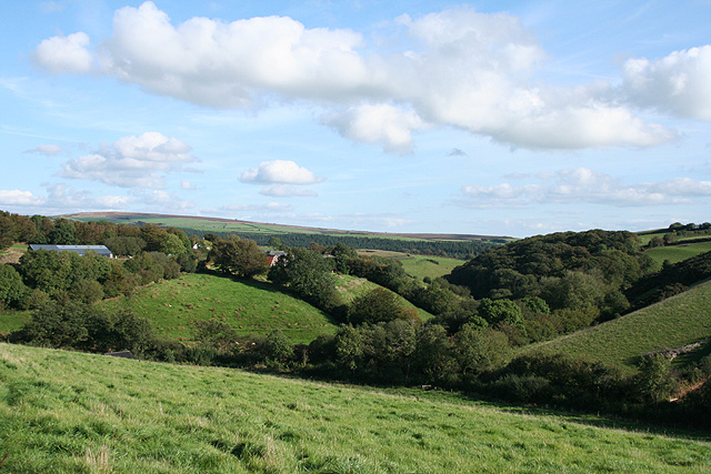
Bentwitchen Images

Images are sourced within 2km of 51.09127/-3.8132209 or Grid Reference SS7334. Thanks to Geograph Open Source API. All images are credited.

North Molton: in the Mole valley A footpath between Mines Bridge and Higher Mines Wood. Looking east-south-east
North Molton: in the Mole valley
A footpath between Mines Bridge and Higher Mines Wood. Looking east-south-east
North Molton: Heasley Mill The hamlet acquired its full name in the late 18th century when a four-storey water-powered woollen factory was established here. It ceased work by 1860 or thereabouts and was demolished by the time of the First World War. It stood on the small green to the right of the Heasley House Hotel, the large Georgian building in the centre of the group. A further watermill beyond the green survives as a house conversion. Looking north east
North Molton: Heasley Mill
The hamlet acquired its full name in the late 18th century when a four-storey water-powered woollen factory was established here. It ceased work by 1860 or thereabouts and was demolished by the time of the First World War. It stood on the small green to the right of the Heasley House Hotel, the large Georgian building in the centre of the group. A further watermill beyond the green survives as a house conversion. Looking north east
North Molton: Bampfylde Mine The mine was worked for copper in the 18th and 19th centuries. Seven waterwheels were on site in 1868, powered by more than one leat; these were used for pumping the mine and crushing and dressing the ores. Looking south east. [For more information see ‘Exmoor’s Industrial Archaeology’, edited by Michael Atkinson, Exmoor Press, 1997]
North Molton: Bampfylde Mine
The mine was worked for copper in the 18th and 19th centuries. Seven waterwheels were on site in 1868, powered by more than one leat; these were used for pumping the mine and crushing and dressing the ores. Looking south east. [For more information see ‘Exmoor’s Industrial Archaeology’, edited by Michael Atkinson, Exmoor Press, 1997]
North Molton: North Heasley Part of the complex of farm buildings here. Looking south-south-east
North Molton: North Heasley
Part of the complex of farm buildings here. Looking south-south-east
North Molton: towards North Heasley Looking north east. Fyldon Common is on the skyline
North Molton: towards North Heasley
Looking north east. Fyldon Common is on the skyline
North Molton: East Yarde Farm A range of barns, possibly built in the 19th century. Looking north-north-west
North Molton: East Yarde Farm
A range of barns, possibly built in the 19th century. Looking north-north-west
North Molton: towards East Yarde Looking north-north-east with Five Burrows Hill on the skyline
North Molton: towards East Yarde
Looking north-north-east with Five Burrows Hill on the skyline
North Molton: towards Heasley Wood The wood is on the right of the valley. On the left, hidden behind trees is Bentwitchen, a complex of farm buildings, some now converted to private homes. Looking south east in late afternoon light, September
North Molton: towards Heasley Wood
The wood is on the right of the valley. On the left, hidden behind trees is Bentwitchen, a complex of farm buildings, some now converted to private homes. Looking south east in late afternoon light, September
North Molton: Bentwitchen Looking south towards a converted horse-engine house: the building beyond the gate. A leat runs south to Bentwitchen but apparently was used for potable water and for irrigation: power was provided by horses rather than by a waterwheel
North Molton: Bentwitchen
Looking south towards a converted horse-engine house: the building beyond the gate. A leat runs south to Bentwitchen but apparently was used for potable water and for irrigation: power was provided by horses rather than by a waterwheel
North Molton: on Fyldon Hill Sheep penned waiting for attention to their hooves near Span Head. Looking east-south-east
North Molton: on Fyldon Hill
Sheep penned waiting for attention to their hooves near Span Head. Looking east-south-east
North Molton: Great Heasley Seen from the lane between Heasley Mill and Rewe Cross
North Molton: Great Heasley
Seen from the lane between Heasley Mill and Rewe Cross
North Molton: near North Heasley Cross Looking east-north-east towards Exmoor beyond North Radworthy
North Molton: near North Heasley Cross
Looking east-north-east towards Exmoor beyond North Radworthy
North Molton: towards Great Heasley Looking east
North Molton: towards Great Heasley
Looking east
North Molton: at Yardwells Cross On the boundary of Exmoor National Park, looking north. The road ahead leads to Kinsford Gate Cross and Simonsbath
North Molton: at Yardwells Cross
On the boundary of Exmoor National Park, looking north. The road ahead leads to Kinsford Gate Cross and Simonsbath
North Molton: towards Yarde Gate Farm Just before the farm a turning on the left leads to Heasley Cross. Looking south from Yardwells Cross
North Molton: towards Yarde Gate Farm
Just before the farm a turning on the left leads to Heasley Cross. Looking south from Yardwells Cross
North Molton: track to Bentwitchen Looking south west below Span Head
North Molton: track to Bentwitchen
Looking south west below Span Head
North Molton: towards Lyddicombe Bottom With Fyldon Hill to the left. Seen from the tree-lined track that runs from Span Head to Bentwitchen
North Molton: towards Lyddicombe Bottom
With Fyldon Hill to the left. Seen from the tree-lined track that runs from Span Head to Bentwitchen
North Molton: on Fyldon Hill Looking west-south-west towards Bentwitchen
North Molton: on Fyldon Hill
Looking west-south-west towards Bentwitchen
Show me another place!

Bentwitchen is located at Grid Ref: SS7334 (Lat: 51.09127, Lng: -3.8132209)

Administrative County: Devon

District: North Devon

Police Authority: Devon and Cornwall

What 3 Words

///magazine.clerics.assess. Near South Molton, Devon

Nearby Locations

Bentwitchen

Related Wikis

Bentwitchen

Bentwitchen is a hamlet in Devon, England. == References ==

North Radworthy

North Radworthy is a hamlet and historic estate in the civil parish and former manor of North Molton, in the North Devon district of the county of Devon...

South Radworthy

South Radworthy is a hamlet in the civil parish of North Molton, in the North Devon District of the county of Devon, England. It is about three miles to...

North Molton

North Molton is a village, parish and former manor in North Devon, England. The population of the parish in 2001 was 1,047, decreasing to 721 in the 2011...

Nearby Amenities

Located within 500m of 51.09127,-3.8132209
Generator Method: photovoltaic
Generator Output Electricity: yes
Generator Source: solar
Generator Type: solar_photovoltaic_panel
Location: roof
Power: generator
Lat/Long: 51.0919551/-3.8142005
The data included in this document is from www.openstreetmap.org. The data is made available under ODbL.

Have you been to Bentwitchen?

Leave your review of Bentwitchen below (or comments, questions and feedback).