Bentinck Town
Settlement in Nottinghamshire Ashfield
England
Bentinck Town
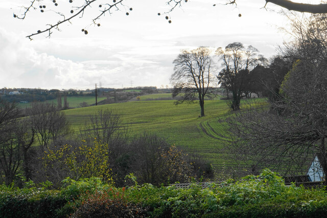
Bentinck Town is a small residential area located in the county of Nottinghamshire, East Midlands, England. Situated approximately 4 miles northwest of the city of Nottingham, it falls within the district of Ashfield.
The town is named after the iconic Bentinck family, who were prominent landowners in the area during the 19th century. It is believed that the town was established to accommodate the growing workforce of the nearby Bentinck Colliery, which was an important coal mining site during the Industrial Revolution.
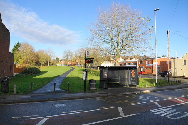
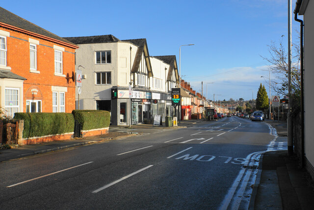
Bentinck Town primarily consists of rows of terraced houses, which were built during the late 19th and early 20th centuries to house the workers and their families. The architectural style of the houses reflects the period in which they were constructed, with red-brick facades and small front gardens.
Today, Bentinck Town retains its residential character, offering a quiet and close-knit community for its residents. The town benefits from its proximity to Nottingham, providing easy access to the city's amenities and employment opportunities. Additionally, the nearby M1 motorway ensures convenient connections to other parts of the country.
While there may not be many commercial establishments within Bentinck Town itself, residents can find a range of shops, schools, and services in the surrounding areas. The town is also located close to several green spaces, including Bentinck Park, providing recreational opportunities for residents.
If you have any feedback on the listing, please let us know in the comments section below.
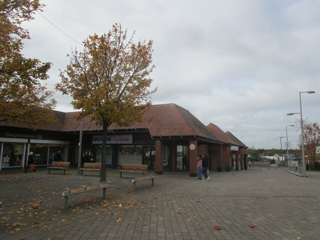
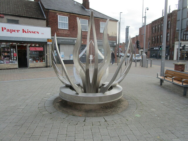
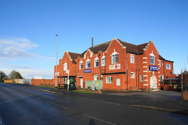
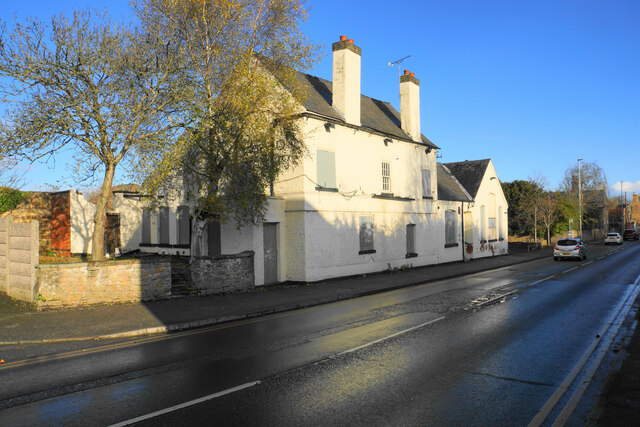
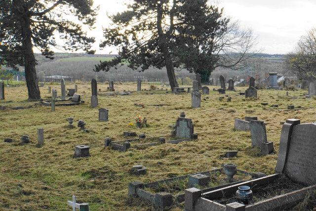
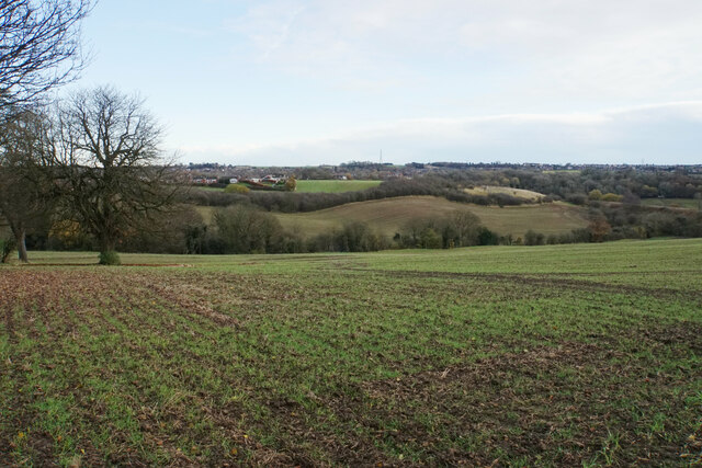
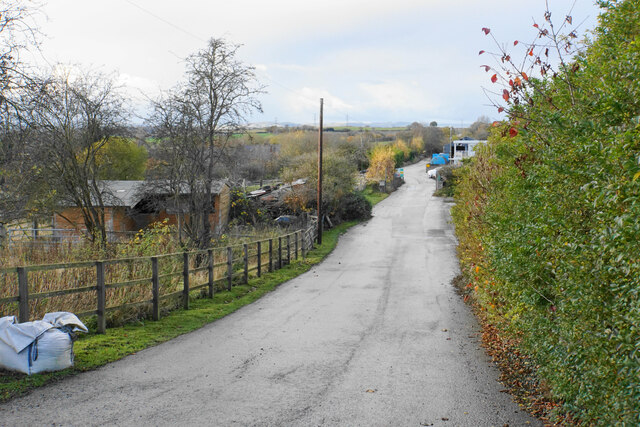
Bentinck Town Images
Images are sourced within 2km of 53.094085/-1.2721259 or Grid Reference SK4855. Thanks to Geograph Open Source API. All images are credited.


Bentinck Town is located at Grid Ref: SK4855 (Lat: 53.094085, Lng: -1.2721259)
Administrative County: Nottinghamshire
District: Ashfield
Police Authority: Nottinghamshire
What 3 Words
///heavy.rivers.finely. Near Kirkby in Ashfield, Nottinghamshire
Nearby Locations
Related Wikis

Kirkby Bentinck railway station
Kirkby Bentinck railway station served the town of Kirkby-in-Ashfield, Nottinghamshire, England. It was on the Annesley branch of the Manchester, Sheffield...
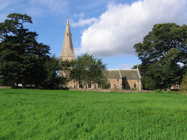
St Wilfrid's Church, Kirkby-in-Ashfield
St Wilfrid's Church, Kirkby-in-Ashfield is a parish church in the Church of England in Kirkby-in-Ashfield, Nottinghamshire. The church is Grade II listed...

Kirkby-in-Ashfield Central railway station
Kirkby-in-Ashfield Central is a former railway station that served the town of Kirkby-in-Ashfield, Nottinghamshire. == History == The station was opened...

Kirkby-in-Ashfield railway station
Kirkby-in-Ashfield railway station serves the town of Kirkby-in-Ashfield in Nottinghamshire, England. The station is on the Robin Hood Line and is operated...
Nearby Amenities
Located within 500m of 53.094085,-1.2721259Have you been to Bentinck Town?
Leave your review of Bentinck Town below (or comments, questions and feedback).