Bemersley Green

Settlement in Staffordshire

England

Bemersley Green

Brown Edge, St Anne
Brown Edge, St Anne Credit: Dave Kelly

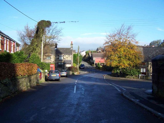
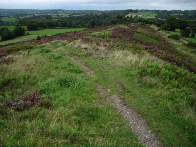
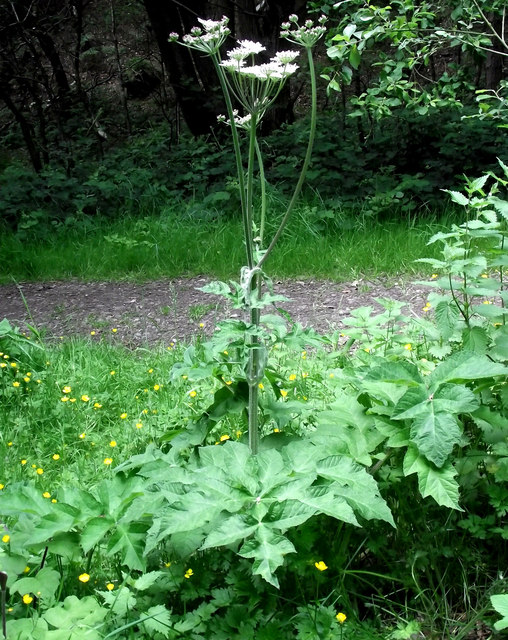
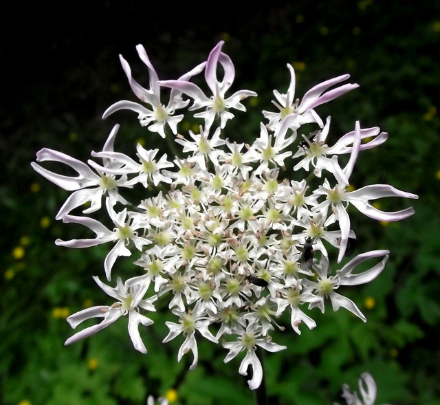
Bemersley Green is a small village located in the county of Staffordshire, England. Situated approximately 5 miles northeast of Stoke-on-Trent, the village is nestled in the Staffordshire Moorlands district. Bemersley Green is known for its picturesque countryside setting, characterized by rolling hills, meandering streams, and lush greenery.

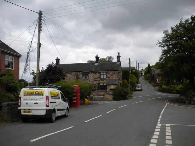
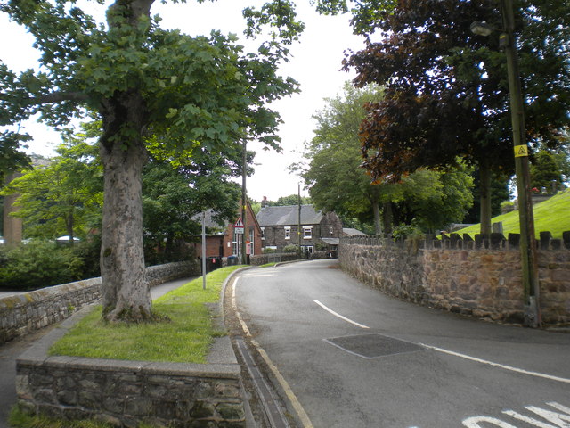
The village itself is relatively small, with a population of around 500 residents. It has a close-knit community feel, where neighbors often know each other and create a friendly atmosphere. The village is predominantly residential, with a mix of traditional stone houses and more modern developments. The architecture reflects the village's history, with some buildings dating back several centuries.

Although Bemersley Green is a quiet and peaceful place, it benefits from its proximity to larger towns and cities. Residents have easy access to amenities and services in nearby Stoke-on-Trent, including schools, shops, and healthcare facilities. The village also benefits from good transport links, with regular bus services connecting it to surrounding areas.

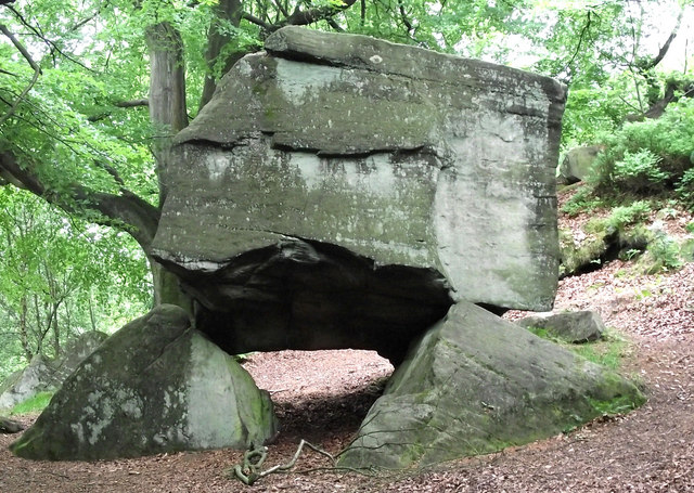
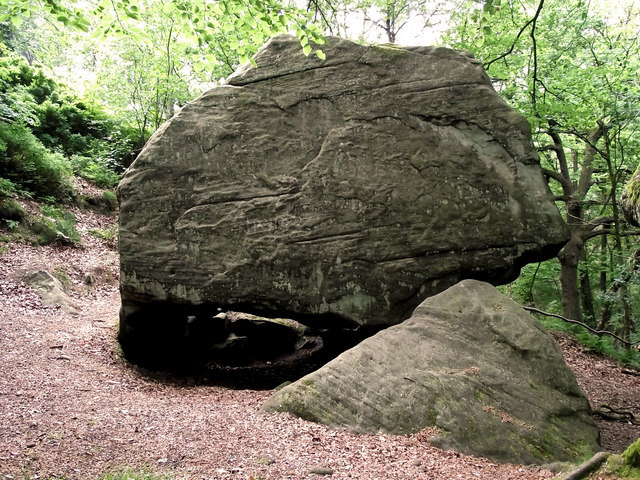
For those who enjoy outdoor activities, Bemersley Green offers ample opportunities. The surrounding countryside provides beautiful walking and cycling routes, and there are several parks and nature reserves nearby. The village is also within reach of the Peak District National Park, offering further recreational activities and stunning landscapes.

Overall, Bemersley Green offers a tranquil and scenic setting for those seeking a quieter lifestyle, while still providing access to the amenities and attractions of nearby towns and cities.

If you have any feedback on the listing, please let us know in the comments section below.

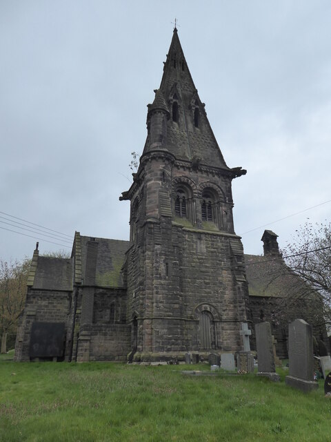
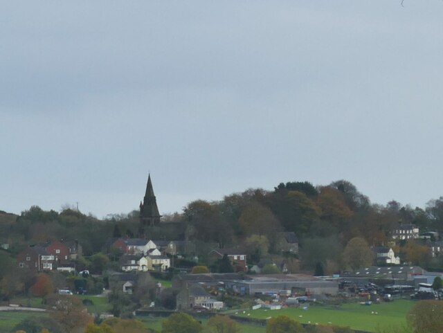
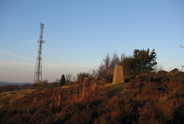
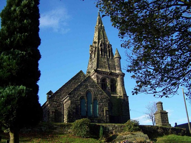
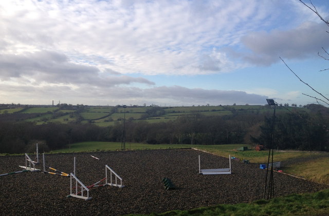
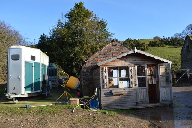
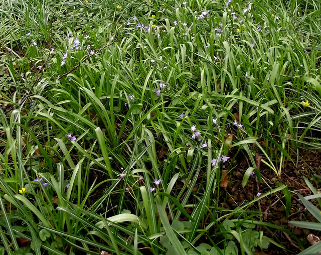
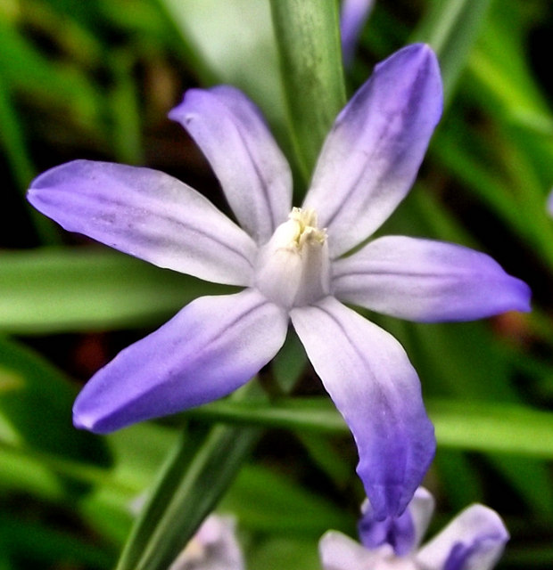
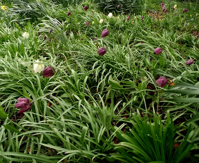
Bemersley Green Images

Images are sourced within 2km of 53.084867/-2.1716506 or Grid Reference SJ8854. Thanks to Geograph Open Source API. All images are credited.

Brown Edge, St Anne
Brown Edge, St Anne
St Anne's church, Brown Edge An Anglican church in the Diocese of Lichfield, built in 1844 by J C Trubshaw (probably James Trubshaw, chief engineer of the Trent and Mersey Canal Company, who certainly designed some other churches). The tower is 1854 by Ward and Son of Hanley. The building is listed grade II (list entry 1188577). Viewed here from Knypersley Dam. See <a href="https://www.geograph.org.uk/photo/5342559">SJ9054 : St Anne's Church, Brown Edge</a> for a closer view.
St Anne's church, Brown Edge
An Anglican church in the Diocese of Lichfield, built in 1844 by J C Trubshaw (probably James Trubshaw, chief engineer of the Trent and Mersey Canal Company, who certainly designed some other churches). The tower is 1854 by Ward and Son of Hanley. The building is listed grade II (list entry 1188577). Viewed here from Knypersley Dam. See SJ9054 : St Anne's Church, Brown Edge for a closer view.
Brown Edge Gritstone country starts immediately you head east from Stoke on Trent. These are the southern fringes of the Pennine Hills.
Brown Edge
Gritstone country starts immediately you head east from Stoke on Trent. These are the southern fringes of the Pennine Hills.
St. Anne, Brown Edge A church with commanding views of the local area
St. Anne, Brown Edge
A church with commanding views of the local area
Church Lane, Brown Edge
Marshes Hill Common
Marshes Hill Common
Gawton's Rock Also known as Gawton's Dolmen and The Healing Stone this arrangement of boulders seems to be shrouded in mystery. Some will tell you that a sort of "energy" can be felt when it is touched, others say there is evidence that a hermit was once healed at the nearby Gawton's Well and then lived in the alcove between the supporting stones to the rear of the rock. It could also have been erected by the owners of the estate during the reign of Queen Victoria (who were called Gawton), creating structures like this was very much in fashion then. Of course, it could have occurred naturally- the large stone breaking away from the rock face behind and coming to rest on the smaller rocks. Who knows? See also <span class="nowrap"><a title="http://www.megalithic.co.uk/article.php?sid=26214" rel="nofollow ugc noopener" href="http://www.megalithic.co.uk/article.php?sid=26214">Link</a><img style="margin-left:2px;" alt="External link" title="External link - shift click to open in new window" src="https://s1.geograph.org.uk/img/external.png" width="10" height="10"/></span> for more theories.
Gawton's Rock
Also known as Gawton's Dolmen and The Healing Stone this arrangement of boulders seems to be shrouded in mystery. Some will tell you that a sort of "energy" can be felt when it is touched, others say there is evidence that a hermit was once healed at the nearby Gawton's Well and then lived in the alcove between the supporting stones to the rear of the rock. It could also have been erected by the owners of the estate during the reign of Queen Victoria (who were called Gawton), creating structures like this was very much in fashion then. Of course, it could have occurred naturally- the large stone breaking away from the rock face behind and coming to rest on the smaller rocks. Who knows? See also LinkExternal link for more theories.
Another view of Gawton's  Rock An opposite view to <a href="https://www.geograph.org.uk/photo/2449483">SJ9055 : Gawton's Rock</a> showing the alcove where the hermit is reputed to have made his home.
Another view of Gawton's Rock
An opposite view to SJ9055 : Gawton's Rock showing the alcove where the hermit is reputed to have made his home.
Spotlight on the junction A gap in the tree canopy allows the sun to spotlight the track junction near <a href="https://www.geograph.org.uk/photo/2449483">SJ9055 : Gawton's Rock</a>.
Spotlight on the junction
A gap in the tree canopy allows the sun to spotlight the track junction near SJ9055 : Gawton's Rock.
Common Hogweed This Common Hogweed (Heracleum sphondylium) plant is growing on the track junction seen in <a href="https://www.geograph.org.uk/photo/2452959">SJ9055 : Spotlight on the junction</a>. For more information and a close-up of one of the umbels, or flowerheads, see <a href="https://www.geograph.org.uk/photo/2452993">SJ9055 : Flowers of the Common Hogweed</a>. There are also some Creeping Buttercup on the ground below it.
Common Hogweed
This Common Hogweed (Heracleum sphondylium) plant is growing on the track junction seen in SJ9055 : Spotlight on the junction. For more information and a close-up of one of the umbels, or flowerheads, see SJ9055 : Flowers of the Common Hogweed. There are also some Creeping Buttercup on the ground below it.
Flowers of the Common Hogweed This is one of the flowerheads or umbels of the plant seen growing in <a href="https://www.geograph.org.uk/photo/2452973">SJ9055 : Common Hogweed</a>.

The Common Hogweed (Heracleum sphondylium) is a common, invasive plant that can be found under hedges, in woodland and on road verges. It is a member of the carrot family (Apiaceae) that when given good growing conditions can grow to height of two metres. The flat shape of the flowerheads give it the classification of Umbellifer, with each separate head being an umbel. Certain parts of the plant are edible, for more information see <span class="nowrap"><a title="http://www.celtnet.org.uk/recipes/ancient/wild-food-entry.php?term=Common%20Hogweed" rel="nofollow ugc noopener" href="http://www.celtnet.org.uk/recipes/ancient/wild-food-entry.php?term=Common%20Hogweed">Link</a><img style="margin-left:2px;" alt="External link" title="External link - shift click to open in new window" src="https://s1.geograph.org.uk/img/external.png" width="10" height="10"/></span> .
Flowers of the Common Hogweed
This is one of the flowerheads or umbels of the plant seen growing in SJ9055 : Common Hogweed. The Common Hogweed (Heracleum sphondylium) is a common, invasive plant that can be found under hedges, in woodland and on road verges. It is a member of the carrot family (Apiaceae) that when given good growing conditions can grow to height of two metres. The flat shape of the flowerheads give it the classification of Umbellifer, with each separate head being an umbel. Certain parts of the plant are edible, for more information see LinkExternal link .
Lanes Old and New, Brown Edge Looking north from the north end of St Anne's Vale, along Old Lane, which continues straight ahead as New Lane bears right behind the tree. Boardman's Bank emerges behind the telephone box.
Lanes Old and New, Brown Edge
Looking north from the north end of St Anne's Vale, along Old Lane, which continues straight ahead as New Lane bears right behind the tree. Boardman's Bank emerges behind the telephone box.
St Anne's Vale, Brown Edge A narrow road around the back of St Anne's Church (out of frame on the right). One of the school buildings can be seen near the middle of the picture.
St Anne's Vale, Brown Edge
A narrow road around the back of St Anne's Church (out of frame on the right). One of the school buildings can be seen near the middle of the picture.
Lower Stonehouse Farm, Brown Edge Looking west. The farm is the home of a riding school called 'Courses for Horses'.
Lower Stonehouse Farm, Brown Edge
Looking west. The farm is the home of a riding school called 'Courses for Horses'.
Office and trailer at Lower Stonehouse Farm riding school
Clump of Chionodoxa The upper part of Greenway Bank Country Park is a wonderful place to come and see spring flowers, later in the year the Beech canopy will be too thick to allow anything to grow. For a close-up of a flower see <a href="https://www.geograph.org.uk/photo/2342251">SJ8855 : Chionodoxa flower</a>.
Clump of Chionodoxa
The upper part of Greenway Bank Country Park is a wonderful place to come and see spring flowers, later in the year the Beech canopy will be too thick to allow anything to grow. For a close-up of a flower see SJ8855 : Chionodoxa flower.
Chionodoxa flower A close-up of one of the <a href="https://www.geograph.org.uk/photo/2342236">SJ8855 : Clump of Chionodoxa</a>. The Chionodoxa, or Glory-of-the-snow, is a garden flower that grows from a bulb. The flowers can be blue, white or pink and they appear in the early spring.
Chionodoxa flower
A close-up of one of the SJ8855 : Clump of Chionodoxa. The Chionodoxa, or Glory-of-the-snow, is a garden flower that grows from a bulb. The flowers can be blue, white or pink and they appear in the early spring.
Snake's Head Fritillary Greenway Bank Country Park always has a wonderful show of spring flowers- especially under the Beeches in the old gardens, later on the Beech canopy becomes so thick nothing grows under them. These will have been planted here.

Snake’s Head Fritillary (Fritillaria meleagris) is Britain’s only native Fritillary and goes by a variety of English names including Checkered Daffodil, Checkered Lily, Chess Flower, Common Fritillary, Frog-cup, Lazarus Bell and Leper Lily. The various shades of purple flower start to appear in spring, looking closely at the flower shows a checked pattern of silvery scales- not unlike a snake’s skin, it even shows on the white form.  They are usually found on the damp lowland meadows and pastures of south-east England but because they prefer land that has not been intensively farmed they are now becoming quite rare. The names Leper Lilies and Lazarus Bells come from the flowers resemblance to the bells that were worn by lepers during the Middle Ages to announce their presence.
Snake's Head Fritillary
Greenway Bank Country Park always has a wonderful show of spring flowers- especially under the Beeches in the old gardens, later on the Beech canopy becomes so thick nothing grows under them. These will have been planted here. Snake’s Head Fritillary (Fritillaria meleagris) is Britain’s only native Fritillary and goes by a variety of English names including Checkered Daffodil, Checkered Lily, Chess Flower, Common Fritillary, Frog-cup, Lazarus Bell and Leper Lily. The various shades of purple flower start to appear in spring, looking closely at the flower shows a checked pattern of silvery scales- not unlike a snake’s skin, it even shows on the white form. They are usually found on the damp lowland meadows and pastures of south-east England but because they prefer land that has not been intensively farmed they are now becoming quite rare. The names Leper Lilies and Lazarus Bells come from the flowers resemblance to the bells that were worn by lepers during the Middle Ages to announce their presence.
Show me another place!

Bemersley Green is located at Grid Ref: SJ8854 (Lat: 53.084867, Lng: -2.1716506)

Unitary Authority: Stoke-on-Trent

Police Authority: Staffordshire

What 3 Words

///feathers.dance.pythons. Near Biddulph, Staffordshire

Nearby Locations

Bemersley Green

Related Wikis

Ridgeway, Staffordshire

Ridgeway is a hamlet on the boundary of Brown Edge and Stoke-on-Trent in Staffordshire, England. == References ==

Chatterley Whitfield

Chatterley Whitfield Colliery is a disused coal mine on the outskirts of Chell, Staffordshire in Stoke on Trent, England. It was the largest mine working...

Black Bull railway station

Black Bull railway station is a disused railway station in Staffordshire, England. The station was opened in 1864 by the North Staffordshire Railway on...

Knypersley Reservoir

Knypersley Reservoir near Biddulph, Staffordshire, England, was built in 1827 to supply water to the Caldon Canal, along with two others at Stanley Pool...

Related Videos

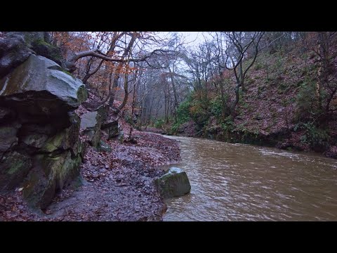
Rain Walk, Knypersley Reservoir and the Warder's Tower, English Countryside 4K

https://www.buymeacoffee.com/Daveswalks All support is hugely appreciated and it helps me keep the channel going! No talking ...

Chatterley Whitfield Heritage Park Stoke On Trent Staffordshire

So in todays walk we explore Chatterley Whitfield , This was completely new to me , never been there before so it was good to ...

Walk around knypersley Reservoir & a sunrise time-lapse video (didn't quite work out)

In this video I visit one of my favourite places, Knypersley Reservoir. I attempted to do a sunrise time lapse at the back end of the ...

New Years day walk at Knypersley Reservoir Staffordshire

A lovely sunny new years day walk around the stunning scenery of Knypersley #hoverairx1 #travel #travelvlog #newyearsday ...

Nearby Amenities

Located within 500m of 53.084867,-2.1716506
Line Management: branch
Power: tower
Lat/Long: 53.081549/-2.1761993
Power: tower
Lat/Long: 53.0812501/-2.1745168
Power: tower
Lat/Long: 53.081056/-2.1756311
Power: tower
Lat/Long: 53.0808064/-2.1742439
Power: tower
Lat/Long: 53.081698/-2.1756555
Power: tower
Lat/Long: 53.0811218/-2.1751921
Power: pole
Lat/Long: 53.082474/-2.1774657
Power: pole
Lat/Long: 53.0854383/-2.1743221
Power: pole
Lat/Long: 53.0867255/-2.1730154
Power: pole
Lat/Long: 53.087808/-2.1719532
Power: pole
Lat/Long: 53.0839207/-2.1758027
Power: pole
Lat/Long: 53.0860038/-2.1737503
Power: pole
Lat/Long: 53.0828155/-2.1770365
Power: pole
Lat/Long: 53.0861792/-2.1735657
Power: pole
Lat/Long: 53.0847102/-2.1750195
Power: pole
Lat/Long: 53.0884073/-2.1713524
Power: pole
Lat/Long: 53.0832634/-2.1765484
Power: pole
Lat/Long: 53.0886384/-2.1718048
Power: pole
Lat/Long: 53.0877395/-2.1726832
Power: pole
Lat/Long: 53.087038/-2.1733966
Power: pole
Lat/Long: 53.0856066/-2.1747606
Power: pole
Lat/Long: 53.0846827/-2.1757087
Power: pole
Lat/Long: 53.0840754/-2.1762693
Power: pole
Lat/Long: 53.0832876/-2.1770498
Power: pole
Lat/Long: 53.0825529/-2.1777928
Power: pole
Lat/Long: 53.0848454/-2.1641618
Power: pole
Lat/Long: 53.084404/-2.1650657
Power: pole
Lat/Long: 53.0839046/-2.1661305
Power: pole
Lat/Long: 53.0835477/-2.1674515
Power: pole
Lat/Long: 53.0832102/-2.1688637
Power: pole
Lat/Long: 53.0825626/-2.170127
Power: pole
Lat/Long: 53.0821614/-2.1709773
Power: pole
Lat/Long: 53.0813607/-2.1726054
Power: pole
Lat/Long: 53.0805704/-2.1734034
The data included in this document is from www.openstreetmap.org. The data is made available under ODbL.

Have you been to Bemersley Green?

Leave your review of Bemersley Green below (or comments, questions and feedback).