Barugh
Settlement in Westmorland Eden
England
Barugh

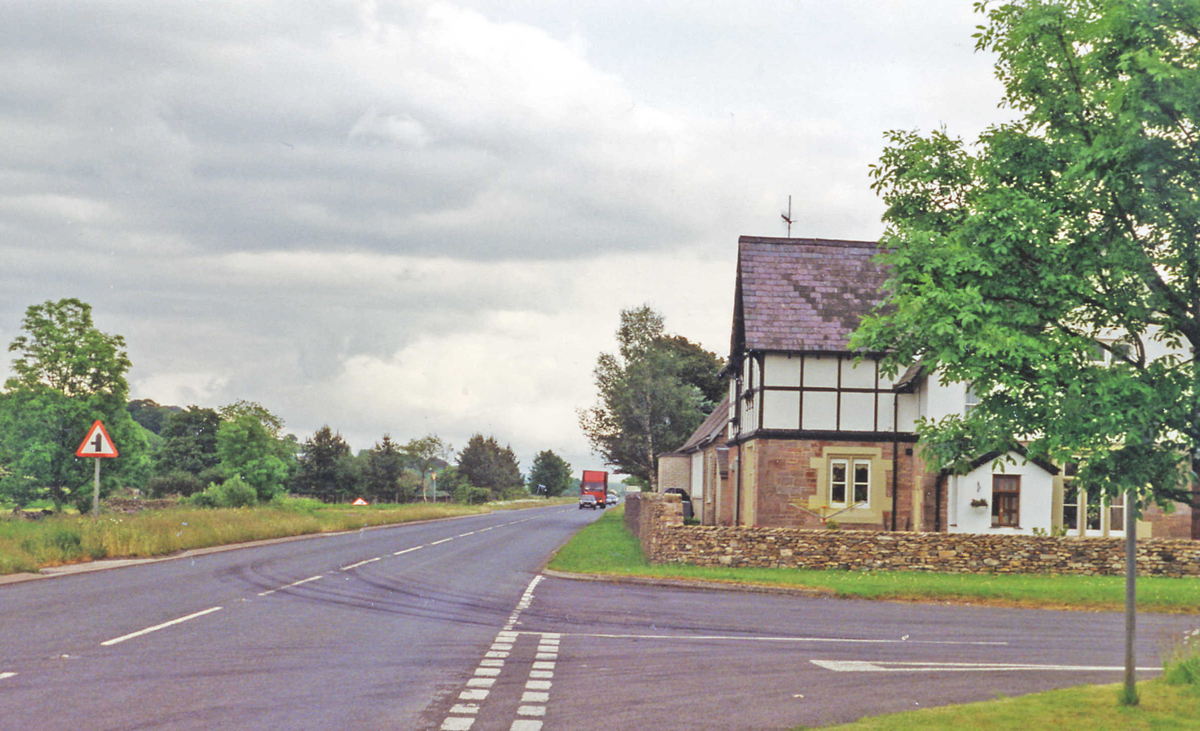
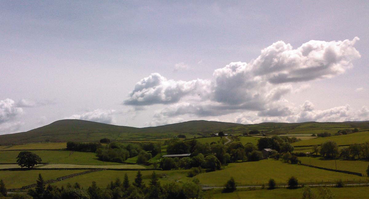
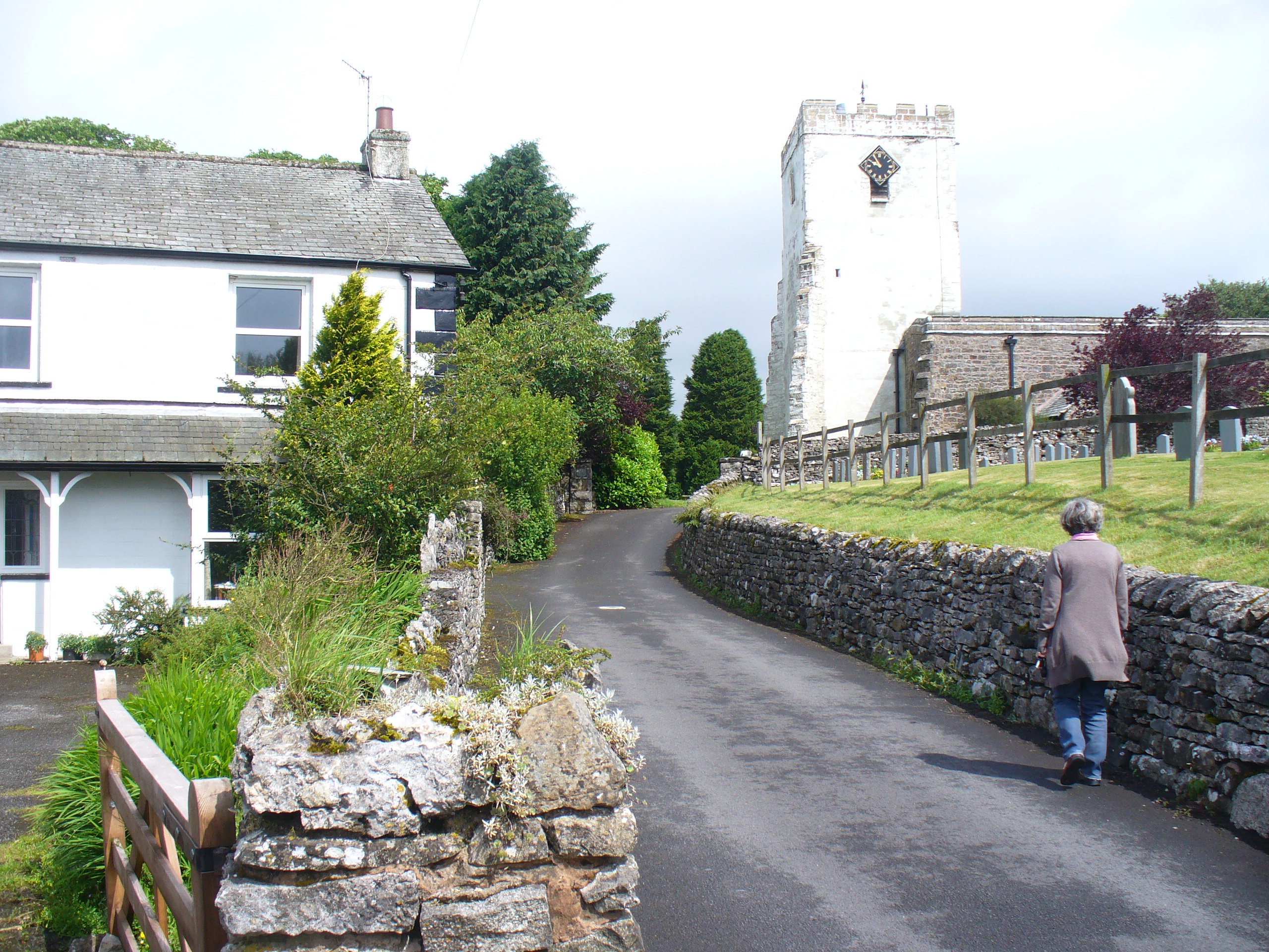
Barugh is a small village located in the district of Westmorland, in the county of Cumbria, in the northwest region of England. Situated in the picturesque Eden Valley, Barugh is nestled between the towns of Appleby and Kirkby Stephen. With a population of around 300 residents, it retains a charming and close-knit community atmosphere.
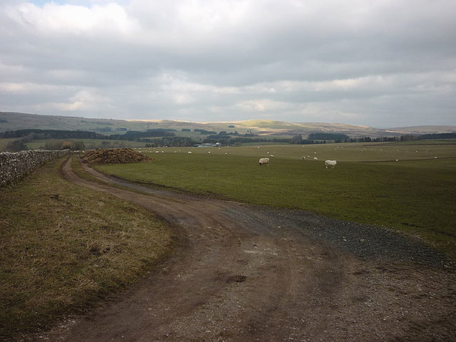
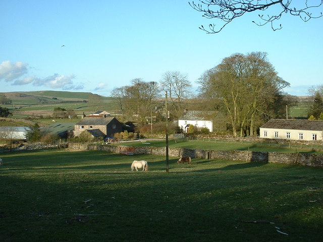
The village is characterized by its beautiful countryside surroundings, offering breathtaking views of the rolling hills and lush green landscapes that define the region. Barugh is known for its tranquil and peaceful ambiance, making it an ideal location for those seeking a rural retreat away from the hustle and bustle of urban life.
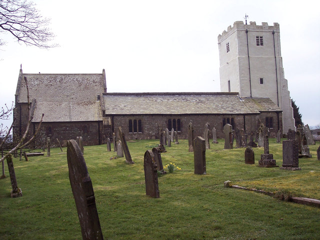
In terms of amenities, Barugh boasts a few essential services for its residents, including a local pub, a village hall, and a primary school. The village hall serves as a hub for community events, gatherings, and social activities, fostering a strong sense of community cohesion.
Barugh's location also makes it an attractive destination for nature enthusiasts and outdoor adventurers. The village is surrounded by numerous walking trails, offering opportunities for scenic hikes and exploration of the stunning natural beauty of the area.
Overall, Barugh is a charming rural village that offers a peaceful and idyllic setting for its residents. Its picturesque countryside, community spirit, and proximity to nature make it an appealing place to live or visit for those seeking a slower pace of life and a connection with the great outdoors.
If you have any feedback on the listing, please let us know in the comments section below.
Barugh Images
Images are sourced within 2km of 54.450619/-2.5570663 or Grid Reference NY6306. Thanks to Geograph Open Source API. All images are credited.


Barugh is located at Grid Ref: NY6306 (Lat: 54.450619, Lng: -2.5570663)
Administrative County: Cumbria
District: Eden
Police Authority: Cumbria
What 3 Words
///tractor.cuddling.issuer. Near Shap, Cumbria
Nearby Locations
Related Wikis

A685 road
The A685 is a road in Cumbria, England, that runs 28 miles (45 km) from Kendal to Brough. == Route == The A685 begins in Kendal town centre off the A6...
Gaisgill railway station
Gaisgill railway station was situated on the South Durham & Lancashire Union Railway between Tebay and Kirkby Stephen East. It served the village of Gaisgill...
Raisbeck
Raisbeck is a hamlet in the civil parish of Orton, in the Westmorland and Furness district of Cumbria, England. The surname Raisbeck originates from the...
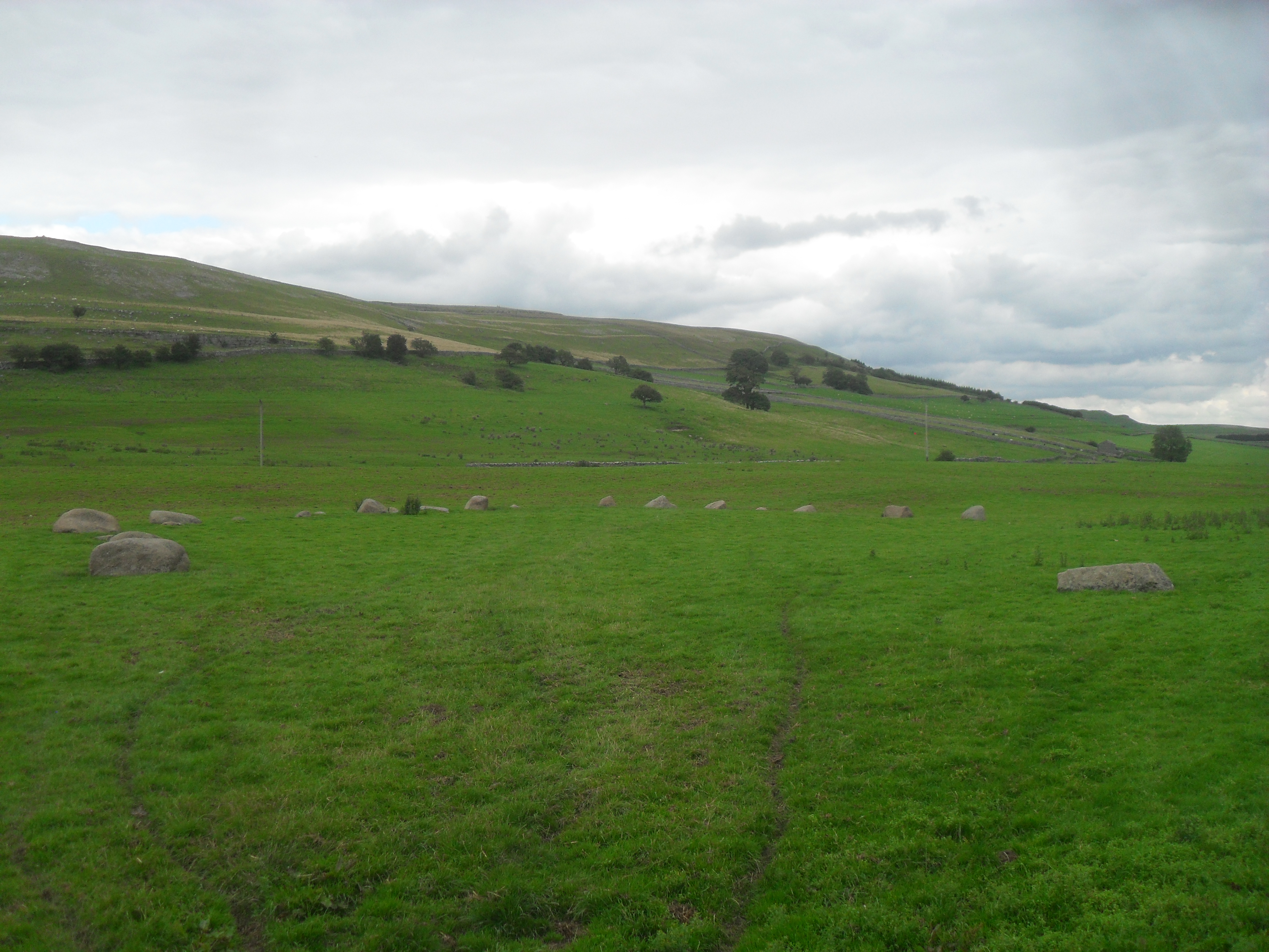
Gamelands stone circle
Gamelands stone circle (or Orton stone circle) is a stone circle at the foot of Knott Hill in Cumbria, England. The stones are mostly made of red granite...
Kelleth
Kelleth is a hamlet in Cumbria, England, containing around a dozen houses and formerly a toy factory. It is approximately 19 miles (31 km) from Penrith...
Orton, Westmorland and Furness
Orton is a village and civil parish in Cumbria, England. It lies 15 miles (24 km) south of Penrith, 8 miles (13 km) from Appleby-in-Westmorland and 1.5...
All Saints Church, Orton
All Saints Church is in the village of Orton, Cumbria, England. It is an active Anglican parish church in the deanery of Appleby, the archdeaconry of Carlisle...

Tebay
Tebay is a village and civil parish in Cumbria, England, within the historic borders of Westmorland. It lies in the upper Lune Valley, at the head of the...
Nearby Amenities
Located within 500m of 54.450619,-2.5570663Have you been to Barugh?
Leave your review of Barugh below (or comments, questions and feedback).