Barrow Island
Settlement in Lancashire Barrow-in-Furness
England
Barrow Island
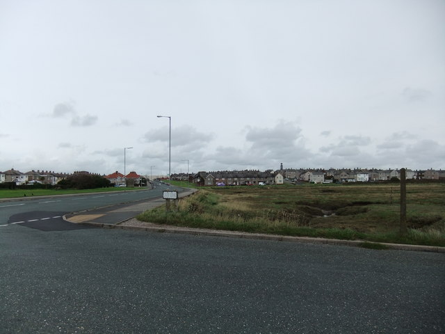
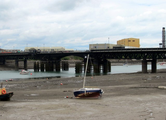
Barrow Island is a small urban area located in the town of Barrow-in-Furness, Lancashire, England. Situated on the southern tip of the Furness Peninsula, it is surrounded by the Irish Sea on three sides. The island is connected to the mainland by a narrow causeway and is approximately 3 miles long and 1 mile wide.
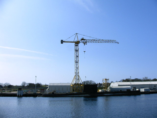
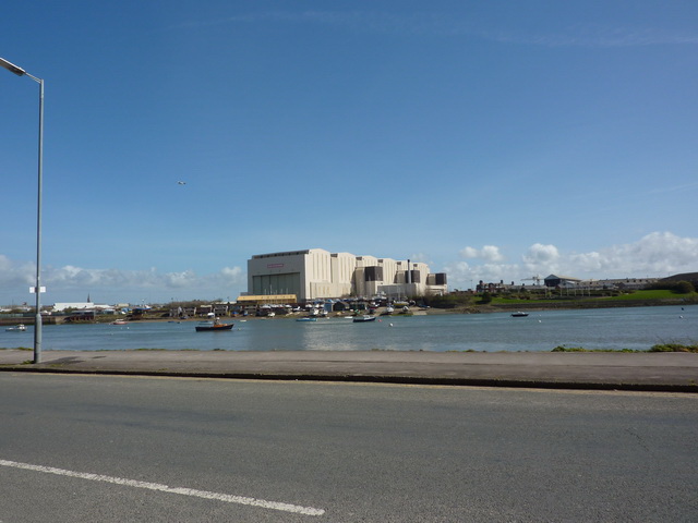
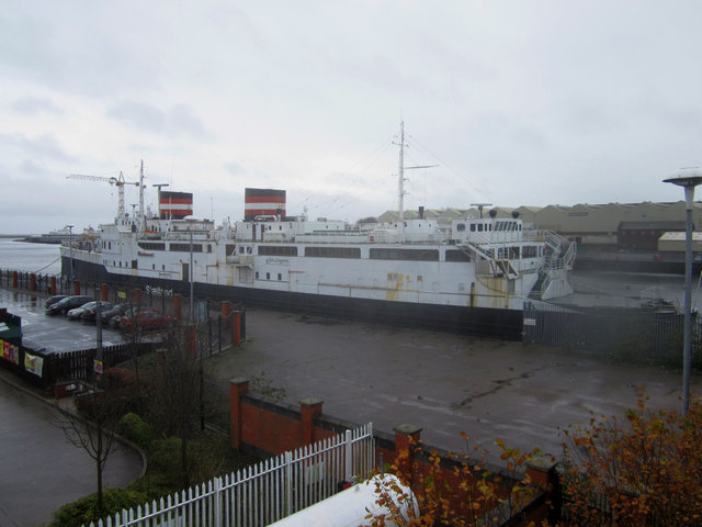
Historically, Barrow Island was known for its shipbuilding industry, dating back to the 19th century. It played a significant role in the construction of famous vessels, including the RMS Titanic and HMS Dreadnought. Today, the shipyard is still operational, although on a smaller scale, and continues to be a major employer in the area.
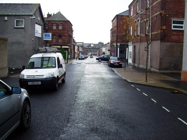
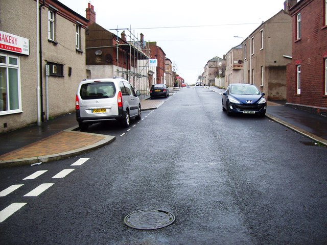
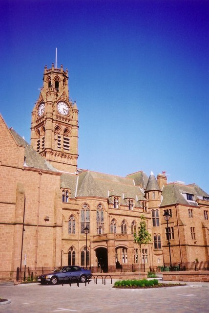
The island offers a mix of residential and industrial areas. It is characterized by rows of terraced houses built to accommodate shipyard workers. The island also has several schools, a library, and a community center, providing essential amenities to its residents.
Nature enthusiasts will appreciate the nearby coastal areas that offer scenic views and opportunities for outdoor activities. Piel Island, a small island located just off the coast of Barrow Island, is a popular tourist destination known for its castle and pub.
Barrow Island is well-connected to the rest of Barrow-in-Furness through road and rail links, making it easily accessible for both residents and visitors. The island's rich industrial heritage, combined with its natural beauty, makes it a unique and intriguing place to explore in Lancashire.
If you have any feedback on the listing, please let us know in the comments section below.
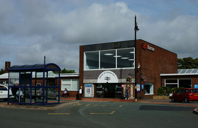
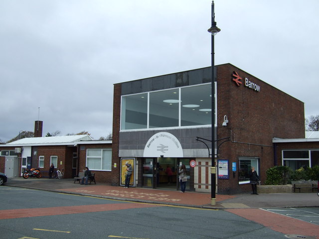
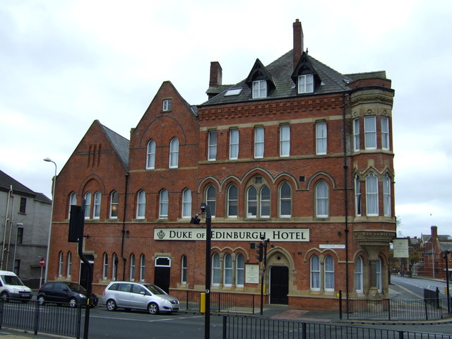
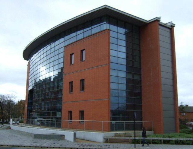
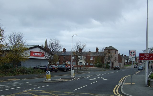
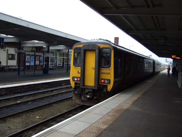
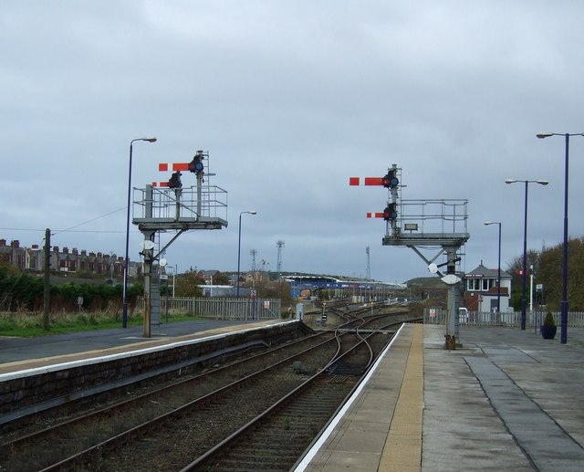
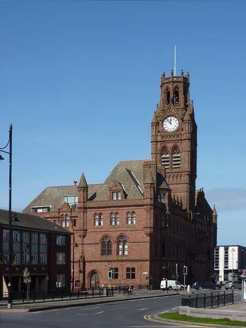
Barrow Island Images
Images are sourced within 2km of 54.10332/-3.2282423 or Grid Reference SD1968. Thanks to Geograph Open Source API. All images are credited.
Barrow Island is located at Grid Ref: SD1968 (Lat: 54.10332, Lng: -3.2282423)
Administrative County: Cumbria
District: Barrow-in-Furness
Police Authority: Cumbria
What 3 Words
///idea.town.weep. Near Barrow in Furness, Cumbria
Nearby Locations
Related Wikis

St John's Church, Barrow-in-Furness
St. John's Church is a church on Barrow Island, Barrow-in-Furness, Cumbria, England. It is a Grade II listed building. The church was built in 1934-1935...

Island Road railway station
Island Road railway station (also known as Barrow Shipyard and locally simply as Shipyard station) was a railway station at the centre of Barrow Island...
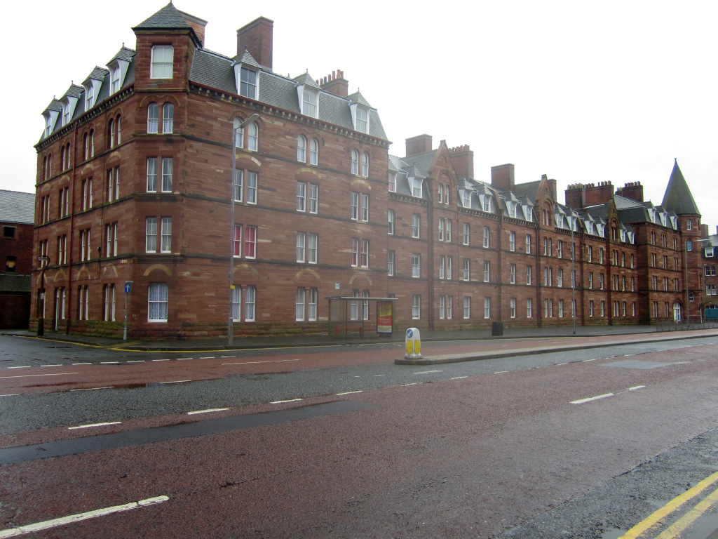
Devonshire Buildings
The Devonshire Buildings are two adjacent apartment buildings in the Barrow Island area of Barrow-in-Furness, Cumbria, England. They are both recorded...

Barrow Island, Barrow-in-Furness
Barrow Island is an area and electoral ward of Barrow-in-Furness, Cumbria, England. Originally separate from the British mainland, land reclamation in...
Nearby Amenities
Located within 500m of 54.10332,-3.2282423Have you been to Barrow Island?
Leave your review of Barrow Island below (or comments, questions and feedback).