Barrow Hill

Settlement in Essex Colchester

England

Barrow Hill

Seafront Gun Emplacement This Café is built in a WW2 gun emplacement. Until the early 1970's there were two at this point, the other was converted into a rain shelter. It became rather insanitary despite a public convenience a few yards away and so demolition ensued. Buses stopped terminating on the Esplanade in the 1950's for fear of them causing subsidence into the soldiers dormitories under the road. There is another closer view at <a href="https://www.geograph.org.uk/photo/2576024">TM0112 : Mersea Gun Shelter Café</a>
Seafront Gun Emplacement Credit: Glyn Baker

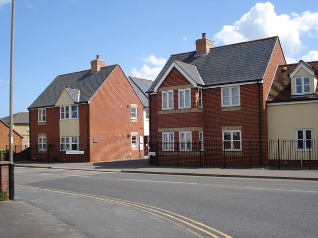
Barrow Hill is a small village located in the county of Essex, England. Situated about 3 miles northwest of the town of Braintree, it is nestled in the picturesque countryside of East Anglia. With a population of around 500 residents, Barrow Hill exudes a charming, close-knit community atmosphere.

The village is known for its idyllic setting, surrounded by rolling hills and meadows, offering breathtaking views of the Essex countryside. The area is rich with natural beauty, characterized by lush green landscapes and a peaceful ambiance. Barrow Hill is an ideal location for those seeking a tranquil retreat away from the hustle and bustle of city life.

Despite its small size, the village boasts a range of amenities to cater to its residents' needs. There is a local pub, The Barrow Inn, which serves as a popular meeting place for both locals and visitors. The pub offers a selection of traditional British dishes and ales, creating a welcoming environment for social gatherings.

Barrow Hill is also home to St. Mary's Church, a historic landmark dating back to the 12th century. This beautiful church features stunning architecture and is a significant part of the village's heritage.

The village benefits from excellent transport links, with the nearby A120 providing easy access to Braintree and other surrounding towns. Additionally, the railway station in Braintree offers direct connections to London Liverpool Street, making Barrow Hill an attractive location for commuters.

Overall, Barrow Hill, with its natural beauty, community spirit, and convenient location, offers a delightful place to call home or visit for a peaceful countryside experience.

If you have any feedback on the listing, please let us know in the comments section below.
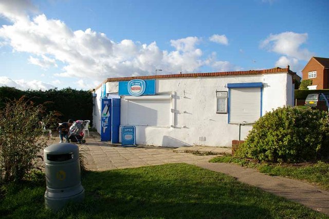
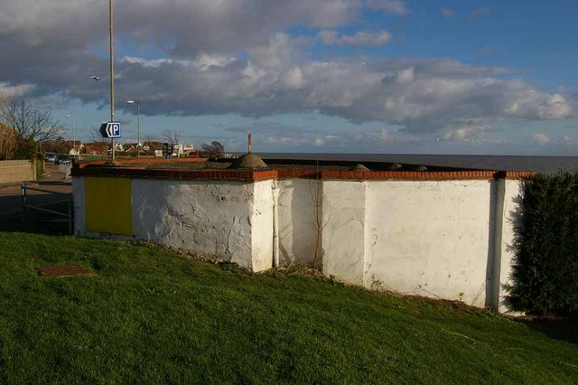
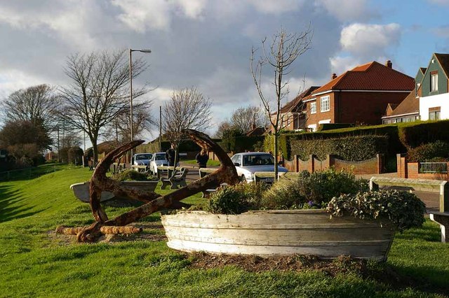
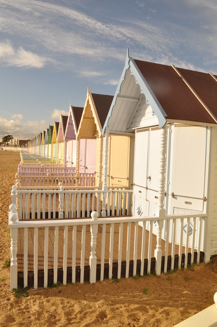
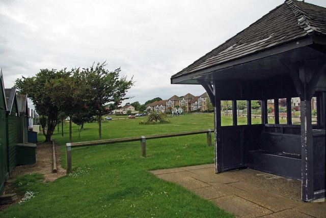
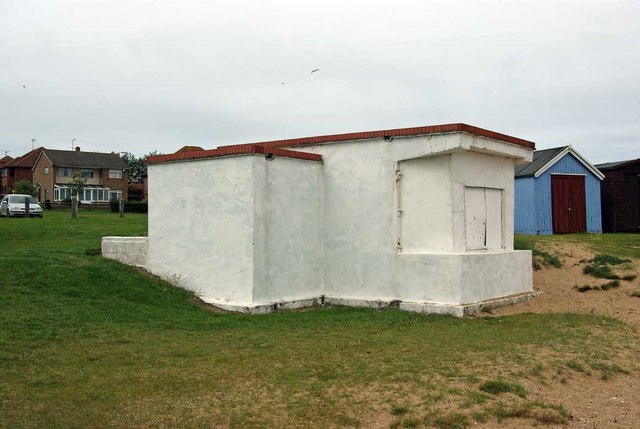
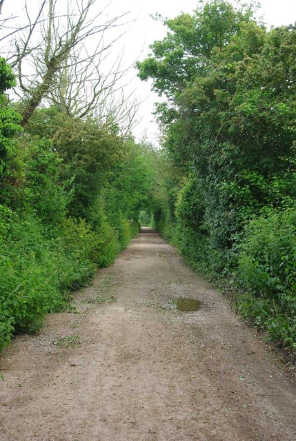
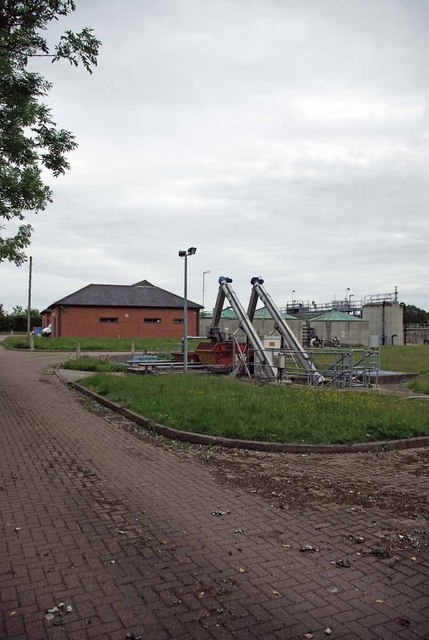
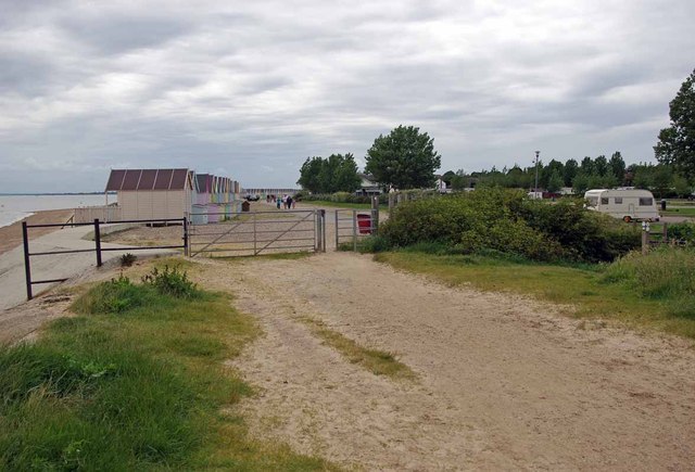
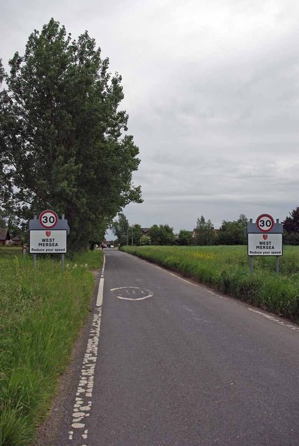
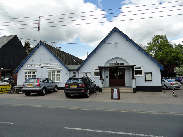
Barrow Hill Images

Images are sourced within 2km of 51.79047/0.93425055 or Grid Reference TM0214. Thanks to Geograph Open Source API. All images are credited.

Seafront Gun Emplacement This Café is built in a WW2 gun emplacement. Until the early 1970's there were two at this point, the other was converted into a rain shelter. It became rather insanitary despite a public convenience a few yards away and so demolition ensued. Buses stopped terminating on the Esplanade in the 1950's for fear of them causing subsidence into the soldiers dormitories under the road. There is another closer view at <a href="https://www.geograph.org.uk/photo/2576024">TM0112 : Mersea Gun Shelter Café</a>
Seafront Gun Emplacement
This Café is built in a WW2 gun emplacement. Until the early 1970's there were two at this point, the other was converted into a rain shelter. It became rather insanitary despite a public convenience a few yards away and so demolition ensued. Buses stopped terminating on the Esplanade in the 1950's for fear of them causing subsidence into the soldiers dormitories under the road. There is another closer view at TM0112 : Mersea Gun Shelter Café
Mersea Gun Shelter Café This is one of the last two remaining of four WW2 gun emplacements on West Mersea seafront. Three were converted to retail outlets and one to a rain shelter. The rough concrete has been rendered for aesthetic reasons. You can see the café from the other direction at <a href="https://www.geograph.org.uk/photo/2576004">TM0112 : Seafront Gun Emplacement</a>. There is a smaller version at <a href="https://www.geograph.org.uk/photo/2993027">TM0212 : Blockhouse Kiosk</a>
Mersea Gun Shelter Café
This is one of the last two remaining of four WW2 gun emplacements on West Mersea seafront. Three were converted to retail outlets and one to a rain shelter. The rough concrete has been rendered for aesthetic reasons. You can see the café from the other direction at TM0112 : Seafront Gun Emplacement. There is a smaller version at TM0212 : Blockhouse Kiosk
Victoria Esplanade West Mersea out of season (you can park on the front!)
Victoria Esplanade
West Mersea out of season (you can park on the front!)
Aerial View of the Grid This view of the grid and surrounding grids shows how isolated this area is.
Aerial View of the Grid
This view of the grid and surrounding grids shows how isolated this area is.
Pastel Beach Huts £25k for a shed!!!
Pastel Beach Huts
£25k for a shed!!!
Former Putting Green in the 1960's and 70's the greensward behind the shelter was a putting green.
Former Putting Green
in the 1960's and 70's the greensward behind the shelter was a putting green.
Blockhouse Kiosk This is a smaller version of the <a href="https://www.geograph.org.uk/photo/2576004">TM0112 : Seafront Gun Emplacement</a> further along the beach. It was for many years used as a kiosk for selling ice creams and buckets, spades and little paper flags for sand castles etc.
Blockhouse Kiosk
This is a smaller version of the TM0112 : Seafront Gun Emplacement further along the beach. It was for many years used as a kiosk for selling ice creams and buckets, spades and little paper flags for sand castles etc.
Cross Lane Bridleway This path leads to <a href="https://www.geograph.org.uk/photo/2993037">TM0212 : Mersea Sewage Works</a> and from there to <a href="https://www.geograph.org.uk/photo/2993038">TM0212 : Seaview Paths</a>
Cross Lane Bridleway
This path leads to TM0212 : Mersea Sewage Works and from there to TM0212 : Seaview Paths
Mersea Sewage Works Until this facility was built the collecting of cockles from West Mersea beach was  a bit of an extreme sport!
Mersea Sewage Works
Until this facility was built the collecting of cockles from West Mersea beach was a bit of an extreme sport!
Seaview Paths The pastel beach huts are in Seaview Holiday Park. There is a public right of way along the beach and behind the huts, <a href="https://www.geograph.org.uk/photo/2993032">TM0213 : Cross Lane Bridleway</a> bears off to the right.
Seaview Paths
The pastel beach huts are in Seaview Holiday Park. There is a public right of way along the beach and behind the huts, TM0213 : Cross Lane Bridleway bears off to the right.
Daws Lane The edge of West Mersea
Daws Lane
The edge of West Mersea
Mersea Island Royal British Legion Club In Barfield Road
Mersea Island Royal British Legion Club
In Barfield Road
Fountain Court West Mersea These residential properties were built on the site of The Fountain public house, hence the name. They are on the corner of the B1025 and East Road opposite the Police Station.
Fountain Court West Mersea
These residential properties were built on the site of The Fountain public house, hence the name. They are on the corner of the B1025 and East Road opposite the Police Station.
Charleston Court West Mersea Located in Seaview Avenue, these flats were built on the site of the former Two Tides public house. They were named after the landlord of the pub, (at his own request,) who sold the site for development.
Charleston Court West Mersea
Located in Seaview Avenue, these flats were built on the site of the former Two Tides public house. They were named after the landlord of the pub, (at his own request,) who sold the site for development.
West Mersea from the air With Strood Channel beyond. Viewed from a Heathrow bound flight from Prague.
West Mersea from the air
With Strood Channel beyond. Viewed from a Heathrow bound flight from Prague.
The Strood Tidal Road This tidal ford provides access to Mersea Island.
The Strood Tidal Road
This tidal ford provides access to Mersea Island.
Colourful Beach Huts West Mercea's colourful beach huts
Colourful Beach Huts
West Mercea's colourful beach huts
Fire Station Mersea Island
Fire Station
Mersea Island
Show me another place!

Barrow Hill is located at Grid Ref: TM0214 (Lat: 51.79047, Lng: 0.93425055)

Administrative County: Essex

District: Colchester

Police Authority: Essex

What 3 Words

///droplet.strict.toasters. Near West Mersea, Essex

Nearby Locations

Barrow Hill

Related Wikis

Barrow Hill, Essex

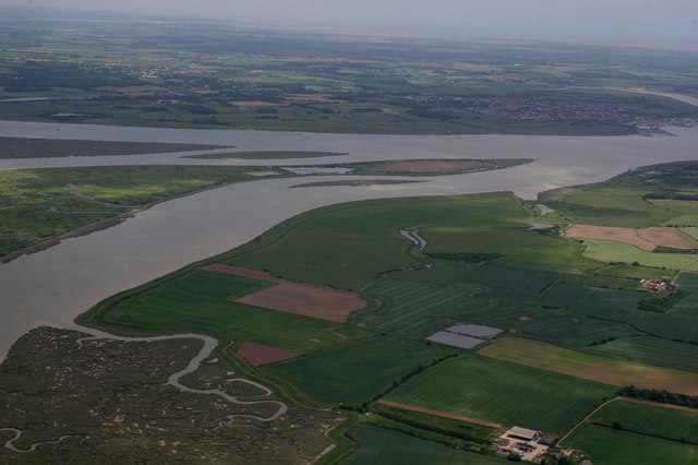
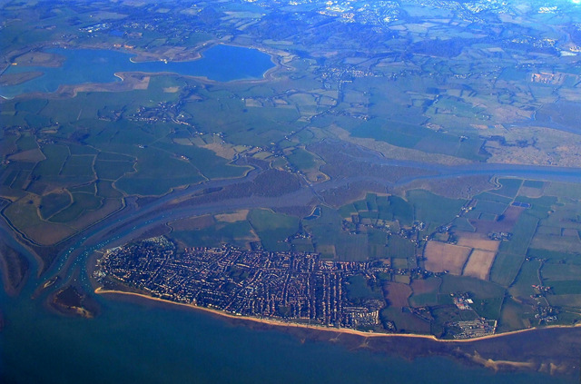
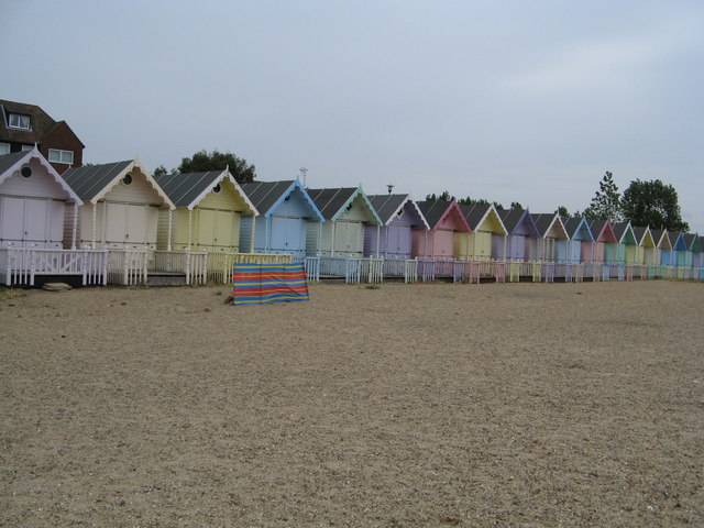
Barrow Hill is a hamlet in Essex, England. It is located on Mersea Island, approximately 2 km (1.2 mi) north-northeast of West Mersea near to where the...

Mersea Island

Mersea Island is an island in Essex, England, in the Blackwater and Colne estuaries to the south-east of Colchester. Its name comes from the Old English...
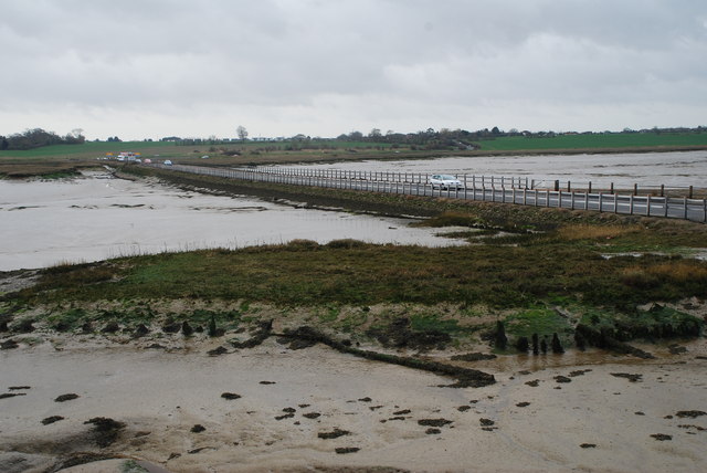
Ray Island

Ray Island, also known as the Ray, is a 40.5-hectare (100-acre) nature reserve west of Mersea Island in Essex. It is owned by the National Trust, who bought...
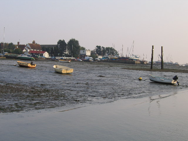
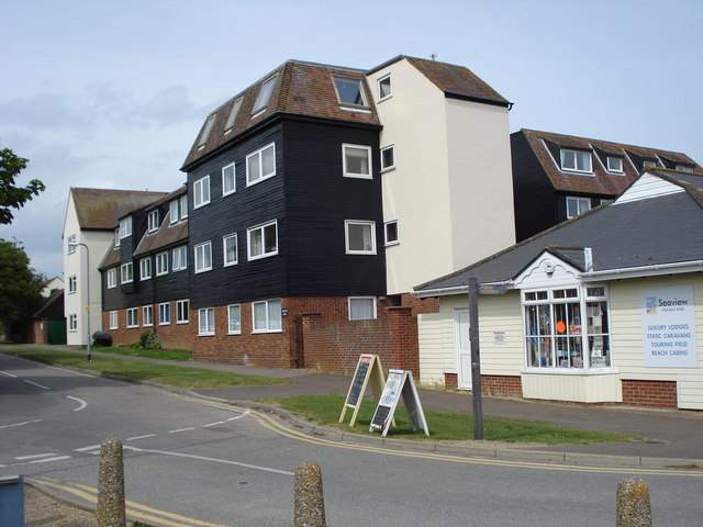
West Mersea

West Mersea is a town and electoral ward in Essex, England. It is the larger (in terms of population) of two settlements on Mersea Island, south of Colchester...

Nearby Amenities

Located within 500m of 51.79047,0.93425055
Bus Stop
Dawes Lane
Naptan AtcoCode: 150014013035
Naptan Bearing: E
Naptan CommonName: Dawes Lane
Naptan Crossing: Dawes Lane
Naptan Indicator: Opp
Naptan Landmark: Dawes Lane
Naptan NaptanCode: esxgdgwg
Naptan Street: East Mersea Road
Naptan Verified: no
Public Transport: platform
Source: naptan_import
Lat/Long: 51.7912922/0.929454
Bus Stop
Dawes Lane
Naptan AtcoCode: 150014013Y35
Naptan Bearing: W
Naptan BusStopType: CUS
Naptan CommonName: Dawes Lane
Naptan Crossing: Dawes Lane
Naptan Indicator: Adj
Naptan Landmark: Dawes Lane
Naptan NaptanCode: esxjdjga
Naptan Street: East Mersea Road
Naptan Verified: no
Public Transport: platform
Source: naptan_import
Lat/Long: 51.7912492/0.9290864
Bus Stop
Blue Row
Naptan AtcoCode: 1500IM2488
Naptan Bearing: E
Naptan BusStopType: CUS
Naptan CommonName: Blue Row
Naptan Indicator: Opp
Naptan Landmark: Blue Row
Naptan NaptanCode: esxgmwta
Naptan Street: East Mersea Road
Naptan Verified: no
Public Transport: platform
Source: naptan_import
Lat/Long: 51.7898797/0.9378301
Bus Stop
Blue Row
Naptan AtcoCode: 1500IM252
Naptan Bearing: W
Naptan BusStopType: CUS
Naptan CommonName: Blue Row
Naptan Indicator: o/s
Naptan Landmark: Blue Row
Naptan NaptanCode: esxadamp
Naptan Street: East Mersea Road
Naptan Verified: no
Public Transport: platform
Source: naptan_import
Lat/Long: 51.7897716/0.937475
Power: pole
Lat/Long: 51.7877392/0.939052
Power: pole
Lat/Long: 51.7886385/0.9337038
Power: pole
Lat/Long: 51.7883017/0.9317673
Power: pole
Lat/Long: 51.7892673/0.9373488
Power: pole
Lat/Long: 51.7890532/0.936166
Power: pole
Lat/Long: 51.7884925/0.9388669
Power: pole
Lat/Long: 51.7888477/0.9349649
Power: pole
Lat/Long: 51.7884825/0.9327758
Power: pole
Lat/Long: 51.7892955/0.9386095
Power: pole
Lat/Long: 51.790061/0.9385468
Power: pole
Lat/Long: 51.7882006/0.9311293
Power: pole
Lat/Long: 51.7879036/0.9298633
Power: pole
Lat/Long: 51.7876465/0.9286429
Power: pole
Lat/Long: 51.7898695/0.9374481
Power: pole
Lat/Long: 51.7898562/0.9361606
Barrow Hill
Place: locality
Wikidata: Q4863881
Lat/Long: 51.7919755/0.9302085
Mersea Mount
HE Ref: 1019019
Archaeological Site: tumulus
Historic: archaeological_site
Historic Civilization: ancient_roman
Source: visit;website
Website: https://historicengland.org.uk/listing/the-list/list-entry/1019019
Lat/Long: 51.7911217/0.9314015
Island Inflatables
Addr City: Colchester
Addr Housename: Unit 4b ,
Addr Postcode: CO5 8RF
Addr Street: Haycocks Farm
Operator: Island Inflatables
Phone: +44 1206 385205
Shop: party
Website: https://www.islandinflatables.co.uk
Lat/Long: 51.7931716/0.9372497
The data included in this document is from www.openstreetmap.org. The data is made available under ODbL.

Have you been to Barrow Hill?

Leave your review of Barrow Hill below (or comments, questions and feedback).