Barking Riverside
Settlement in Essex
England
Barking Riverside

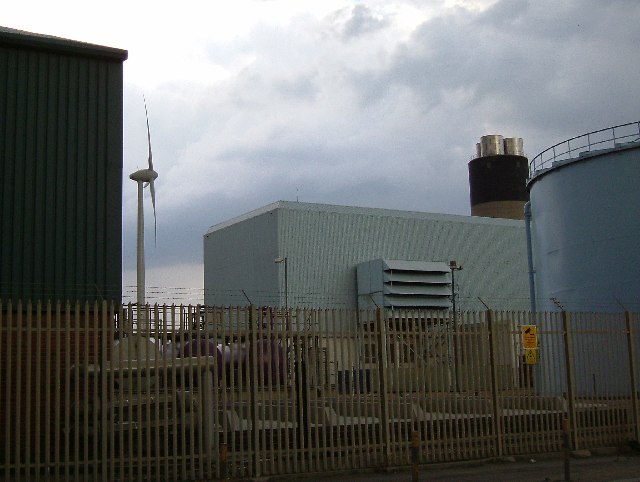
Barking Riverside is a suburban development located in the borough of Barking and Dagenham, Essex, England. Situated along the River Thames, it is one of the largest regeneration projects in Europe. The area was historically characterized by industrial use, including a power station and landfill site, but has been transformed into a thriving residential community.
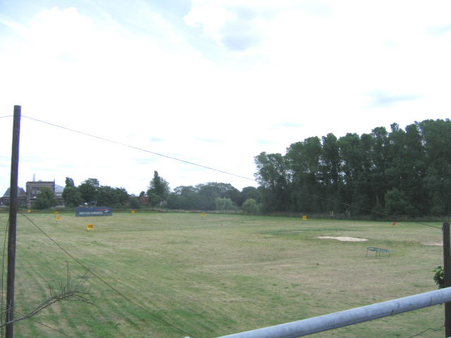
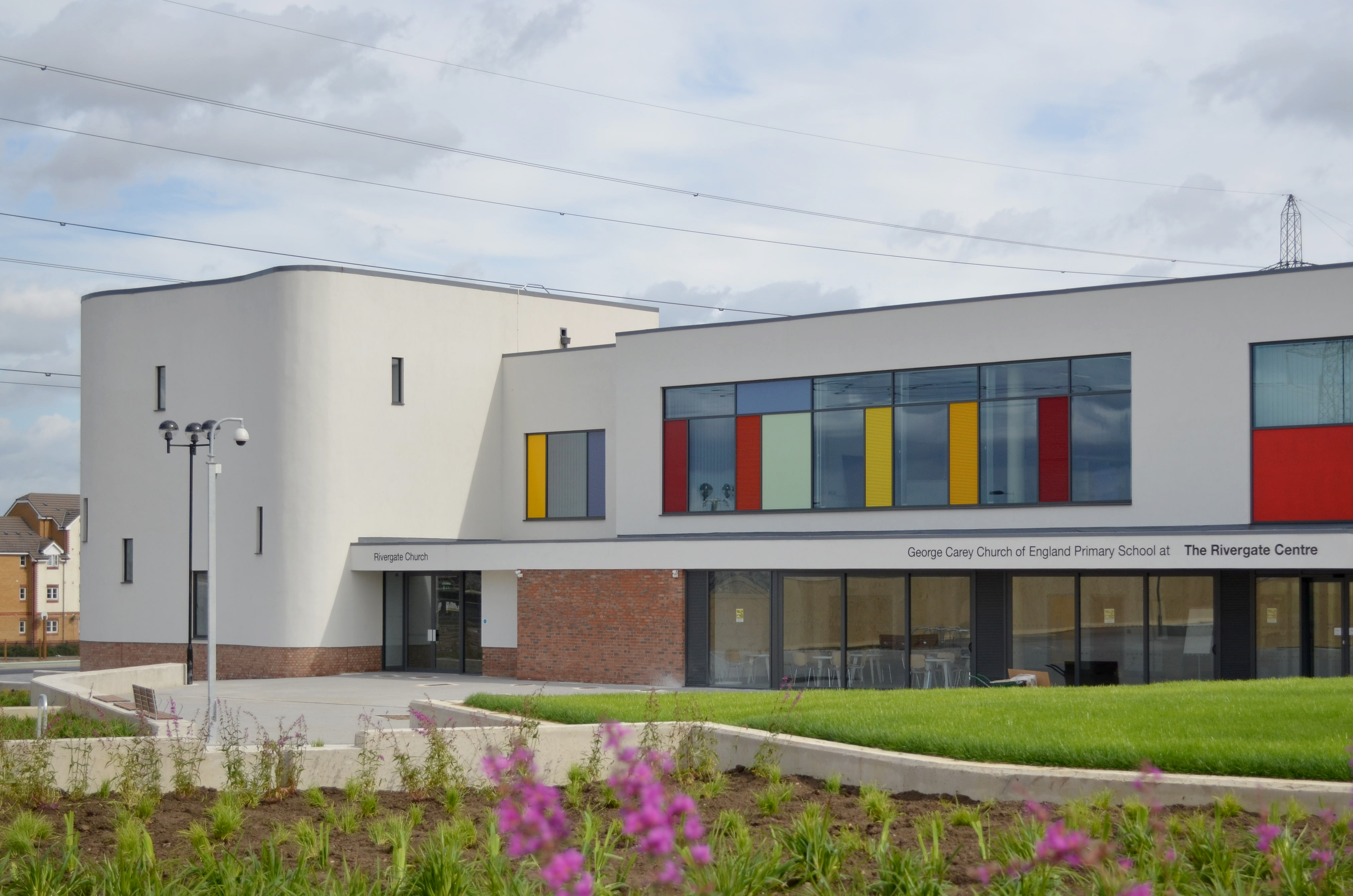
Covering an area of approximately 443 acres, Barking Riverside is being developed in multiple phases to create a diverse and sustainable neighborhood. The project aims to provide around 10,800 new homes upon completion, accommodating a population of over 26,000 residents. The development also includes commercial spaces, community facilities, schools, parks, and open spaces.
Transportation infrastructure has been a key focus of the project. The Barking Riverside Overground station, opened in 2021, connects the area to the London Overground network, providing easy access to central London. Additionally, plans are in place to extend the London Underground's District Line to Barking Riverside, further improving connectivity.
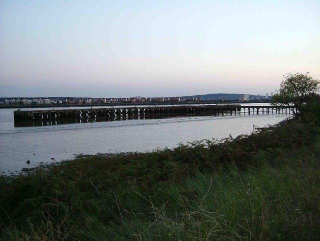
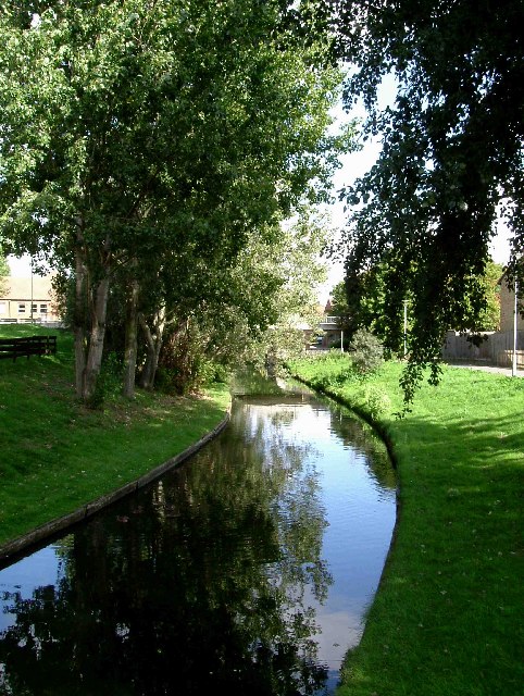
The design of Barking Riverside prioritizes sustainability and environmental considerations. Measures such as green roofs, rainwater harvesting, and energy-efficient homes contribute to the area’s eco-friendly approach. The development also emphasizes the preservation of the natural environment, incorporating the River Thames and its surrounding marshes into the landscape.
Barking Riverside offers a range of housing options, including affordable and shared ownership properties, aiming to create a diverse and inclusive community. The development is expected to provide new employment opportunities and enhance the local economy, contributing to the overall growth and prosperity of the borough of Barking and Dagenham.
If you have any feedback on the listing, please let us know in the comments section below.
Barking Riverside Images
Images are sourced within 2km of 51.520173/0.11579882 or Grid Reference TQ4682. Thanks to Geograph Open Source API. All images are credited.


Barking Riverside is located at Grid Ref: TQ4682 (Lat: 51.520173, Lng: 0.11579882)
Unitary Authority: Barking and Dagenham
Police Authority: Metropolitan
What 3 Words
///early.gain.sweep. Near Barking, London
Nearby Locations
Related Wikis
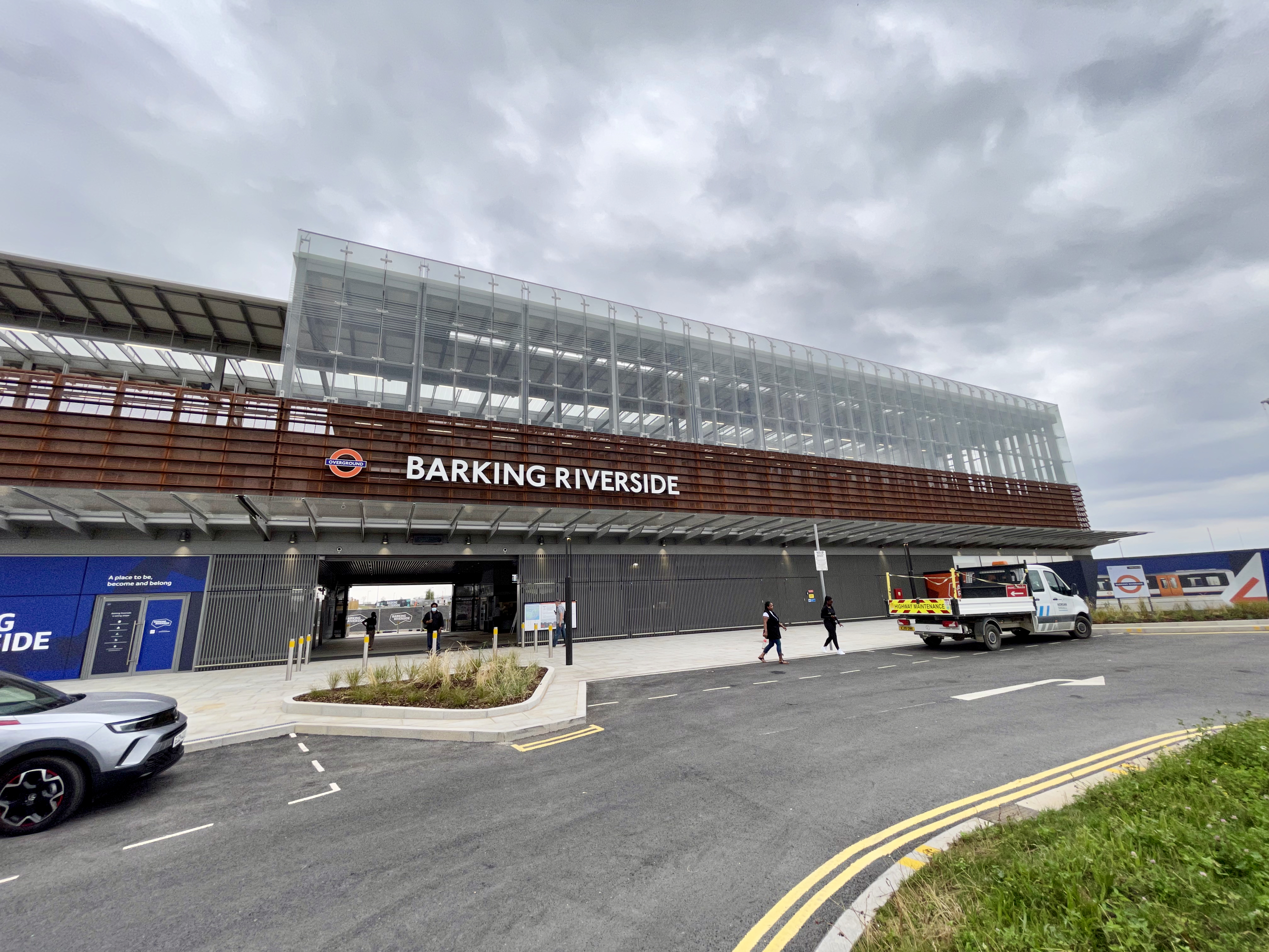
Barking Riverside railway station
Barking Riverside is a railway station in the London Borough of Barking and Dagenham, East London. The station serves the Barking Riverside regeneration...
Barking Riverside
Barking Riverside is a mixed-use development in the area of Barking, east London, England, within the London Borough of Barking and Dagenham. It is being...

London Riverside
The London Riverside is a redevelopment area on the north side of the River Thames in East London, England. The area was identified as a zone of change...
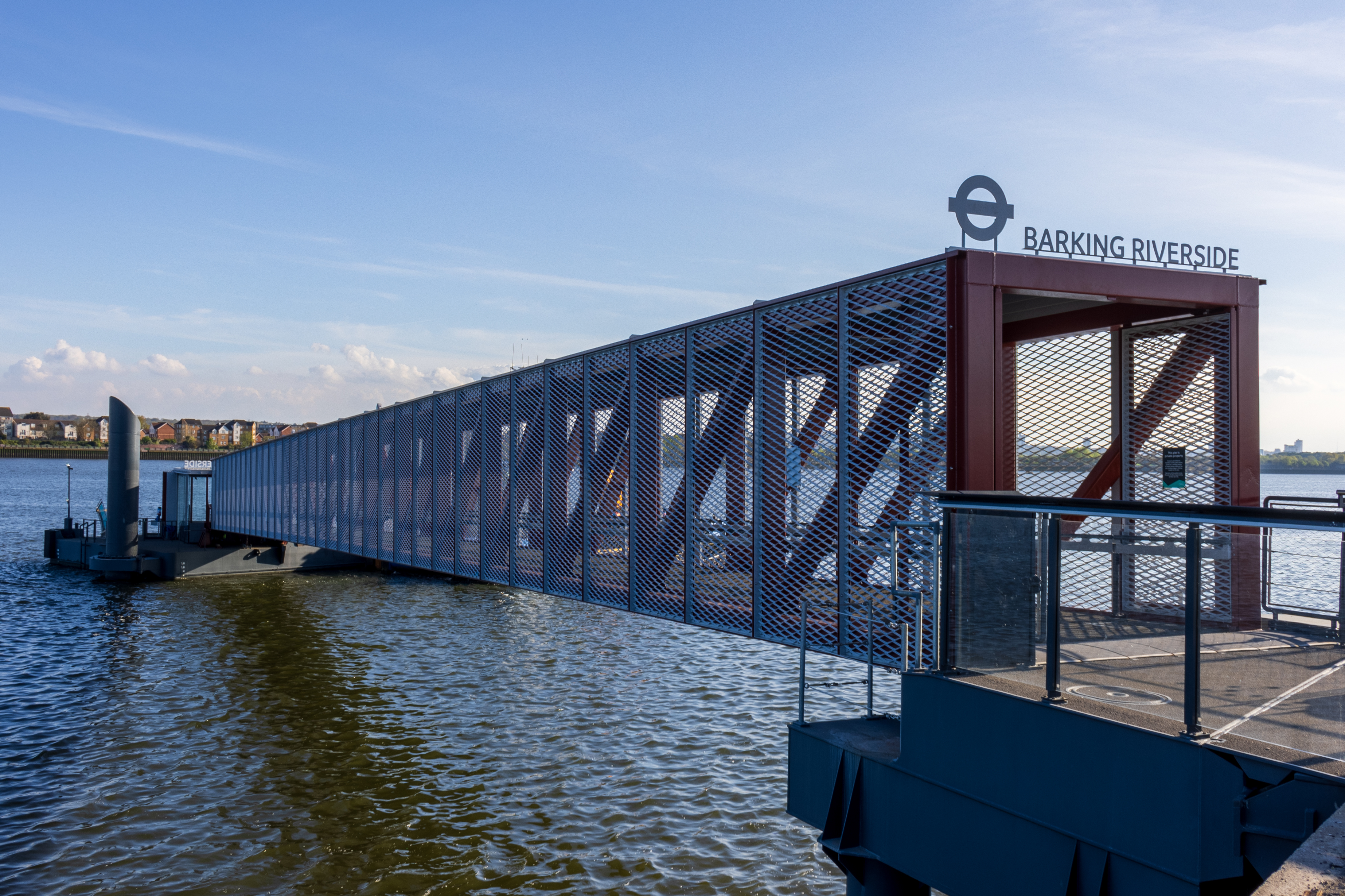
Barking Riverside Pier
Barking Riverside Pier is an Uber Boat by Thames Clippers commuter service pier located on the River Thames at Barking Riverside. Passenger services began...
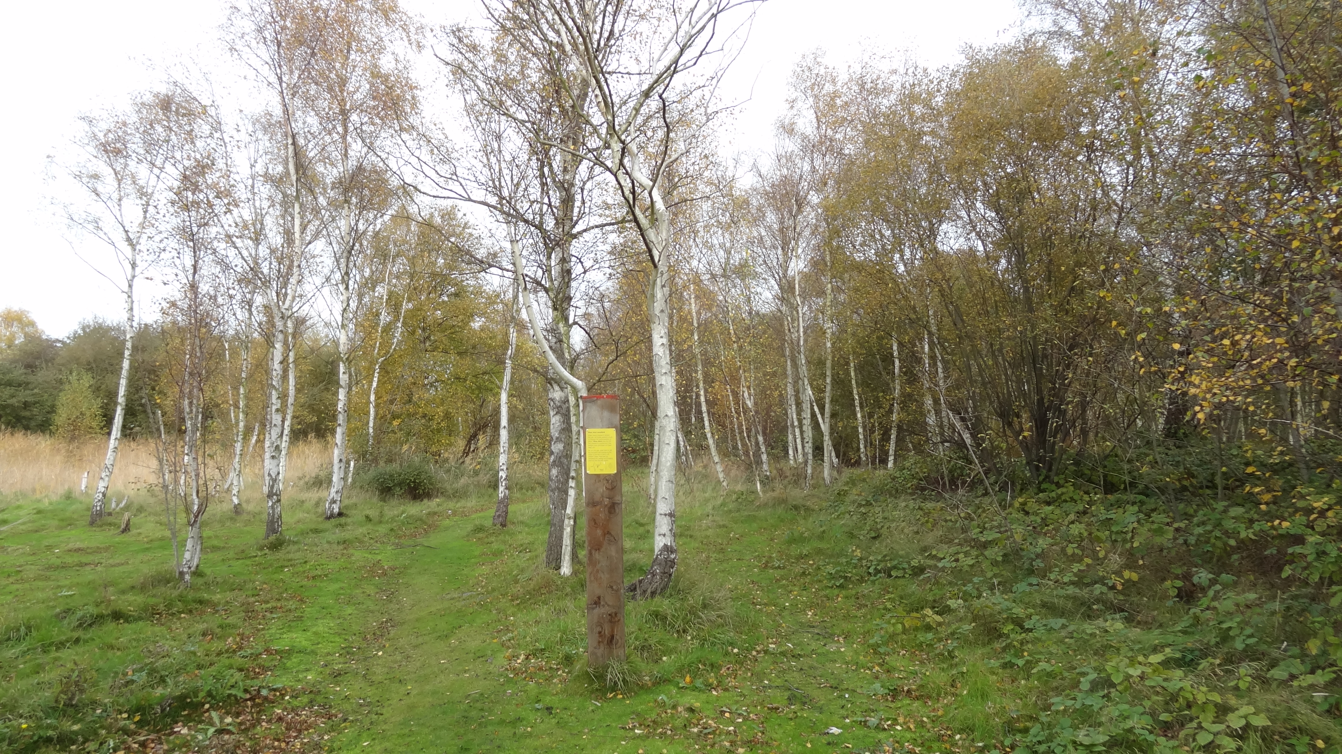
Ripple Nature Reserve
Ripple Nature Reserve is an 8.3-hectare (21-acre) Site of Metropolitan Importance for Nature Conservation and Local Nature Reserve in Dagenham in the London...

Thames (Barking and Dagenham ward)
Thames was a ward in the London Borough of Barking and Dagenham from 1978 to 2022. It returned two councillors until 2002 and then three councillors to...
Riverside School, Barking
Riverside Campus (also known as Riverside School) is an 11-18 mixed, secondary free school and selective sixth form situated in Barking Riverside, London...
Barking fire
The Barking fire was a structure fire that occurred on 9 June 2019 at a newly built six storey block of flats named Samuel Garside House, located in De...
Nearby Amenities
Located within 500m of 51.520173,0.11579882Have you been to Barking Riverside?
Leave your review of Barking Riverside below (or comments, questions and feedback).