Ballathie

Settlement in Perthshire

Scotland

Ballathie

Potato field, Kinclaven Defoliated and awaiting lifting.
Potato field, Kinclaven Credit: Richard Webb

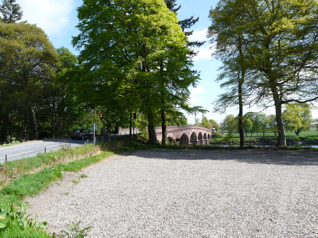
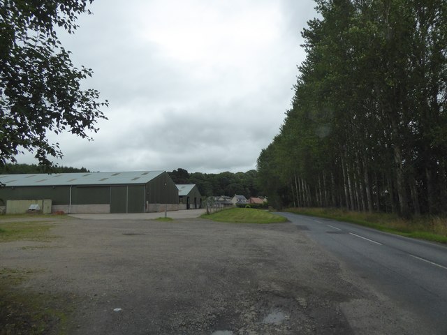
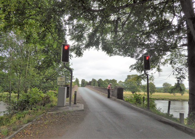
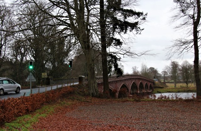
Ballathie is a small village located in the county of Perthshire, Scotland. Situated on the banks of the River Tay, it is nestled amidst the picturesque landscape of the Scottish Highlands. The village is part of the wider Blairgowrie and Rattray area, and is approximately 8 miles northeast of the town of Perth.

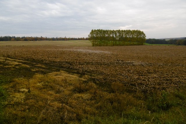
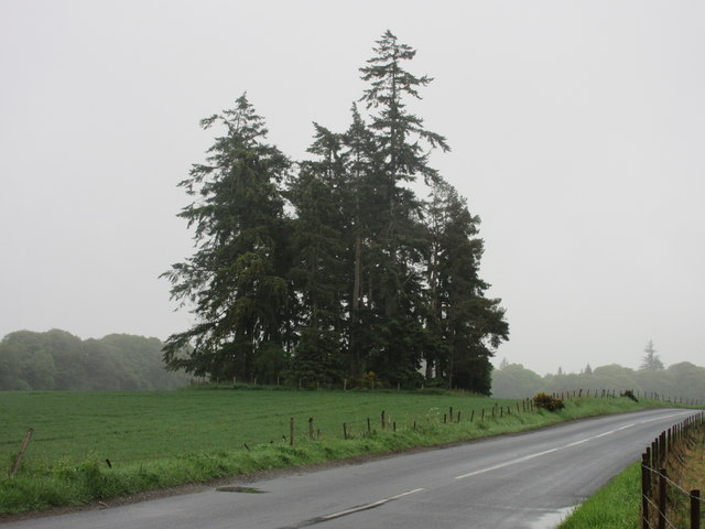
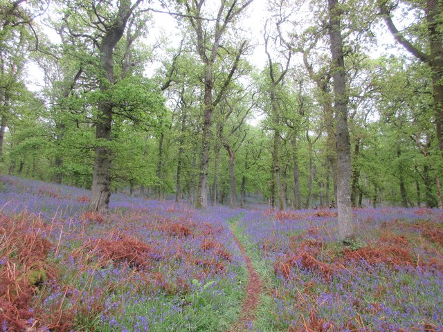
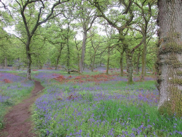
Ballathie is renowned for its natural beauty, with rolling hills, dense forests, and the scenic river providing a stunning backdrop. The area is popular among outdoor enthusiasts, offering ample opportunities for hiking, fishing, and birdwatching. The nearby Tay Forest Park is a particularly beloved spot for nature lovers.

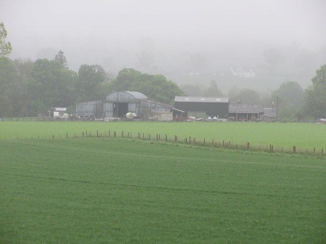
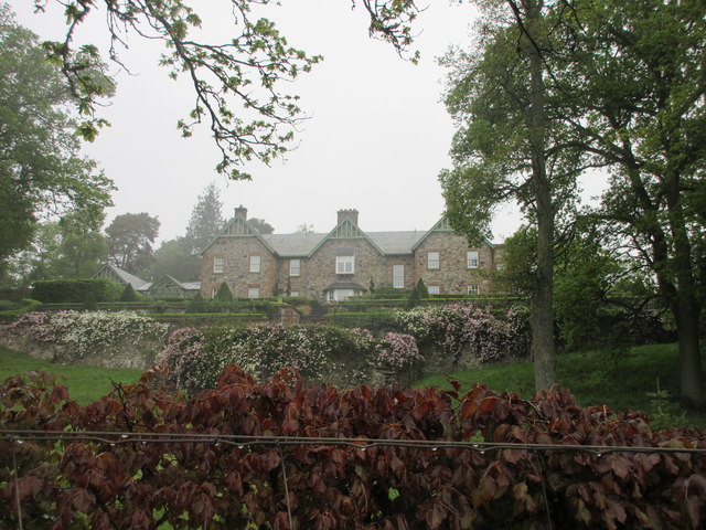
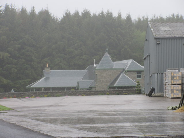
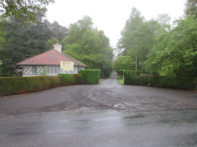
Historically, Ballathie has strong connections to the farming and fishing industries. The village has a charming rural character, with traditional stone buildings and a sense of tranquility. The Ballathie House Hotel, a grand country house dating back to the 19th century, is a notable landmark in the area and offers luxurious accommodation and fine dining.

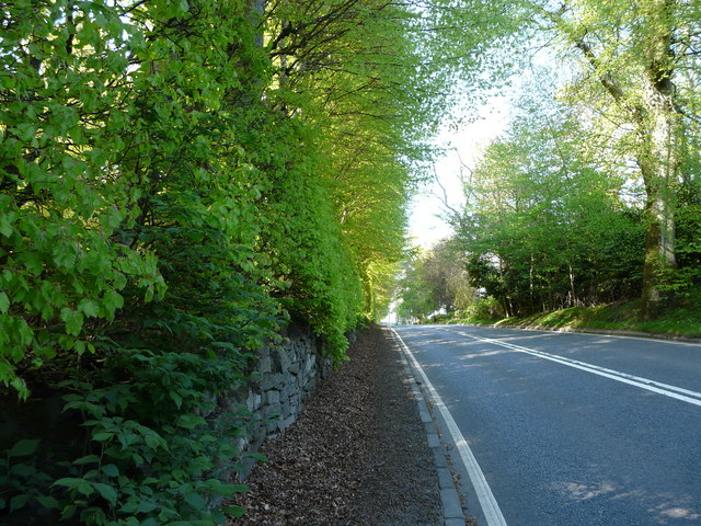
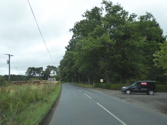
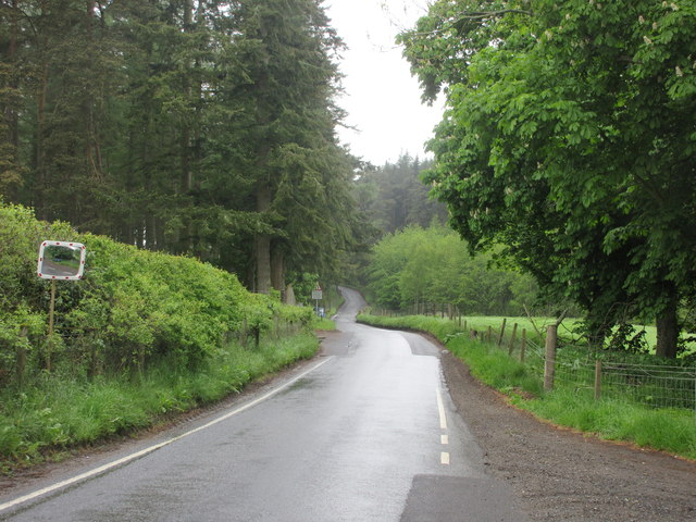
Despite its small size, Ballathie has a close-knit community, with a local primary school and a village hall serving as social hubs. The village is well-connected to the surrounding towns and cities via road networks, making it accessible for both residents and visitors.

Overall, Ballathie is a picturesque and peaceful village that offers a slice of rural Scottish life. With its stunning natural surroundings and rich history, it is a popular destination for those seeking a tranquil getaway in the heart of Perthshire.

If you have any feedback on the listing, please let us know in the comments section below.
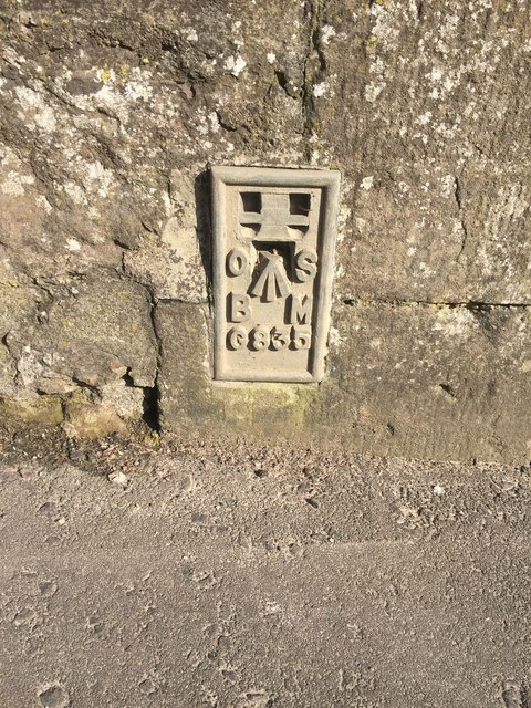
Ballathie Images

Images are sourced within 2km of 56.520783/-3.3895049 or Grid Reference NO1437. Thanks to Geograph Open Source API. All images are credited.

Potato field, Kinclaven Defoliated and awaiting lifting.
Potato field, Kinclaven
Defoliated and awaiting lifting.
Meiklour Beech Hedge
Traffic Lights at Kinclaven Bridge
Turning for Ballathie House Hotel
Farm buildings and road at Ballathie
Traffic lights at Kinclaven Bridge
Kinclaven Bridge over the Tay
Old Milestone by the A93, Cargill Stone post with plates by the A93, in parish of Cargill (Perth & Kinross District), Cargill, South of minor crossroads, Northwest side of road.

Inscription reads:-
: 1¾ / TO / BRIDGE / OF ISLA : : 9 / TO / PERTH :   

Surveyed

Milestone Society National ID: PK_PTBG09
Old Milestone by the A93, Cargill
Stone post with plates by the A93, in parish of Cargill (Perth & Kinross District), Cargill, South of minor crossroads, Northwest side of road. Inscription reads:- : 1¾ / TO / BRIDGE / OF ISLA : : 9 / TO / PERTH : Surveyed Milestone Society National ID: PK_PTBG09
Old Milestone by the A93, Mains of Cargill Milestone by the A93, in parish of Cargill (Perth & Kinross District), Mains of Cargill, on grass verge, North side of road.

Inscription once read:-
: (Bridge / of / Isla / ¾) : : (Perth / 10) :  

Surveyed

Milestone Society National ID: PK_PTBG10
Old Milestone by the A93, Mains of Cargill
Milestone by the A93, in parish of Cargill (Perth & Kinross District), Mains of Cargill, on grass verge, North side of road. Inscription once read:- : (Bridge / of / Isla / ¾) : : (Perth / 10) : Surveyed Milestone Society National ID: PK_PTBG10
Flush Bracket OSBM G835 on Bridge of Isla Ordnance Survey Flush Bracket OSBM G835 on Bridge of Isla
Flush Bracket OSBM G835 on Bridge of Isla
Ordnance Survey Flush Bracket OSBM G835 on Bridge of Isla
Copse near Kinclaven Isolated pine wood in a field south of Kinclaven.
Copse near Kinclaven
Isolated pine wood in a field south of Kinclaven.
Kinclaven Farm The farm buildings at Kinclaven, viewed from the north.
Kinclaven Farm
The farm buildings at Kinclaven, viewed from the north.
Balmains House Balmains viewed from the road below to the south.
Balmains House
Balmains viewed from the road below to the south.
Buildings at West Woodend Renovated building at West Woodend, viewed from the south.
Buildings at West Woodend
Renovated building at West Woodend, viewed from the south.
Entrance to Ballathie House Hotel The entrance to Ballathie House Hotel from the road to the west.
Entrance to Ballathie House Hotel
The entrance to Ballathie House Hotel from the road to the west.
Kinclaven to Murthly road Narrow wooded section of the road heading to Murthly from Kinclaven.
Kinclaven to Murthly road
Narrow wooded section of the road heading to Murthly from Kinclaven.
Bluebell Wood Bluebell woodland south of the Kinclaven to Murthly road.
Bluebell Wood
Bluebell woodland south of the Kinclaven to Murthly road.
Kinclaven Bluebell Wood Bluebell woodland to the west of Kinclaven.
Kinclaven Bluebell Wood
Bluebell woodland to the west of Kinclaven.
Show me another place!

Ballathie is located at Grid Ref: NO1437 (Lat: 56.520783, Lng: -3.3895049)

Unitary Authority: Perth and Kinross

Police Authority: Tayside

What 3 Words

///workshop.painting.grapevine. Near Stanley, Perth & Kinross

Nearby Locations

Ballathie Court Hill

Related Wikis

Ballathie House

Ballathie House is a 19th-century mansion in Perthshire, Scotland. It is located around 9 miles (14 km) north of Perth, and 5.5 miles (8.9 km) west of...

Ballathie railway station

Ballathie railway station served the hamlet of Ballathie, Perth and Kinross, Scotland from 1848 to 1868 on the Scottish Midland Junction Railway. ��2...

Cargill railway station

Cargill railway station was in the Scottish county of Perth and Kinross. The station was opened by the Scottish Midland Junction Railway running between...

River Isla, Perthshire

The River Isla (Scottish Gaelic: Abhainn Ìle) is a tributary of the River Tay in Angus and Perthshire, Scotland. It runs for 46 miles (74 km) through the...

Nearby Amenities

Located within 500m of 56.520783,-3.3895049
Ballathie
Place: hamlet
Lat/Long: 56.5210374/-3.3899584
Ballathie
1860name: Millhouse
Pont: no
Stobie1783: Mill town
Designation: Historic Mill
Historic: archaeological_site
Source: OS Six inch First Series
Lat/Long: 56.5199452/-3.3872742
Power: pole
Lat/Long: 56.5212167/-3.3936965
Power: pole
Lat/Long: 56.522052/-3.3937257
Power: pole
Lat/Long: 56.5229926/-3.3937706
Power: pole
Lat/Long: 56.5234933/-3.3938111
Power: pole
Lat/Long: 56.5242158/-3.3938852
Power: pole
Lat/Long: 56.5223358/-3.393009
Power: pole
Lat/Long: 56.5217012/-3.3922788
Power: pole
Lat/Long: 56.5211311/-3.3916025
Power: pole
Lat/Long: 56.5193553/-3.3825377
Power: pole
Lat/Long: 56.5193667/-3.3849194
Power: pole
Lat/Long: 56.5195328/-3.3857751
Power: pole
Lat/Long: 56.5195919/-3.3861318
Power: pole
Lat/Long: 56.5163635/-3.3890228
Power: pole
Lat/Long: 56.5170313/-3.3884392
Power: pole
Lat/Long: 56.5176672/-3.387899
Power: pole
Lat/Long: 56.5183622/-3.3873175
Power: pole
Lat/Long: 56.5189253/-3.3867422
Power: pole
Lat/Long: 56.5200879/-3.384907
Power: pole
Lat/Long: 56.5206771/-3.3839915
Power: pole
Lat/Long: 56.5212492/-3.3830904
Power: pole
Lat/Long: 56.521843/-3.3821748
Power: pole
Lat/Long: 56.5220921/-3.3819439
Bench
Backrest: no
Lat/Long: 56.5234009/-3.3940513
Historic: monument
Landmark: cairn
Lat/Long: 56.5235022/-3.3941496
Bench
Backrest: yes
Inscription: This grove has been sponsored by Golden Acre for a more sustainable future for all
Lat/Long: 56.5234479/-3.3927403
The data included in this document is from www.openstreetmap.org. The data is made available under ODbL.

Have you been to Ballathie?

Leave your review of Ballathie below (or comments, questions and feedback).