Court Hill
Hill, Mountain in Perthshire
Scotland
Court Hill
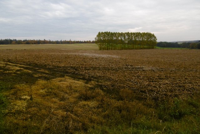
Court Hill is a prominent hill located in the county of Perthshire, Scotland. Situated near the village of Kinrossie, the hill is part of the Sidlaw Hills range, which extends across the eastern part of the county. Court Hill stands at an elevation of approximately 395 meters (1,296 feet) above sea level.
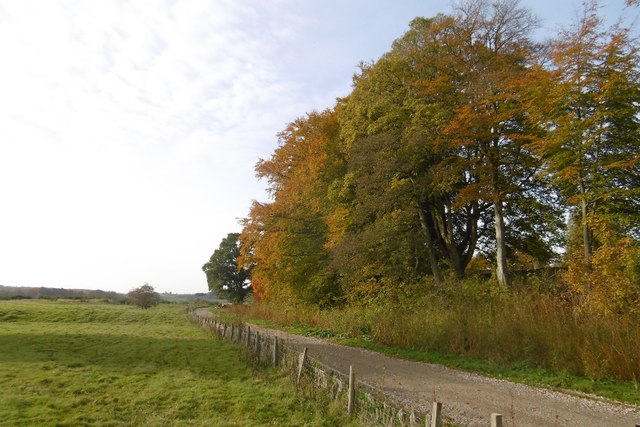
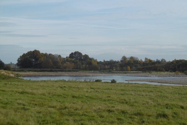
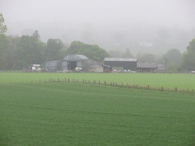
The hill offers breathtaking panoramic views of the surrounding countryside, including the fertile farmlands of Perthshire, the rolling Sidlaw Hills, and the distant peaks of the Grampian Mountains. Its vantage point makes it a popular destination for hikers, nature enthusiasts, and photographers.
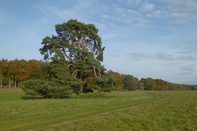
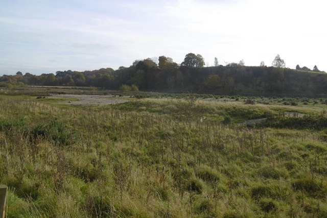
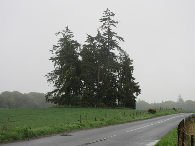
Covered in a patchwork of heather, grasses, and scattered trees, Court Hill supports a diverse range of flora and fauna. The hillside is home to a variety of birds, including buzzards, kestrels, and pheasants. Visitors may also come across deer, rabbits, and other small mammals as they explore the area.
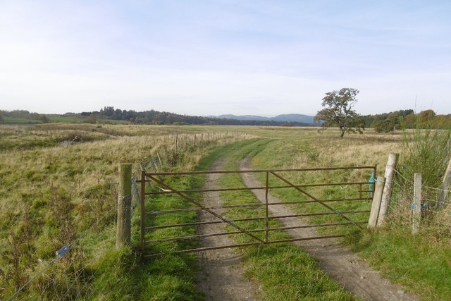
Several footpaths and trails traverse Court Hill, providing opportunities for outdoor activities such as walking, hiking, and mountain biking. The hill is easily accessible from the nearby villages and towns, making it a popular destination for locals and tourists alike.
With its stunning views, rich biodiversity, and recreational opportunities, Court Hill in Perthshire offers a captivating experience for those seeking to immerse themselves in the natural beauty of the Scottish countryside.
If you have any feedback on the listing, please let us know in the comments section below.
Court Hill Images
Images are sourced within 2km of 56.524437/-3.3970026 or Grid Reference NO1437. Thanks to Geograph Open Source API. All images are credited.
Court Hill is located at Grid Ref: NO1437 (Lat: 56.524437, Lng: -3.3970026)
Unitary Authority: Perth and Kinross
Police Authority: Tayside
What 3 Words
///torso.supporter.scratches. Near Stanley, Perth & Kinross
Nearby Locations
Related Wikis

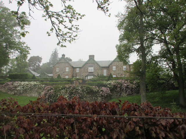
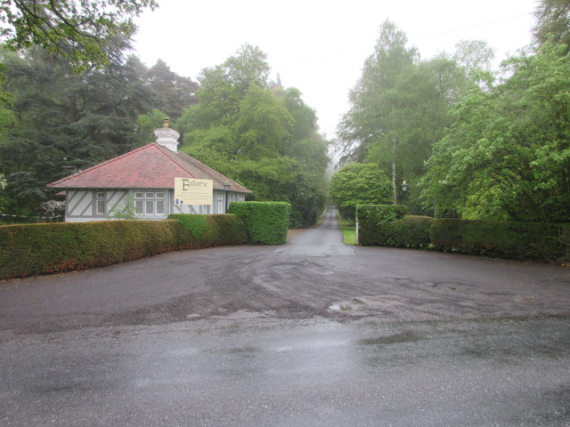
Ballathie House
Ballathie House is a 19th-century mansion in Perthshire, Scotland. It is located around 9 miles (14 km) north of Perth, and 5.5 miles (8.9 km) west of...

Ballathie railway station
Ballathie railway station served the hamlet of Ballathie, Perth and Kinross, Scotland from 1848 to 1868 on the Scottish Midland Junction Railway. ��2...
River Isla, Perthshire
The River Isla (Scottish Gaelic: Abhainn Ìle) is a tributary of the River Tay in Angus and Perthshire, Scotland. It runs for 46 miles (74 km) through the...

Cargill railway station
Cargill railway station was in the Scottish county of Perth and Kinross. The station was opened by the Scottish Midland Junction Railway running between...
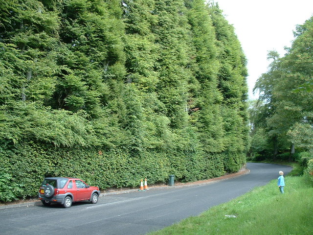
Meikleour Beech Hedges
The Meikleour Beech Hedge(s) (European Beech = Fagus sylvatica), located near Meikleour, Perth and Kinross, Scotland, was planted in the autumn of 1745...

Meikleour
Meikleour ( mi-KLOOR) is a village in Perth and Kinross, Scotland. It lies near the confluence of the Tay and the Isla in the valley of Strathmore, 12...

Meikleour Arms
Meikleour Arms (also known as the Meikleour Arms Hotel) is a Category B listed building in Meikleour, Perth and Kinross, Scotland. It dates to 1820, and...

Inchtuthil
Inchtuthil is the site of a Roman legionary fortress situated on a natural platform overlooking the north bank of the River Tay southwest of Blairgowrie...
Nearby Amenities
Located within 500m of 56.524437,-3.3970026Have you been to Court Hill?
Leave your review of Court Hill below (or comments, questions and feedback).