Badbrook
Settlement in Gloucestershire Stroud
England
Badbrook
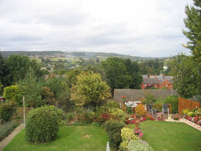
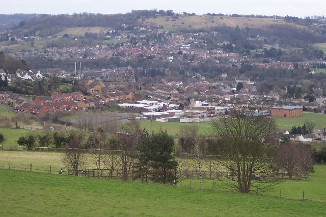
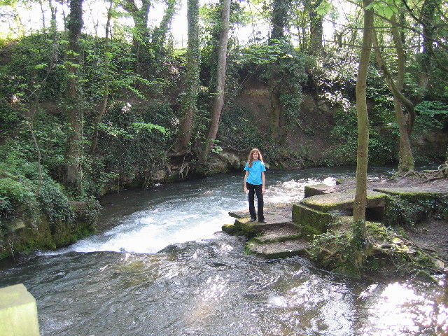
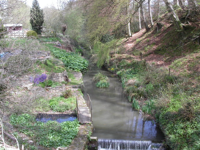
Badbrook is a district located in the town of Stroud, Gloucestershire, England. It is situated on the banks of the River Frome, a tributary of the River Severn. The area is primarily residential, with a mix of housing types ranging from Victorian terraces to modern developments.
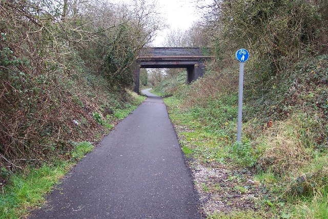
Badbrook is known for its close proximity to the bustling town center of Stroud, which offers a wide range of amenities, including shops, restaurants, and cultural attractions. The district benefits from excellent transport links, with nearby access to the A46 road, connecting it to other major towns and cities in the region.
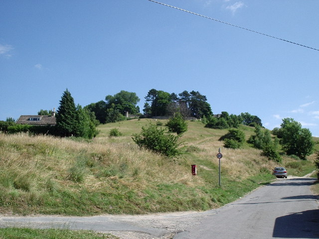
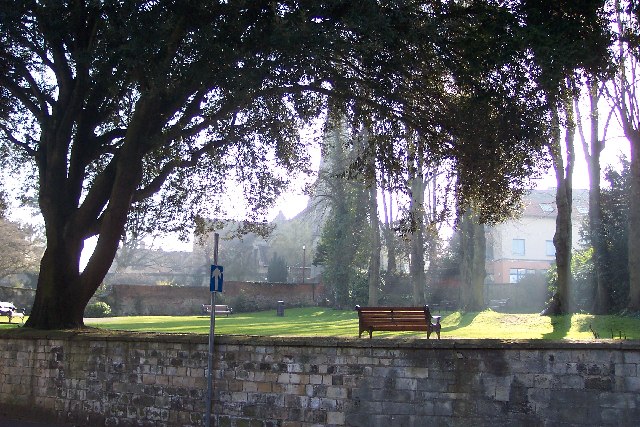
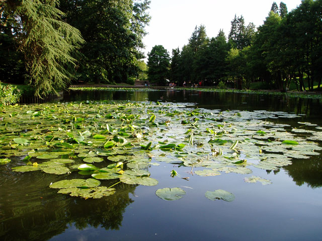
The area is also rich in natural beauty, with stunning countryside and rolling hills surrounding the district. Residents and visitors can enjoy scenic walks along the river, explore nearby woodlands, or take in the panoramic views from the nearby Selsley Common.
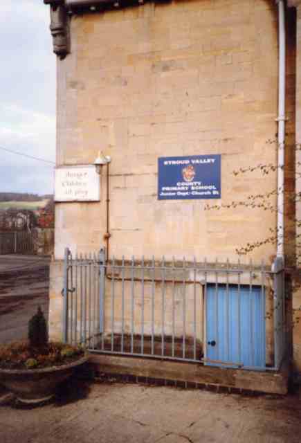
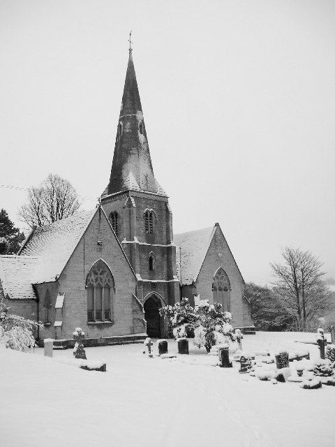
Badbrook has a strong sense of community, with local schools, churches, and community centers providing opportunities for residents to come together and engage in various activities. The district also benefits from a range of local services, including healthcare facilities, supermarkets, and recreational areas.
Overall, Badbrook offers a peaceful and picturesque setting, combined with the convenience of easy access to urban amenities. It is an attractive place to live for those seeking a balance between rural charm and modern conveniences.
If you have any feedback on the listing, please let us know in the comments section below.
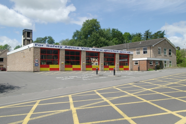
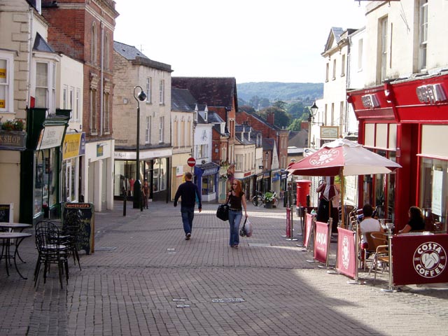
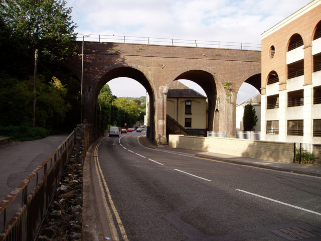
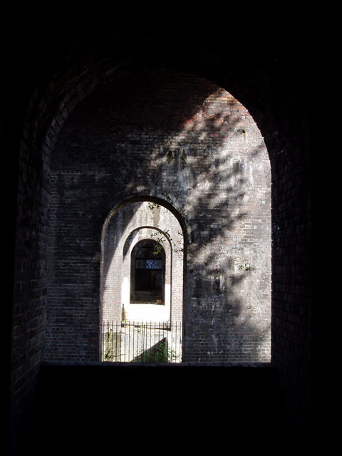
Badbrook Images
Images are sourced within 2km of 51.748915/-2.2160574 or Grid Reference SO8505. Thanks to Geograph Open Source API. All images are credited.

Badbrook is located at Grid Ref: SO8505 (Lat: 51.748915, Lng: -2.2160574)
Administrative County: Gloucestershire
District: Stroud
Police Authority: Gloucestershire
What 3 Words
///balanced.suspect.cabs. Near Stroud, Gloucestershire
Nearby Locations
Related Wikis

Stroud District
Stroud District is a local government district in Gloucestershire, England. The district is named after its largest town of Stroud. The council is based...

Old Town Hall, Stroud
The Old Town Hall is a municipal building in The Shambles, Stroud, Gloucestershire, England. The town hall, which was the headquarters of Stroud Urban...
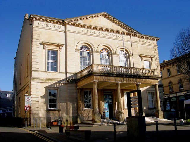
Subscription Rooms
The Subscription Rooms is a building in George Street at the centre of the town of Stroud, Gloucestershire, England, erected in 1833 under the architect...

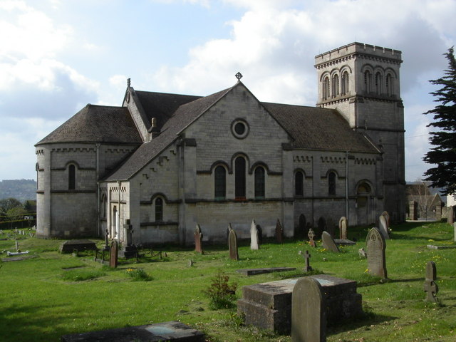
Church of All Saints, Stroud
The Church of All Saints is a Church of England parish church in the Uplands area of Stroud, Gloucestershire. The church is a Grade I listed building....
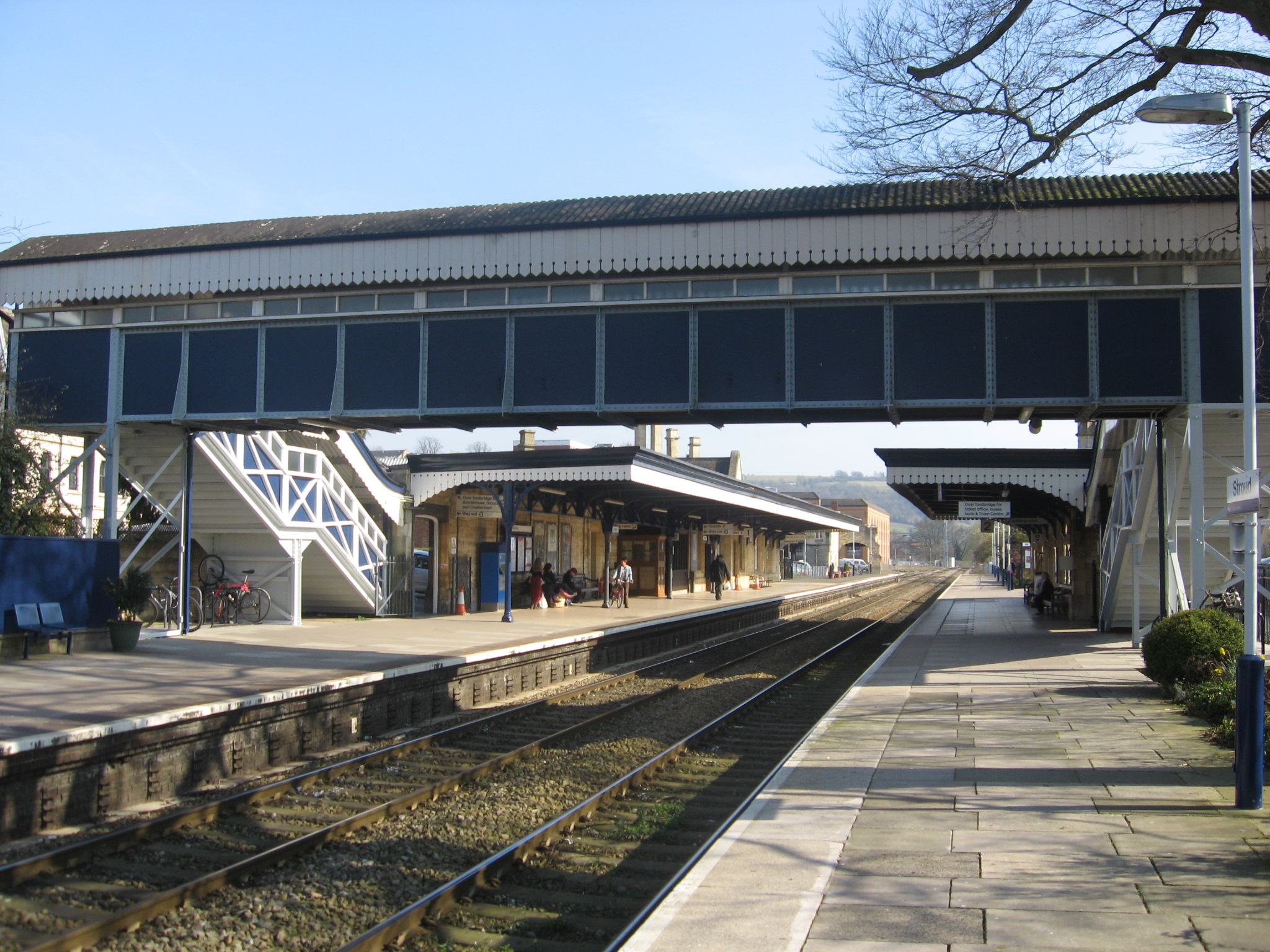
Stroud railway station
Stroud railway station serves the market town of Stroud in Gloucestershire, England. It is a stop on the Gloucester–Swindon Golden Valley Line and was...
Stroud
Stroud is a market town and civil parish in Gloucestershire, England. It is the main town in Stroud District. The town's population was 13,500 in 2021...

Rodborough
Rodborough is a large village and civil parish in the district of Stroud, Gloucestershire, in South West England. It is directly south of the town of Stroud...

Blackboy Clock
The Blackboy Clock is a clock in Stroud, Gloucestershire, England. It is a jacquemart (Jack clock), with a Black boy figurine with a club that strikes...
Related Videos

🇬🇧 Stroud Strolls: Exploring the Heart of the Cotswolds on a Walking Adventure!
Welcome to Stroud Strolls: Exploring the Heart of the Cotswolds on a Walking Adventure!** Join us on a virtual journey through ...
![#walking in the #cotswolds Training day 2 in support of #healthcareworkers [EP:003]](https://i.ytimg.com/vi/gL-00Gn-U6k/hqdefault.jpg)
#walking in the #cotswolds Training day 2 in support of #healthcareworkers [EP:003]
Here we are training in the Cotswolds for the Cambrian Way Challenge, in support of Healthcare Workers' Foundation. We walk ...

Cotswold Weekend Away June 2023
7 of us (plus the dog Alfie) went away for the weekend and stayed in the Cotswolds. We explored Stroud, Gloucester and ...
Nearby Amenities
Located within 500m of 51.748915,-2.2160574Have you been to Badbrook?
Leave your review of Badbrook below (or comments, questions and feedback).