Avon Common
Settlement in Hampshire
England
Avon Common
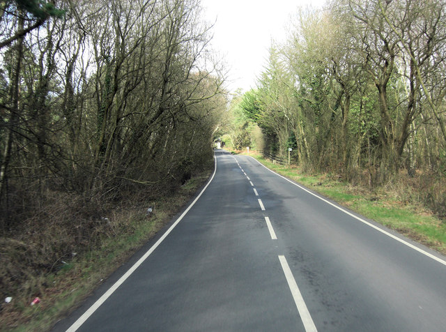
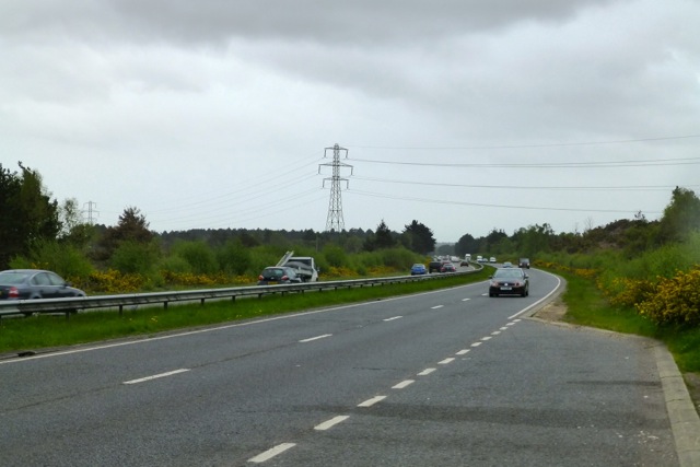
Avon Common is a picturesque village located in the county of Hampshire, England. Situated in the New Forest National Park, it is known for its stunning natural beauty and tranquil surroundings. The village is nestled between the Avon River and the larger settlements of Fordingbridge and Ringwood.
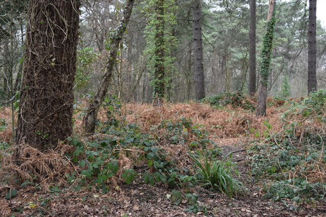
Avon Common is characterized by its traditional thatched cottages, which add to the charm and character of the area. The village is surrounded by lush green meadows, ancient woodlands, and rolling hills, providing ample opportunities for outdoor activities such as walking, cycling, and horse riding.
The Avon River, which flows through the village, is a prominent feature and offers stunning views and recreational opportunities. It attracts anglers from far and wide, as it is home to a variety of fish species, including trout and grayling.
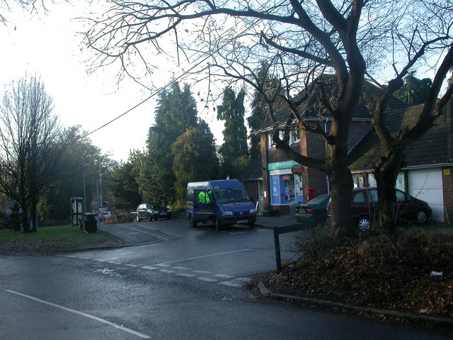
The village has a close-knit community and a warm, friendly atmosphere. There are a few amenities available, including a village hall that serves as a hub for local events and gatherings. Additionally, there are several quaint country pubs and tea rooms where visitors can enjoy a traditional meal or a cup of tea.
Avon Common is an ideal destination for those seeking a peaceful retreat in the heart of nature. Its idyllic setting, combined with its rich history and natural beauty, make it a popular choice for tourists and locals alike.
If you have any feedback on the listing, please let us know in the comments section below.
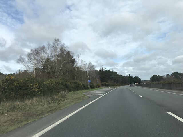
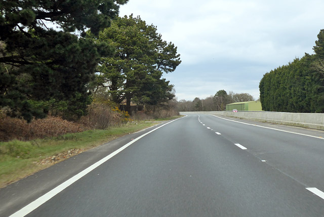
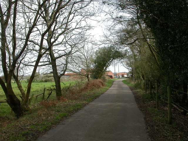
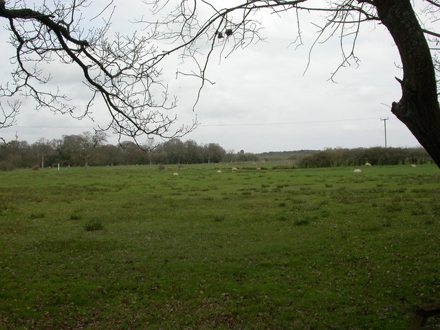
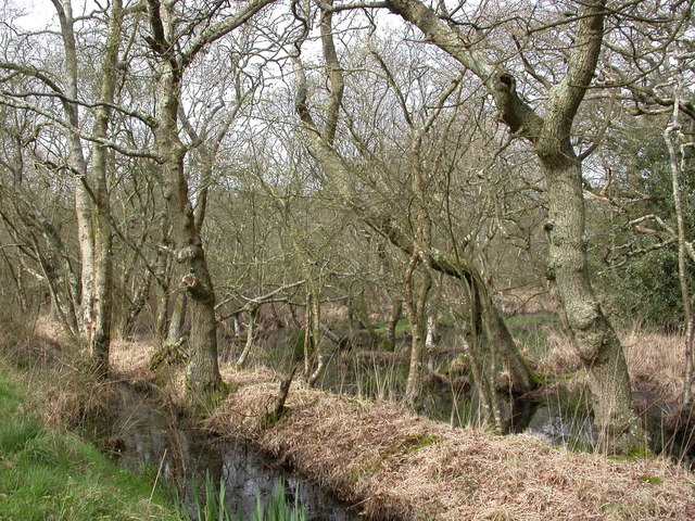
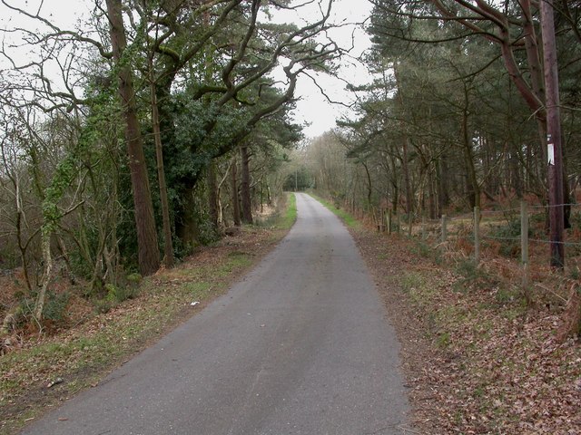
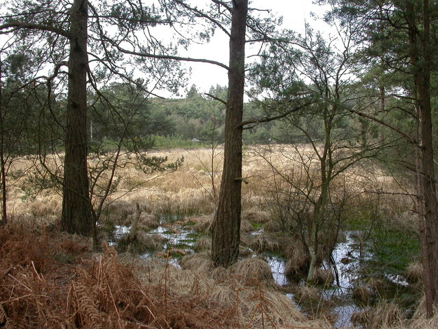
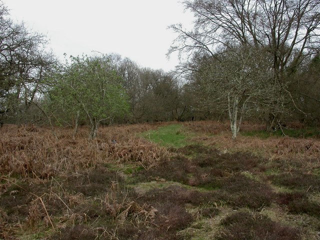
Avon Common Images
Images are sourced within 2km of 50.787037/-1.81851 or Grid Reference SZ1298. Thanks to Geograph Open Source API. All images are credited.


Avon Common is located at Grid Ref: SZ1298 (Lat: 50.787037, Lng: -1.81851)
Unitary Authority: Bournemouth, Christchurch and Poole
Police Authority: Dorset
What 3 Words
///pimples.inflation.wardrobe. Near St Leonards, Dorset
Nearby Locations
Related Wikis

Hurn railway station
Hurn was a railway station in the county of Hampshire (now Dorset), opened on 13 November 1862 by the Ringwood, Christchurch and Bournemouth Railway. Becoming...

Christchurch F.C.
Christchurch Football Club is a football club based in Christchurch, Dorset, England. They are currently members of the Wessex League Premier Division...

RAF Hurn
Royal Air Force Hurn or more simply RAF Hurn is a former Royal Air Force station located approximately 4 miles (6.4 km) north west of Christchurch, Dorset...
Hurn
Hurn is a village and civil parish in the historic county of Hampshire and the ceremonial county of Dorset, England. Situated between the River Stour and...
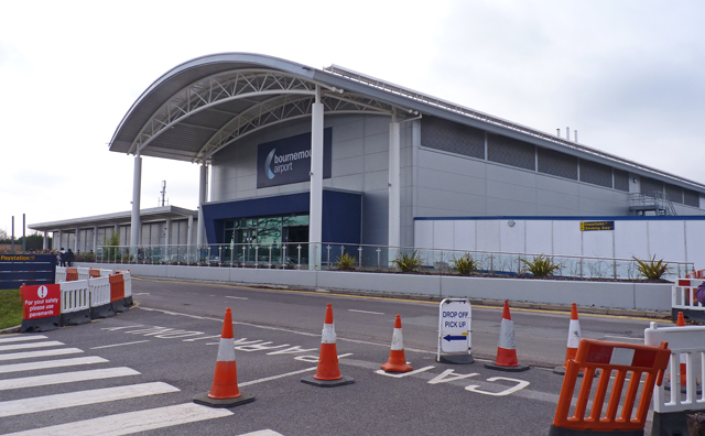
Bournemouth Airport
Bournemouth Airport (IATA: BOH, ICAO: EGHH) (previously known as Hurn Airport and Bournemouth International Airport) is an international airport located...
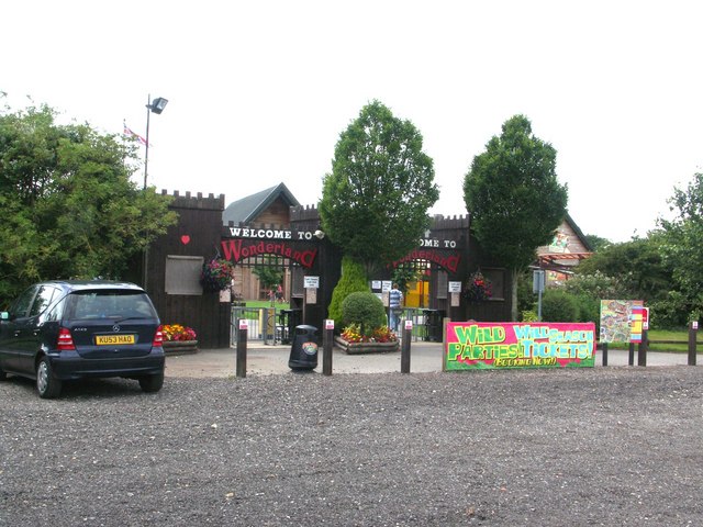
Adventure Wonderland
Adventure Wonderland was a family theme park situated in the village of Hurn, near Bournemouth, United Kingdom. The park offered rides and attractions...

Ringwood Raceway
The Ringwood Raceway (formerly known as Matcham Park Stadium) was a raceway in Ringwood, Hampshire, England. == History == For many years the raceway was...
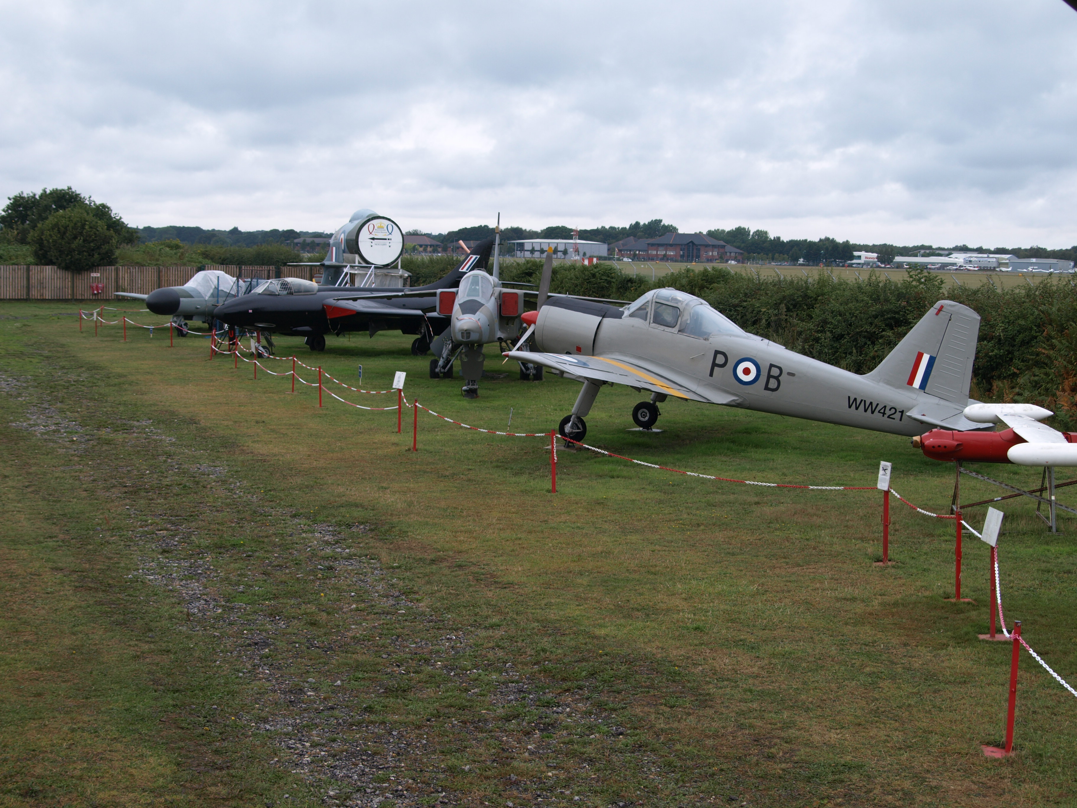
Bournemouth Aviation Museum
The Bournemouth Aviation Museum is an aviation museum located next to Bournemouth International Airport, near the village of Hurn in Christchurch. It houses...
Nearby Amenities
Located within 500m of 50.787037,-1.81851Have you been to Avon Common?
Leave your review of Avon Common below (or comments, questions and feedback).