Auchnafree
Settlement in Perthshire
Scotland
Auchnafree

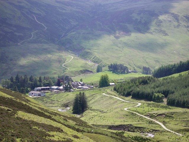
Auchnafree is a small village located in the county of Perthshire, Scotland. Nestled within the beautiful countryside, it is situated approximately 9 miles northwest of the town of Crieff. With its picturesque setting and tranquil atmosphere, Auchnafree offers a peaceful retreat for both residents and visitors.
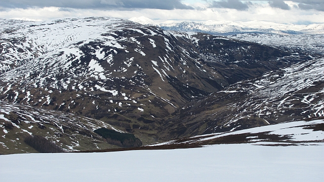
The village is characterized by its charming traditional cottages, which showcase the architectural heritage of the area. Surrounded by rolling hills and stunning landscapes, Auchnafree boasts breathtaking views that attract nature enthusiasts and hikers alike. The nearby Ben Chonzie, one of the highest peaks in the region, provides an opportunity for adventurous individuals to enjoy hiking trails and experience the stunning panoramas from the summit.
Despite its small size, Auchnafree offers a range of amenities to cater to the needs of its residents. The village has a local convenience store where locals can purchase everyday essentials, and there are also a few small businesses and services available. For more extensive shopping and entertainment options, residents can easily access the nearby town of Crieff.
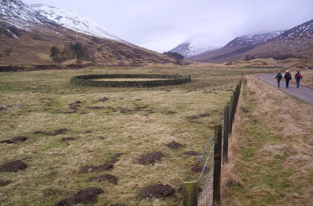
Auchnafree is known for its sense of community and friendly atmosphere. The villagers often come together for various events and activities, fostering a close-knit environment. The village also benefits from its proximity to the River Earn, which provides opportunities for fishing and water-based recreational activities.
Overall, Auchnafree provides a tranquil and idyllic setting for those seeking a peaceful retreat amidst the stunning Perthshire countryside.
If you have any feedback on the listing, please let us know in the comments section below.
Auchnafree Images
Images are sourced within 2km of 56.477154/-3.9187192 or Grid Reference NN8133. Thanks to Geograph Open Source API. All images are credited.


Auchnafree is located at Grid Ref: NN8133 (Lat: 56.477154, Lng: -3.9187192)
Unitary Authority: Perth and Kinross
Police Authority: Tayside
What 3 Words
///taskbar.back.tower. Near Comrie, Perth & Kinross
Nearby Locations
Related Wikis
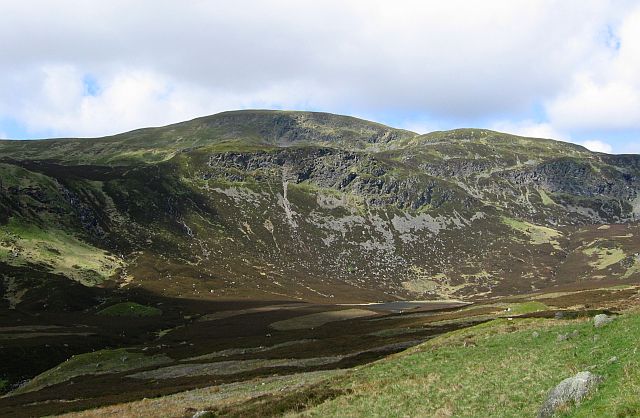
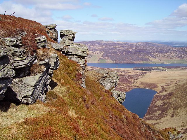
Ben Chonzie
Ben Chonzie or Ben-y-Hone (Scottish Gaelic: Beinn a' Chomhainn, 'mountain of the narrowness', or possibly from Beinn Chòinnich, 'mossy mountain') is a...

Perthshire
Perthshire (locally: ; Scottish Gaelic: Siorrachd Pheairt), officially the County of Perth, is a historic county and registration county in central Scotland...

Stirling (council area)
The Stirling council area (Scots: Stirlin; Scottish Gaelic: Sruighlea) is one of the 32 council areas of Scotland, and has a population of about 93,470...
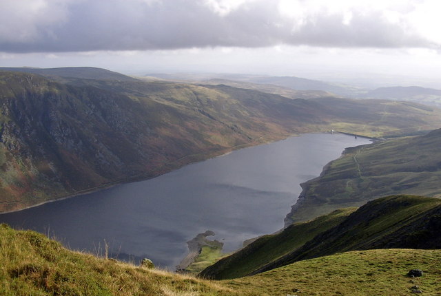
Loch Turret
Loch Turret is a large freshwater reservoir on a north-east to south-west orientation, that is located at the head of Glen Turret and 5.39 miles (8.67...
Loch Freuchie
Loch Freuchie, also known as Fraoch, the heatherly loch, is a large freshwater loch on a north-west to south-east orientation, within Glen Quaich in Perth...

Achnafauld
Achnafauld (, Scottish Gaelic: Achadh na Follt) is a settlement in the Scottish Highlands, about 15 miles (24 km) northwest of Perth. It is located in...

Glen Quaich
Glen Quaich is a glen in Perth and Kinross and is situated almost midway between Crieff and Aberfeldy. The upper reaches of the glen approach Loch Tay...

Creagan na Beinne
Creagan na Beinne is a hill in the Scottish Highlands lying to the south-east of Loch Tay in the group of rolling hills and moors whose highest point in...
Nearby Amenities
Located within 500m of 56.477154,-3.9187192Have you been to Auchnafree?
Leave your review of Auchnafree below (or comments, questions and feedback).