Auchlunies

Settlement in Kincardineshire

Scotland

Auchlunies

Drystone dyke frames the verdant field Photographer is standing at the verge of the minor paved road, looking across the field access gate.
Drystone dyke frames the verdant field Credit: C Michael Hogan

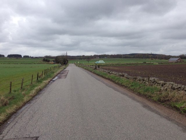
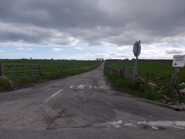
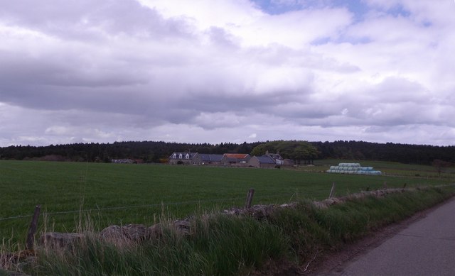
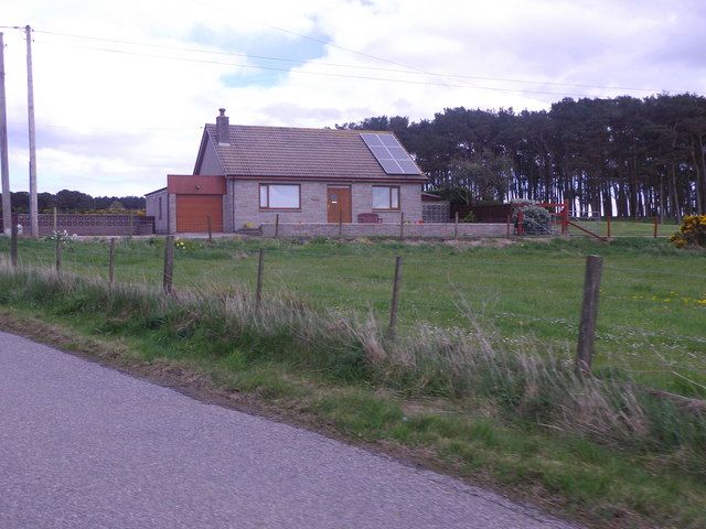
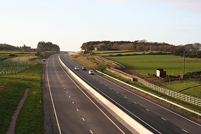
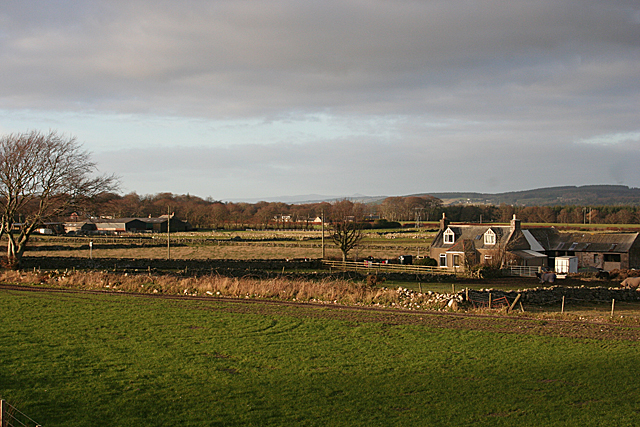
Auchlunies is a small hamlet located in the Kincardineshire region of Scotland. Situated approximately 6 miles south of the town of Stonehaven, Auchlunies is nestled in the picturesque countryside, offering residents and visitors a tranquil and idyllic setting.

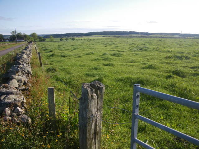
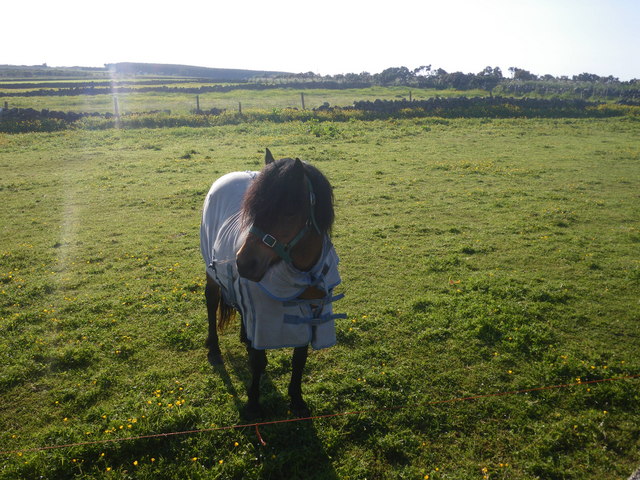
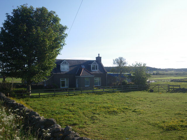
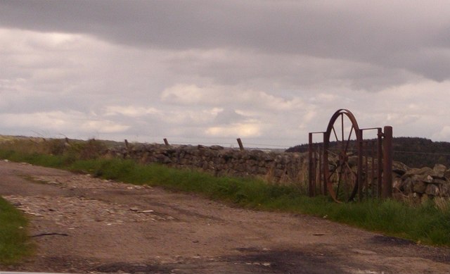
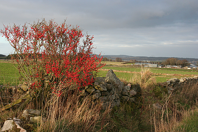
The hamlet is characterized by its charming and traditional stone-built cottages, surrounded by lush green fields and rolling hills. The countryside surrounding Auchlunies is dotted with farmland and grazing sheep, adding to the rural charm of the area.

While Auchlunies itself is a small settlement with a limited population, it benefits from its close proximity to Stonehaven. This larger town provides residents with access to a range of amenities, including shops, schools, healthcare facilities, and recreational activities.

Auchlunies is also well-positioned for those who enjoy outdoor pursuits. The nearby coastline offers stunning views and opportunities for coastal walks, while the nearby Cairngorms National Park is a popular destination for hiking, skiing, and wildlife spotting.

Overall, Auchlunies offers a peaceful and scenic countryside retreat, while still providing convenient access to nearby towns and outdoor activities. It is a place where residents can embrace a slower pace of life and enjoy the natural beauty of the Scottish countryside.

If you have any feedback on the listing, please let us know in the comments section below.
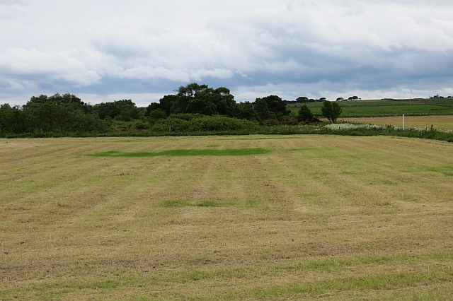
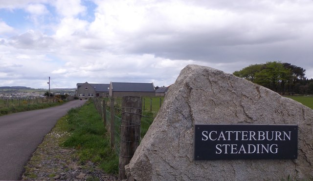
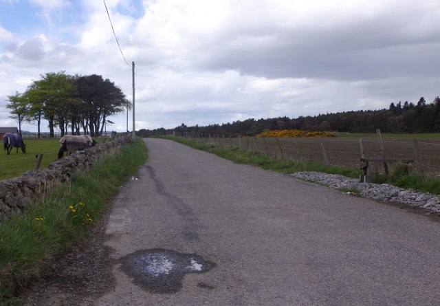
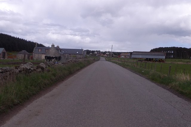
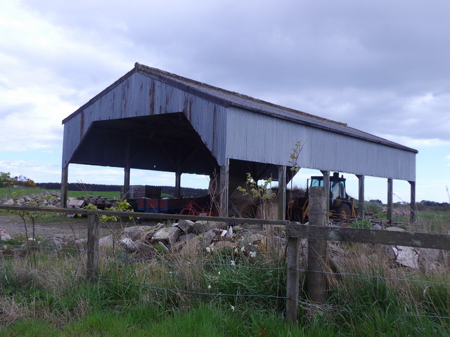
Auchlunies Images

Images are sourced within 2km of 57.089722/-2.1808305 or Grid Reference NO8999. Thanks to Geograph Open Source API. All images are credited.

Drystone dyke frames the verdant field Photographer is standing at the verge of the minor paved road, looking across the field access gate.
Drystone dyke frames the verdant field
Photographer is standing at the verge of the minor paved road, looking across the field access gate.
Horse clad for the morning chill Even though the temperature this morning is 13 degees C, this pampered animal is prepared for colder. Photographer is standing somewhat east of the minor road.
Horse clad for the morning chill
Even though the temperature this morning is 13 degees C, this pampered animal is prepared for colder. Photographer is standing somewhat east of the minor road.
Little Bishopston in the morning light This view is from slightly east of the minor road. A small sliver of Hare Moss is faintly visible at image right.
Little Bishopston in the morning light
This view is from slightly east of the minor road. A small sliver of Hare Moss is faintly visible at image right.
Looking towards Hare Moss A crop of silage has just been lifted from the foreground field.
Looking towards Hare Moss
A crop of silage has just been lifted from the foreground field.
Road across Hare Moss
Minor road to Bishopston With sign indicating the way to a Cheesemaker and Farm Shop.
Minor road to Bishopston
With sign indicating the way to a Cheesemaker and Farm Shop.
An iron gate Made from a cartwheel.
An iron gate
Made from a cartwheel.
Scatterburn Farm
Scatterburn Farm
Access to Scatterburn Steading From the public road.
Access to Scatterburn Steading
From the public road.
Minor road to Ardoe From Scatterburn junction.
Minor road to Ardoe
From Scatterburn junction.
Approaching Jameston Farm On minor road from Scatterburn to Crossroads.
Approaching Jameston Farm
On minor road from Scatterburn to Crossroads.
Dutch Barn at Jameston On south side of minor road.
Dutch Barn at Jameston
On south side of minor road.
Tigh Shine, near Jameston Cottage With solar panels on the roof. By minor road into Crossroads.
Tigh Shine, near Jameston Cottage
With solar panels on the roof. By minor road into Crossroads.
Berries by the Dyke A presumably self-seeded non-native cotoneaster provides a splash of colour beside a rather tumbledown drystane dyke.
Berries by the Dyke
A presumably self-seeded non-native cotoneaster provides a splash of colour beside a rather tumbledown drystane dyke.
Aberdeen Western Peripheral Route This is the overbridge that carries the road between Bishopston and Little Bishopston. Almost all of the overbridges involve a deviation from the original line of the road they replace. Interestingly, there are 'no through route' signs at both ends of this particular bridge, but the road is a through road.
Aberdeen Western Peripheral Route
This is the overbridge that carries the road between Bishopston and Little Bishopston. Almost all of the overbridges involve a deviation from the original line of the road they replace. Interestingly, there are 'no through route' signs at both ends of this particular bridge, but the road is a through road.
Aberdeen Western Peripheral Route This is the view from the Bishopston overbridge eastwards along the spur to Charlestown and the harbour area. As this is 2 January, it is still a public holiday; no doubt it will be much busier when people go back to work after the New Year holidays.
Aberdeen Western Peripheral Route
This is the view from the Bishopston overbridge eastwards along the spur to Charlestown and the harbour area. As this is 2 January, it is still a public holiday; no doubt it will be much busier when people go back to work after the New Year holidays.
Aberdeen Western Peripheral Route This is the view west from Bishopston overbridge towards the roundabout where the spur from Charlestown joins the main route. The white object on the right is a billboard advertising the <a href="https://www.geograph.org.uk/photo/6019576">NO8998 : The Tin Coo</a>, which is on the line of the road replaced by this overbridge.
Aberdeen Western Peripheral Route
This is the view west from Bishopston overbridge towards the roundabout where the spur from Charlestown joins the main route. The white object on the right is a billboard advertising the NO8998 : The Tin Coo, which is on the line of the road replaced by this overbridge.
Little Bishopston Little Bishopston is to the right, close to the ramp up to the overbridge, and the more distant farm is Cowford.
Little Bishopston
Little Bishopston is to the right, close to the ramp up to the overbridge, and the more distant farm is Cowford.
Show me another place!

Auchlunies is located at Grid Ref: NO8999 (Lat: 57.089722, Lng: -2.1808305)

Unitary Authority: Aberdeenshire

Police Authority: North East

What 3 Words

///think.middle.filed. Near Cults, Aberdeen

Nearby Locations

Auchlunies

Related Wikis

Blairs College

St Mary's College, Blairs (commonly known as Blairs College), situated near Aberdeen in Scotland, was from 1829 to 1986 a junior seminary for boys and...

Hare Moss

Hare Moss is a bog in Aberdeenshire, Scotland, in the vicinity of Banchory-Devenick. Hare Moss is a significant wetland ecosystem. == History == Hare...

Bieldside railway station

Bieldside railway station served the Bieldside area within the parish of Peterculter from 1897 to 1937 on the Deeside Railway that ran from Aberdeen (Joint...

West Cults railway station

West Cults railway station served the small suburban village of West Cults area within the parish of Peterculter from 1894 to 1937 on the Deeside Railway...

Bieldside

Bieldside is a suburb to the west of Aberdeen City Centre, Scotland. Together with the neighbouring suburb of Cults, it is the wealthiest area in Scotland...

Murtle railway station

Murtle railway station, later Murtle Halt railway station served Murtle and Beaconhill Houses and estates, the Mill of Murtle, Milton of Murtle, the local...

Shakkin' Briggie

St. Devenick's Bridge (locally known as the Shakkin' Briggie, or as Morison's Bridge) is a disused suspension footbridge which crosses the River Dee from...

Kingcausie

Kingcausie is an ancient estate in lower Deeside, Scotland. Once part of the Temple lands of the Knights Templar in Scotland, it passed in the 16th century...

Nearby Amenities

Located within 500m of 57.089722,-2.1808305
Post Box
Collection Times: Mo-Fr 12:30; Sa 12:00
Postal Code: AB12
Ref: AB12 346
Royal Cypher: GR
Royal Cypher Wikidata: Q33102273
Source: survey
Lat/Long: 57.0876279/-2.1872522
The data included in this document is from www.openstreetmap.org. The data is made available under ODbL.

Have you been to Auchlunies?

Leave your review of Auchlunies below (or comments, questions and feedback).