Auchincloch

Settlement in Stirlingshire

Scotland

Auchincloch

High Banton Picturesque cottages in the old village of Banton.
High Banton Credit: Stephen Sweeney

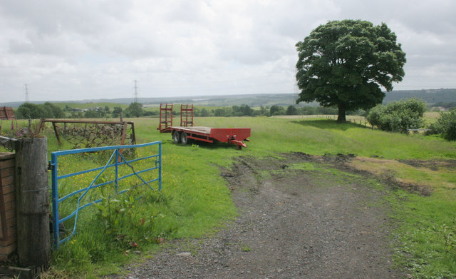
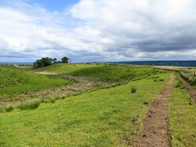
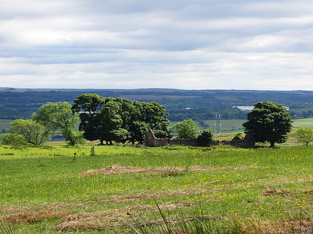
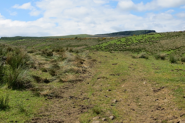
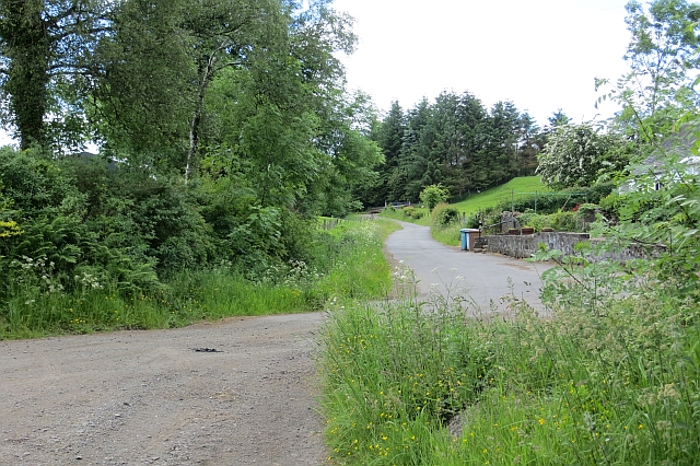
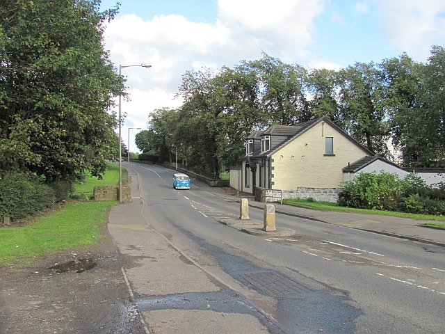
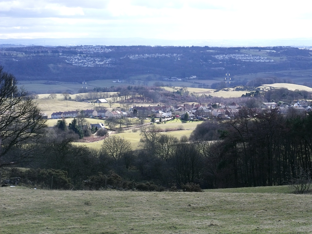
Auchincloch is a small village located in Stirlingshire, Scotland. Situated in the central belt of the country, it lies approximately 10 miles northeast of Stirling and 20 miles northwest of Falkirk. The village is nestled amidst picturesque countryside, surrounded by rolling hills and scenic landscapes.

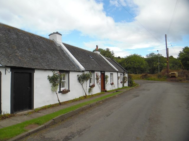
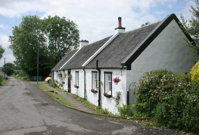
Auchincloch is recognized for its tranquil atmosphere and close-knit community. The village features a small cluster of residential houses, a local primary school, and a handful of amenities including a convenience store and a local pub. The primary school serves as the educational hub for the village, providing a nurturing environment for the children of Auchincloch and the surrounding areas.

The village is well-connected to major road networks, with the A91 passing nearby, making it easily accessible for commuters and visitors alike. Its strategic location allows residents to enjoy the benefits of both rural living and the convenience of nearby towns and cities.

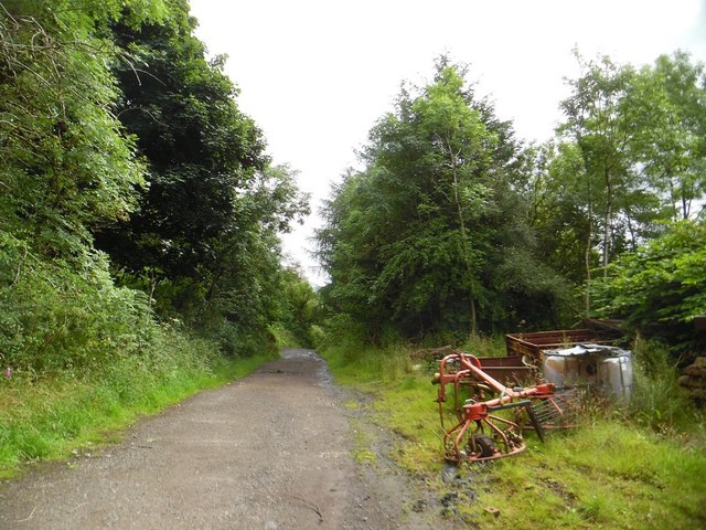
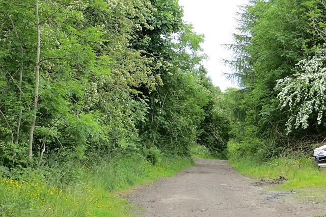
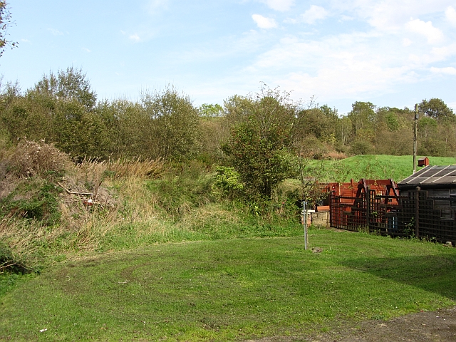
For outdoor enthusiasts, Auchincloch offers various opportunities for exploration and recreation. The surrounding countryside provides ample space for walking, cycling, and enjoying the beauty of nature. Additionally, the nearby Campsie Fells and Loch Lomond and the Trossachs National Park offer stunning natural attractions and outdoor activities.

Overall, Auchincloch is a charming village that provides a peaceful and idyllic setting for its residents. With its beautiful surroundings and close proximity to larger towns and cities, Auchincloch offers a balanced and fulfilling lifestyle for its community.

If you have any feedback on the listing, please let us know in the comments section below.
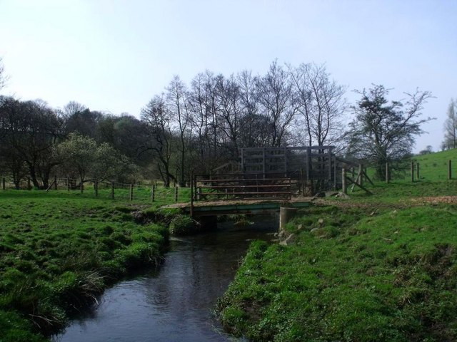
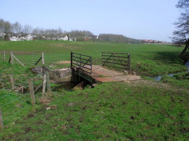
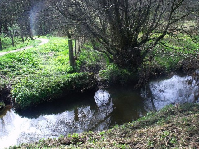
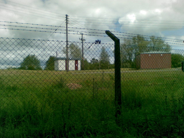
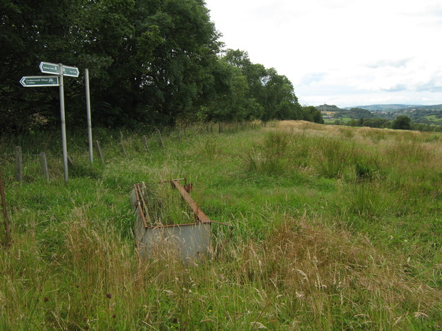
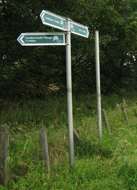
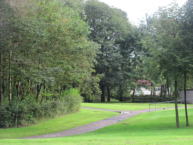
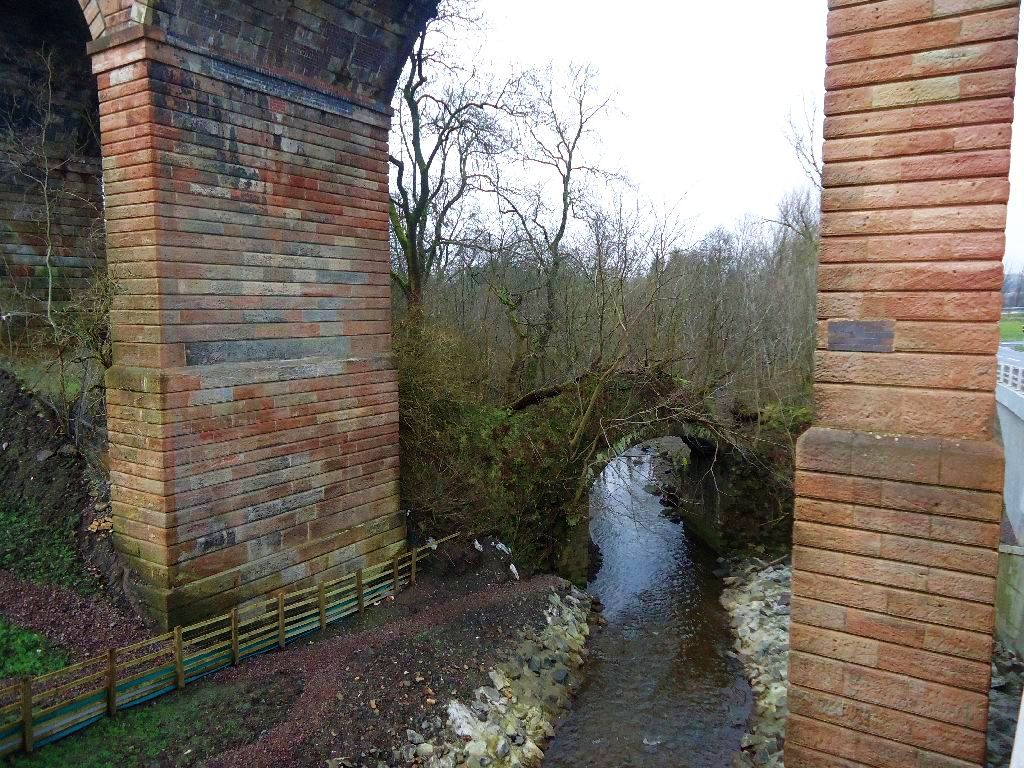
Auchincloch Images

Images are sourced within 2km of 55.987077/-3.9824291 or Grid Reference NS7678. Thanks to Geograph Open Source API. All images are credited.

High Banton Picturesque cottages in the old village of Banton.
High Banton
Picturesque cottages in the old village of Banton.
Forest track east of High Banton
Farm trailer, High Banton
Cottages, High Banton
Track, Bottomhead The track takes a high and dry  route along a ridge.
Track, Bottomhead
The track takes a high and dry route along a ridge.
Whitehill Ruined farm.
Whitehill
Ruined farm.
Rough grazing near Whitehill Just north of the ruins at Whitehill.
Rough grazing near Whitehill
Just north of the ruins at Whitehill.
Track, Banton Mains
Track, Banton Mains
Road, High Banton
Road, High Banton
Banknock, the Bonny Water Where two bridges cross. One an agricultural and the other a pedestrian footbridge linking Banknock with the Forth & Clyde canal towpath.
Banknock, the Bonny Water
Where two bridges cross. One an agricultural and the other a pedestrian footbridge linking Banknock with the Forth & Clyde canal towpath.
Banknock, agricultural bridge
Auchincloch Burn and county boundary The fence post to the left is Falkirk-shire (or whatever it is called) and the tree on the right of the barely discernable ditch is North Lanarkshire.

The aforementioned mostly filled in ditch between the two is the visible remains of the old course of the Red Burn as it was here that the natural confluence took place until the Resident Engineer Robert Mackell building the Forth & Clyde canal diverted the course of the Red Burn in 1770 as described in <a href="https://www.geograph.org.uk/photo/2351082">NS7878 : Woodneuk aqueduct and Red Burn</a>.
Auchincloch Burn and county boundary
The fence post to the left is Falkirk-shire (or whatever it is called) and the tree on the right of the barely discernable ditch is North Lanarkshire. The aforementioned mostly filled in ditch between the two is the visible remains of the old course of the Red Burn as it was here that the natural confluence took place until the Resident Engineer Robert Mackell building the Forth & Clyde canal diverted the course of the Red Burn in 1770 as described in NS7878 : Woodneuk aqueduct and Red Burn.
Training centre, Westerwood
Signpost at Westerwood Farm A new signpost giving directions and distances to
Castlecary, The Village and Croy.

It's on the course of The Antonine Wall. 
Indeed that is the reason for the signpost being here.

See <a title="www.geograph.org.uk/photo/2559345" href="https://www.geograph.org.uk/photo/2559345">Link</a> for a closer look.
Signpost at Westerwood Farm
A new signpost giving directions and distances to Castlecary, The Village and Croy. It's on the course of The Antonine Wall. Indeed that is the reason for the signpost being here. See Link for a closer look.
Signpost at Westerwood Farm A new signpost which has recently sprouted
on the path of The Antonine Wall.

See also <a title="www.geograph.org.uk/photo/2559328" href="https://www.geograph.org.uk/photo/2559328">Link</a>
Signpost at Westerwood Farm
A new signpost which has recently sprouted on the path of The Antonine Wall. See also Link
Open space, Banknock An area of wooded parkland, either side of the Kilsyth Road.
Open space, Banknock
An area of wooded parkland, either side of the Kilsyth Road.
Kilsyth Road, Banknock
Green space, Coneypark Behind a row of garages.
Green space, Coneypark
Behind a row of garages.
Show me another place!

Auchincloch is located at Grid Ref: NS7678 (Lat: 55.987077, Lng: -3.9824291)

Unitary Authority: Falkirk

Police Authority: Forth Valley

What 3 Words

///snap.force.degree. Near Banknock, Falkirk

Nearby Locations

Auchincloch

Related Wikis

Kelvinhead

Kelvinhead is a small hamlet in the vicinity of the village of Banton in Scotland. Located close to the source of the River Kelvin, it is little more than...

Cumbernauld Airport

Cumbernauld Airport (ICAO: EGPG, FAA LID: CBN) is a general aviation airport located 16 NM (30 km; 18 mi) northeast of Glasgow at Cumbernauld in North...

Banton, North Lanarkshire

Banton is a small village situated near Kilsyth in North Lanarkshire, Scotland. == History == The Covenanter army under General William Baillie formed...

Banknock railway station

Banknock railway station served the village of Banknock in Scotland. The station was served by trains on the lines from Kilsyth New to Bonnybridge. �...

Kingdom of Strathclyde

Strathclyde (lit. "broad valley of the Clyde", Welsh: Ystrad Clud, Latin: Cumbria) was a Brittonic kingdom in northern Britain during the Middle Ages....

Banknock

Banknock (Scottish Gaelic: Baile nan Cnoc) is a village within the Falkirk council area in Central Scotland. The village is 6.7 miles (10.8 km) west-southwest...

Wardpark

Wardpark is an industrial estate in Cumbernauld, Scotland split by the M80 motorway. The former Burroughs factory, the first factory of Cumbernauld new...

Red Burn

The Red Burn is one of two main streams which flow out of Cumbernauld. The Scottish New Town’s name derives from the Gaelic for "the meeting of the waters...

Nearby Amenities

Located within 500m of 55.987077,-3.9824291
Design: barrel
Power: tower
Lat/Long: 55.9884228/-3.9879701
Design: barrel
Power: tower
Lat/Long: 55.9897098/-3.9838364
Power: pole
Lat/Long: 55.9871508/-3.990051
Power: pole
Lat/Long: 55.9874596/-3.9890032
Power: pole
Lat/Long: 55.9877428/-3.9880491
Power: pole
Lat/Long: 55.9880178/-3.9870846
Power: pole
Lat/Long: 55.9885527/-3.9857388
Power: pole
Lat/Long: 55.988858/-3.984992
Power: pole
Lat/Long: 55.9892104/-3.9840817
Power: pole
Lat/Long: 55.9896276/-3.983039
Power: pole
Lat/Long: 55.990078/-3.981938
Power: pole
Lat/Long: 55.9903459/-3.9810527
Power: pole
Lat/Long: 55.9906093/-3.9801944
Power: pole
Lat/Long: 55.9906425/-3.9790632
Power: pole
Lat/Long: 55.9906821/-3.9779935
Power: pole
Lat/Long: 55.9876624/-3.9859721
Power: pole
Lat/Long: 55.987293/-3.9848201
Power: pole
Lat/Long: 55.9870017/-3.9839285
Power: pole
Lat/Long: 55.9866975/-3.9829932
Power: pole
Lat/Long: 55.9864132/-3.9821266
Power: pole
Lat/Long: 55.9861487/-3.9813016
Power: pole
Lat/Long: 55.9831257/-3.9856097
Power: pole
Lat/Long: 55.9837201/-3.9855555
Power: pole
Lat/Long: 55.9843342/-3.9855118
Power: pole
Lat/Long: 55.9852059/-3.9851576
Power: pole
Lat/Long: 55.9859471/-3.9844847
Power: pole
Lat/Long: 55.9866999/-3.9837931
Power: pole
Lat/Long: 55.9874305/-3.9831453
Power: pole
Lat/Long: 55.9882567/-3.9824307
Power: pole
Lat/Long: 55.9890689/-3.9816974
Power: pole
Lat/Long: 55.9897412/-3.9811183
Power: pole
Lat/Long: 55.9903261/-3.9805954
Power: pole
Lat/Long: 55.9905464/-3.9798788
Power: pole
Lat/Long: 55.9908551/-3.978856
Bus Stop
Banknock, Kilsyth Road at Orchard Farm
Bus: yes
Naptan AtcoCode: 66903541041
Naptan NaptanCode: 32526759
Public Transport: platform
Shelter: no
Lat/Long: 55.9861106/-3.9810938
The data included in this document is from www.openstreetmap.org. The data is made available under ODbL.

Have you been to Auchincloch?

Leave your review of Auchincloch below (or comments, questions and feedback).