Ashton Heath

Settlement in Lancashire

England

Ashton Heath

Footbridge over M6
Footbridge over M6 Credit: Alpin Stewart

Ashton Heath is a small village located in the county of Lancashire, England. Situated in the picturesque countryside, it lies approximately 10 miles east of the city of Preston and 30 miles northwest of Manchester. With a population of around 1,500 residents, Ashton Heath retains a tight-knit community feel.

The village is known for its idyllic surroundings, characterized by rolling green hills, charming farmlands, and a peaceful atmosphere. Agriculturally, Ashton Heath primarily focuses on dairy farming and crop cultivation, contributing to the region's rural economy. The village's landscape is dotted with traditional stone cottages and farmhouses, showcasing its rich historical heritage.

Despite its small size, Ashton Heath offers a range of amenities to cater to the needs of its residents. These include a local primary school, a village hall, a post office, and several small shops, providing everyday essentials. Additionally, the village is well-connected to neighboring towns and cities, with regular bus services and easy access to major road networks.

For recreational activities, Ashton Heath boasts several scenic walking and cycling routes, allowing residents and visitors to explore the stunning surrounding countryside. The village is also within close proximity to the Forest of Bowland Area of Outstanding Natural Beauty, offering further opportunities for outdoor pursuits such as hiking and birdwatching.

In conclusion, Ashton Heath is a charming and picturesque village in Lancashire, offering a rural lifestyle with a strong sense of community. Its beautiful landscape, rich history, and convenient amenities make it an attractive place to live or visit for those seeking a peaceful and tranquil setting.

If you have any feedback on the listing, please let us know in the comments section below.
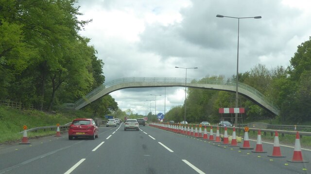
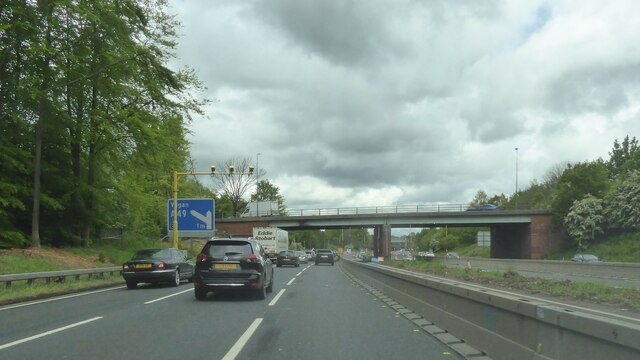
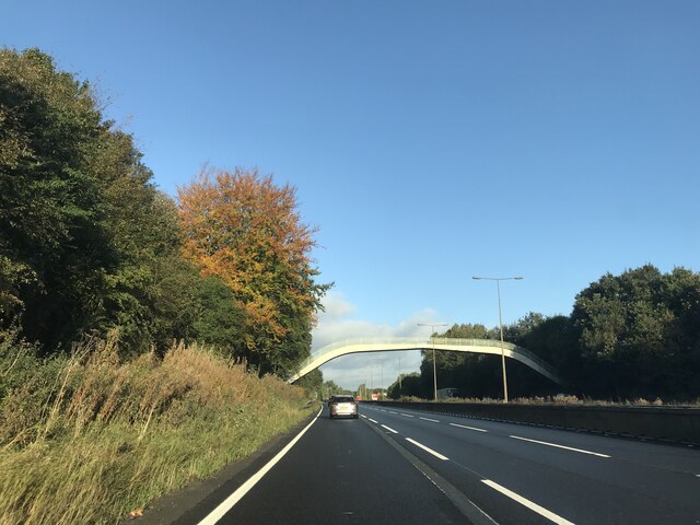
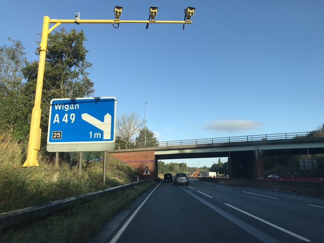
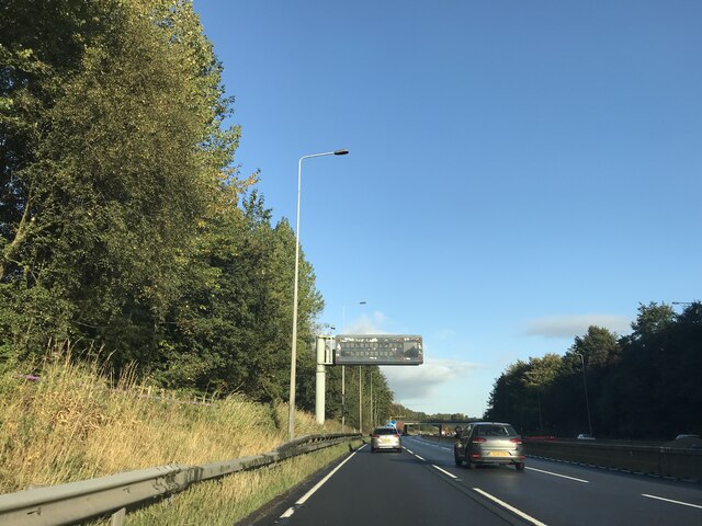
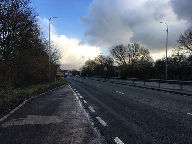
Ashton Heath Images

Images are sourced within 2km of 53.483443/-2.626921 or Grid Reference SJ5898. Thanks to Geograph Open Source API. All images are credited.

Footbridge over M6
Footbridge over M6
A58 crossing M6
A58 crossing M6
Junction 23  - M6 northbound
Junction 23 - M6 northbound
Signage  - M6 northbound
Signage - M6 northbound
Footbridge  - M6 northbound
Footbridge - M6 northbound
Junction 25 signage - northbound M6
Matrix board  - northbound M6
Matrix board - northbound M6
A580 near Haydock
A580 near Haydock
Cycle rack, Gerard Street,  Ashton-in-Makerfield Neatly designed to resemble penny-farthing bicycles.
Cycle rack, Gerard Street, Ashton-in-Makerfield
Neatly designed to resemble penny-farthing bicycles.
Time for a quick one Recreating this 'First' for the square <a title="https://www.geograph.org.uk/photo/83143" href="https://www.geograph.org.uk/photo/83143">Link</a>.

The main change is the price of fuel!
Time for a quick one
Recreating this 'First' for the square Link. The main change is the price of fuel!
Cross Keys Inn, Ashton-in-Makerfield An attractive red brick and terracotta pub, dated 1904.
Cross Keys Inn, Ashton-in-Makerfield
An attractive red brick and terracotta pub, dated 1904.
Carnegie Library and Lecture Hall, Ashton-in-Makerfield Built in 1905-6 to a design by the architects J B & W Thornely. The lecture hall was later converted to a children's library. Listed Grade II.
Carnegie Library and Lecture Hall, Ashton-in-Makerfield
Built in 1905-6 to a design by the architects J B & W Thornely. The lecture hall was later converted to a children's library. Listed Grade II.
Carnegie Library and Lecture Hall, Ashton-in-Makerfield – detail Built in 1905-6 to a design by the architects J B & W Thornely. The lecture hall was later converted to a children's library. Listed Grade II.
Carnegie Library and Lecture Hall, Ashton-in-Makerfield – detail
Built in 1905-6 to a design by the architects J B & W Thornely. The lecture hall was later converted to a children's library. Listed Grade II.
Old signage on the former Palace Cinema Opened in 1910 as the Royal Picture Palace, renamed The Palace in 1938 and closed in 1966, see <a title="https://www.geograph.org.uk/photo/7517571" href="https://www.geograph.org.uk/photo/7517571">Link</a>. The sign advertises twice nightly screenings with matinees on Monday, Thursday and Saturday.
Old signage on the former Palace Cinema
Opened in 1910 as the Royal Picture Palace, renamed The Palace in 1938 and closed in 1966, see Link. The sign advertises twice nightly screenings with matinees on Monday, Thursday and Saturday.
Palace Arcade, Ashton-in-Makerfield A new facade to what was the Palace Cinema, opened in 1910 which is reflected in the name of the cafe to the left.
Palace Arcade, Ashton-in-Makerfield
A new facade to what was the Palace Cinema, opened in 1910 which is reflected in the name of the cafe to the left.
Former Co-operative store and hall, Ashton-in-Makerfield Typical large town centre retail premises with hall over. Probably early 20th century. The gables are likely to have been more ornate than when built; there does appear to be a 'tide mark' in the brickwork of the large one. The upper floors appear to have been converted to flats.
Former Co-operative store and hall, Ashton-in-Makerfield
Typical large town centre retail premises with hall over. Probably early 20th century. The gables are likely to have been more ornate than when built; there does appear to be a 'tide mark' in the brickwork of the large one. The upper floors appear to have been converted to flats.
Former Co-operative hall entrance, Ashton-in-Makerfield Classic red terracotta. See <a title="https://www.geograph.org.uk/photo/7517591" href="https://www.geograph.org.uk/photo/7517591">Link</a> for location.
Former Co-operative hall entrance, Ashton-in-Makerfield
Classic red terracotta. See Link for location.
Former police station, Warrington Street, Ashton-in-Makerfield Opened in 1879, it was replaced in 1904 as a station and used for police accommodation. Now converted to apartments.
Former police station, Warrington Street, Ashton-in-Makerfield
Opened in 1879, it was replaced in 1904 as a station and used for police accommodation. Now converted to apartments.
Show me another place!

Ashton Heath is located at Grid Ref: SJ5898 (Lat: 53.483443, Lng: -2.626921)

Unitary Authority: Wigan

Police Authority: Greater Manchester

What 3 Words

///sticky.tens.lively. Near Ashton in Makerfield, Manchester

Nearby Locations

Ashton Heath

Related Wikis

Haydock Park railway station

Haydock Park railway station was a railway station adjacent to Haydock Park Racecourse, formerly in Lancashire and now in Merseyside, England. The station...

St Thomas' Church, Ashton-in-Makerfield

St Thomas' Church is in Warrington Road, Ashton-in-Makerfield, Greater Manchester, England. It is an active Anglican parish church in the deanery of Wigan...

St Edmund Arrowsmith Catholic High School, Ashton-in-Makerfield

St Edmund Arrowsmith Catholic High School is a centre of secondary education in Ashton-in-Makerfield in the Metropolitan Borough of Wigan, Greater Manchester...

Ashton-in-Makerfield railway station

Ashton-in-Makerfield railway station was a railway station serving the town of Ashton-in-Makerfield, although it was located in the neighbouring village...

Nearby Amenities

Located within 500m of 53.483443,-2.626921
Haydock Park
Historic: railway
Historic Railway: station
Note: site of Haydock Park railway station
Source: npe
Wikidata: Q22087231
Wikipedia: en:Haydock Park railway station
Lat/Long: 53.4813369/-2.6264775
Turning Circle
Lat/Long: 53.4865179/-2.6316034
Barrier: bollard
Lat/Long: 53.4856087/-2.6296912
Bus Stop
Heath Road/Ashton Heath
Bus: yes
Naptan AtcoCode: 1800WK02241
Naptan Bearing: W
Naptan CommonName: Heath Road/Ashton Heath
Naptan Indicator: Op Pub
Naptan Landmark: OP PUB
Naptan NaptanCode: manpmtmp
Naptan PlusbusZoneRef: MNCRPIC
Naptan ShortCommonName: Ashton Heath
Naptan Street: HEATH ROAD
Naptan Verified: no
Network: TfGM
Public Transport: platform
Source: naptan_import
Lat/Long: 53.4846659/-2.6302053
Generator Method: photovoltaic
Generator Output Electricity: yes
Generator Source: solar
Generator Type: solar_photovoltaic_panel
Location: roof
Power: generator
Lat/Long: 53.4873146/-2.623316
Generator Method: photovoltaic
Generator Output Electricity: yes
Generator Source: solar
Generator Type: solar_photovoltaic_panel
Location: roof
Power: generator
Lat/Long: 53.4874399/-2.6292161
Post Box
Check Date: 2023-04-22
Operator: Royal Mail
Operator Wikidata: Q638098
Post Box Type: lamp
Ref: WN4 166
Royal Cypher: EIIR
Lat/Long: 53.4847852/-2.629618
Addr City: Ashton-in-Makerfield
Addr Housenumber: 131
Addr Street: Heath Road
Lat/Long: 53.4851158/-2.6336077
Addr City: Ashton-in-Makerfield
Addr Housenumber: 133
Addr Street: Heath Road
Lat/Long: 53.485105/-2.6335183
Addr City: Ashton-in-Makerfield
Addr Housenumber: 2
Addr Street: Mill Street
Lat/Long: 53.484818/-2.6294105
Addr City: Wigan
Addr Housenumber: 197
Addr Street: Heath Road
Addr Suburb: Ashton-in-Makerfield
Lat/Long: 53.4847842/-2.6312964
Addr City: Wigan
Addr Housenumber: 195
Addr Street: Heath Road
Addr Suburb: Ashton-in-Makerfield
Lat/Long: 53.484785/-2.6313546
Addr City: Ashton-in-Makerfield
Addr Housenumber: 143
Addr Street: Heath Road
Lat/Long: 53.4850219/-2.6331275
Addr Housenumber: 145
Addr Street: Heath Road
Lat/Long: 53.4850068/-2.6330353
Addr City: Ashton-in-Makerfield
Addr Housenumber: 147
Addr Street: Heath Road
Lat/Long: 53.4849933/-2.6329545
Addr City: Ashton-in-Makerfield
Addr Housenumber: 169
Addr Street: Heath Road
Lat/Long: 53.4848185/-2.632154
Addr City: Ashton-in-Makerfield
Addr Housenumber: 167
Addr Street: Princess Road
Lat/Long: 53.4865492/-2.6292922
Addr City: Ashton-in-Makerfield
Addr Housenumber: 56
Addr Street: York Road
Lat/Long: 53.4859591/-2.633011
Addr City: Ashton-in-Makerfield
Addr Housenumber: 90
Addr Street: Heath Road
Lat/Long: 53.4845464/-2.6324464
Addr City: Ashton-in-Makerfield
Addr Housenumber: 100
Addr Street: Heath Road
Lat/Long: 53.4844017/-2.6321076
Addr City: Ashton-in-Makerfield
Addr Housenumber: 108
Addr Street: Heath Road
Lat/Long: 53.4843009/-2.6318523
Addr City: Ashton-in-Makerfield
Addr Housenumber: 159
Addr Street: Heath Road
Lat/Long: 53.4848768/-2.6325074
Addr City: Ashton-in-Makerfield
Addr Housenumber: 98
Addr Street: Heath Road
Lat/Long: 53.484429/-2.6321767
Information: guidepost
Tourism: information
Lat/Long: 53.4841109/-2.6312533
Addr City: Ashton-in-Makerfield
Addr Housenumber: 31
Addr Street: Kiveton Drive
Lat/Long: 53.4826998/-2.6322294
Addr City: Ashton-in-Makerfield
Addr Housenumber: 37
Addr Street: Kiveton Drive
Lat/Long: 53.4828699/-2.6322912
Addr City: Ashton-in-Makerfield
Addr Housenumber: 133
Addr Street: Princess Road
Lat/Long: 53.4867301/-2.6304802
Addr City: Ashton-in-Makerfield
Addr Housenumber: 25
Addr Street: Ashton Heath
Lat/Long: 53.4839907/-2.6277402
Addr City: Ashton-in-Makerfield
Addr Housenumber: 33
Addr Street: Ashton Heath
Lat/Long: 53.4838682/-2.627502
Addr City: Ashton-in-Makerfield
Addr Housenumber: 3
Addr Street: Mill Street
Lat/Long: 53.4849767/-2.629761
Generator Method: photovoltaic
Generator Output Electricity: yes
Generator Source: solar
Generator Type: solar_photovoltaic_panel
Location: roof
Power: generator
Lat/Long: 53.4874457/-2.6292824
Addr City: Ashton-in-Makerfield
Addr Housenumber: 10A
Addr Street: Lily Place
Source: survey
Lat/Long: 53.4853886/-2.6335499
Addr City: Ashton-in-Makerfield
Addr Housenumber: 169
Addr Street: Princess Road
Lat/Long: 53.4865269/-2.6289327
Addr City: Ashton-in-Makerfield
Addr Housenumber: 129
Addr Street: Princess Road
Lat/Long: 53.4868058/-2.6308249
Addr City: Ashton-in-Makerfield
Addr Housenumber: 147
Addr Street: Princess Road
Source: survey
Lat/Long: 53.4866287/-2.6299171
Waste Basket
Lat/Long: 53.4842318/-2.6311855
Addr City: Ashton-in-Makerfield
Addr Housenumber: 7A
Addr Street: Lily Place
Lat/Long: 53.4853682/-2.6331752
Addr City: Ashton-in-Makerfield
Addr Housenumber: 7
Addr Street: Lily Place
Lat/Long: 53.4856476/-2.6331027
Addr City: Ashton-in-Makerfield
Addr Housenumber: 25
Addr Street: Mill Street
Lat/Long: 53.4854005/-2.6294449
Addr City: Ashton-in-Makerfield
Addr Housenumber: 2a
Addr Street: Druid Street
Lat/Long: 53.4854389/-2.6294815
Waste Basket
Colour: Black
Operator: Wigan Council
Source: survey
Lat/Long: 53.4844142/-2.6290069
The data included in this document is from www.openstreetmap.org. The data is made available under ODbL.

Have you been to Ashton Heath?

Leave your review of Ashton Heath below (or comments, questions and feedback).