Ashmore Brook
Settlement in Staffordshire Lichfield
England
Ashmore Brook
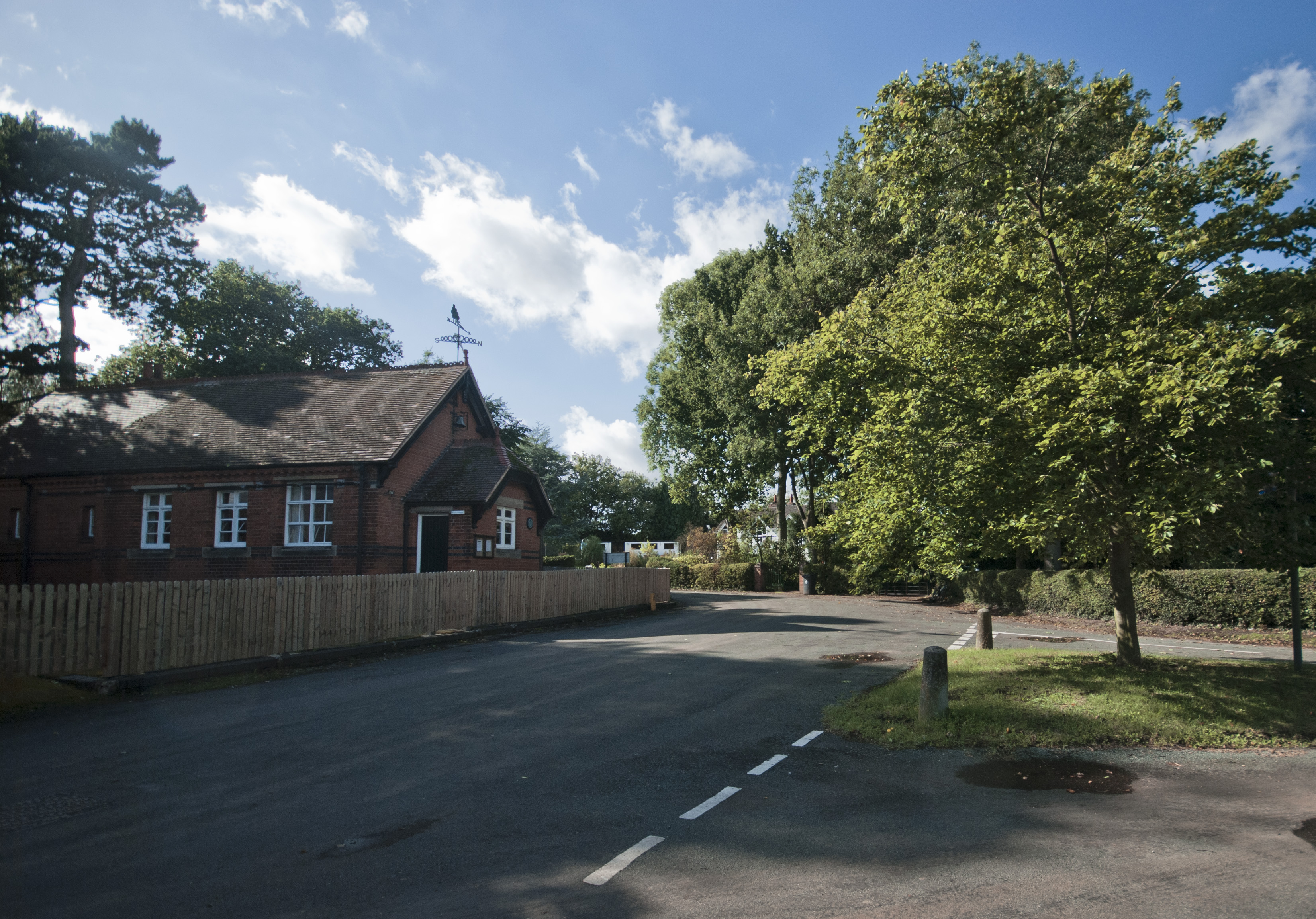
Ashmore Brook is a small, picturesque village located in the county of Staffordshire, England. Situated approximately five miles north of the bustling town of Stafford, Ashmore Brook is nestled amidst the serene countryside, offering residents and visitors a tranquil escape from the urban hustle and bustle.
The village is known for its charming, traditional English cottages, many of which date back several centuries. The architecture reflects the area's rich history and adds to the village's character and charm. The brook itself, from which the village derives its name, meanders through the heart of Ashmore Brook, providing a peaceful and idyllic backdrop.
Despite its small size, Ashmore Brook boasts a tight-knit community with a strong sense of camaraderie. The village is home to a primary school, a village hall, and a local pub, which serves as a central gathering place for residents and visitors alike. The pub offers traditional pub fare and a warm, welcoming atmosphere.
Surrounded by rolling hills and lush green fields, Ashmore Brook is a haven for nature enthusiasts. The village is located in close proximity to several walking trails and nature reserves, offering ample opportunities for outdoor activities such as hiking, birdwatching, and cycling.
Although Ashmore Brook is primarily a residential area, it benefits from its proximity to Stafford, where residents can access a wide range of amenities including shops, supermarkets, healthcare facilities, and recreational activities.
Overall, Ashmore Brook is a charming, peaceful village that offers a close-knit community, beautiful surroundings, and a convenient location within Staffordshire.
If you have any feedback on the listing, please let us know in the comments section below.
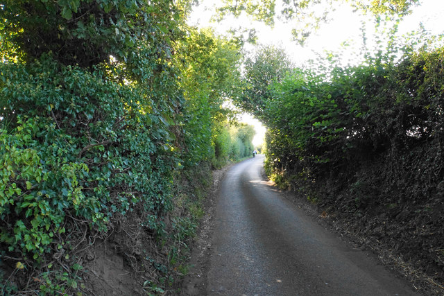
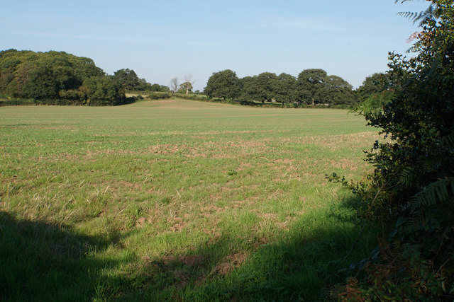
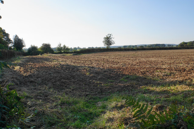
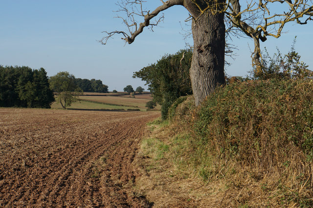
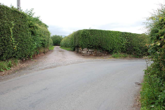
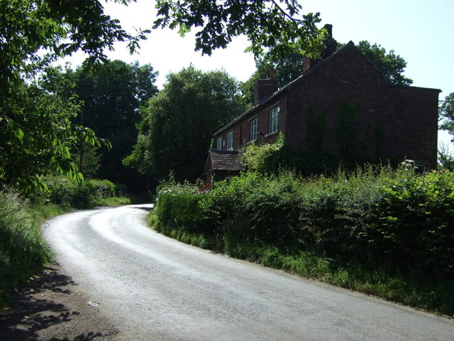
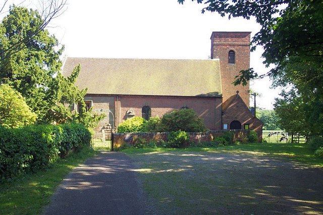
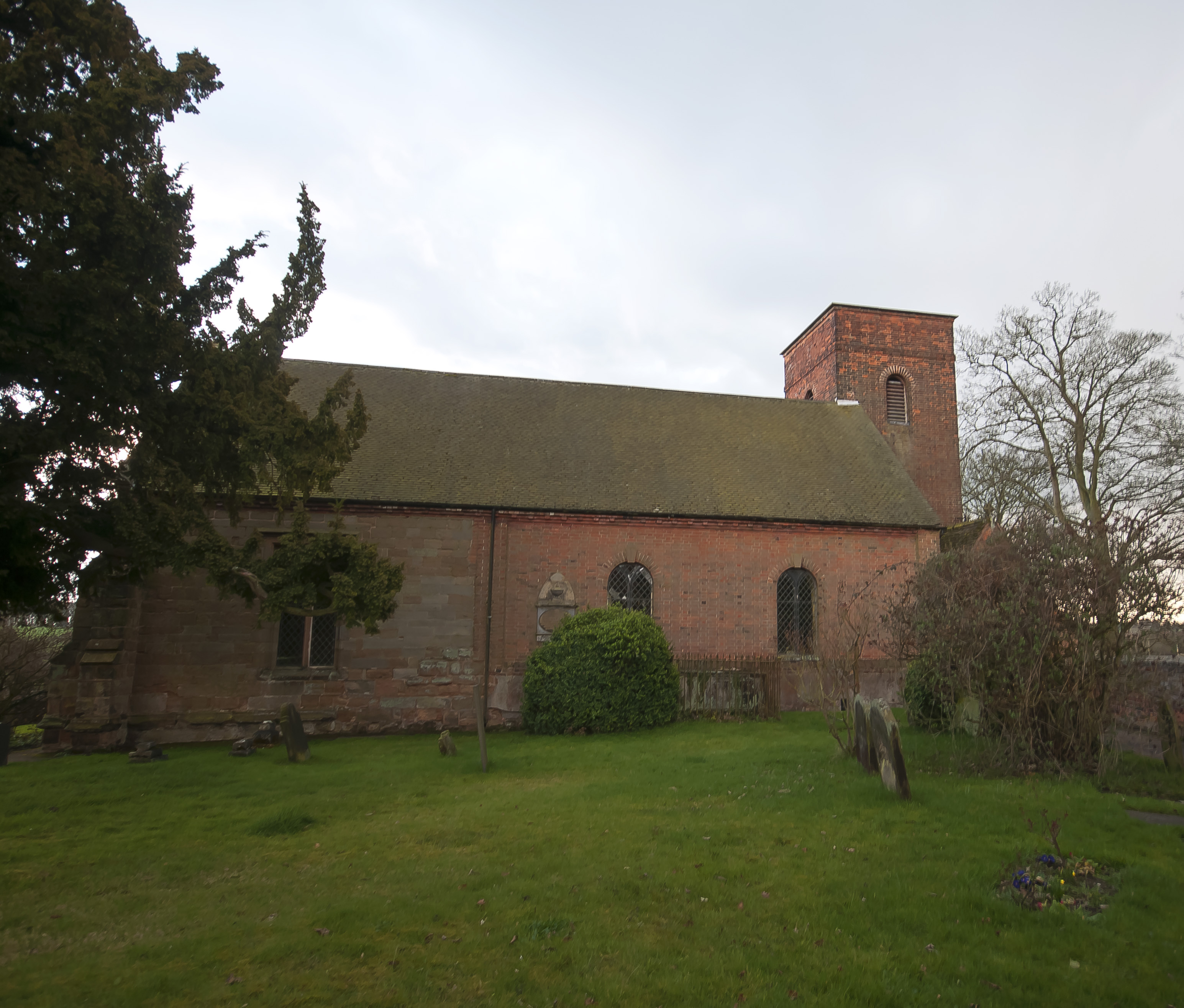
Ashmore Brook Images
Images are sourced within 2km of 52.696902/-1.8593268 or Grid Reference SK0911. Thanks to Geograph Open Source API. All images are credited.


Ashmore Brook is located at Grid Ref: SK0911 (Lat: 52.696902, Lng: -1.8593268)
Administrative County: Staffordshire
District: Lichfield
Police Authority: Staffordshire
What 3 Words
///silk.pump.orders. Near Lichfield, Staffordshire
Nearby Locations
Related Wikis

The Friary School
The Friary School (formerly Friary Grange) is a mixed secondary school and sixth form located in Lichfield, Staffordshire, England. The school became an...
Farewell Priory
Farewell Priory was a Benedictine nunnery near Lichfield in Staffordshire, England. Although it received considerable episcopal support, it was always...

Maple Hayes
Maple Hayes is late 18th century manor house, now occupied by a special needs school, near Lichfield, Staffordshire. It is a Grade II listed building....
Farewell and Chorley
Farewell and Chorley is a civil parish in Lichfield District, Staffordshire, England. The villages of Farewell and Chorley, that make up the parish, lie...
Elmhurst Hall
Elmhurst Hall was a country house in the village of Elmhurst, Staffordshire. The house was located approximately 1.5 miles north of the city of Lichfield...
Beacon Park
Beacon Park is a public park in the centre of the city of Lichfield, Staffordshire, in the United Kingdom. The park was created in 1859 when the Museum...
Elmhurst, Staffordshire
Elmhurst is a small village in Curborough and Elmhurst civil parish within Lichfield District, in Staffordshire, England. It lies approximately 1.5 miles...

Christ Church, Lichfield
Christ Church is a parish church in Lichfield, Staffordshire in the United Kingdom. The church is situated in Leamonsley in the south west area of the...
Related Videos

A walking tour around Lichfield
Another adventure without Pam as this really was a close to home trip. It is amazing how much you ignore your own (or in my case ...
🇬🇧🏴Walking in LICHFIELD/Staffordshire_Small English City 2019 September
Map of Lichfield https://goo.gl/maps/eeGYD1mA2LxWyrNM7.

Stroll along Lichfield High Street towards the stunning medieval Cathedral, UK Walking Tour in 4K.
Stroll along Lichfield High Street towards the stunning medieval Cathedral, UK Walking Tour in 4K. Take a walk with me along the ...

City Walk in 4K - 🎄Lichfield at Christmas
Today's walk is a city walk filmed in 4K Lichfield is most well-known for its stunning three-spired medieval cathedral and was once ...
Nearby Amenities
Located within 500m of 52.696902,-1.8593268Have you been to Ashmore Brook?
Leave your review of Ashmore Brook below (or comments, questions and feedback).