Ashby Woulds

Settlement in Leicestershire North West Leicestershire

England

Ashby Woulds

Restored Milestone, Ashby Canal A modern representation of the mile peg that would have existed. This section of the canal has been restored and partly modified and truncated (by a mile) . It would have served the collieries in Donisthorpe & Moira. The mileage represents the original end to the canal - see <a href="https://www.geograph.org.uk/photo/343576">SK3114 : Wrong!</a>.

Inscription: 28 / 2

Milestone Society National ID: ASH-28
Restored Milestone, Ashby Canal Credit: Mr Red

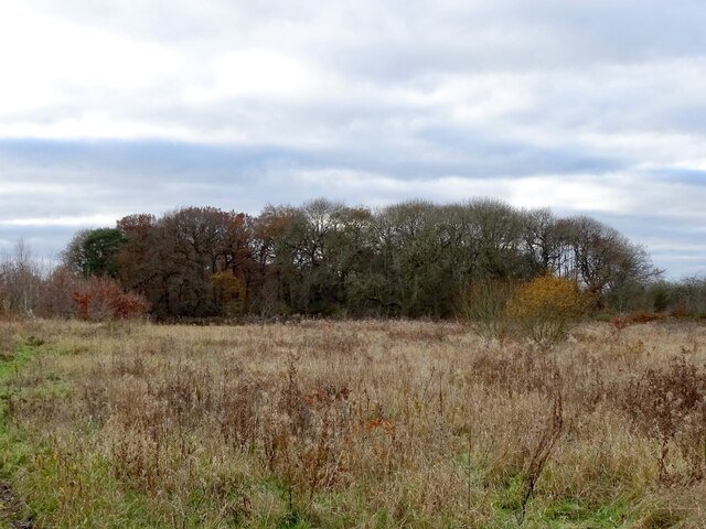
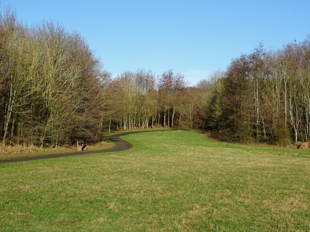
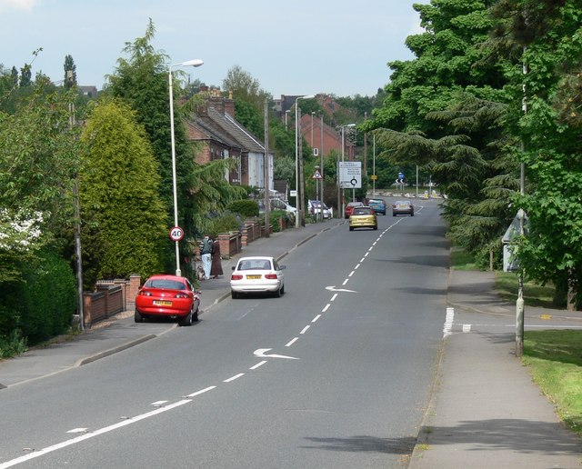
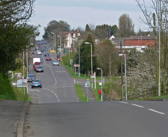
Ashby Woulds is a small village located in the county of Leicestershire, England. Situated approximately 10 miles northwest of Leicester, it is nestled in the heart of the National Forest. The village is predominantly residential and is surrounded by picturesque countryside, providing a peaceful and idyllic setting.

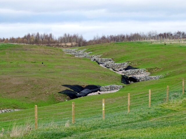
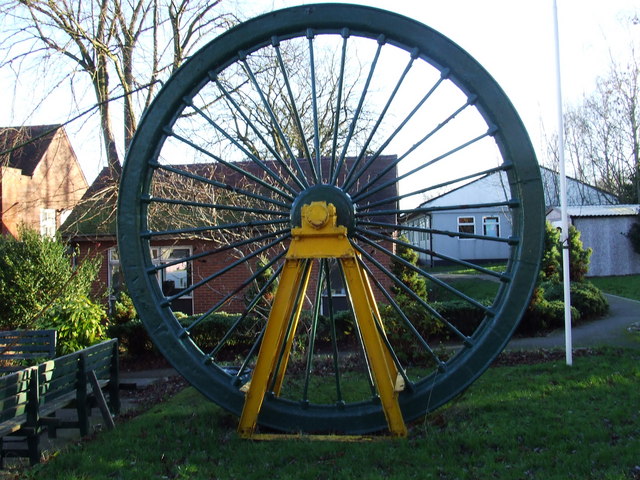
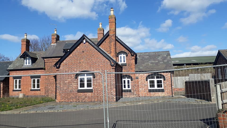
Ashby Woulds is known for its rich history, dating back to the early 19th century when it was a thriving mining community. The village takes its name from the nearby Ashby Woulds Colliery, which was once a significant source of employment for the local population. Although the colliery has long since closed, remnants of its industrial past can still be seen in the form of old mine buildings and railway lines.

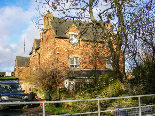
Today, Ashby Woulds retains much of its rural charm and offers a range of amenities to its residents. These include a village hall, a primary school, and a local pub, which serves as a social hub for the community. The village is also well-connected, with good transport links to nearby towns and cities.

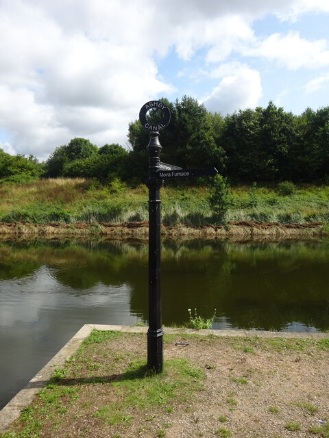
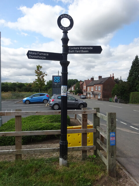
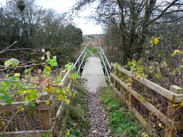
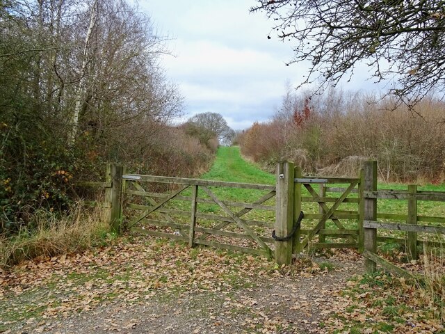
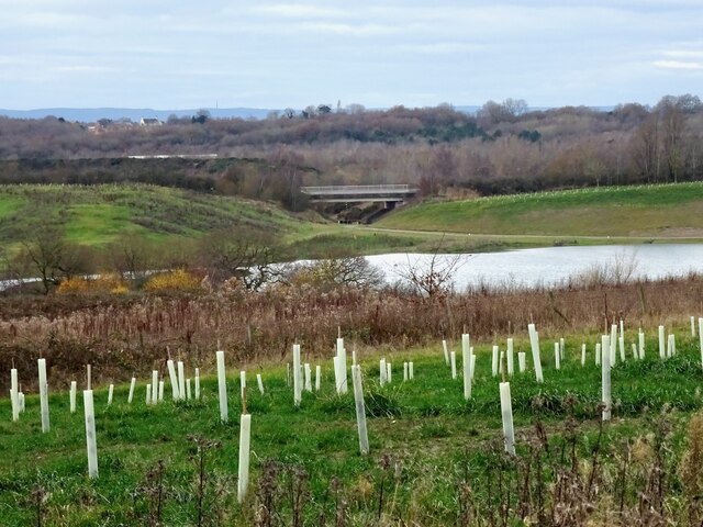
In addition to its natural beauty, Ashby Woulds is a popular destination for outdoor enthusiasts. The surrounding National Forest offers ample opportunities for walking, cycling, and other recreational activities. The nearby Moira Furnace Museum and Country Park provides visitors with a glimpse into the area's industrial heritage.

Overall, Ashby Woulds is a peaceful and close-knit village that combines history, natural beauty, and a strong sense of community, making it an attractive place to live or visit in Leicestershire.

If you have any feedback on the listing, please let us know in the comments section below.
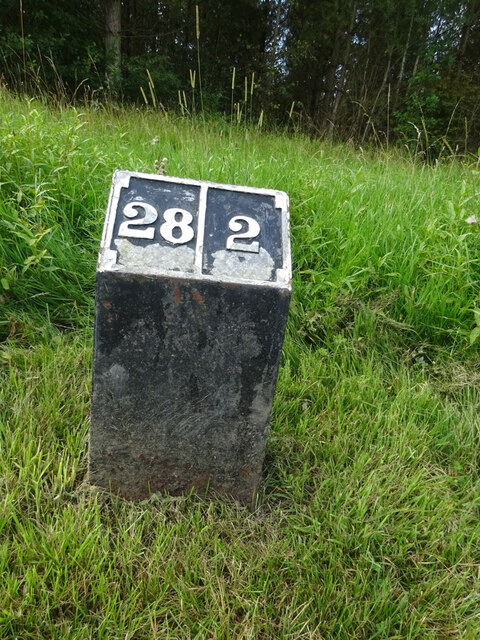
Ashby Woulds Images

Images are sourced within 2km of 52.742225/-1.5508616 or Grid Reference SK3016. Thanks to Geograph Open Source API. All images are credited.

Restored Milestone, Ashby Canal A modern representation of the mile peg that would have existed. This section of the canal has been restored and partly modified and truncated (by a mile) . It would have served the collieries in Donisthorpe & Moira. The mileage represents the original end to the canal - see <a href="https://www.geograph.org.uk/photo/343576">SK3114 : Wrong!</a>.

Inscription: 28 / 2

Milestone Society National ID: ASH-28
Restored Milestone, Ashby Canal
A modern representation of the mile peg that would have existed. This section of the canal has been restored and partly modified and truncated (by a mile) . It would have served the collieries in Donisthorpe & Moira. The mileage represents the original end to the canal - see SK3114 : Wrong!. Inscription: 28 / 2 Milestone Society National ID: ASH-28
Ashby Canal, Bath Yard Basin In the modern canal basin in Moira. This is the current terminus of the Ashby Canal, a land-locked section at the top end.

Inscription: Donisthorpe // Moira Furness

Milestone Society National ID: LE_SK3115BCAN
Ashby Canal, Bath Yard Basin
In the modern canal basin in Moira. This is the current terminus of the Ashby Canal, a land-locked section at the top end. Inscription: Donisthorpe // Moira Furness Milestone Society National ID: LE_SK3115BCAN
Ashby Canal, Fingerpost At Moira Lock, where the canal passes under Shortheath Road.

Inscription: Ashby Canal // Moira Furness / Donisthorpe // Conkers Waterside / Bath Yard Basin

Milestone Society National ID: LE_SK3115CAN
Ashby Canal, Fingerpost
At Moira Lock, where the canal passes under Shortheath Road. Inscription: Ashby Canal // Moira Furness / Donisthorpe // Conkers Waterside / Bath Yard Basin Milestone Society National ID: LE_SK3115CAN
Ashby Canal, Fingerpost Near Moira Furness. During a Folk Festival.

Inscription: Ashby Canal // Donisthorpe // Moira Lock // Conkers Waterside / Bath Yard Basin

Milestone Society National ID: LE_SK3115ACAN
Ashby Canal, Fingerpost
Near Moira Furness. During a Folk Festival. Inscription: Ashby Canal // Donisthorpe // Moira Lock // Conkers Waterside / Bath Yard Basin Milestone Society National ID: LE_SK3115ACAN
Measham Road, Moira The road between Donisthorpe (Measham) and Moira. The road in this view extends beyond the double mini-roundabouts in Moira, along Rawdon Road and under the railway bridge.
Measham Road, Moira
The road between Donisthorpe (Measham) and Moira. The road in this view extends beyond the double mini-roundabouts in Moira, along Rawdon Road and under the railway bridge.
Footbridge on the path to Occupation Lane An old field path off Mushroom Lane that has survived the many changes to the former farmland that it runs through.
Footbridge on the path to Occupation Lane
An old field path off Mushroom Lane that has survived the many changes to the former farmland that it runs through.
An entrance to the Pick Triangle Pick Triangle Wood is part of the National Forest, planted on a triangle of land reclaimed after coal and clay extraction.
An entrance to the Pick Triangle
Pick Triangle Wood is part of the National Forest, planted on a triangle of land reclaimed after coal and clay extraction.
Feanedock Covert The mature trees of the original Feanedock Covert have been here since at least the late 19th century. Much more recently, it has been added to with newly planted woodlands, as well as meadows and wetlands, as part of the National Forest.
Feanedock Covert
The mature trees of the original Feanedock Covert have been here since at least the late 19th century. Much more recently, it has been added to with newly planted woodlands, as well as meadows and wetlands, as part of the National Forest.
Land reclamation at Donington Quarry Meadowland, tree-planting and a lake have replaced the moonscape left by the former Donington Quarry.
Land reclamation at Donington Quarry
Meadowland, tree-planting and a lake have replaced the moonscape left by the former Donington Quarry.
Landscaped water channel at Donington Quarry Part of the restoration work underway at the former Donington Quarry
Landscaped water channel at Donington Quarry
Part of the restoration work underway at the former Donington Quarry
Sweethill Lodge Farm, Moira A very distinctive feature of this area, with few properties being of this age; it is not often that such stocky, robust and old-fashioned farmhouses are encountered today. The farm was the object of a substantial planning application, whereupon the farmland would be developed into housing and the farmhouse restored into a high-end property. This has not seen progress in the last seven years, so a farm it remains... probably for the better.
Sweethill Lodge Farm, Moira
A very distinctive feature of this area, with few properties being of this age; it is not often that such stocky, robust and old-fashioned farmhouses are encountered today. The farm was the object of a substantial planning application, whereupon the farmland would be developed into housing and the farmhouse restored into a high-end property. This has not seen progress in the last seven years, so a farm it remains... probably for the better.
A Victorian postbox (disused), Moira A compact iron post box, usually mounted on a telegraph pole or on a metal post, here embedded in a purpose-built brick column. Its era is indicated with the marking "V R" (Queen Victoria). The slot blocked with a steel plate, it has been clearly decommissioned in favour of a more recent post box (of the box-on-a-post variety), on the opposite side of the road.
A Victorian postbox (disused), Moira
A compact iron post box, usually mounted on a telegraph pole or on a metal post, here embedded in a purpose-built brick column. Its era is indicated with the marking "V R" (Queen Victoria). The slot blocked with a steel plate, it has been clearly decommissioned in favour of a more recent post box (of the box-on-a-post variety), on the opposite side of the road.
Ashby Road, Moira Taken from the slightly elevated position on the railway bridge, looking in the Ashby-de-la-Zouch direction. The telegraph pole in the foreground is of the antiquated "pepperpot" insulator variety, and dates from 1952.
Ashby Road, Moira
Taken from the slightly elevated position on the railway bridge, looking in the Ashby-de-la-Zouch direction. The telegraph pole in the foreground is of the antiquated "pepperpot" insulator variety, and dates from 1952.
Old reservoir fishing lake On old maps, this fishing lake is marked as a reservoir but with no indication as to its purpose. It is, however, next to the site of the former Rawdon and Marquis collieries, so could have served either of those.
Old reservoir fishing lake
On old maps, this fishing lake is marked as a reservoir but with no indication as to its purpose. It is, however, next to the site of the former Rawdon and Marquis collieries, so could have served either of those.
A busy day at the fishing lake A solitary angler sits by a partially-frozen fishing lake, on a sunny day in January.
A busy day at the fishing lake
A solitary angler sits by a partially-frozen fishing lake, on a sunny day in January.
Frosty footpath in Maybury Wood A field path to Blackfordby which runs along the edge of Maybury Wood and past the remains of Norris Hill Hall.
Frosty footpath in Maybury Wood
A field path to Blackfordby which runs along the edge of Maybury Wood and past the remains of Norris Hill Hall.
Hanginghill Farm
Hanginghill Farm
Sarah's Wood Sarah's Wood was created in the mid-1990s with the aim of being accessible to children of all abilities. It was named after a young girl with cerebral palsy, who won a competition in the Leicester Mercury.
Sarah's Wood
Sarah's Wood was created in the mid-1990s with the aim of being accessible to children of all abilities. It was named after a young girl with cerebral palsy, who won a competition in the Leicester Mercury.
Show me another place!

Ashby Woulds is located at Grid Ref: SK3016 (Lat: 52.742225, Lng: -1.5508616)

Administrative County: Leicestershire

District: North West Leicestershire

Police Authority: Leicestershire

What 3 Words

///assurance.menu.debt. Near Moira, Leicestershire

Related Wikis

Overseal and Moira railway station

Overseal and Moira railway station served the village of Overseal, Derbyshire, England, from 1873 to 1890 on the Ashby and Nuneaton Joint Railway. ��2...

Ashby Woulds Heritage Trail

The Ashby Woulds Heritage Trail is a footpath and cycleway along what was formerly the Ashby and Nuneaton railway line between Spring Cottage and Measham...

Overseal

Overseal is a village and civil parish in South Derbyshire district of Derbyshire, England. It is 3 miles (4.8 km) south of Swadlincote, 5 miles (8.0 km...

Moira, Leicestershire

Moira is a former mining village about 2.5 miles (4 km) south-west of Ashby-de-la-Zouch in North West Leicestershire, England. The village is about 3 miles...

Ashby Woulds

Ashby Woulds is a civil parish in Leicestershire, England. The population (including Albert Village) at the 2011 census was 3,763. It is in the North...

Moira railway station (England)

Moira railway station was a railway station at Moira, Leicestershire on the Leicester to Burton upon Trent Line. == History == The line was built for...
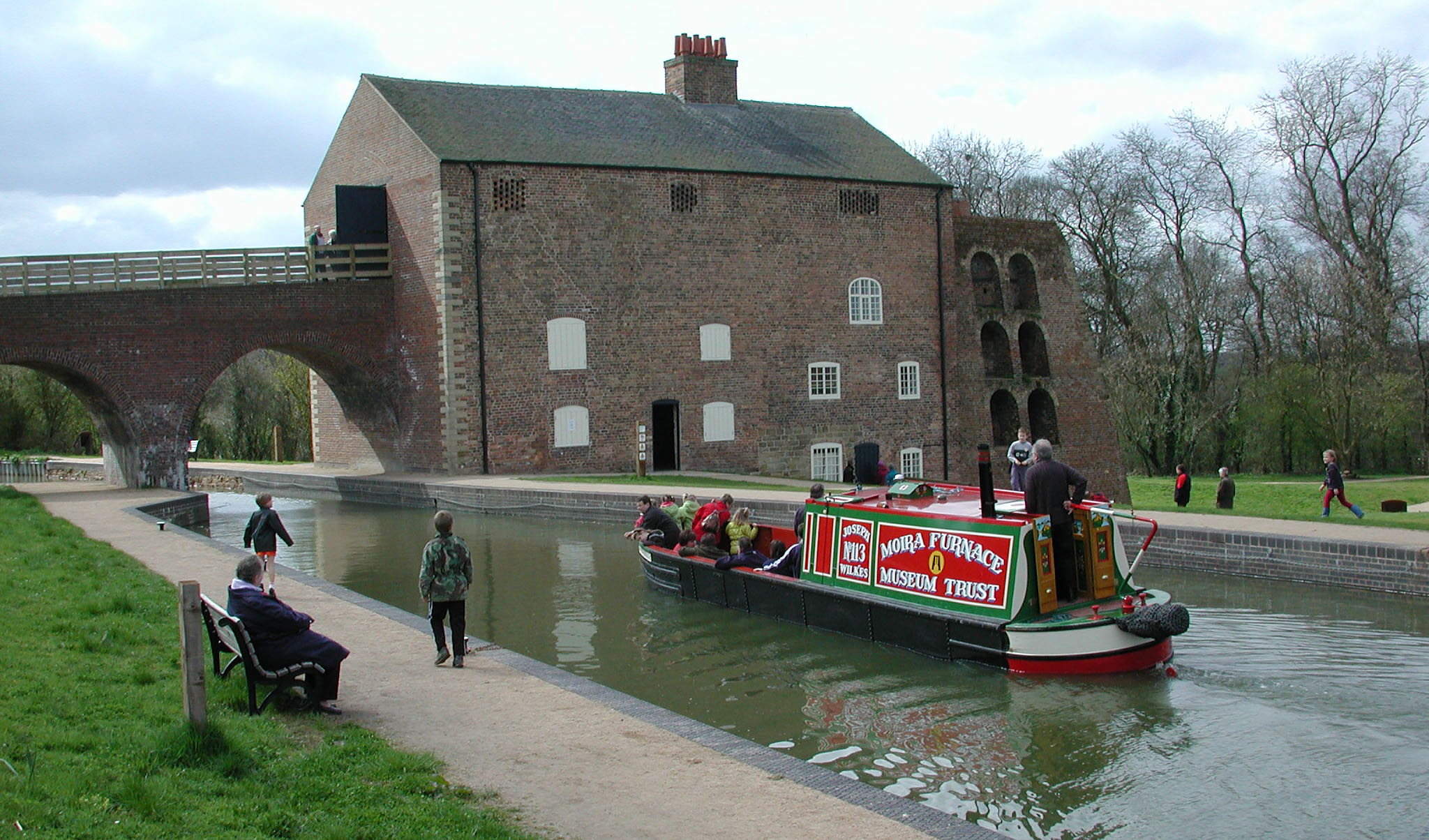
Moira Furnace

Moira Furnace is a nineteenth-century iron-making blast furnace located in Moira, Leicestershire, on the banks of the Ashby-de-la-Zouch Canal. Built by...

Short Heath, Derbyshire

Short Heath is a hamlet near Overseal, in South Derbyshire. It is on the border with Leicestershire and has a sign where it claims to be the centre of...

Nearby Amenities

Located within 500m of 52.742225,-1.5508616
Barrier: cycle_barrier
Lat/Long: 52.7429972/-1.5512164
Addr Country: GB
Addr Housenumber: 183
Source: survey
Lat/Long: 52.7392634/-1.5555241
Barrier: stile
Foot: yes
Source: survey
Lat/Long: 52.7385829/-1.5549249
Barrier: stile
Foot: yes
Lat/Long: 52.7383047/-1.5514704
Bus Stop
Slackey Lane
Alt Name: Moira - Slackey Lane
Bus: yes
Naptan AltCommonName: Moira - Slackey Lane
Naptan AtcoCode: 260013118
Naptan Bearing: SE
Naptan CommonName: Slackey Lane
Naptan Indicator: adjacent
Naptan Landmark: Spring Cottage Road
Naptan NaptanCode: leijdmtj
Naptan Notes: Non-Hourly - County
Naptan Street: Slackey Lane
Naptan Verified: no
Public Transport: platform
Source: naptan_import
Lat/Long: 52.740195/-1.5538747
Bus Stop
The Navigation
Alt Name: Overseal - Spring Cottage Road
Bus: yes
Naptan AltCommonName: Overseal - Spring Cottage Road
Naptan AtcoCode: 260013119
Naptan Bearing: NE
Naptan CommonName: The Navigation
Naptan Indicator: opposite
Naptan Landmark: The Navigation
Naptan NaptanCode: leijdmtm
Naptan Notes: Non-Hourly - County
Naptan Street: Slackey Lane
Naptan Verified: no
Public Transport: platform
Source: naptan_import
Lat/Long: 52.7422909/-1.551824
Bus Stop
The Navigation
Bus: yes
Naptan AtcoCode: 260013146
Naptan Bearing: SW
Naptan BusStopType: CUS
Naptan CommonName: The Navigation
Naptan Indicator: outside
Naptan Landmark: The Navigation
Naptan NaptanCode: leijdpgj
Naptan Notes: Non-Hourly - County
Naptan Street: Spring Cottage Road
Naptan Verified: no
Public Transport: platform
Source: naptan_import
Lat/Long: 52.7421199/-1.5517665
Addr City: Swadlincote
Addr Postcode: DE12 6ND
Addr Street: Spring Cottage Road
Addr Village: Moira
Disused Amenity: pub
Old Name: Navigation Inn
Lat/Long: 52.7424344/-1.5511807
Post Box
Operator: Royal Mail
Operator Wikidata: Q638098
Ref: DE12 1161
Lat/Long: 52.7428898/-1.55088
Note: 50 mph speed limit sign NE-bound
Lat/Long: 52.7456/-1.5477239
Barrier: cycle_barrier
Source: survey
Lat/Long: 52.7403578/-1.5539285
Barrier: stile
Foot: yes
Source: survey
Lat/Long: 52.7441026/-1.5496738
Moira West Junction
Railway: junction
Lat/Long: 52.7429426/-1.5506337
Toilets
Lat/Long: 52.7395497/-1.5508207
Barrier: lift_gate
Lat/Long: 52.7389736/-1.5508058
Power: pole
Lat/Long: 52.7377809/-1.5504509
Power: pole
Lat/Long: 52.7386359/-1.5514688
Power: pole
Lat/Long: 52.737871/-1.5503168
Power: pole
Lat/Long: 52.738713/-1.5513119
Power: pole
Lat/Long: 52.7395818/-1.5525833
Power: pole
Lat/Long: 52.7396728/-1.5524492
Power: pole
Lat/Long: 52.7405107/-1.5531009
Power: pole
Lat/Long: 52.7404579/-1.5531707
Railway: switch
Lat/Long: 52.7444239/-1.5531565
Woodville Junction
Railway: junction
Lat/Long: 52.7453319/-1.5547029
Railway: switch
Lat/Long: 52.7445802/-1.553354
Location Transition: yes
Power: pole
Lat/Long: 52.7413876/-1.5472028
Power: pole
Lat/Long: 52.7408444/-1.5482233
Power: pole
Lat/Long: 52.7408485/-1.5494263
Power: pole
Lat/Long: 52.7408233/-1.5508331
Power: pole
Lat/Long: 52.7405675/-1.5513039
Power: pole
Lat/Long: 52.7406991/-1.5528944
The data included in this document is from www.openstreetmap.org. The data is made available under ODbL.

Have you been to Ashby Woulds?

Leave your review of Ashby Woulds below (or comments, questions and feedback).