Ashbrook
Settlement in Hertfordshire North Hertfordshire
England
Ashbrook
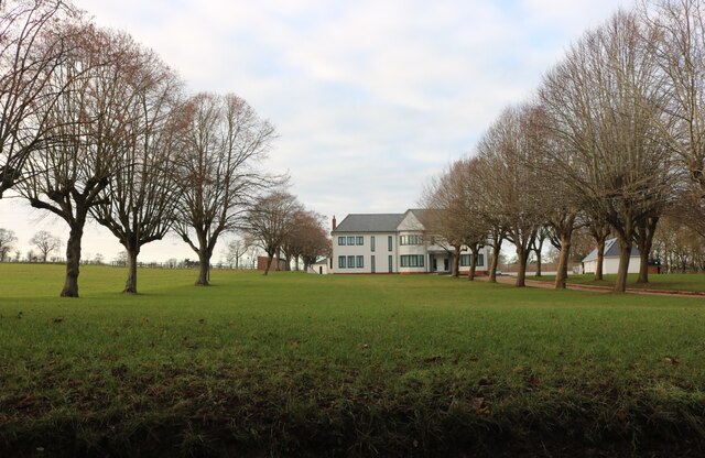
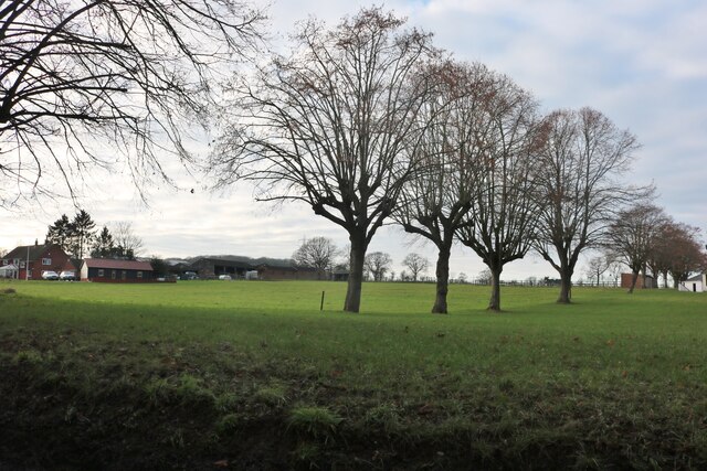
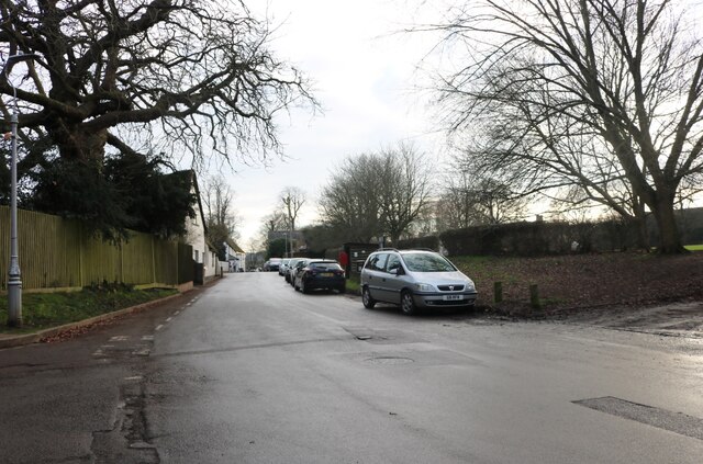
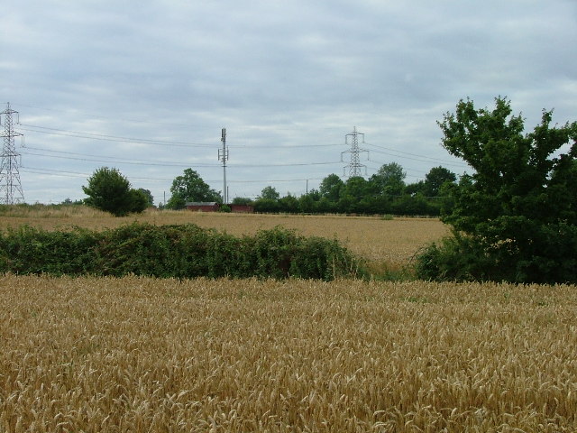
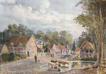
Ashbrook is a small village located in the county of Hertfordshire, England. Situated approximately 4 miles southwest of the town of Hitchin, Ashbrook is nestled in a picturesque rural setting. The village is surrounded by open fields, rolling hills, and scenic landscapes, making it an idyllic place for those seeking a peaceful and tranquil lifestyle.
Ashbrook is home to a tight-knit community, with a population of around 300 residents. The village boasts a strong sense of community spirit, with regular social events and gatherings organized by local groups and organizations. This contributes to a friendly and welcoming atmosphere that is characteristic of Ashbrook.
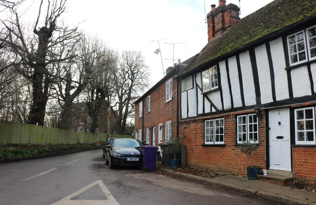
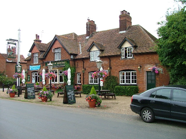
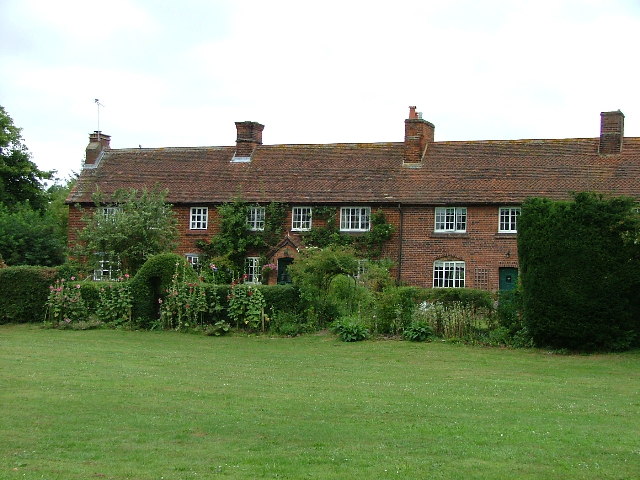
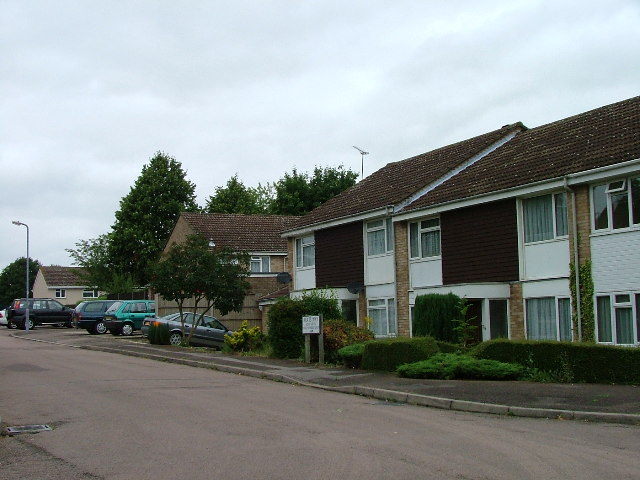
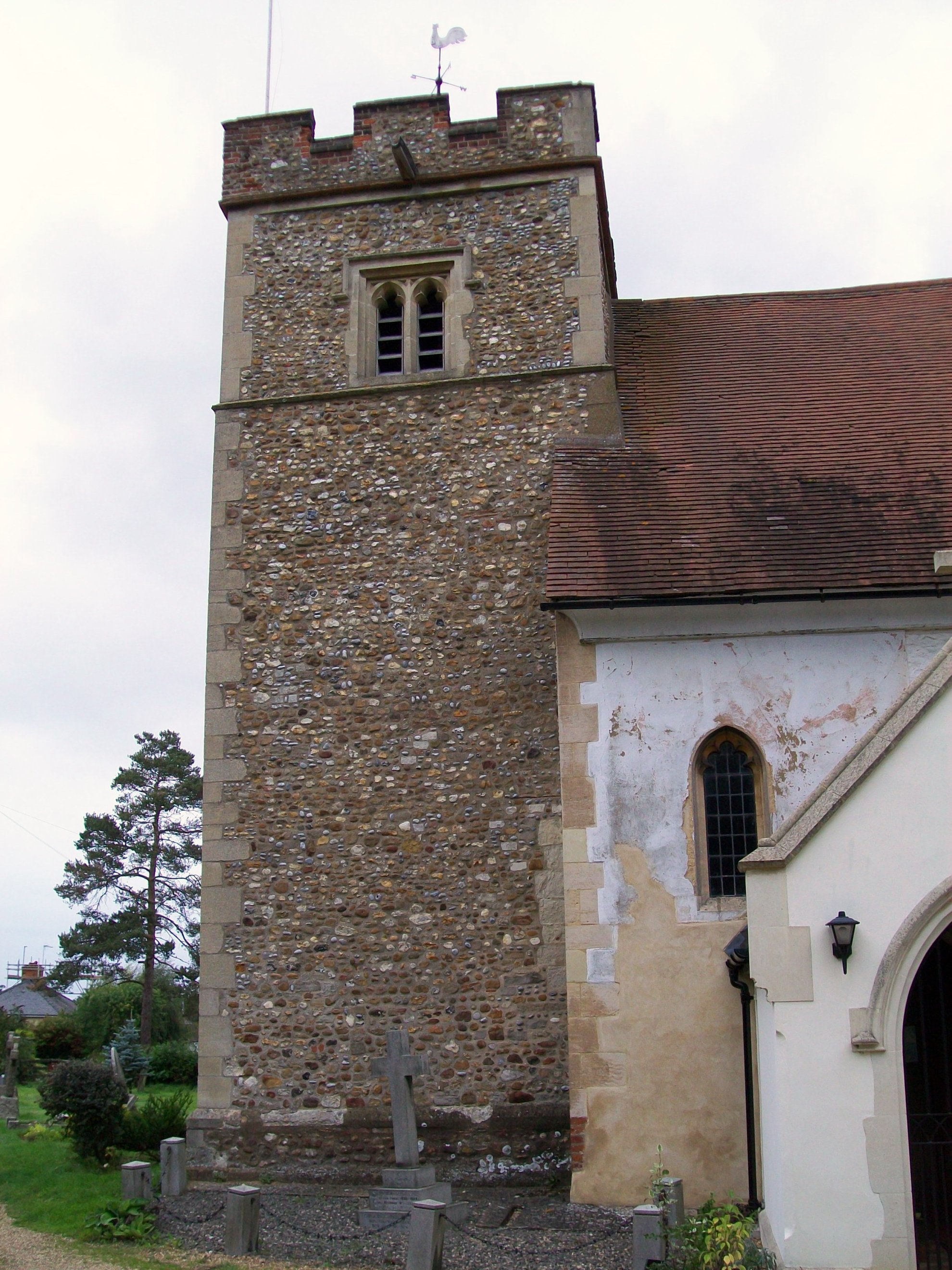
The village itself features a mixture of architectural styles, ranging from traditional cottages to more modern houses. The local church, St. Mary's, is a notable landmark, dating back to the 12th century. It is a place of worship for residents and visitors alike and holds regular services throughout the year.
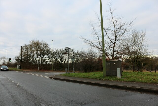
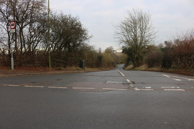
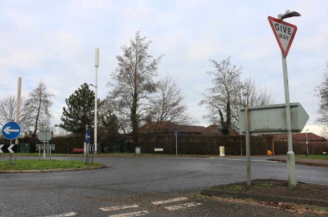
In terms of amenities, Ashbrook has limited facilities within the village itself. However, nearby towns such as Hitchin offer a wider range of shops, schools, and healthcare services. The village is well-connected to the surrounding areas by a network of roads, making it easily accessible for commuters.
Overall, Ashbrook offers a charming and peaceful environment, with its natural beauty and strong sense of community being the main attractions for those who choose to call it home.
If you have any feedback on the listing, please let us know in the comments section below.
Ashbrook Images
Images are sourced within 2km of 51.935339/-0.25233258 or Grid Reference TL2027. Thanks to Geograph Open Source API. All images are credited.


Ashbrook is located at Grid Ref: TL2027 (Lat: 51.935339, Lng: -0.25233258)
Administrative County: Hertfordshire
District: North Hertfordshire
Police Authority: Hertfordshire
What 3 Words
///wisdom.port.fats. Near Hitchin, Hertfordshire
Nearby Locations
Related Wikis
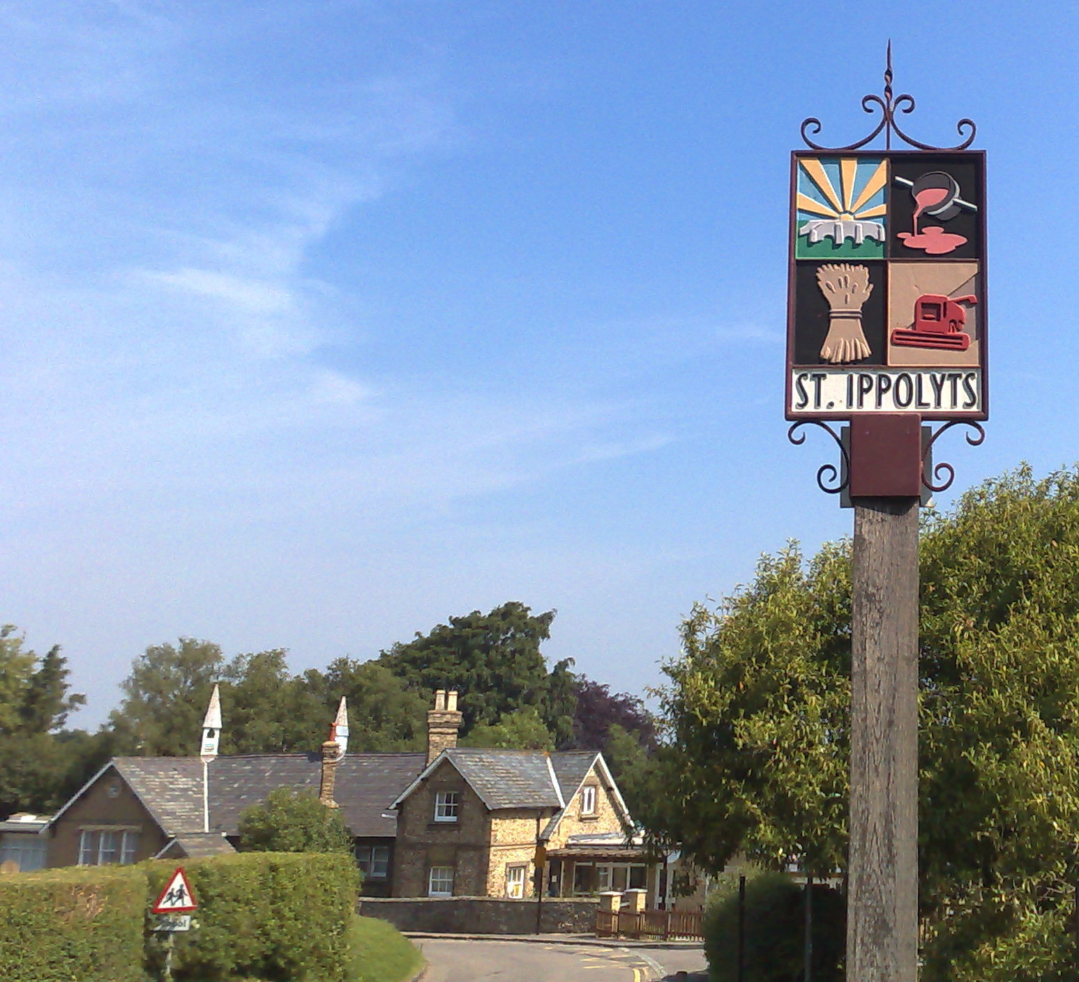
St Ippolyts
St Ippolyts (or St Ippollitts) is a village and civil parish on the southern edge of Hitchin in Hertfordshire, England. It has a population of approximately...

Wymondley
Wymondley is a civil parish in Hertfordshire, England. The parish was created on 1 April 1937 as a merger of the two former parishes of Great Wymondley...
Wymondley College
Wymondley College was a dissenting academy at Wymondley House in Little Wymondley, Hertfordshire, England. Intended for the education of future nonconformist...
Wymondley House
Wymondley House is a building in the North Hertfordshire village of Little Wymondley that was built in 1724. At one time the home of a dissenting academy...
Gosmore
Gosmore is a hamlet in the parish of St Ippolyts (where the population at the 2011 Census was included) near Hitchin in Hertfordshire, England. One interesting...
Little Wymondley
Little Wymondley is a village and former civil parish situated between Hitchin and Stevenage, now in the parish of Wymondley, in the North Hertfordshire...

Highbury Ward
Highbury Ward is an electoral ward in Hitchin, Hertfordshire. It covers 230.174 hectares. It is a largely residential area bounded roughly to the north...
Sunnyside (Hitchin)
Sunnyside is a residential area of Hitchin in Hertfordshire. It was built in 1926 by Hitchin Urban District Council to house those displaced by slum clearance...
Nearby Amenities
Located within 500m of 51.935339,-0.25233258Have you been to Ashbrook?
Leave your review of Ashbrook below (or comments, questions and feedback).