Ash Brake

Settlement in Wiltshire

England

Ash Brake

Blunsdon Village Hall Former school in the village.
Blunsdon Village Hall Credit: Gareth James

Ash Brake is a small village located in the county of Wiltshire, England. Situated approximately 4 miles southwest of the market town of Devizes, Ash Brake is known for its picturesque setting and tranquil atmosphere. The village is nestled amidst rolling hills and open countryside, offering residents and visitors a chance to escape the hustle and bustle of city life.

The history of Ash Brake can be traced back several centuries, with evidence of human habitation in the area from as early as the Roman period. Today, the village retains much of its traditional charm, with a collection of well-preserved historic buildings and thatched cottages dotting the landscape.

Despite its small size, Ash Brake boasts a strong sense of community, with a close-knit population that actively participates in local events and initiatives. The village has a small primary school, a church, and a village hall that serves as a focal point for social gatherings and activities.

Nature lovers are drawn to Ash Brake for its abundance of green spaces and walking trails, providing opportunities for outdoor recreation and exploration. The village is also surrounded by several nature reserves and parks, making it an ideal base for those seeking to immerse themselves in the natural beauty of the Wiltshire countryside.

In conclusion, Ash Brake offers a tranquil and idyllic setting for those seeking a peaceful retreat. With its rich history, strong sense of community, and stunning natural surroundings, this quaint village in Wiltshire is a hidden gem worth exploring.

If you have any feedback on the listing, please let us know in the comments section below.
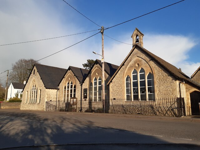
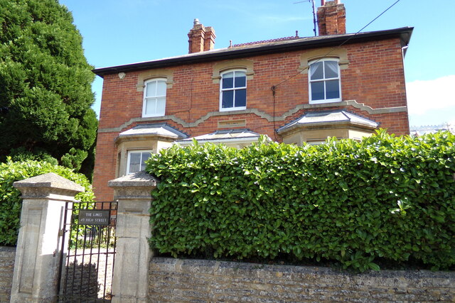
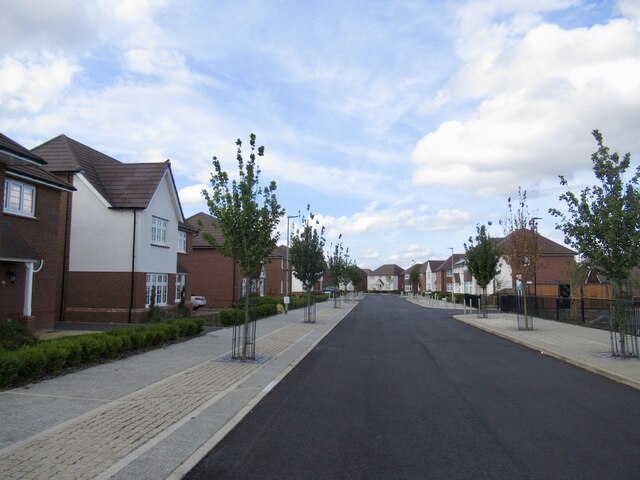
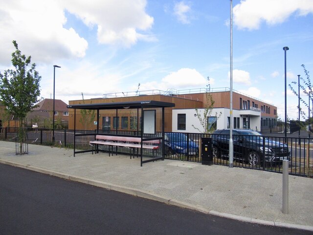
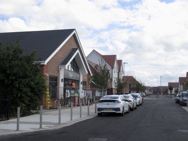
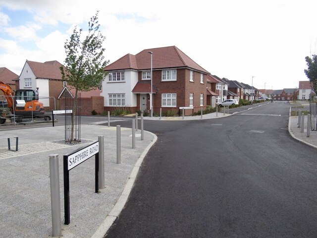
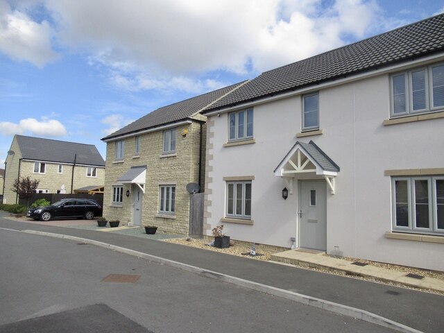
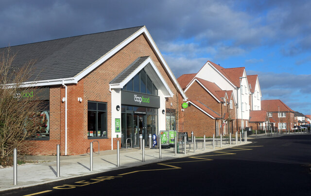
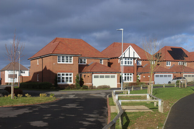
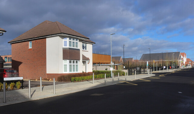
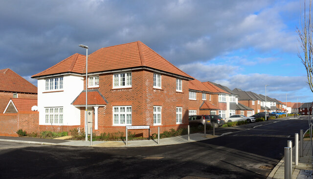
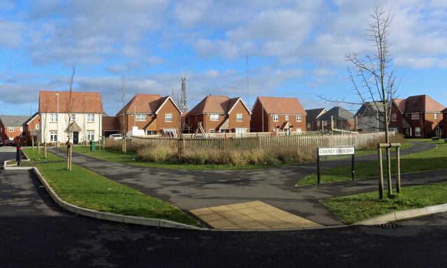
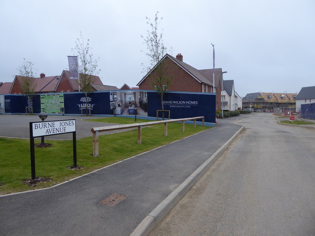
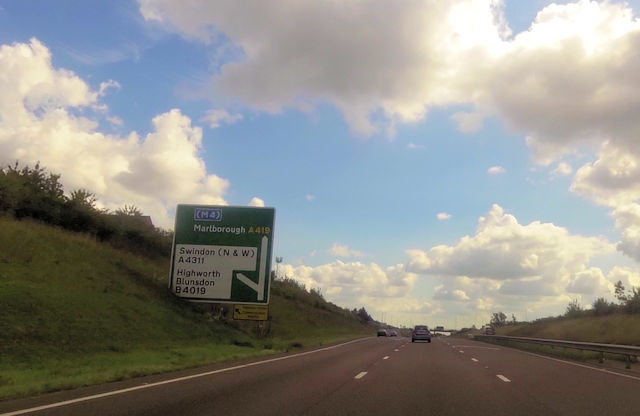
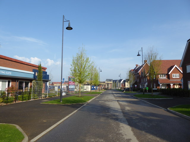
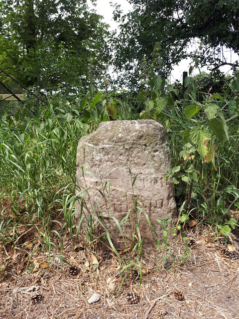
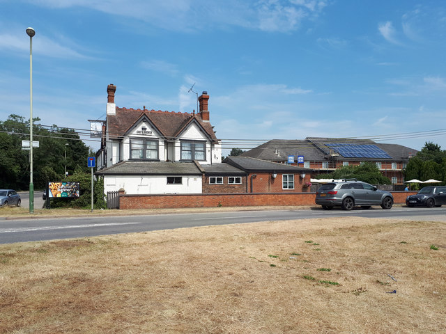
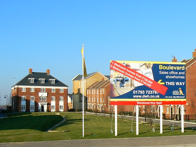
Ash Brake Images

Images are sourced within 2km of 51.601078/-1.8017887 or Grid Reference SU1389. Thanks to Geograph Open Source API. All images are credited.

Blunsdon Village Hall Former school in the village.
Blunsdon Village Hall
Former school in the village.
The Limes, Blunsdon On High Street
The Limes, Blunsdon
On High Street
The Limes sign On High Street
The Limes sign
On High Street
On Blunsdon Hill Diamond Crescent in a newly built housing development.
On Blunsdon Hill
Diamond Crescent in a newly built housing development.
Primary school, Blunsdon Hill A newly built school.
Primary school, Blunsdon Hill
A newly built school.
Co-op, Blunsdon Hill Not yet open but very nearly completed.
Co-op, Blunsdon Hill
Not yet open but very nearly completed.
Sapphire Road A new housing development on a hill top.
Sapphire Road
A new housing development on a hill top.
Robinscroft Possible summit of Blunsdon Hill with newly built houses.
Robinscroft
Possible summit of Blunsdon Hill with newly built houses.
Co-op Store, Diamond Crescent Only recently opened. Richard Webb's picture from 5 months ago <a href="https://www.geograph.org.uk/photo/7272000">SU1390 : Co-op, Blunsdon Hill</a>  shows contractors still finishing off the frontage.
Diamond Crescent is one of a number of nearby streets to have the name of a gemstone.
Co-op Store, Diamond Crescent
Only recently opened. Richard Webb's picture from 5 months ago SU1390 : Co-op, Blunsdon Hill shows contractors still finishing off the frontage. Diamond Crescent is one of a number of nearby streets to have the name of a gemstone.
Jade Close We have moved away from the architectural extravagance of some of the housing just a few blocks to the south.
A comfortable 1930s style retro is more the fashion here.
Jade Close is one of a number of local streets to have the name of a gemstone.
Jade Close
We have moved away from the architectural extravagance of some of the housing just a few blocks to the south. A comfortable 1930s style retro is more the fashion here. Jade Close is one of a number of local streets to have the name of a gemstone.
Diamond Crescent The nearby streets have gemstone names as well.
Diamond Crescent
The nearby streets have gemstone names as well.
Emerald Crescent and Sapphire Road New housing, with roads named after gemstones.
Emerald Crescent and Sapphire Road
New housing, with roads named after gemstones.
Sapphire Road and Garnet Crescent A small park and play area in a new neighbourhood with gemstone street names.
Sapphire Road and Garnet Crescent
A small park and play area in a new neighbourhood with gemstone street names.
Burne Jones Avenue, Tadpole Garden Village Houses being built in the new development on Tadpole Farm. The streets are all named after Pre-Raphaelites.
Burne Jones Avenue, Tadpole Garden Village
Houses being built in the new development on Tadpole Farm. The streets are all named after Pre-Raphaelites.
Approaching Lady Lane junction
William Morris Street, Tadpole Garden Village Two years on from my last photograph <a href="https://www.geograph.org.uk/photo/5036498">SU1290 : Burne Jones Avenue, Tadpole Garden Village</a>, the village is established and settled.
William Morris Street, Tadpole Garden Village
Two years on from my last photograph SU1290 : Burne Jones Avenue, Tadpole Garden Village, the village is established and settled.
Milestone, Broad Blunsdon
The Cold Harbour and the Premier Inn The Cold Harbour pub is on the left, the Premier Inn on the right.
The Cold Harbour and the Premier Inn
The Cold Harbour pub is on the left, the Premier Inn on the right.
Show me another place!

Ash Brake is located at Grid Ref: SU1389 (Lat: 51.601078, Lng: -1.8017887)

Unitary Authority: Swindon

Police Authority: Wiltshire

What 3 Words

///student.wound.static. Near Broad Blunsdon, Wiltshire

Nearby Locations

Ash Brake Abbey Gardens

Related Wikis

Priory Vale

Priory Vale is a community in the north of the town of Swindon, Wiltshire, England, which comprises the urban villages of Redhouse, Oakhurst and Haydon...

Swindon Stadium

Swindon Stadium, also known as the Abbey Stadium, is a Greyhound Board of Great Britain regulated greyhound racing track and former speedway track in Blunsdon...

Nova Hreod Academy

Nova Hreod Academy (formerly Hreod Burna Senior High School, Hreod Parkway School and Nova Hreod College) is a mixed secondary school with academy status...

Haydon Wick

The civil parish of Haydon Wick is a northern suburb of the town of Swindon, Wiltshire, in England. It had a population of 25,036 at the 2021 census. The...

Nearby Amenities

Located within 500m of 51.601078,-1.8017887
Crossing
Crossing: traffic_signals
Lat/Long: 51.6007518/-1.7963491
Mini Roundabout
Direction: clockwise
Lat/Long: 51.5984164/-1.7968656
Crossing
Button Operated: yes
Crossing: traffic_signals
Crossing Island: yes
Tactile Paving: yes
Lat/Long: 51.5995351/-1.806754
Barrier: bollard
Bicycle: yes
Foot: yes
Lat/Long: 51.6033559/-1.8024292
Mini Roundabout
Direction: clockwise
Lat/Long: 51.6028465/-1.8006083
Traffic Calming: table
Lat/Long: 51.6023945/-1.8007188
Traffic Calming: table
Lat/Long: 51.6017341/-1.8005802
Mini Roundabout
Direction: clockwise
Lat/Long: 51.6011284/-1.8008639
Traffic Calming: table
Lat/Long: 51.6051097/-1.8000097
Traffic Calming: table
Lat/Long: 51.6046436/-1.7982716
Crossing
Crossing: marked
Crossing Ref: zebra
Tactile Paving: yes
Lat/Long: 51.598984/-1.8075691
Mini Roundabout
Direction: clockwise
Lat/Long: 51.5970814/-1.8000605
Turning Circle
Turning Circle: knuckle
Lat/Long: 51.6003915/-1.795265
Traffic Calming: table
Lat/Long: 51.6050996/-1.8007482
Pub
Blunsdon Arms
Addr Postcode: SN25 2NA
Addr Street: Lady Lane
Brand: Ember Inns
Brand Wikidata: Q116272278
Contact Website: https://www.emberinns.co.uk/nationalsearch/southwest/the-blunsdon-arms-swindon
Fhrs Id: 252750
Source Addr: FHRS Open Data
Lat/Long: 51.6001877/-1.8018092
Barrier: bollard
Bicycle: yes
Foot: yes
Lat/Long: 51.5973004/-1.8030662
Turning Circle
Lat/Long: 51.5967654/-1.8014291
Crossing
Crossing: uncontrolled
Crossing Markings: yes
Lat/Long: 51.597048/-1.8026749
Crossing
Bicycle: yes
Crossing: traffic_signals
Crossing Ref: toucan
Lat/Long: 51.5969649/-1.8033604
Barrier: bollard
Bicycle: yes
Foot: yes
Lat/Long: 51.5967499/-1.8032105
Mini Roundabout
Direction: clockwise
Lat/Long: 51.5970024/-1.7997589
Traffic Calming: table
Lat/Long: 51.5996204/-1.7968951
Traffic Calming: hump
Lat/Long: 51.5991082/-1.7957907
Waste Basket
Waste: dog_excrement
Lat/Long: 51.599311/-1.7977008
Bus Stop
Heaton Road
Bench: yes
Bus: yes
Naptan AtcoCode: 4680SWA10565
Naptan Bearing: W
Naptan CommonName: Heaton Close
Naptan Indicator: W-bound
Naptan NaptanCode: swiatap
Naptan PlusbusZoneRef: SDON
Naptan Street: Shepperton Way
Naptan Verified: no
Public Transport: platform
Shelter: yes
Source: naptan;bing
Tactile Paving: no
Lat/Long: 51.5969563/-1.7995138
Barrier: bollard
Bicycle: yes
Foot: yes
Lat/Long: 51.5974396/-1.8024321
Barrier: bollard
Bicycle: yes
Foot: yes
Lat/Long: 51.5991763/-1.7973133
Traffic Calming: table
Lat/Long: 51.5980274/-1.7998522
Barrier: bollard
Bicycle: yes
Foot: yes
Lat/Long: 51.5999956/-1.7974672
Leisure: playground
Lat/Long: 51.5996557/-1.7980521
Direction: both
Traffic Calming: choker
Lat/Long: 51.5975324/-1.7997885
Traffic Calming: table
Lat/Long: 51.5986107/-1.7983173
Traffic Calming: table
Lat/Long: 51.5971499/-1.8010925
Direction: both
Surface: paving_stones
Traffic Calming: choker
Lat/Long: 51.5980294/-1.8011852
Barrier: cycle_barrier
Lat/Long: 51.5986839/-1.7983335
Crossing
Crossing: unmarked
Crossing Island: no
Crossing Markings: no
Tactile Paving: yes
Lat/Long: 51.5987798/-1.796291
Direction: both
Traffic Calming: choker
Lat/Long: 51.5975547/-1.8009519
Barrier: bollard
Bicycle: yes
Foot: yes
Lat/Long: 51.5996162/-1.7986289
Traffic Calming: table
Lat/Long: 51.5991412/-1.7963455
Traffic Calming: table
Lat/Long: 51.5987051/-1.7973968
Barrier: cycle_barrier
Lat/Long: 51.5998587/-1.7994133
Turning Circle
Turning Circle: knuckle
Lat/Long: 51.5993896/-1.7994499
Barrier: cycle_barrier
Lat/Long: 51.5985644/-1.7983052
Mini Roundabout
Direction: clockwise
Lat/Long: 51.5986807/-1.795882
Traffic Calming: choker
Lat/Long: 51.5977551/-1.798755
Mini Roundabout
Direction: clockwise
Lat/Long: 51.598645/-1.7962078
Traffic Calming: hump
Lat/Long: 51.5991325/-1.799012
Traffic Calming: table
Lat/Long: 51.5980365/-1.8007876
Leisure: playground
Lat/Long: 51.5984696/-1.799699
Traffic Calming: table
Lat/Long: 51.5979046/-1.8017892
Groundwell Ridge Roman Site
Historic: archaeological_site
Lat/Long: 51.6041026/-1.800141
Bus Stop
Fenton Avenue
Bench: no
Bin: no
Bus: yes
Naptan AtcoCode: 4680SWA56538
Naptan Bearing: N
Naptan CommonName: Fenton Avenue
Naptan Indicator: N-bound
Naptan NaptanCode: swimdmg
Naptan PlusbusZoneRef: SDON
Naptan Street: Eastbury Way
Naptan Verified: no
Public Transport: platform
Shelter: no
Tactile Paving: no
Lat/Long: 51.6003525/-1.8078015
Barrier: cycle_barrier
Cycle Barrier: single
Cycle Barrier Installation: openable
Lat/Long: 51.599878/-1.8065694
Barrier: bollard
Bicycle: yes
Foot: yes
Lat/Long: 51.6032569/-1.804999
Bench
Lat/Long: 51.6023697/-1.8043205
Barrier: bollard
Bicycle: yes
Foot: yes
Lat/Long: 51.6030419/-1.8052503
Bench
Lat/Long: 51.599978/-1.8047056
Traffic Signals
Traffic Signals Direction: forward
Lat/Long: 51.5997826/-1.8065712
Barrier: bollard
Bicycle: yes
Foot: yes
Lat/Long: 51.600968/-1.8072771
Waste Basket
Waste: dog_excrement
Lat/Long: 51.6040192/-1.8023596
Barrier: bollard
Bicycle: yes
Foot: yes
Lat/Long: 51.6011919/-1.8044746
Traffic Calming: table
Lat/Long: 51.6013707/-1.8047824
Waste Basket
Lat/Long: 51.6009851/-1.8064671
Traffic Calming: table
Lat/Long: 51.6012408/-1.8042721
Bench
Lat/Long: 51.6000047/-1.805513
Barrier: bollard
Bicycle: yes
Foot: yes
Lat/Long: 51.6033799/-1.8058642
Waste Basket
Lat/Long: 51.5999797/-1.804605
Barrier: bollard
Bicycle: yes
Foot: yes
Lat/Long: 51.6018265/-1.8039923
Barrier: bollard
Bicycle: yes
Foot: yes
Lat/Long: 51.6023069/-1.8044266
Bench
Lat/Long: 51.6040648/-1.8023802
Barrier: bollard
Bicycle: yes
Foot: yes
Lat/Long: 51.6008525/-1.8070518
Waste Basket
Waste: dog_excrement
Lat/Long: 51.6001404/-1.8030101
Barrier: bollard
Bicycle: yes
Foot: yes
Lat/Long: 51.6031508/-1.8051731
Barrier: bollard
Bicycle: yes
Foot: yes
Lat/Long: 51.6029519/-1.8050583
Bench
Lat/Long: 51.602525/-1.8044882
Bench
Backrest: yes
Lat/Long: 51.6000601/-1.8063779
Waste Basket
Waste: dog_excrement
Lat/Long: 51.6042271/-1.8039234
Traffic Calming: table
Lat/Long: 51.6005619/-1.8039716
Barrier: cycle_barrier
Cycle Barrier: double
Cycle Barrier Installation: openable
Lat/Long: 51.6001708/-1.8075395
Bus Stop
Fenton Avenue
Bench: no
Bin: no
Bus: yes
Naptan AtcoCode: 4680SWA56539
Naptan Bearing: S
Naptan CommonName: Fenton Avenue
Naptan Indicator: S-bound
Naptan NaptanCode: swimdmj
Naptan PlusbusZoneRef: SDON
Naptan Street: Eastbury Way
Naptan Verified: no
Public Transport: platform
Shelter: no
Tactile Paving: no
Lat/Long: 51.6003096/-1.8076291
Barrier: bollard
Bicycle: yes
Foot: yes
Lat/Long: 51.6030218/-1.8082379
Traffic Calming: table
Lat/Long: 51.6010109/-1.8031458
Waste Basket
Waste: dog_excrement
Lat/Long: 51.6023984/-1.8041552
Waste Basket
Waste: dog_excrement
Lat/Long: 51.6010353/-1.805354
Barrier: bollard
Lat/Long: 51.6001034/-1.8028812
Waste Basket
Waste: dog_excrement
Lat/Long: 51.6012108/-1.8045097
Barrier: bollard
Bicycle: yes
Foot: yes
Lat/Long: 51.6031736/-1.8058088
Crossing
Crossing: unmarked
Crossing Markings: no
Lat/Long: 51.6029477/-1.8083503
Traffic Signals
Traffic Signals: signal
Lat/Long: 51.5994152/-1.8020208
Ash Brake
Place: neighbourhood
Lat/Long: 51.6019856/-1.8001424
Barrier: cycle_barrier
Lat/Long: 51.5997656/-1.8016344
Mini Roundabout
Direction: clockwise
Lat/Long: 51.6018216/-1.7980436
Traffic Calming: table
Lat/Long: 51.6013868/-1.7983448
Crossing
Crossing Ref: zebra
Lat/Long: 51.5985849/-1.805318
Barrier: bollard
Bicycle: yes
Foot: yes
Lat/Long: 51.6008922/-1.8005672
Traffic Signals
Lat/Long: 51.5995452/-1.8065606
Traffic Calming: table
Lat/Long: 51.6009539/-1.7995951
Traffic Signals
Traffic Signals Direction: forward
Lat/Long: 51.6008782/-1.79613
Traffic Signals
Traffic Signals: signal
Lat/Long: 51.599748/-1.8022333
Traffic Calming: table
Lat/Long: 51.6022753/-1.7984866
Man Made: tower
Tower Type: communication
Lat/Long: 51.5992611/-1.802725
Traffic Signals
Lat/Long: 51.5993539/-1.8024761
Crossing
Crossing Ref: zebra
Lat/Long: 51.5981403/-1.8049492
Traffic Calming: table
Lat/Long: 51.6029434/-1.8010539
Street Lamp
Swindon Travel #14
Orienteering: pole
Lat/Long: 51.5986892/-1.802809
Crossing
Crossing: traffic_signals
Lat/Long: 51.5994133/-1.8023109
Bench
Lat/Long: 51.6026292/-1.7957363
Post Box
Collection Times: Mo-Fr 17:30; Sa 12:00
Ref: SN25 106
Lat/Long: 51.6010317/-1.8006452
Crossing
Crossing Ref: zebra
Lat/Long: 51.5985537/-1.8034205
Crossing
Crossing: traffic_signals
Lat/Long: 51.5994154/-1.8022161
Crossing
Button Operated: yes
Crossing: traffic_signals
Crossing Island: yes
Tactile Paving: yes
Lat/Long: 51.5996987/-1.8064371
Barrier: bollard
Bicycle: yes
Foot: yes
Lat/Long: 51.6022417/-1.7996012
Barrier: bollard
Bicycle: yes
Foot: yes
Lat/Long: 51.6001446/-1.8001074
Crossing
Crossing Ref: zebra
Lat/Long: 51.5987629/-1.8054657
Bus Stop
Stenbury Close
Bench: no
Bus: yes
Naptan AtcoCode: 4680SWA01147
Naptan Bearing: NE
Naptan CommonName: Stenbury Close
Naptan Indicator: NE-bound
Naptan NaptanCode: swimgjt
Naptan PlusbusZoneRef: SDON
Naptan Street: Pennine Way
Naptan Verified: no
Public Transport: platform
Shelter: no
Source: naptan;bing
Tactile Paving: no
Lat/Long: 51.6015228/-1.7983436
Traffic Signals
Traffic Signals Direction: forward
Lat/Long: 51.5996086/-1.8062896
Crossing
Crossing Ref: zebra
Lat/Long: 51.5989382/-1.8055984
Crossing
Crossing Ref: zebra
Lat/Long: 51.5990632/-1.8056913
Crossing
Crossing Ref: zebra
Lat/Long: 51.5972309/-1.8037661
Bus Stop
Stenbury Close
Bench: no
Bus: yes
Naptan AtcoCode: 4680SWA01146
Naptan Bearing: SW
Naptan CommonName: Stenbury Close
Naptan Indicator: SW-bound
Naptan NaptanCode: swimgjp
Naptan PlusbusZoneRef: SDON
Naptan Street: Pennine Way
Naptan Verified: no
Public Transport: platform
Shelter: no
Tactile Paving: no
Lat/Long: 51.6012687/-1.7983904
Barrier: bollard
Bicycle: yes
Foot: yes
Lat/Long: 51.6010223/-1.8006213
Traffic Signals
Traffic Signals: signal
Lat/Long: 51.5995087/-1.8020585
Traffic Signals
Traffic Signals Direction: forward
Lat/Long: 51.5997197/-1.8067337
Crossing
Crossing: traffic_signals
Lat/Long: 51.6007624/-1.7960717
Barrier: bollard
Bicycle: yes
Foot: yes
Lat/Long: 51.6009614/-1.7976153
Traffic Calming: table
Lat/Long: 51.6010191/-1.7989938
Traffic Signals
Traffic Signals Direction: forward
Lat/Long: 51.600953/-1.7966204
Traffic Signals
Lat/Long: 51.5995155/-1.8062737
Barrier: bollard
Bicycle: yes
Foot: yes
Lat/Long: 51.600378/-1.8001993
Traffic Signals
Traffic Signals: signal
Lat/Long: 51.5996401/-1.8026258
Crossing
Crossing: zebra
Crossing Markings: yes
Crossing Ref: zebra
Lat/Long: 51.5971822/-1.8036347
Waste Basket
Waste: dog_excrement
Lat/Long: 51.6034464/-1.7994055
Traffic Calming: choker
Lat/Long: 51.6005433/-1.7999205
Crossing
Crossing Ref: zebra
Lat/Long: 51.5986774/-1.8078048
Crossing
Button Operated: yes
Crossing: traffic_signals
Crossing Island: yes
Crossing Ref: toucan
Tactile Paving: yes
Lat/Long: 51.5995412/-1.8064374
Barrier: bollard
Bicycle: yes
Foot: yes
Lat/Long: 51.6034453/-1.8025899
Barrier: bollard
Bicycle: yes
Foot: yes
Lat/Long: 51.6032712/-1.8025355
Car Wash
IMO Car Wash
Lat/Long: 51.5993785/-1.807594
Crossing
Crossing Ref: zebra
Lat/Long: 51.5988533/-1.807679
Post Box
Lat/Long: 51.5978549/-1.8062032
Fuel
Asda
Brand: Asda
Brand Wikidata: Q297410
Brand Wikipedia: en:Asda
Contact Website: https://storelocator.asda.com/south-west/swindon/orbital-shopping-park-thamesdown-drive
Fuel Diesel: yes
Fuel E10: yes
Operator: Asda Stores Ltd
Lat/Long: 51.5993218/-1.8080288
Bus Stop
Elstree Way Top
Bench: no
Bus: yes
Naptan AtcoCode: 4680SWA01172
Naptan Bearing: N
Naptan CommonName: Elstree Way Top
Naptan Indicator: N-bound
Naptan NaptanCode: swimgwg
Naptan PlusbusZoneRef: SDON
Naptan Street: Elstree Way
Naptan Verified: no
Public Transport: platform
Shelter: no
Source: naptan;bing
Tactile Paving: no
Lat/Long: 51.6001421/-1.7961221
Bus Stop
Elstree Way Top
Bench: no
Bus: yes
Naptan AtcoCode: 4680SWA90855
Naptan Bearing: SE
Naptan CommonName: Elstree Way Top
Naptan Indicator: SE-bound
Naptan NaptanCode: swimjdm
Naptan PlusbusZoneRef: SDON
Naptan Street: Elstree Way
Naptan Verified: no
Public Transport: platform
Shelter: no
Source: naptan;bing
Tactile Paving: no
Lat/Long: 51.6002532/-1.7960064
Bicycle Parking
Bicycle Parking: stands
Capacity: 24
Covered: no
Lat/Long: 51.5981632/-1.8045577
Crossing
Button Operated: yes
Crossing: traffic_signals
Crossing Ref: toucan
Lat/Long: 51.5997784/-1.8065083
Crossing
Button Operated: yes
Crossing: traffic_signals
Crossing Island: yes
Crossing Ref: toucan
Tactile Paving: yes
Lat/Long: 51.5996108/-1.8063228
Traffic Signals
Crossing Ref: toucan
Tactile Paving: yes
Traffic Signals: signal
Traffic Signals Direction: forward
Lat/Long: 51.5995045/-1.8067296
Crossing
Crossing: traffic_signals
Crossing Ref: toucan
Lat/Long: 51.5994843/-1.8024996
Crossing
Crossing: traffic_signals
Crossing Ref: toucan
Lat/Long: 51.5993894/-1.8020703
Crossing
Crossing: traffic_signals
Crossing Ref: toucan
Lat/Long: 51.6007995/-1.7965978
Traffic Signals
Bicycle: yes
Designation: Toucan
Traffic Signals: signal
Traffic Signals Direction: forward
Lat/Long: 51.6007141/-1.7963333
Crossing
Crossing: zebra
Crossing Markings: yes
Lat/Long: 51.5972868/-1.8037205
Generator Method: photovoltaic
Generator Output Electricity: yes
Generator Source: solar
Generator Type: solar_photovoltaic_panel
Location: roof
Power: generator
Lat/Long: 51.6032871/-1.8003899
Generator Method: photovoltaic
Generator Output Electricity: yes
Generator Source: solar
Generator Type: solar_photovoltaic_panel
Location: roof
Power: generator
Lat/Long: 51.5972544/-1.805537
Generator Method: photovoltaic
Generator Output Electricity: yes
Generator Source: solar
Generator Type: solar_photovoltaic_panel
Location: roof
Power: generator
Lat/Long: 51.5989222/-1.7999661
Generator Method: photovoltaic
Generator Output Electricity: yes
Generator Source: solar
Generator Type: solar_photovoltaic_panel
Location: roof
Power: generator
Lat/Long: 51.5972511/-1.7982656
Generator Method: photovoltaic
Generator Output Electricity: yes
Generator Source: solar
Generator Type: solar_photovoltaic_panel
Location: roof
Power: generator
Lat/Long: 51.5968862/-1.8023694
Pharmacy
Brand: Asda
Brand Wikidata: Q297410
Brand Wikipedia: en:Asda
Contact Phone: +44 1793 707801
Contact Website: https://storelocator.asda.com/south-west/swindon/orbital-shopping-park-thamesdown-drive/pharmacy
Fixme: Location not accurate
Operator: Asda Stores Ltd
Lat/Long: 51.5972544/-1.8043166
Brand: Asda
Brand Wikidata: Q297410
Brand Wikipedia: en:Asda
Contact Phone: +44 1793 707882
Contact Website: https://storelocator.asda.com/south-west/swindon/orbital-shopping-park-thamesdown-drive/opticians
Fixme: Location not accurate
Operator: Asda Stores Ltd
Shop: optician
Lat/Long: 51.5973277/-1.8041503
Cafe
Addr City: Swindon
Addr Country: GB
Addr Housename: North Swindon District Centre
Addr Postcode: SN25 4BG
Addr Unit: A1
Brand: Asda
Brand Wikidata: Q297410
Brand Wikipedia: en:Asda
Contact Phone: +44 1793 707770
Contact Website: https://storelocator.asda.com/south-west/swindon/orbital-shopping-park-thamesdown-drive/cafe
Drinking Water Refill: yes
Drinking Water Refill Network: Refill
Fhrs Id: 253551
Fixme: Location not accurate
Internet Access: wlan
Internet Access Fee: no
Opening Hours Covid19: Mo-Su off
Operator: Asda Stores Ltd
Lat/Long: 51.5973711/-1.8040162
Charging Station
Access: yes
Operator: Pod Point
Operator Wikidata: Q42888154
Lat/Long: 51.5982823/-1.8071247
Communication Mobile Phone: yes
Man Made: mast
Operator: Vodafone
Tower Type: communication
Lat/Long: 51.5991513/-1.8029112
Barrier: bollard
Lat/Long: 51.6015962/-1.8022297
District Centre
Junction: yes
Lat/Long: 51.599754/-1.8070614
Crossing
Crossing: traffic_signals
Lat/Long: 51.5993865/-1.8025323
Crossing
Crossing: traffic_signals
Crossing Ref: toucan
Lat/Long: 51.5996424/-1.802576
Crossing
Crossing: traffic_signals
Crossing Ref: toucan
Lat/Long: 51.5995613/-1.8025718
Lady Lane
Junction: yes
Lat/Long: 51.5995513/-1.8022774
Traffic Signals
Traffic Signals: signal
Lat/Long: 51.5995602/-1.8026245
Traffic Signals
Traffic Signals: signal
Lat/Long: 51.5995815/-1.8020623
Traffic Signals
Traffic Signals: signal
Lat/Long: 51.5993734/-1.8023103
Crossing
Crossing: unmarked
Crossing Island: no
Tactile Paving: yes
Lat/Long: 51.6000784/-1.8022265
Give Way
Lat/Long: 51.5983888/-1.8026235
Crossing
Crossing: unmarked
Tactile Paving: yes
Lat/Long: 51.5984487/-1.8025409
Crossing
Crossing: unmarked
Tactile Paving: yes
Lat/Long: 51.5983868/-1.8025608
Crossing
Lat/Long: 51.5987219/-1.802083
Crossing
Lat/Long: 51.5987331/-1.8022295
Crossing
Lat/Long: 51.6009645/-1.802311
Crossing
Lat/Long: 51.6010288/-1.8023032
Crossing
Lat/Long: 51.5971976/-1.8029274
Crossing
Lat/Long: 51.5974896/-1.8026978
Crossing
Lat/Long: 51.5974563/-1.8028119
Crossing
Crossing: uncontrolled
Crossing Markings: yes
Lat/Long: 51.5970438/-1.8025907
Crossing
Lat/Long: 51.5972747/-1.8022433
Crossing
Lat/Long: 51.5972077/-1.802275
Crossing
Lat/Long: 51.5971274/-1.8028906
Crossing
Crossing: traffic_signals
Lat/Long: 51.6009617/-1.7965686
Traffic Signals
Traffic Signals: signal
Traffic Signals Direction: forward
Lat/Long: 51.599529/-1.8062316
Traffic Signals
Traffic Signals Direction: forward
Lat/Long: 51.6010882/-1.7963214
Crossing
Crossing: traffic_signals
Lat/Long: 51.6007575/-1.796229
Elstree Way
Junction: yes
Lat/Long: 51.600924/-1.7962755
Crossing
Crossing: uncontrolled
Crossing Markings: yes
Lat/Long: 51.6011831/-1.8020122
Crossing
Crossing: uncontrolled
Crossing Markings: yes
Lat/Long: 51.6011845/-1.8018838
Barrier: yes
Lat/Long: 51.601151/-1.8020318
Barrier: yes
Lat/Long: 51.6011593/-1.8018694
Barrier: bollard
Lat/Long: 51.5982841/-1.8028769
Bench
Backrest: yes
Material: wood
Lat/Long: 51.6029441/-1.8045388
Bench
Backrest: yes
Material: wood
Lat/Long: 51.6029134/-1.8044521
Bench
Backrest: yes
Material: wood
Lat/Long: 51.6029058/-1.804346
Bench
Backrest: yes
Material: wood
Lat/Long: 51.6029321/-1.804266
Grit Bin
Lat/Long: 51.6029093/-1.8044144
Crossing
Lat/Long: 51.6027966/-1.8050292
Crossing
Lat/Long: 51.6024741/-1.8054265
Crossing
Lat/Long: 51.602119/-1.805861
Crossing
Lat/Long: 51.601553/-1.8065182
Crossing
Lat/Long: 51.6011802/-1.8069833
Crossing
Crossing: unmarked
Crossing Markings: no
Tactile Paving: yes
Lat/Long: 51.6017208/-1.8064637
Crossing
Crossing: unmarked
Crossing Markings: no
Lat/Long: 51.6022298/-1.8076532
Traffic Calming: cushion
Lat/Long: 51.597169/-1.8013343
Traffic Calming: cushion
Lat/Long: 51.5971316/-1.800847
Traffic Calming: cushion
Lat/Long: 51.5972804/-1.8010687
Traffic Calming: island
Lat/Long: 51.5970444/-1.7999114
Traffic Calming: island
Lat/Long: 51.5986629/-1.7960448
Traffic Signals
Traffic Signals: signal
Traffic Signals Direction: forward
Lat/Long: 51.599956/-1.8077321
Traffic Signals
Traffic Signals: signal
Traffic Signals Direction: forward
Lat/Long: 51.5998596/-1.8080407
Traffic Signals
Traffic Signals: signal
Traffic Signals Direction: forward
Lat/Long: 51.599718/-1.8079315
Traffic Signals
Traffic Signals: signal
Traffic Signals Direction: forward
Lat/Long: 51.599751/-1.8076424
Traffic Signals
Traffic Signals: signal
Traffic Signals Direction: forward
Lat/Long: 51.5995115/-1.8065684
Bus Stop
Chartwell Road
Bus: yes
Naptan AtcoCode: 4680SWA37586
Naptan Bearing: NW
Naptan CommonName: Chartwell Road
Naptan Indicator: NW-bound
Naptan NaptanCode: swimdjp
Naptan PlusbusZoneRef: SDON
Naptan Street: Eastbury Way
Naptan Verified: no
Public Transport: platform
Lat/Long: 51.6021047/-1.8067417
Bus Stop
Chartwell Road
Bus: yes
Naptan AtcoCode: 4680SWA37585
Naptan Bearing: SE
Naptan BusStopType: CUS
Naptan CommonName: Chartwell Road
Naptan Indicator: SE-bound
Naptan NaptanCode: swimdjm
Naptan PlusbusZoneRef: SDON
Naptan Street: Eastbury Way
Naptan Verified: no
Public Transport: platform
Lat/Long: 51.6021855/-1.8066692
Traffic Signals
Traffic Signals: signal
Traffic Signals Direction: forward
Lat/Long: 51.6008829/-1.7965866
Crossing
Crossing: traffic_signals
Lat/Long: 51.6008914/-1.7965387
Traffic Signals
Traffic Signals: signal
Traffic Signals Direction: forward
Lat/Long: 51.6009396/-1.7961447
Traffic Signals
Traffic Signals: signal
Traffic Signals Direction: forward
Lat/Long: 51.6007932/-1.7960448
Crossing
Crossing: unmarked
Crossing Island: no
Crossing Markings: no
Tactile Paving: yes
Lat/Long: 51.5987852/-1.7955674
Crossing
Crossing: unmarked
Crossing Island: no
Crossing Markings: no
Tactile Paving: yes
Lat/Long: 51.5985815/-1.7963906
Crossing
Crossing: unmarked
Crossing Island: no
Crossing Markings: no
Tactile Paving: yes
Lat/Long: 51.5985645/-1.7958186
The data included in this document is from www.openstreetmap.org. The data is made available under ODbL.

Have you been to Ash Brake?

Leave your review of Ash Brake below (or comments, questions and feedback).