Abbey Gardens

Downs, Moorland in Wiltshire

England

Abbey Gardens

Hayfield Wood Hayfield Wood housing estate in the process of construction.
Hayfield Wood Credit: Vieve Forward

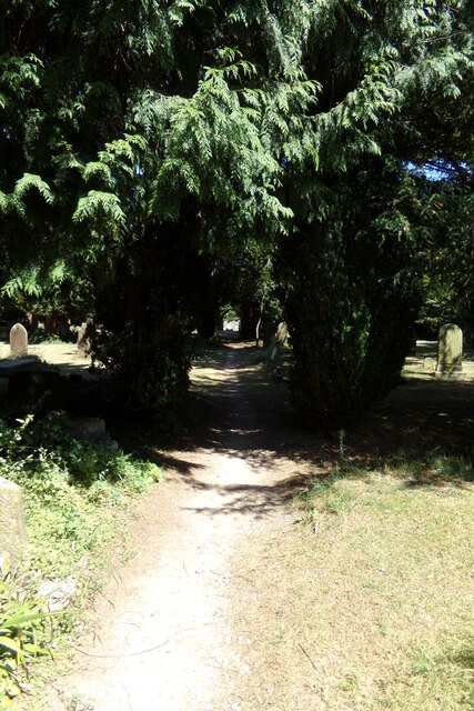
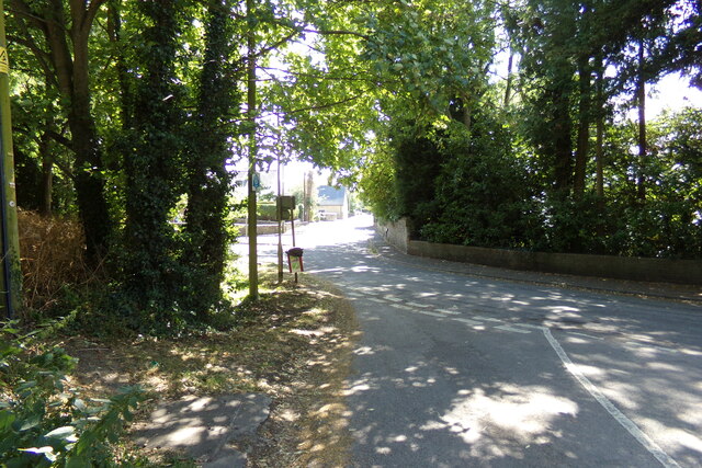
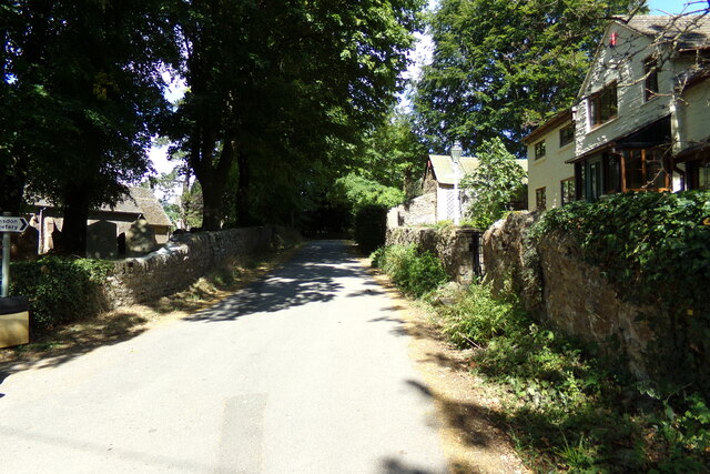
Abbey Gardens is a picturesque public garden located in the county of Wiltshire, England. Situated on the Downs, a region known for its rolling hills and scenic landscapes, the gardens offer visitors a tranquil retreat away from the hustle and bustle of everyday life. With its vast expanse of lush greenery and breathtaking views of the surrounding moorland, Abbey Gardens has become a popular destination for nature enthusiasts and those seeking a peaceful escape.

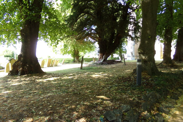
The gardens boast a diverse range of flora, showcasing a vibrant array of flowers, shrubs, and trees that bloom throughout the year. Visitors can stroll along well-maintained pathways that wind through the gardens, taking in the beauty of the various plantings. In addition to the abundant plant life, Abbey Gardens is also home to a small pond teeming with wildlife, creating a serene ambiance.

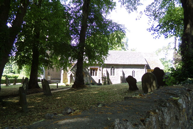
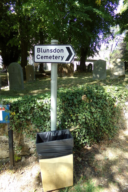
The gardens are known for their rich history, with the remains of an ancient abbey providing a fascinating glimpse into the past. The ruins serve as a reminder of the area's religious significance, and visitors can explore the remnants of the abbey, imagining what life was like centuries ago.

For those looking to relax and unwind, Abbey Gardens offers several seating areas strategically placed to allow visitors to take in the stunning panoramic views of the surrounding moorland. Picnic spots are also available, providing an opportunity to enjoy a leisurely lunch amidst the natural beauty.

Overall, Abbey Gardens in Wiltshire is a hidden gem that offers a peaceful retreat for nature lovers, history enthusiasts, and anyone seeking solace in the beauty of the countryside.

If you have any feedback on the listing, please let us know in the comments section below.

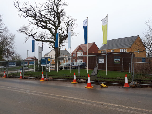
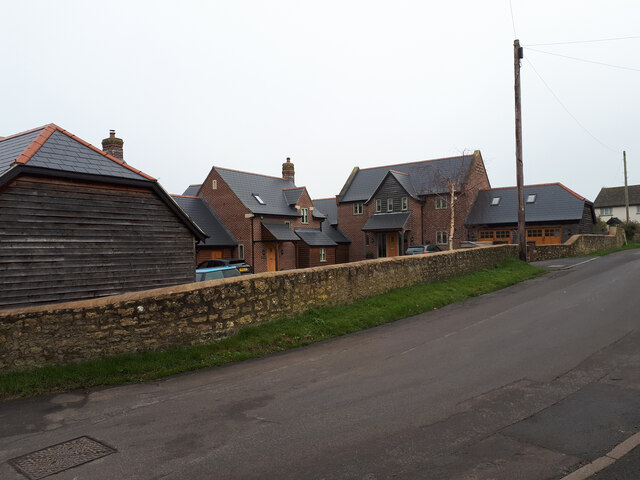
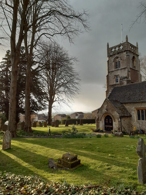
Abbey Gardens Images

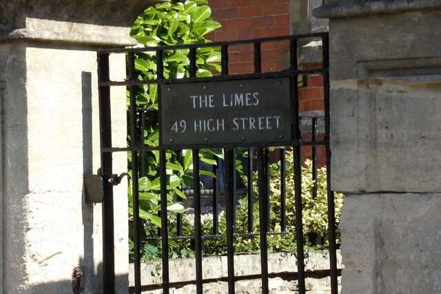
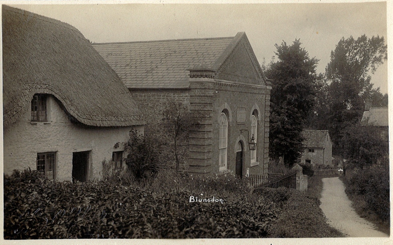
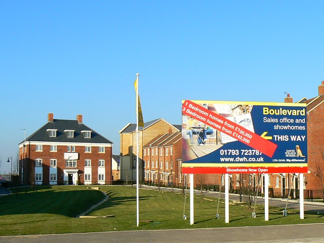
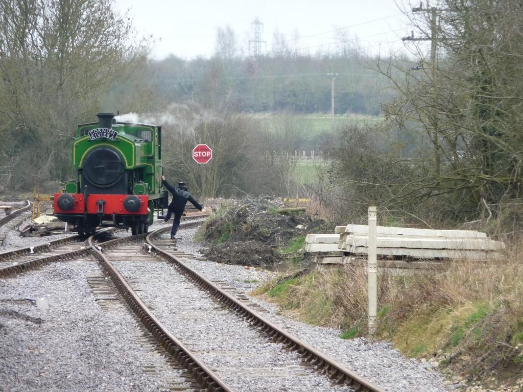
Images are sourced within 2km of 51.606566/-1.8038153 or Grid Reference SU1389. Thanks to Geograph Open Source API. All images are credited.

Hayfield Wood Hayfield Wood housing estate in the process of construction.
Hayfield Wood
Hayfield Wood housing estate in the process of construction.
King's Barn, Churchway
Blunsdon Village Hall Former school in the village.
Blunsdon Village Hall
Former school in the village.
Evening sun and rain clouds over St. Leonard's churchyard
St. Leonard's Church, Blunsdon Off Churchway at the junction with Burytown Lane
St. Leonard's Church, Blunsdon
Off Churchway at the junction with Burytown Lane
St. Leonard's Church Path Off Churchway at the junction with Burytown Lane
St. Leonard's Church Path
Off Churchway at the junction with Burytown Lane
High Street, Blunsdon At the junction with Churchway, Burytown Lane & Sams Lane near St. Leonard's Church
High Street, Blunsdon
At the junction with Churchway, Burytown Lane & Sams Lane near St. Leonard's Church
Burytown Lane, Blunsdon At the junction with Churchway & High Street near St. Leonard's Church & Church Cottage
Burytown Lane, Blunsdon
At the junction with Churchway & High Street near St. Leonard's Church & Church Cottage
Roadsign on Burygate Lane At the junction with Churchway near St. Leonard's Church & Church Cottage
Roadsign on Burygate Lane
At the junction with Churchway near St. Leonard's Church & Church Cottage
Burytown Lane sign On Burygate Lane at the junction with Churchway & High Street near St. Leonard's Church & Church Cottage
Burytown Lane sign
On Burygate Lane at the junction with Churchway & High Street near St. Leonard's Church & Church Cottage
St. Leonard's Church Notice Board On Burygate Lane at the junction with Churchway & High Street near St. Leonard's Church & Church Cottage
St. Leonard's Church Notice Board
On Burygate Lane at the junction with Churchway & High Street near St. Leonard's Church & Church Cottage
Lych Gate of St. Leonard's Church On Burygate Lane at the junction with Churchway & High Street near St. Leonard's Church & Church Cottage
Lych Gate of St. Leonard's Church
On Burygate Lane at the junction with Churchway & High Street near St. Leonard's Church & Church Cottage
St. Leonard's Church, Blunsdon Off Churchway at the junction with Burytown Lane
St. Leonard's Church, Blunsdon
Off Churchway at the junction with Burytown Lane
Churchyard at St. Leonard's Church Off Churchway at the junction with Burytown Lane
Churchyard at St. Leonard's Church
Off Churchway at the junction with Burytown Lane
Churchway sign On Churchway at the junction with Burytown Lane near St. Leonard' Church
Churchway sign
On Churchway at the junction with Burytown Lane near St. Leonard' Church
Churchway, Blunsdon Looking towards Manor Close at the junction with Burytown Lane near St. Leonard's Church.
Churchway, Blunsdon
Looking towards Manor Close at the junction with Burytown Lane near St. Leonard's Church.
The Limes, Blunsdon On High Street
The Limes, Blunsdon
On High Street
The Limes sign On High Street
The Limes sign
On High Street
Show me another place!

Abbey Gardens is located at Grid Ref: SU1389 (Lat: 51.606566, Lng: -1.8038153)

Unitary Authority: Swindon

Police Authority: Wiltshire

What 3 Words

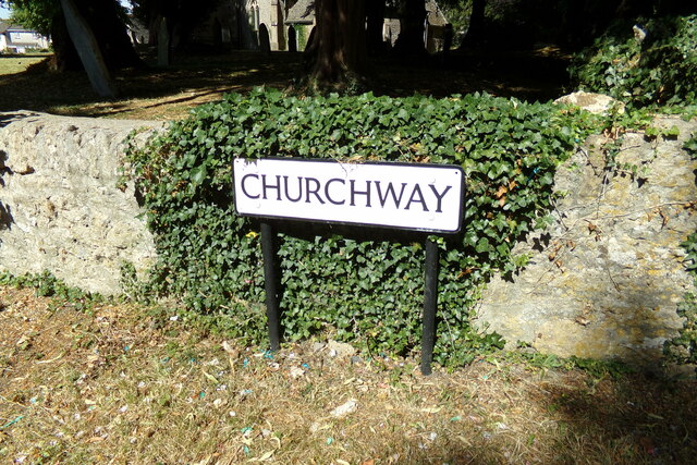
///shiver.daredevil.owes. Near Broad Blunsdon, Wiltshire

Nearby Locations

Abbey Gardens Ash Brake

Related Wikis

Nearby Amenities

Located within 500m of 51.606566,-1.8038153
Barrier: bollard
Bicycle: yes
Foot: yes
Lat/Long: 51.6033559/-1.8024292
Mini Roundabout
Direction: clockwise
Lat/Long: 51.6028465/-1.8006083
Traffic Calming: table
Lat/Long: 51.6065928/-1.7978239
Crossing
Crossing: traffic_signals
Lat/Long: 51.6085271/-1.7973047
Traffic Calming: table
Lat/Long: 51.6051097/-1.8000097
Traffic Calming: choker
Lat/Long: 51.6059723/-1.7998844
Turning Circle
Lat/Long: 51.6074665/-1.7999936
Traffic Calming: table
Lat/Long: 51.6046436/-1.7982716
Traffic Calming: table
Lat/Long: 51.6058669/-1.7971574
Traffic Calming: table
Lat/Long: 51.6057301/-1.7982643
Traffic Calming: table
Lat/Long: 51.6064039/-1.7994264
Traffic Calming: table
Lat/Long: 51.6072319/-1.7991516
Traffic Calming: table
Lat/Long: 51.6050996/-1.8007482
Traffic Calming: table
Lat/Long: 51.6071357/-1.7982848
Traffic Calming: table
Lat/Long: 51.6061719/-1.7966675
Traffic Calming: table
Lat/Long: 51.6078375/-1.7991148
Groundwell Ridge Roman Site
Historic: archaeological_site
Lat/Long: 51.6041026/-1.800141
Barrier: bollard
Bicycle: yes
Foot: yes
Lat/Long: 51.6032569/-1.804999
Bench
Lat/Long: 51.6023697/-1.8043205
Barrier: bollard
Bicycle: yes
Foot: yes
Lat/Long: 51.6030419/-1.8052503
Barrier: bollard
Bicycle: yes
Foot: yes
Lat/Long: 51.6050521/-1.8094893
Waste Basket
Waste: dog_excrement
Lat/Long: 51.6040192/-1.8023596
Barrier: bollard
Bicycle: yes
Foot: yes
Lat/Long: 51.6033799/-1.8058642
Barrier: bollard
Bicycle: yes
Foot: yes
Lat/Long: 51.6023069/-1.8044266
Bench
Lat/Long: 51.6040648/-1.8023802
Waste Basket
Waste: dog_excrement
Lat/Long: 51.6030939/-1.8083387
Barrier: bollard
Bicycle: yes
Foot: yes
Lat/Long: 51.6031508/-1.8051731
Barrier: bollard
Bicycle: yes
Foot: yes
Lat/Long: 51.6029519/-1.8050583
Bench
Lat/Long: 51.602525/-1.8044882
Waste Basket
Waste: dog_excrement
Lat/Long: 51.6042271/-1.8039234
Barrier: bollard
Bicycle: yes
Foot: yes
Lat/Long: 51.6030218/-1.8082379
Waste Basket
Waste: dog_excrement
Lat/Long: 51.6023984/-1.8041552
Barrier: bollard
Bicycle: yes
Foot: yes
Lat/Long: 51.6031736/-1.8058088
Barrier: bollard
Bicycle: yes
Foot: yes
Lat/Long: 51.6056776/-1.7983166
Barrier: bollard
Bicycle: yes
Foot: yes
Lat/Long: 51.6051387/-1.7983363
Bus Stop
Thornhill Drive
Bench: no
Bus: yes
Naptan AtcoCode: 4680SWA11024
Naptan Bearing: S
Naptan CommonName: Thornhill Drive
Naptan Indicator: S-bound
Naptan NaptanCode: swiatdp
Naptan PlusbusZoneRef: SDON
Naptan Street: Salzgitter Drive
Naptan Verified: no
Public Transport: platform
Shelter: no
Tactile Paving: no
Lat/Long: 51.6069564/-1.7989551
Traffic Calming: choker
Lat/Long: 51.6056414/-1.7976925
Barrier: bollard
Bicycle: yes
Foot: yes
Lat/Long: 51.6081112/-1.7976779
Traffic Calming: chicane
Lat/Long: 51.6060235/-1.798756
Waste Basket
Waste: dog_excrement
Lat/Long: 51.6069587/-1.7972638
Barrier: cycle_barrier
Lat/Long: 51.6059888/-1.7999542
Barrier: bollard
Lat/Long: 51.606327/-1.7981315
Leisure: playground
Lat/Long: 51.6054814/-1.7976471
Barrier: cycle_barrier
Lat/Long: 51.6084228/-1.7973201
Traffic Calming: table
Lat/Long: 51.6029434/-1.8010539
Bench
Lat/Long: 51.6057796/-1.7987434
Crossing
Lat/Long: 51.6065702/-1.7991068
Waste Basket
Waste: dog_excrement
Lat/Long: 51.6056085/-1.7976346
Waste Basket
Waste: dog_excrement
Lat/Long: 51.6055901/-1.798155
Post Box
Collection Times: Mo-Fr 16:00; Sa 11:30
Ref: SN25 110
Lat/Long: 51.6068127/-1.7990707
Barrier: cycle_barrier
Lat/Long: 51.6059502/-1.7997643
Traffic Calming: choker
Lat/Long: 51.6055787/-1.7999383
Waste Basket
Waste: dog_excrement
Lat/Long: 51.6034464/-1.7994055
Bus Stop
Thornhill Drive
Bench: no
Bus: yes
Naptan AtcoCode: 4680SWA11025
Naptan Bearing: N
Naptan CommonName: Thornhill Drive
Naptan Indicator: N-bound
Naptan NaptanCode: swiatda
Naptan PlusbusZoneRef: SDON
Naptan Street: Salzgitter Drive
Naptan Verified: no
Public Transport: platform
Shelter: no
Tactile Paving: no
Lat/Long: 51.6071117/-1.7991692
Bus Stop
Blunsdon Abbey
Bench: yes
Bus: yes
Naptan AtcoCode: 4680SWA10540
Naptan Bearing: W
Naptan CommonName: Blunsdon Abbey
Naptan Indicator: W-bound
Naptan NaptanCode: swiapjt
Naptan PlusbusZoneRef: SDON
Naptan Street: Tadpole Lane
Naptan Verified: no
Public Transport: platform
Shelter: yes
Tactile Paving: no
Lat/Long: 51.6072747/-1.8032144
Barrier: bollard
Bicycle: yes
Foot: yes
Lat/Long: 51.6034453/-1.8025899
Bench
Lat/Long: 51.6065237/-1.8092495
Barrier: bollard
Bicycle: yes
Foot: yes
Lat/Long: 51.6032712/-1.8025355
Blunsdon Abbey
Historic: ruins
Lat/Long: 51.6063378/-1.803132
Crossing
Crossing: unmarked
Crossing Markings: no
Lat/Long: 51.6095352/-1.7996899
Blunsdon St Andrew
Place: suburb
Source: NLS-OS-1st_Series
Lat/Long: 51.6065057/-1.8053203
Generator Method: photovoltaic
Generator Output Electricity: yes
Generator Source: solar
Generator Type: solar_photovoltaic_panel
Location: roof
Power: generator
Lat/Long: 51.6032871/-1.8003899
Barrier: bollard
Bicycle: yes
Foot: yes
Lat/Long: 51.606558/-1.8070052
Crossing
Crossing: unmarked
Crossing Markings: no
Lat/Long: 51.6073219/-1.804327
Post Box
Collection Times: Mo-Fr 09:00; Sa 07:00
Operator: Royal Mail
Post Box Type: lamp
Ref: SN25 17D
Royal Cypher: EIIR
Royal Cypher Wikidata: Q33102113
Lat/Long: 51.6073131/-1.8030056
Booth: K6
Covered: booth
Disused Amenity: telephone
Man Made: telephone_box
Lat/Long: 51.6072296/-1.8068085
Abbey Farm
Place: neighbourhood
Lat/Long: 51.6091292/-1.801316
Crossing
Crossing: unmarked
Crossing Markings: no
Lat/Long: 51.6081301/-1.8016847
Co-op Food
Addr City: Swindon
Addr Postcode: SN25 2SJ
Addr Street: Diamond Crescent
Brand: Your Coop Food
Brand Wikidata: Q121084548
Opening Hours: Mo-Su 07:00-22:00
Operator: Midcounties Co-operative
Operator Wikidata: Q6841138
Post Office: yes
Shop: convenience
Lat/Long: 51.6097432/-1.7995307
Bus Stop
Bus: yes
Public Transport: platform
Shelter: yes
Lat/Long: 51.609513/-1.8000815
Bus Stop
Bus: yes
Public Transport: platform
Shelter: yes
Lat/Long: 51.6081871/-1.8019483
Crossing
Crossing: unmarked
Crossing Markings: no
Lat/Long: 51.6083236/-1.7986309
Crossing
Crossing: unmarked
Crossing Markings: no
Lat/Long: 51.6083472/-1.7987901
Crossing
Crossing: unmarked
Crossing Markings: no
Lat/Long: 51.6088071/-1.7986051
Crossing
Crossing: unmarked
Crossing Markings: no
Lat/Long: 51.6088149/-1.7986821
Crossing
Crossing: unmarked
Crossing Markings: no
Lat/Long: 51.6086055/-1.7990054
Crossing
Crossing: unmarked
Crossing Markings: no
Lat/Long: 51.6086651/-1.7989922
Crossing
Crossing: unmarked
Crossing Markings: no
Lat/Long: 51.6085638/-1.7982903
Crossing
Crossing: unmarked
Crossing Markings: no
Lat/Long: 51.6086186/-1.798292
Crossing
Crossing: unmarked
Crossing Markings: no
Lat/Long: 51.6077987/-1.8012523
Crossing
Crossing: unmarked
Crossing Markings: no
Lat/Long: 51.6078206/-1.8013657
Crossing
Crossing: unmarked
Crossing Markings: no
Lat/Long: 51.6081234/-1.8010081
Crossing
Crossing: unmarked
Crossing Markings: no
Lat/Long: 51.60815/-1.8010746
Crossing
Crossing: unmarked
Crossing Markings: no
Lat/Long: 51.6065791/-1.7986914
Crossing
Lat/Long: 51.6066239/-1.7978925
Crossing
Lat/Long: 51.6075399/-1.7991676
Crossing
Lat/Long: 51.607214/-1.7992403
Crossing
Lat/Long: 51.6078631/-1.7991976
Crossing
Crossing: unmarked
Crossing Markings: no
Lat/Long: 51.6068602/-1.7989589
Crossing
Crossing: unmarked
Crossing Markings: no
Lat/Long: 51.6071725/-1.7991123
Crossing
Lat/Long: 51.6067697/-1.7975087
Bench
Backrest: yes
Material: wood
Lat/Long: 51.6029441/-1.8045388
Bench
Backrest: yes
Material: wood
Lat/Long: 51.6029134/-1.8044521
Bench
Backrest: yes
Material: wood
Lat/Long: 51.6029058/-1.804346
Bench
Backrest: yes
Material: wood
Lat/Long: 51.6029321/-1.804266
Grit Bin
Lat/Long: 51.6029093/-1.8044144
Crossing
Lat/Long: 51.6027966/-1.8050292
Crossing
Lat/Long: 51.6024741/-1.8054265
The data included in this document is from www.openstreetmap.org. The data is made available under ODbL.

Have you been to Abbey Gardens?

Leave your review of Abbey Gardens below (or comments, questions and feedback).