Arnage

Settlement in Aberdeenshire

Scotland

Arnage

Arthrath Ruins North Arthtrath or what remains of this old small farm.
Arthrath Ruins Credit: Andrew Wood

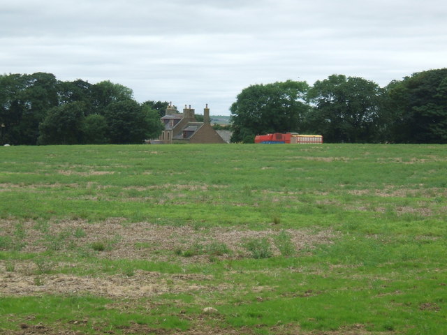
Arnage, located in Aberdeenshire, Scotland, is a small village situated approximately 10 miles northwest of the city of Aberdeen. Nestled amidst the picturesque countryside, Arnage offers a tranquil escape from the bustling urban life. The village is home to a close-knit community, characterized by its warm and welcoming atmosphere.

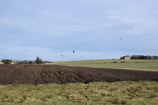
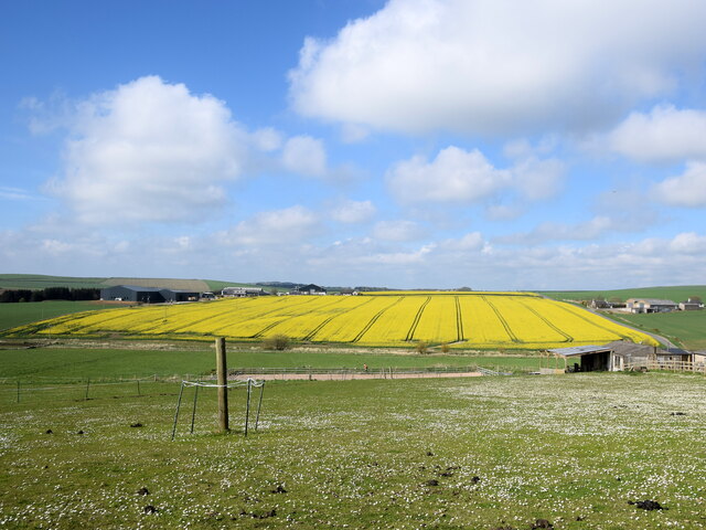
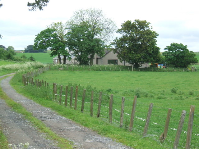
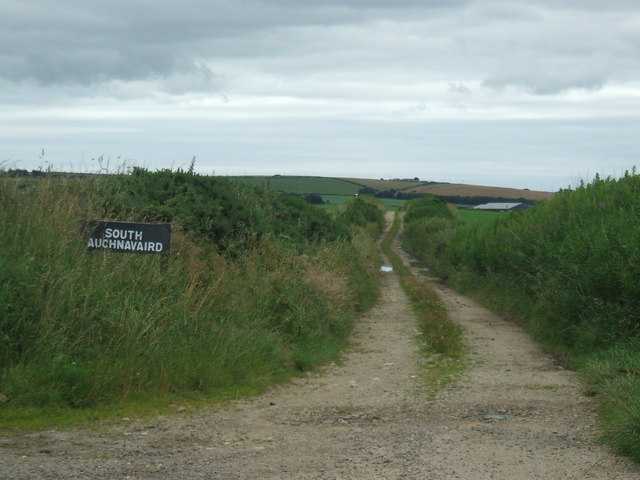
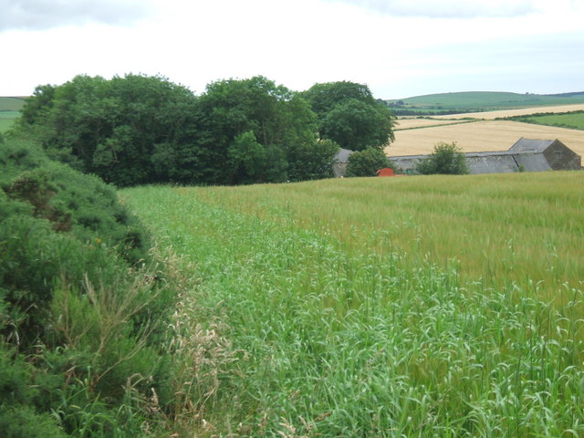
Arnage boasts stunning natural beauty, with rolling hills, lush green fields, and breathtaking views of the nearby coastline. Outdoor enthusiasts can indulge in a range of recreational activities, including hiking, cycling, and fishing, thanks to the village's proximity to the North Sea and the scenic Balmedie Beach.

While Arnage is primarily a residential area, it is well-connected to nearby towns and cities, making it convenient for residents to access essential amenities and services. The city of Aberdeen, with its vibrant cultural scene and diverse range of shops, restaurants, and entertainment options, is just a short drive away.

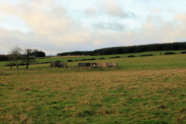
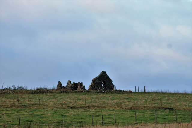
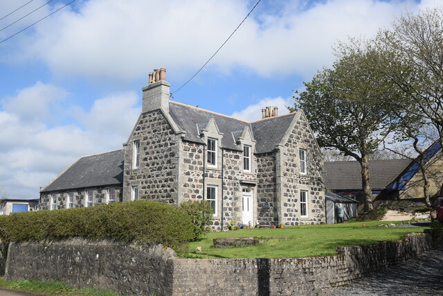
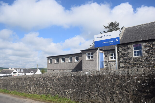
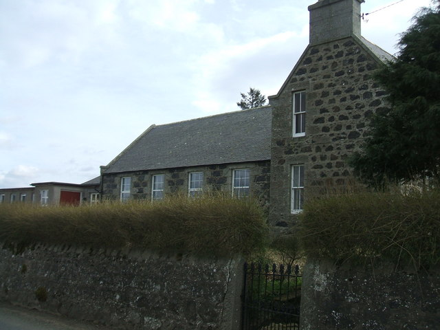
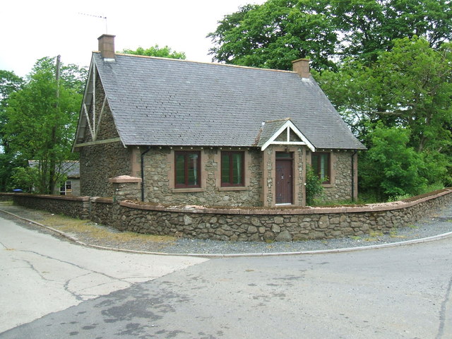
The village itself is dotted with charming stone cottages, some of which date back several centuries, adding to its historic charm. Arnage also boasts a small but well-maintained community park, which serves as a gathering point for locals and provides a safe space for children to play.

Overall, Arnage offers a peaceful and idyllic setting for those seeking a quieter lifestyle, while still being within easy reach of the amenities and opportunities provided by nearby urban centers.

If you have any feedback on the listing, please let us know in the comments section below.
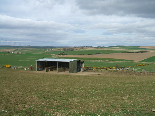
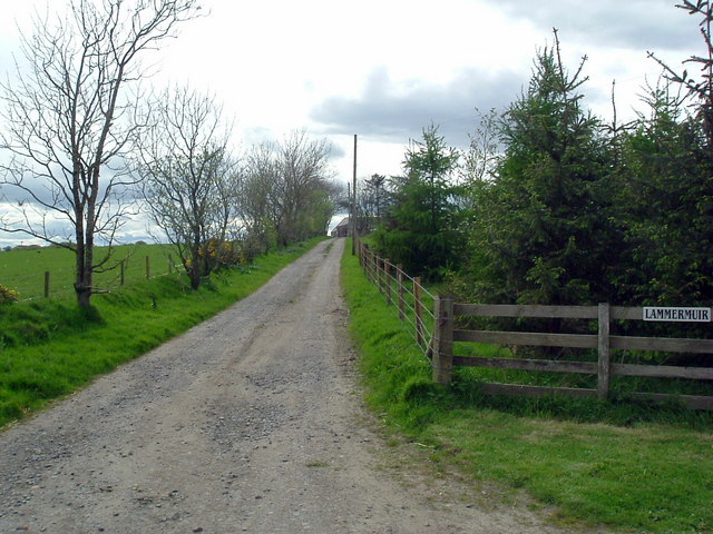
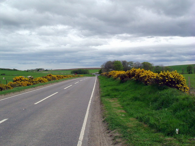
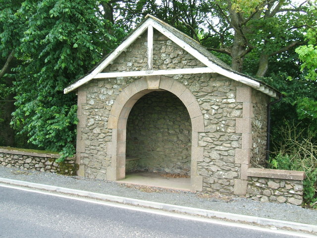
Arnage Images

Images are sourced within 2km of 57.440035/-2.0750629 or Grid Reference NJ9538. Thanks to Geograph Open Source API. All images are credited.

Arthrath Ruins North Arthtrath or what remains of this old small farm.
Arthrath Ruins
North Arthtrath or what remains of this old small farm.
Laverockley Ruin Laverockley, translating as pasture of the lark, this ruin has reverted to nature the old ruins decaying.
Laverockley Ruin
Laverockley, translating as pasture of the lark, this ruin has reverted to nature the old ruins decaying.
Aberdeenshire field-scape… ...as seen from the Formartine and Buchan Way.  Blacksmith's Croft is centre left and farther back to the right is a barn associated with Upper Auquhadlie farm.  According to Celtic Placenames in Aberdeenshire by John Milne, 'auquhadlie' means a grey field.
Aberdeenshire field-scape…
...as seen from the Formartine and Buchan Way. Blacksmith's Croft is centre left and farther back to the right is a barn associated with Upper Auquhadlie farm. According to Celtic Placenames in Aberdeenshire by John Milne, 'auquhadlie' means a grey field.
The old schoolhouse, Arnage The remote Aberdeenshire primary school, which adjoins the back of the house, is still open.
The old schoolhouse, Arnage
The remote Aberdeenshire primary school, which adjoins the back of the house, is still open.
Arnage Primary School The remote primary school with a roll of about 40 (in 2020) serves an extensive catchment area to the north of Ellon.
Arnage Primary School
The remote primary school with a roll of about 40 (in 2020) serves an extensive catchment area to the north of Ellon.
View north from Arnage school... ...towards the rolling fields of Mains of Fortrie.  'Fortrie' means 'front land', probably meaning an out-lying piece of ground belonging to a farm according to Celtic Placenames in Aberdeenshire by John Milne.
View north from Arnage school...
...towards the rolling fields of Mains of Fortrie. 'Fortrie' means 'front land', probably meaning an out-lying piece of ground belonging to a farm according to Celtic Placenames in Aberdeenshire by John Milne.
Arnage Primary School
Mural at Arnage School
View from Arnage School Shelter for horses in the foreground and many gridsquares of rolling Aberdeenshire farming land to the east
View from Arnage School
Shelter for horses in the foreground and many gridsquares of rolling Aberdeenshire farming land to the east
Lammermuir
Lammermuir
B9030 Southbound At Lammermuir
B9030 Southbound
At Lammermuir
Bus Shelter at Arnage A real touch of grandeur!
On the main Ellon - Auchnagatt road at the end of the farm road to Arnage Home Farm
Bus Shelter at Arnage
A real touch of grandeur! On the main Ellon - Auchnagatt road at the end of the farm road to Arnage Home Farm
Cottage at Arnage Home Farm road Possibly a  road toll cottage?
Cottage at Arnage Home Farm road
Possibly a road toll cottage?
Farewell Just a great name!
Farewell
Just a great name!
Sign at Farewell / Fairwell Ingenious solution when pondering a name for your new bungalow built adjacent to Farewell
Sign at Farewell / Fairwell
Ingenious solution when pondering a name for your new bungalow built adjacent to Farewell
Auchnavaird Farm
Auchnavaird Farm
Road to South Auchnavaird tractors and 4WDs recommended for this 3/4 mile track. Certainly not this Geographer's wee Corsa!
Road to South Auchnavaird
tractors and 4WDs recommended for this 3/4 mile track. Certainly not this Geographer's wee Corsa!
South Auchnavaird Cosily secluded in a wee dip in the rolling farmland
South Auchnavaird
Cosily secluded in a wee dip in the rolling farmland
Show me another place!

Arnage is located at Grid Ref: NJ9538 (Lat: 57.440035, Lng: -2.0750629)

Unitary Authority: Aberdeenshire

Police Authority: North East

What 3 Words

///unfit.elevate.escorting. Near Ellon, Aberdeenshire

Nearby Locations

Arnage

Related Wikis

Nearby Amenities

Located within 500m of 57.440035,-2.0750629
Power: pole
Lat/Long: 57.4359665/-2.0758259
Power: pole
Lat/Long: 57.4367288/-2.0757777
Power: pole
Lat/Long: 57.4376253/-2.075673
Power: pole
Lat/Long: 57.4384099/-2.0755765
Power: pole
Lat/Long: 57.4391973/-2.0761719
Power: pole
Lat/Long: 57.4399667/-2.0769256
Power: pole
Lat/Long: 57.4408227/-2.0770142
Power: pole
Lat/Long: 57.4417033/-2.0770785
Power: pole
Lat/Long: 57.4425924/-2.0771456
Power: pole
Lat/Long: 57.4433055/-2.0766306
Power: pole
Lat/Long: 57.4440199/-2.0761156
Power: pole
Lat/Long: 57.437379/-2.0809678
Power: pole
Lat/Long: 57.4376141/-2.0803278
Power: pole
Lat/Long: 57.4378341/-2.0797376
Power: pole
Lat/Long: 57.4380691/-2.0791275
Power: pole
Lat/Long: 57.4383309/-2.0783957
Power: pole
Lat/Long: 57.4385337/-2.0778614
Power: pole
Lat/Long: 57.4391046/-2.0768385
Power: pole
Lat/Long: 57.4395542/-2.0759911
Power: pole
Lat/Long: 57.439873/-2.0755245
Power: pole
Lat/Long: 57.4402131/-2.0748586
Power: pole
Lat/Long: 57.4406788/-2.0738477
Power: pole
Lat/Long: 57.441122/-2.0725138
Power: pole
Lat/Long: 57.4409857/-2.0709326
Power: pole
Lat/Long: 57.4409621/-2.0696326
Power: pole
Lat/Long: 57.4408623/-2.0681771
Power: pole
Lat/Long: 57.4380133/-2.0783818
Power: pole
Lat/Long: 57.437833/-2.0783678
Power: pole
Lat/Long: 57.4385938/-2.078627
Power: pole
Lat/Long: 57.4390241/-2.0792411
Power: pole
Lat/Long: 57.4395263/-2.079927
Power: pole
Lat/Long: 57.4400275/-2.0806289
Power: pole
Lat/Long: 57.4404009/-2.0811433
Power: pole
Lat/Long: 57.4408409/-2.0817534
Power: pole
Lat/Long: 57.4413613/-2.0824653
Power: pole
Lat/Long: 57.4422884/-2.0822818
Power: pole
Lat/Long: 57.4428023/-2.0814922
Power: pole
Lat/Long: 57.4426875/-2.0803777
Power: pole
Lat/Long: 57.4426907/-2.0791095
Power: pole
Lat/Long: 57.4426886/-2.0779351
Power: pole
Lat/Long: 57.4437222/-2.0716167
Power: pole
Lat/Long: 57.4437621/-2.0711755
Power: pole
Lat/Long: 57.4360231/-2.0737447
Power: pole
Lat/Long: 57.4364755/-2.0740294
The data included in this document is from www.openstreetmap.org. The data is made available under ODbL.

Have you been to Arnage?

Leave your review of Arnage below (or comments, questions and feedback).