Ardler

Settlement in Angus

Scotland

Ardler

Old trees Particularly stunning tree in Camperdown Country Park.
Old trees Credit: Aleks Scholz

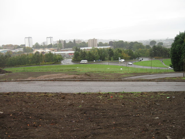
Ardler is a small village located in the county of Angus, Scotland. Nestled in the picturesque countryside, it lies about 8 miles north of the town of Blairgowrie and 12 miles northeast of the city of Perth. The village is situated on the banks of the Ardler Burn, a small river that flows through the area, adding to its natural beauty.

With a population of around 300 residents, Ardler is a close-knit community that offers a peaceful and tranquil setting for its inhabitants. The village is predominantly residential, with a scattering of traditional stone cottages and newer houses dotting the landscape. The surrounding farmland and rolling hills provide a scenic backdrop.

Ardler benefits from a few local amenities, including a primary school, a village hall, and a post office. The primary school serves the village and the surrounding rural area, providing education for children up to the age of 11. The village hall acts as a social hub, hosting various community events and gatherings throughout the year.

The village enjoys a strong sense of community spirit, with residents actively involved in local organizations and clubs. These include sports clubs, gardening groups, and historical societies, providing opportunities for social engagement and shared interests.

Ardler's location allows for easy access to outdoor activities such as hiking, cycling, and fishing. The nearby Sidlaw Hills and River Tay provide ample opportunities for nature enthusiasts to explore and enjoy the surrounding countryside.

Overall, Ardler offers a peaceful and idyllic setting for those seeking a quieter, rural lifestyle while still being within reach of larger towns and cities in Angus.

If you have any feedback on the listing, please let us know in the comments section below.
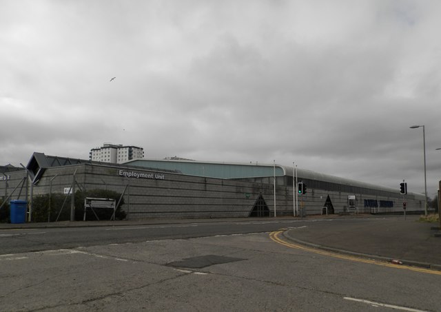
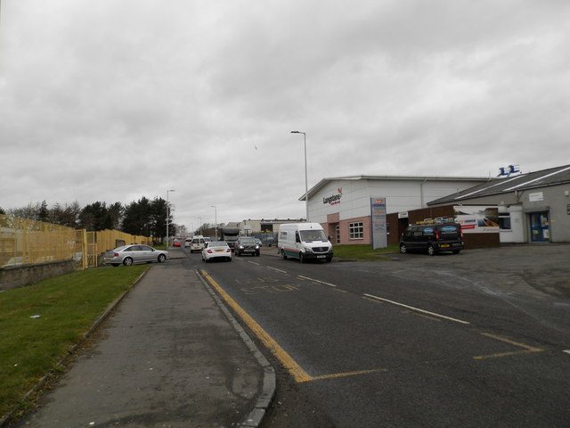
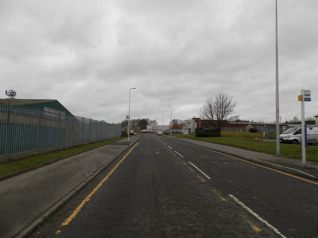
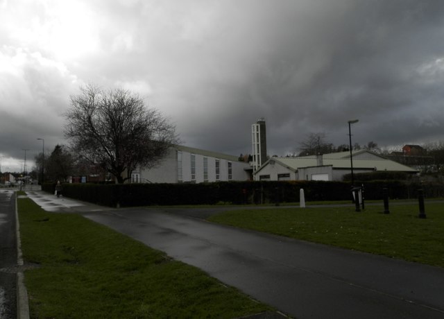
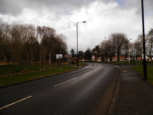
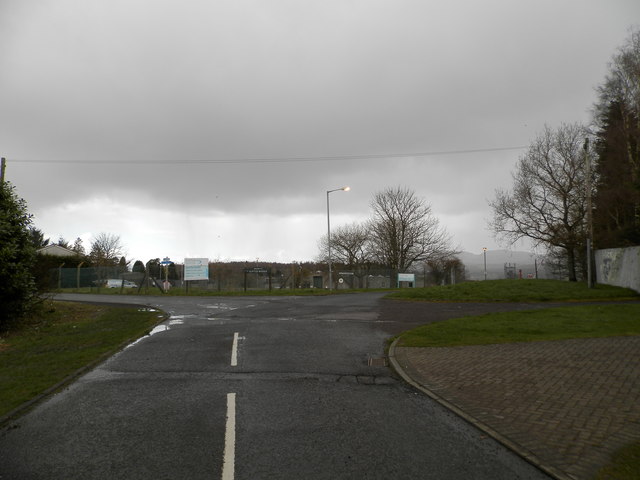
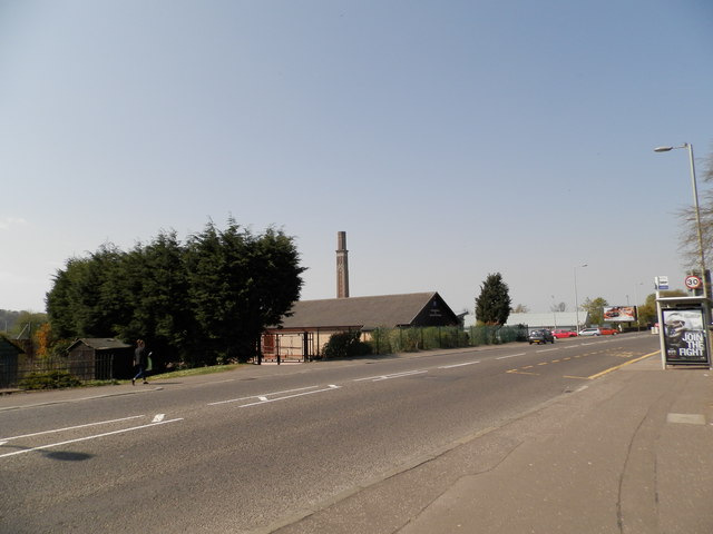
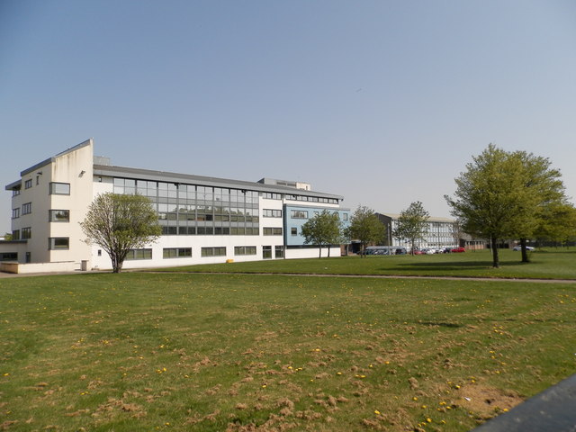
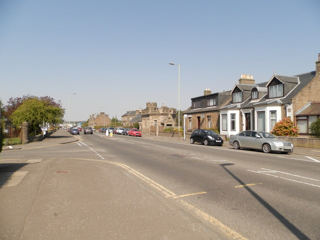
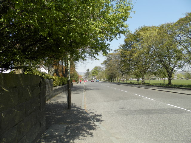
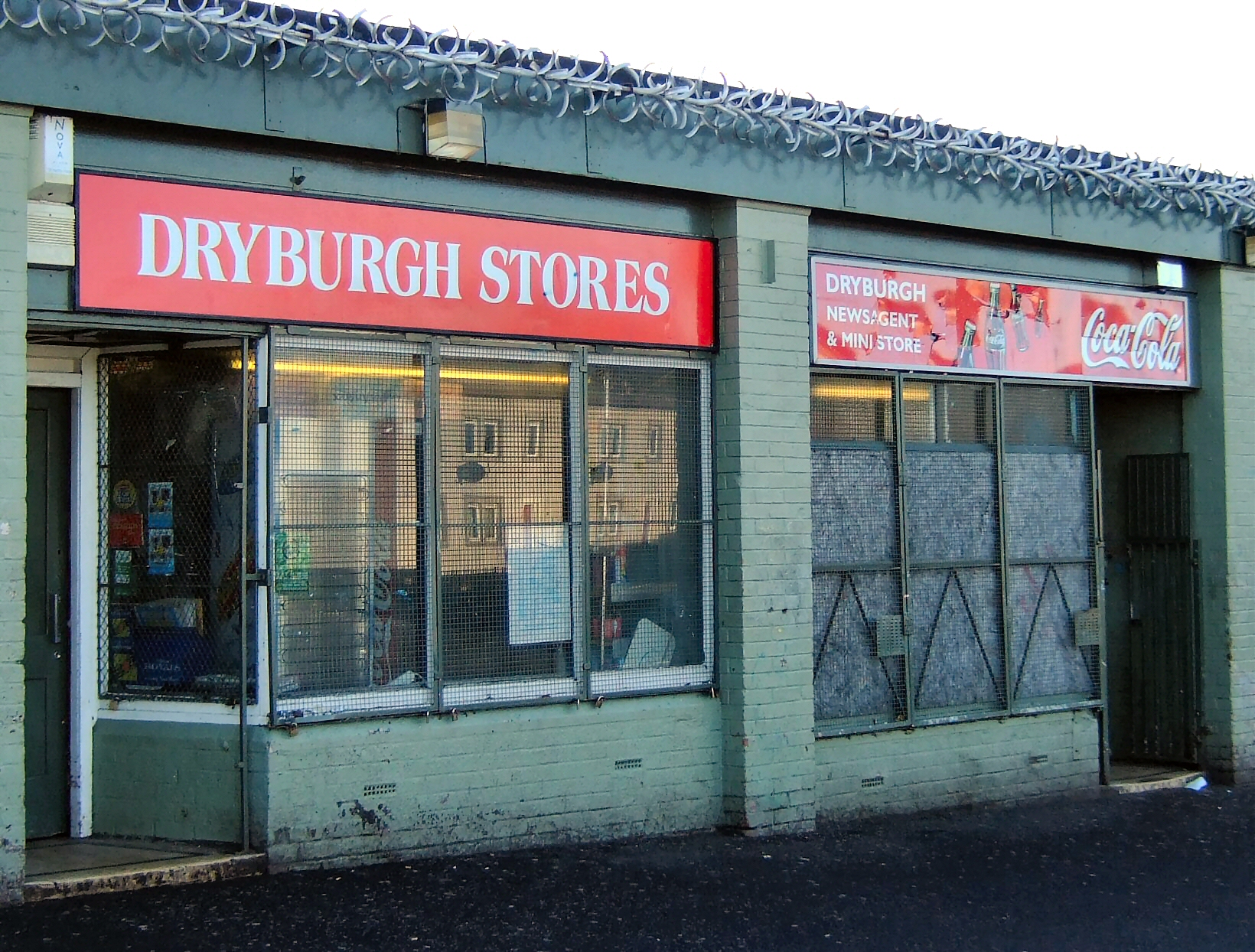
Ardler Images

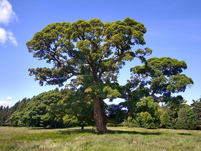
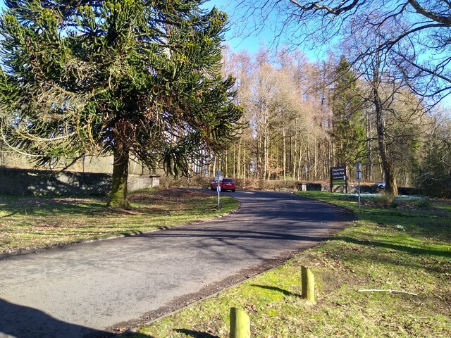
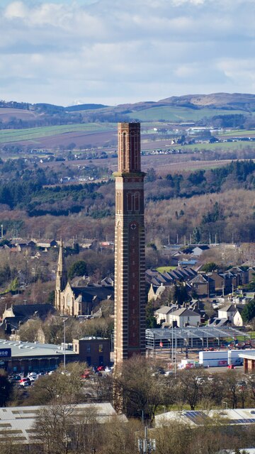
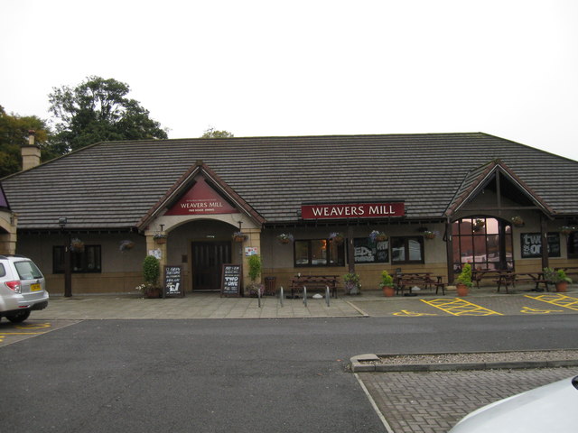
Images are sourced within 2km of 56.486044/-3.016048 or Grid Reference NO3733. Thanks to Geograph Open Source API. All images are credited.

Old trees Particularly stunning tree in Camperdown Country Park.
Old trees
Particularly stunning tree in Camperdown Country Park.
Camperdown, north entry This is the entry or exit on the north side of Camperdown Country Park.
Camperdown, north entry
This is the entry or exit on the north side of Camperdown Country Park.
Cox's Stack From canmore.org.uk see <span class="nowrap"><a title="https://canmore.org.uk/site/165116" rel="nofollow ugc noopener" href="https://canmore.org.uk/site/165116">Link</a><img style="margin-left:2px;" alt="External link" title="External link - shift click to open in new window" src="https://s1.geograph.org.uk/img/external.png" width="10" height="10"/></span> :

"Magnificent 282' 10" chimney stalk in form of Italian campanile, polychrome brick on ashlar base. The best industrial chimney in Scotland. The only comparable structure in England is the India Mill chimney, Darwen, 1867 310 feet. The 2 campanile chimneys in Bradford-Saltaire 1868, circa 150 feet and Manningham, 1873, 250 feet are stone built. The campaniles at Tower Works, Leeds, circa 1900, are much smaller. None match the exuberant decoration of Cox's stack. (Historic Environment Scotland List Entry)

Camperdown works, at its peak, stretched over 35 acres and employed 5000 workers, becoming one of the largest mill complexes in Britain (C McKean & D Walker).

The American Civil War created greater prosperity for Dundee mill owners, who invested much of the income generated into new buildings. At Den Works, Baxter brothers built 2 new mills and refurbished another along with a new calendar and foundry. At the same time James Mclaren erected the remarkable Cox's Stack at a cost of £6000, with the Gilory's added 2 new blocks to their Tay Works. (Walker & Gauldie)

Following closure of the Camperdown Works in 1981, the entire site was redeveloped with some parts of the former works being retained and converted into residential use. Cox's Stack was originally located adjacent to single storey sheds; these were cleared away during redevelopment to make way for the Stack Leisure Park with the chimney retained as a landmark feature, linking the new commercial park with residential housing."
Cox's Stack
From canmore.org.uk see LinkExternal link : "Magnificent 282' 10" chimney stalk in form of Italian campanile, polychrome brick on ashlar base. The best industrial chimney in Scotland. The only comparable structure in England is the India Mill chimney, Darwen, 1867 310 feet. The 2 campanile chimneys in Bradford-Saltaire 1868, circa 150 feet and Manningham, 1873, 250 feet are stone built. The campaniles at Tower Works, Leeds, circa 1900, are much smaller. None match the exuberant decoration of Cox's stack. (Historic Environment Scotland List Entry) Camperdown works, at its peak, stretched over 35 acres and employed 5000 workers, becoming one of the largest mill complexes in Britain (C McKean & D Walker). The American Civil War created greater prosperity for Dundee mill owners, who invested much of the income generated into new buildings. At Den Works, Baxter brothers built 2 new mills and refurbished another along with a new calendar and foundry. At the same time James Mclaren erected the remarkable Cox's Stack at a cost of £6000, with the Gilory's added 2 new blocks to their Tay Works. (Walker & Gauldie) Following closure of the Camperdown Works in 1981, the entire site was redeveloped with some parts of the former works being retained and converted into residential use. Cox's Stack was originally located adjacent to single storey sheds; these were cleared away during redevelopment to make way for the Stack Leisure Park with the chimney retained as a landmark feature, linking the new commercial park with residential housing."
Weavers Mill
Weavers Mill
Looking towards town
Woodland, Downfield Golf Club Woods between the road and course.
Woodland, Downfield Golf Club
Woods between the road and course.
Hanging timber warning After a couple of storms (now given silly names) there is a fair bit of timber up there awaiting its turn to fly around.
Hanging timber warning
After a couple of storms (now given silly names) there is a fair bit of timber up there awaiting its turn to fly around.
Birkhill Cemetery
Birkhill Cemetery
Industrial premises in Dunsinane Avenue Dovetail Enterprises is an employer of disabled persons who manufacture furniture.
Industrial premises in Dunsinane Avenue
Dovetail Enterprises is an employer of disabled persons who manufacture furniture.
Industrial premises, Faraday Street, Dundee
Faraday Street, Dryburgh Industrial Estate
Chalmers-Ardler Church of Scotland, Dundee
Dalmahoy Drive near entrance to Downfield Golf Course Near Ardler Woods.
Dalmahoy Drive near entrance to Downfield Golf Course
Near Ardler Woods.
Scottish Water Depot, Clatto Looks like more of the wet stuff is about to arrive!
Scottish Water Depot, Clatto
Looks like more of the wet stuff is about to arrive!
Cox's Stack from Strathmore Avenue The stack protrudes above the roof of the Kingdom Hall of Jehovah's Witnesses.
Cox's Stack from Strathmore Avenue
The stack protrudes above the roof of the Kingdom Hall of Jehovah's Witnesses.
St John's High School, Dundee
Western end of Clepington Road, Dundee The "wee castle" in the middle ground is part of the public water supply infrastructure.
Western end of Clepington Road, Dundee
The "wee castle" in the middle ground is part of the public water supply infrastructure.
Strathmartine Road, Dundee
Show me another place!

Ardler is located at Grid Ref: NO3733 (Lat: 56.486044, Lng: -3.016048)

Unitary Authority: City of Dundee

Police Authority: Tayside

What 3 Words

///ever.clots.oath. Near Dundee, Dundee City

Related Wikis

Nearby Amenities

Located within 500m of 56.486044,-3.016048
Traffic Calming: table
Lat/Long: 56.4896385/-3.0207167
Traffic Calming: table
Lat/Long: 56.4894845/-3.0200808
Traffic Calming: cushion
Lat/Long: 56.4893145/-3.0193991
Traffic Calming: cushion
Lat/Long: 56.489844/-3.0195561
Traffic Calming: table
Lat/Long: 56.4890781/-3.0107761
Traffic Calming: cushion
Lat/Long: 56.4886603/-3.0105326
Traffic Calming: cushion
Lat/Long: 56.4879682/-3.0105999
Traffic Calming: table
Lat/Long: 56.4876628/-3.0094746
Turning Circle
Lat/Long: 56.4858082/-3.0087819
Traffic Calming: bump
Lat/Long: 56.4846537/-3.0130262
Bus Stop
Faraday Street
Naptan AtcoCode: 6400PT1622
Naptan CommonName: Faraday Street
Naptan Indicator: opp
Naptan NaptanCode: 36323924
Operator: Stagecoach
Route Ref: 57;59
Shelter: yes
Towards: Blairgowrie
Lat/Long: 56.4826003/-3.0197951
Bus Stop
Faraday Street
Naptan AtcoCode: 6400PT1621
Naptan CommonName: Faraday Street
Naptan Indicator: at
Naptan NaptanCode: 36323894
Operator: Stagecoach
Route Ref: 57;59
Shelter: no
Towards: Dundee City Centre
Lat/Long: 56.4827046/-3.019511
Ardler
Place: suburb
Wikidata: Q4788164
Wikipedia: en:Ardler
Lat/Long: 56.4894517/-3.0146575
Traffic Calming: table
Lat/Long: 56.4894576/-3.0110807
Bicycle Parking
Bicycle Parking: stands
Capacity: 8
Lat/Long: 56.4876105/-3.0140767
Bicycle Parking
Bicycle Parking: stands
Capacity: 10
Lat/Long: 56.4877648/-3.0142864
Bicycle Parking
Bicycle Parking: wall_loops
Capacity: 8
Lat/Long: 56.4885624/-3.0156098
Bicycle Parking
Bicycle Parking: wall_loops
Capacity: 8
Lat/Long: 56.4887047/-3.0137431
Noexit: yes
Lat/Long: 56.4871608/-3.0232898
Crossing
Lat/Long: 56.485004/-3.0224707
Generator Method: photovoltaic
Generator Output Electricity: yes
Generator Source: solar
Generator Type: solar_photovoltaic_panel
Power: generator
Lat/Long: 56.4871712/-3.0088016
Traffic Calming: cushion
Lat/Long: 56.4888223/-3.0196462
Crossing
Crossing: zebra
Crossing Island: no
Crossing Markings: zebra
Crossing Ref: zebra
Tactile Paving: yes
Lat/Long: 56.4876833/-3.0135336
Generator Method: photovoltaic
Generator Output Electricity: yes
Generator Source: solar
Generator Type: solar_photovoltaic_panel
Power: generator
Lat/Long: 56.4859054/-3.0098614
Bus Stop
Hazelhead Avenue
Naptan AtcoCode: 6400S18
Naptan CommonName: Hazelhead Avenue
Naptan Indicator: near
Naptan NaptanCode: 36325328
Naptan Verified: no
Public Transport: platform
Lat/Long: 56.4859892/-3.0144529
Bus Stop
Rutherford Road
Naptan AtcoCode: 6400PT1783
Naptan CommonName: Rutherford Road
Naptan Indicator: at
Naptan NaptanCode: 36323439
Naptan Verified: no
Public Transport: platform
Lat/Long: 56.4829645/-3.0113952
Bus Stop
Rutherford Road
Naptan AtcoCode: 640014422
Naptan CommonName: Rutherford Road
Naptan Indicator: opp
Naptan NaptanCode: 36326365
Naptan Verified: no
Public Transport: platform
Lat/Long: 56.4830474/-3.0111015
Bus Stop
Telford Road
Naptan AtcoCode: 6400PT1247
Naptan CommonName: Telford Road
Naptan Indicator: at
Naptan NaptanCode: 36324357
Naptan Verified: no
Public Transport: platform
Lat/Long: 56.4841649/-3.0098569
Bus Stop
Faraday Court
Naptan AtcoCode: 6400PT1245
Naptan CommonName: Faraday Court
Naptan Indicator: at
Naptan NaptanCode: 36324354
Naptan Verified: no
Public Transport: platform
Lat/Long: 56.4843078/-3.0133438
Bus Stop
Wentworth Road
Naptan AtcoCode: 640011027
Naptan CommonName: Wentworth Road
Naptan Indicator: at
Naptan NaptanCode: 36325862
Naptan Verified: no
Public Transport: platform
Lat/Long: 56.4886758/-3.0209465
Bus Stop
Wentworth Road
Naptan AtcoCode: 640011025
Naptan CommonName: Wentworth Road
Naptan Indicator: opp
Naptan NaptanCode: 36325859
Naptan Verified: no
Public Transport: platform
Lat/Long: 56.4887654/-3.0209103
Bus Stop
Wentworth Street
Naptan AtcoCode: 64006831
Naptan CommonName: Wentworth Street
Naptan Indicator: opp
Naptan NaptanCode: 36325789
Naptan Verified: no
Public Transport: platform
Lat/Long: 56.4883263/-3.0187015
Bus Stop
Wentworth Street
Naptan AtcoCode: 64006833
Naptan CommonName: Wentworth Street
Naptan Indicator: at
Naptan NaptanCode: 36325792
Naptan Verified: no
Public Transport: platform
Lat/Long: 56.4882708/-3.0187753
Bus Stop
Library
Bus: yes
Naptan AtcoCode: 6400PT1871
Naptan CommonName: Library
Naptan Indicator: near
Naptan NaptanCode: 36325637
Naptan Verified: no
Public Transport: platform
Shelter: no
Lat/Long: 56.487491/-3.0146131
Bus Stop
Library
Bus: yes
Naptan AtcoCode: 6400PT1870
Naptan CommonName: Library
Naptan Indicator: at
Naptan NaptanCode: 36325636
Naptan Verified: no
Public Transport: platform
Shelter: yes
Lat/Long: 56.4875879/-3.0146162
Bus Stop
Gleneagles Street
Naptan AtcoCode: 64006829
Naptan CommonName: Gleneagles Street
Naptan Indicator: opp
Naptan NaptanCode: 36325787
Naptan Verified: no
Public Transport: platform
Lat/Long: 56.4876236/-3.0098435
Bus Stop
Gleneagles Street
Naptan AtcoCode: 64006827
Naptan CommonName: Gleneagles Street
Naptan Indicator: at
Naptan NaptanCode: 36325786
Naptan Verified: no
Public Transport: platform
Lat/Long: 56.487711/-3.0098408
Bus Stop
Harrison Avenue
Naptan AtcoCode: 6400R2
Naptan CommonName: Harrison Avenue
Naptan Indicator: at
Naptan NaptanCode: 36325347
Naptan Verified: no
Public Transport: platform
Lat/Long: 56.4854459/-3.0105141
Bus Stop
Harrison Avenue
Naptan AtcoCode: 6400PT1770
Naptan CommonName: Harrison Avenue
Naptan Indicator: opp
Naptan NaptanCode: 36325343
Naptan Verified: no
Public Transport: platform
Lat/Long: 56.4855326/-3.0098891
Bus Stop
Hazelhead Avenue
Naptan AtcoCode: 6400PT1445
Naptan CommonName: Hazelhead Avenue
Naptan Indicator: opp
Naptan NaptanCode: 36325345
Naptan Verified: no
Public Transport: platform
Lat/Long: 56.4859272/-3.0155084
Bus Stop
Harrison Road
Naptan AtcoCode: 6400S17
Naptan CommonName: Harrison Road
Naptan Indicator: opp
Naptan NaptanCode: 36325346
Naptan Verified: no
Public Transport: platform
Lat/Long: 56.4862893/-3.0196014
Bus Stop
Harrison Road
Naptan AtcoCode: 6400PT1444
Naptan CommonName: Harrison Road
Naptan Indicator: at
Naptan NaptanCode: 36325329
Naptan Verified: no
Public Transport: platform
Lat/Long: 56.4861664/-3.0203578
Source: Bing
Lat/Long: 56.4875415/-3.0147137
Post Box
Collection Times: Mo-Fr 18:30; Sa 12:15
Manufacturer: Carron Company Stirlingshire
Operator: Royal Mail
Post Box Type: pillar
Ref: DD2 295
Royal Cypher: scottish_crown
Source: survey
Lat/Long: 56.4831281/-3.0123248
Post Box
Collection Times: Mo-Fr 18:30; Sa 12:15
Operator: Royal Mail
Post Box Type: meter
Ref: DD2 3P
Royal Cypher: no
Source: survey
Lat/Long: 56.4831287/-3.0123423
Post Box
Collection Times: Mo-Fr 18:30; Sa 12:15
Operator: Royal Mail
Post Box Type: meter
Ref: DD2 4P
Royal Cypher: no
Source: survey
Lat/Long: 56.4831296/-3.0123609
Post Box
Collection Times: Mo-Fr 09:00; Sa 07:00
Manufacturer: Carron Company Stirlingshire
Note: Sticker on top of collection plate: "From 24th April 2023, the last collection from this postbox will be made no earlier than 9am Monday-Friday and 7am on Saturday". Previous collection_times were Mo-Fri 16:45; Sa 09:45
Operator: Royal Mail
Post Box Type: pillar
Ref: DD2 265
Royal Cypher: scottish_crown
Source: survey
Lat/Long: 56.4876981/-3.0149799
Traffic Calming: cushion
Lat/Long: 56.4898575/-3.0122951
Grit Bin
Lat/Long: 56.4893749/-3.0110589
Barrier: bollard
Lat/Long: 56.4884745/-3.0147154
Entrance: yes
Lat/Long: 56.487865/-3.0152267
Access: yes
Door: sliding
Entrance: main
Wheelchair: yes
Lat/Long: 56.4879827/-3.014412
Give Way
Direction: forward
Lat/Long: 56.4888196/-3.0217745
Traffic Calming: table
Lat/Long: 56.4874733/-3.0214928
Crossing
Crossing Island: yes
Lat/Long: 56.4860273/-3.0158717
Crossing
Lat/Long: 56.4839631/-3.0199647
Crossing
Lat/Long: 56.4847341/-3.0201425
Crossing
Lat/Long: 56.4827484/-3.0203109
Crossing
Crossing Markings: zebra
Crossing Ref: zebra
Lat/Long: 56.4839321/-3.0095922
Crossing
Crossing Markings: zebra
Crossing Ref: zebra
Lat/Long: 56.4844569/-3.0136067
Noexit: yes
Lat/Long: 56.4844388/-3.0131815
Crossing
Crossing Markings: zebra
Crossing Ref: zebra
Lat/Long: 56.4847554/-3.0130012
Crossing
Crossing Markings: zebra
Crossing Ref: zebra
Lat/Long: 56.4845359/-3.0141646
Barrier: lift_gate
Lat/Long: 56.4832262/-3.0129616
The data included in this document is from www.openstreetmap.org. The data is made available under ODbL.

Have you been to Ardler?

Leave your review of Ardler below (or comments, questions and feedback).