Appley Corner

Settlement in Bedfordshire

England

Appley Corner

Part of the car park for Rowney Warren Wood, Southill The car park is also a picnic area.
Part of the car park for Rowney Warren Wood, Southill Credit: Humphrey Bolton

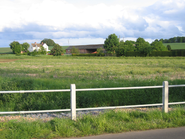
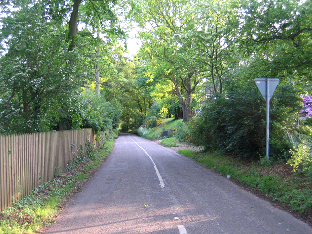
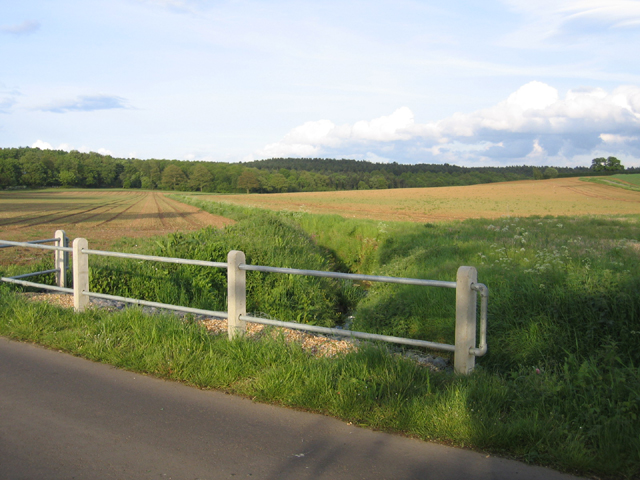
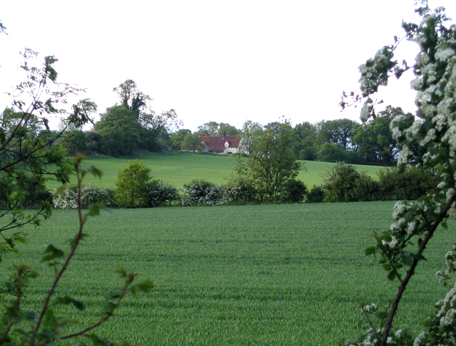
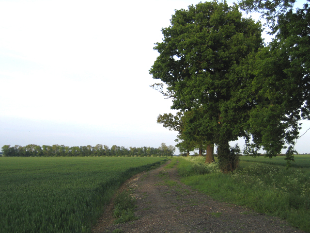
Appley Corner is a small village located in the county of Bedfordshire, England. Situated in the eastern part of the county, it is nestled amidst the picturesque countryside and offers a tranquil and rural setting. The village is part of the wider civil parish of Pulloxhill and is surrounded by rolling hills, lush green fields, and charming woodlands.

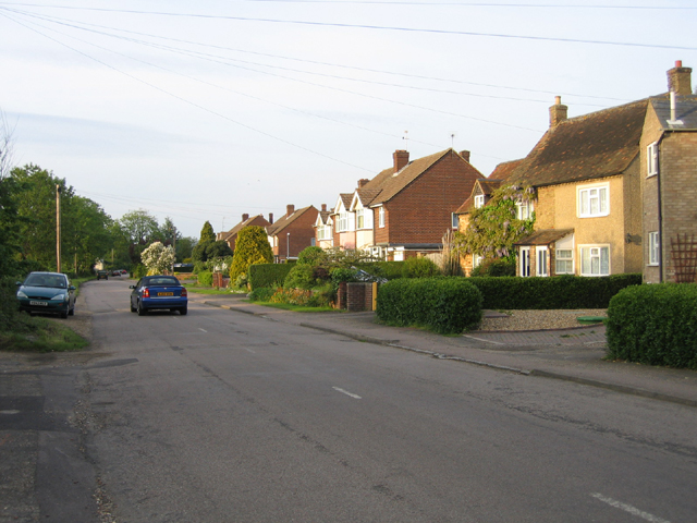
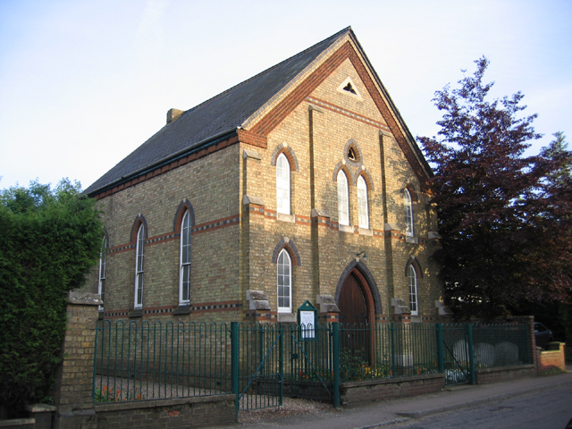
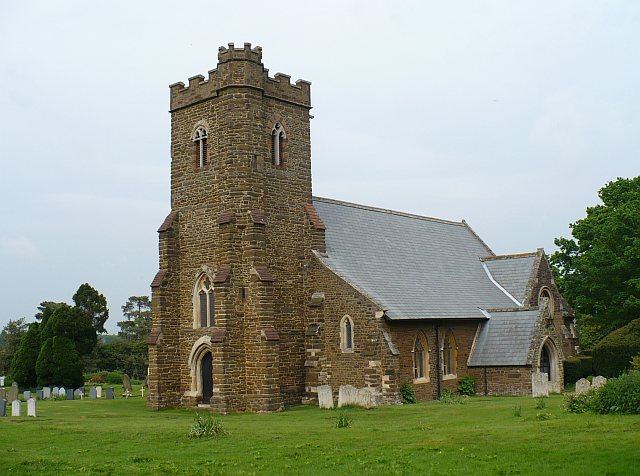
Despite its small size, Appley Corner boasts a close-knit community that takes pride in preserving its rural heritage. The village is characterized by traditional stone cottages, some of which date back to the 18th century, lending it a timeless charm. The local church, St. James' Church, is a prominent feature of the village and holds regular services for the community.

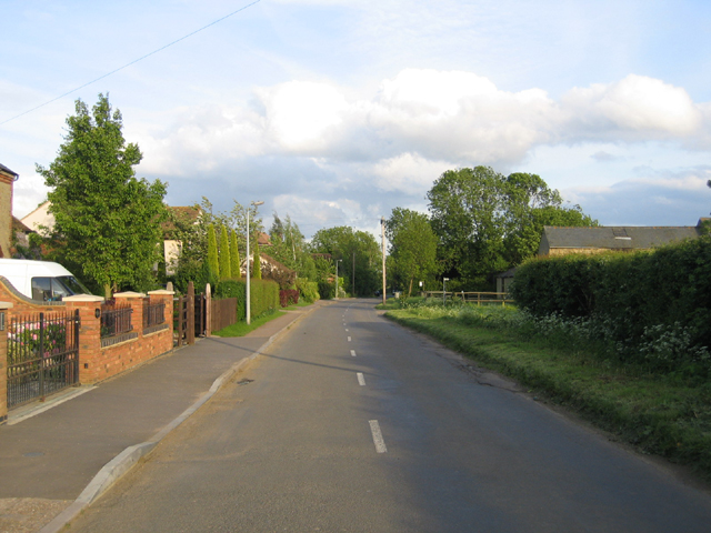
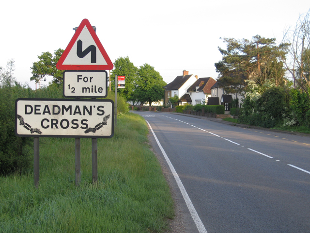
Appley Corner is well-connected to nearby towns and cities, with the A6 road running nearby, providing easy access to Bedford and Luton. Additionally, the village benefits from excellent transport links, with regular bus services connecting it to neighboring areas.

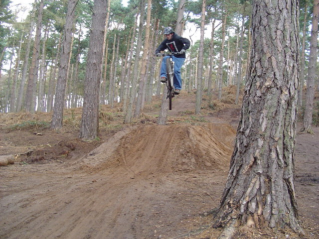
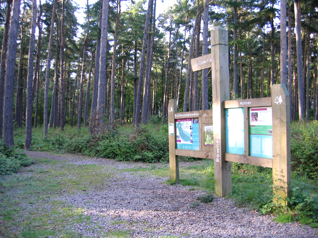
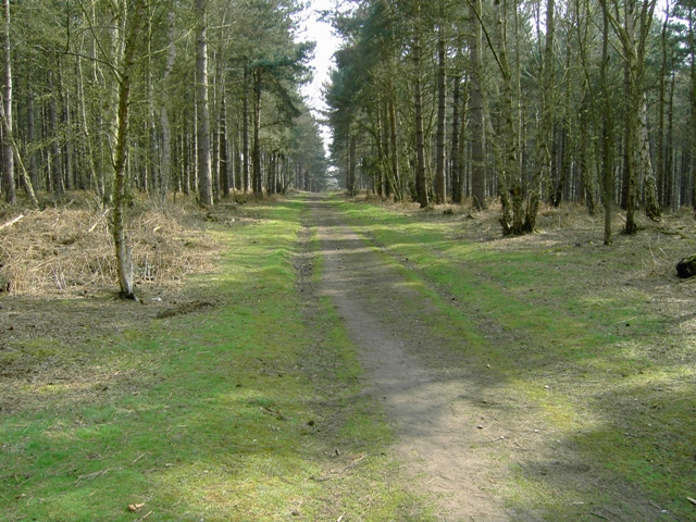
A stroll through the village reveals the idyllic countryside, with many residents enjoying scenic walks along the country lanes and footpaths that crisscross the area. The village also offers opportunities for recreational activities, such as cycling and horse riding, thanks to its proximity to the beautiful Bedfordshire countryside.

In terms of amenities, while Appley Corner itself may not have many facilities, the nearby towns of Flitwick and Ampthill offer a range of amenities including shops, schools, and healthcare facilities, ensuring that residents have easy access to essential services.

Overall, Appley Corner is a charming and peaceful village that provides a serene escape from the hustle and bustle of city life, making it an ideal place for those seeking a countryside lifestyle in Bedfordshire.

If you have any feedback on the listing, please let us know in the comments section below.

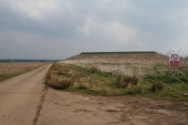
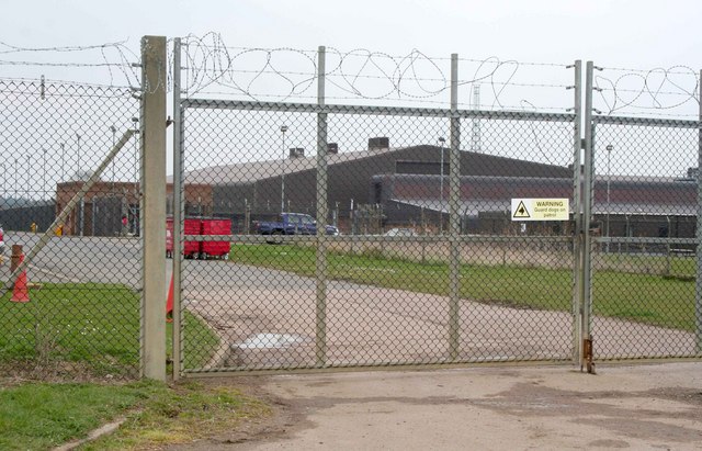
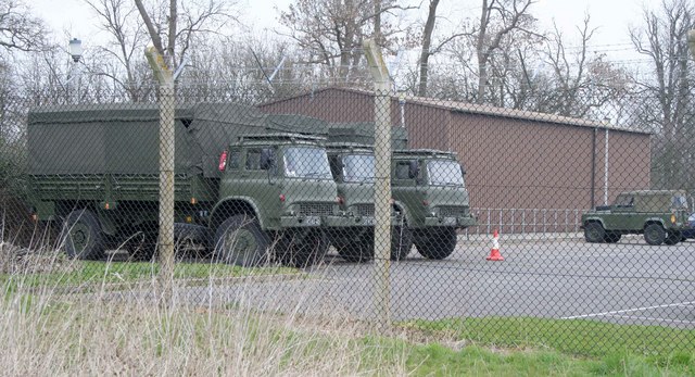
Appley Corner Images

Images are sourced within 2km of 52.057357/-0.38796727 or Grid Reference TL1041. Thanks to Geograph Open Source API. All images are credited.

Part of the car park for Rowney Warren Wood, Southill The car park is also a picnic area.
Part of the car park for Rowney Warren Wood, Southill
The car park is also a picnic area.
Dirt jumper on dirt jumps at Rowney Warren Woods
Rowney Warren pine woodland, Southill, Beds The information board beside the Sandy Lane car park.
Rowney Warren pine woodland, Southill, Beds
The information board beside the Sandy Lane car park.
Wood Farm, Appley Corner, Haynes, Beds – view from the Standalone Warren road.
Wood Farm, Appley Corner, Haynes, Beds
– view from the Standalone Warren road.
Northwood End Road, Haynes, Beds
Standalone Warren lane, Haynes, Beds between the A600 and Appley Corner.
Standalone Warren lane, Haynes, Beds
between the A600 and Appley Corner.
Valley from Appley Corner towards Rowney Warren, Beds forming the Haynes–Chicksands parish boundary; view from the Standalone Warren road.
Valley from Appley Corner towards Rowney Warren, Beds
forming the Haynes–Chicksands parish boundary; view from the Standalone Warren road.
Farmland, Haynes, Beds – view N from the John Bunyan Way towards Northwood End Road.
Farmland, Haynes, Beds
– view N from the John Bunyan Way towards Northwood End Road.
Silver End Road, Haynes, Beds – view along the main street in Haynes from near the Methodist Chapel towards the A600.
Silver End Road, Haynes, Beds
– view along the main street in Haynes from near the Methodist Chapel towards the A600.
Methodist Chapel, Silver End, Haynes, Beds The foundation stones were laid in Aug 1874.
Methodist Chapel, Silver End, Haynes, Beds
The foundation stones were laid in Aug 1874.
Entrance to Deadman's Cross, Haynes, Beds an amended road sign announces the hamlet on the A600, High Road.
Entrance to Deadman's Cross, Haynes, Beds
an amended road sign announces the hamlet on the A600, High Road.
Oak-lined farm track, Deadman's Cross, Beds
Ministry of Defence facility MOD generator truck, tent and radio transmitter masts 84m above sea level.  To the right is a firing range.
Ministry of Defence facility
MOD generator truck, tent and radio transmitter masts 84m above sea level. To the right is a firing range.
Firing Range Keep out when red flag is flying.  You can just see the flag behind and you could hear the gunfire.
Firing Range
Keep out when red flag is flying. You can just see the flag behind and you could hear the gunfire.
Military facility Some kind of military facility in Chicksands
Military facility
Some kind of military facility in Chicksands
Military vehicles at Chicksands Bedford trucks parked at this military installation at Chicksands
Military vehicles at Chicksands
Bedford trucks parked at this military installation at Chicksands
Tracks Crossing in Rowney Warren Wood
Track Looking SSE in Rowney Warren Wood
Show me another place!

Appley Corner is located at Grid Ref: TL1041 (Lat: 52.057357, Lng: -0.38796727)

Unitary Authority: Central Bedfordshire

Police Authority: Bedfordshire

What 3 Words

///wriggle.rollover.outbound. Near Haynes, Bedfordshire

Nearby Locations

Appley Corner

Related Wikis

Haynes, Bedfordshire

Haynes is a village and civil parish in Bedfordshire, England, about seven miles (11 km) south of Bedford. It includes the small hamlet of Haynes Church...

Woburn Sands Formation

The Woburn Sands Formation is a geological formation in England. Part of the Lower Greensand Group, it is the only unit of the group where it occurs, and...

Haynes Church End

Haynes Church End is located in the Central Bedfordshire district of Bedfordshire, England. The settlement is close to the larger villages of Houghton...

Camps End

Camps End is a hamlet near Castle Camps in Cambridgeshire, England. == References ==

Nearby Amenities

Located within 500m of 52.057357,-0.38796727
George Montague Dunk Earl of Halifax memorial
Historic: monument
Note: Died 8 June 1771
Lat/Long: 52.0534695/-0.390521
Barrier: kissing_gate
Foot: yes
Lat/Long: 52.0571272/-0.3880894
Appley Corner
Place: hamlet
Source: signage
Lat/Long: 52.0572247/-0.3880939
DeBe Lasers Ltd.
Addr Housenumber: Unit 3
Addr Postcode: MK45 3QQ
Addr Street: Appley Court, Appley Wood Corner
Email: info@debe.co.uk
Internet Access: wlan
Opening Hours: Mo-Fr 09:30-18:00
Operator: Neal U& Wendy
Phone: +44 1234 381107
Shop: electronics
Website: http://www.debe.co.uk
Lat/Long: 52.0565426/-0.3861826
Foot Bridge
Lat/Long: 52.0577002/-0.3857676
The data included in this document is from www.openstreetmap.org. The data is made available under ODbL.

Have you been to Appley Corner?

Leave your review of Appley Corner below (or comments, questions and feedback).