Amisfield

Settlement in Dumfriesshire

Scotland

Amisfield

Rowing up Getting in the silage off Blairhall Lane near Amisfield.
Rowing up Credit: Richard Webb

Amisfield is a small village located in the region of Dumfriesshire in southwest Scotland. Situated approximately 4 miles northwest of Dumfries, it lies along the A701 road, offering convenient access to the nearby town and other surrounding areas.

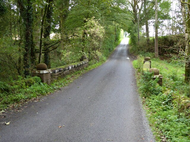
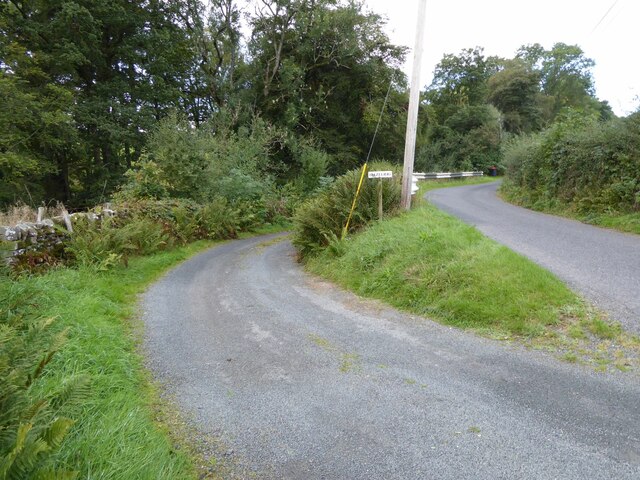
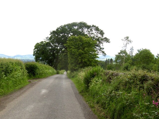
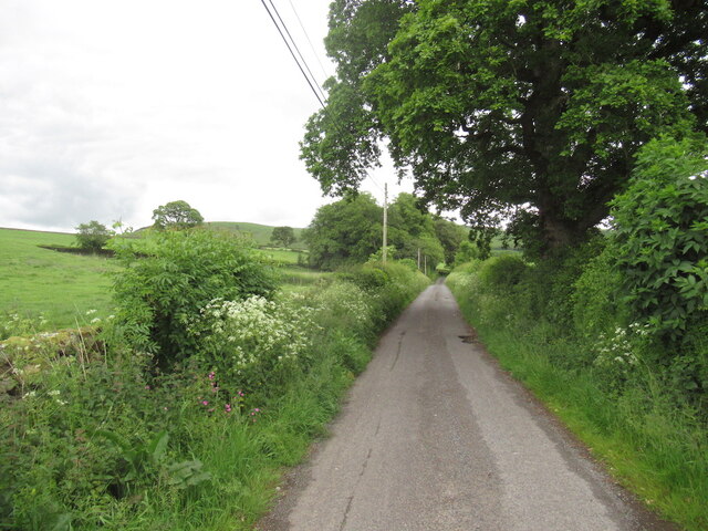
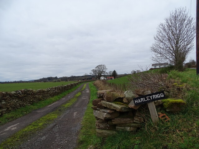
The village is surrounded by picturesque countryside, characterized by rolling hills, farmland, and the beautiful River Nith flowing nearby. This tranquil setting provides residents with a peaceful and idyllic environment.

Amisfield's history dates back centuries, with evidence of human settlement in the area since ancient times. The village itself has a rich heritage, with several historic buildings and landmarks. The Amisfield Tower, a 16th-century tower house, stands as a testament to the village's past. This impressive structure is a prominent feature and a reminder of the area's historical significance.

Despite its small size, Amisfield offers a range of amenities and facilities to its residents. These include a local primary school, a community hall, and a small number of shops and businesses. The village also boasts a close-knit community, and residents often come together for various social events and activities.

Amisfield's location provides easy access to the bustling town of Dumfries, where a wider range of amenities, services, and recreational opportunities can be found. With its beautiful surroundings, rich history, and strong sense of community, Amisfield offers a tranquil and welcoming place to call home.

If you have any feedback on the listing, please let us know in the comments section below.

Amisfield Images

Images are sourced within 2km of 55.12913/-3.5711399 or Grid Reference NX9982. Thanks to Geograph Open Source API. All images are credited.

Rowing up Getting in the silage off Blairhall Lane near Amisfield.
Rowing up
Getting in the silage off Blairhall Lane near Amisfield.
Covenanter's Monument Covenanter's Monument in Tinwald graveyard.
Covenanter's Monument
Covenanter's Monument in Tinwald graveyard.
A701 towards Dumfries
Lodge to Riddingwood House In Nithsdale.
Lodge to Riddingwood House
In Nithsdale.
Parkburn Bridge Surprisingly over the Park Burn!
Parkburn Bridge
Surprisingly over the Park Burn!
Abutments from disused railway near Amisfield Amisfield railway station was a station which served Amisfield, in the Scottish county of Dumfries and Galloway. It was served by trains on a local line which ran between the Caledonian Main Line (now known as the West Coast Main Line) at Lockerbie and the Castle Douglas and Dumfries Railway at Dumfries.
Abutments from disused railway near Amisfield
Amisfield railway station was a station which served Amisfield, in the Scottish county of Dumfries and Galloway. It was served by trains on a local line which ran between the Caledonian Main Line (now known as the West Coast Main Line) at Lockerbie and the Castle Douglas and Dumfries Railway at Dumfries.
The turning for Hazelrig South of Amisfield Tower.
The turning for Hazelrig
South of Amisfield Tower.
Country lane With profusion of poles!
Country lane
With profusion of poles!
Carved stone in wall of St Blane's cemetery When Duncow House was demolished in the 1960s, the stone work was used to build and mend many local walls.
Carved stone in wall of St Blane's cemetery
When Duncow House was demolished in the 1960s, the stone work was used to build and mend many local walls.
New mown grass Starting off a field of silage near Amisfield.
New mown grass
Starting off a field of silage near Amisfield.
Blairhall Road, Amisfield
Lane near Amisfield
Lane near Amisfield
Harleyrigg Harleyrigg road-end.
Harleyrigg
Harleyrigg road-end.
A701 near Tinwald
A701 near Tinwald
Crossroads near Riddingwood House
Road junctions near Kirkton
A701 approaching junction at Amisfield Townfoot Looking north
A701 approaching junction at Amisfield Townfoot
Looking north
Site of Amisfield station, 1991 View SE, where the ex-Caledonian line used to cross, from Lockerbie (left) to Dumfries (right). The station had been closed from 19/5/52 and the line from 18/4/66, so little wonder it had been built over.
Site of Amisfield station, 1991
View SE, where the ex-Caledonian line used to cross, from Lockerbie (left) to Dumfries (right). The station had been closed from 19/5/52 and the line from 18/4/66, so little wonder it had been built over.
Show me another place!

Amisfield is located at Grid Ref: NX9982 (Lat: 55.12913, Lng: -3.5711399)

Unitary Authority: Dumfries and Galloway

Police Authority: Dumfries and Galloway

What 3 Words

///betraying.beast.coherent. Near Locharbriggs, Dumfries & Galloway

Nearby Locations

Amisfield

Related Wikis

Amisfield railway station

Amisfield railway station was a station which served Amisfield, in the Scottish county of Dumfries and Galloway. It was served by trains on a local line...

Amisfield

Amisfield is a village in Dumfries and Galloway, Scotland. It is located about 5 miles north of Dumfries and next to the A701 Dumfries to Edinburgh road...

Tinwald, Dumfries and Galloway

Tinwald is a village in Dumfries and Galloway, south-west Scotland, lying a little north of Locharbriggs outside Dumfries. Tinwald is also the name of...

Locharbriggs railway station

Locharbriggs railway station was a station which served Locharbriggs, in the Scottish county of Dumfries and Galloway. It was served by trains on a local...

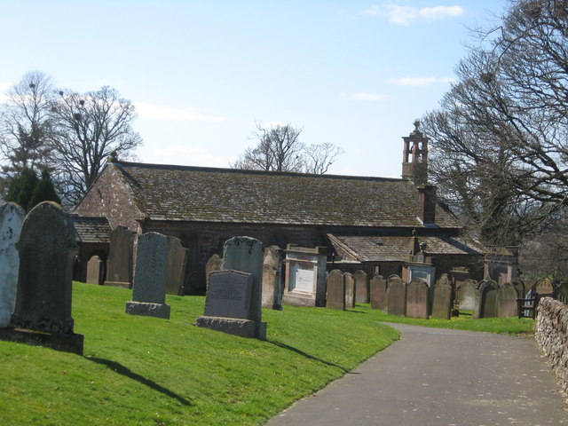
Kirkton, Dumfries and Galloway

Kirkton is a small village between Duncow and Dumfries in Dumfries and Galloway, Scotland. It is located near the River Nith and has a Grade B listed church...

Duncow

Duncow is a small settlement in the civil parish of Kirkmahoe, Dumfries and Galloway, Scotland. Located in the geographical centre of the parish, Duncow...

Locharbriggs

Locharbriggs is a village in Dumfries and Galloway, Scotland. It is located near the Lochar Water, 2.7 miles (4.3 km) north-northeast of the town of Dumfries...

Kirkmahoe

Kirkmahoe is a civil parish in Dumfries and Galloway. The parish contains the settlements Kirkton, where the parish church is located, Dalswinton and...

Nearby Amenities

Located within 500m of 55.12913,-3.5711399
Village (A701)
Naptan AtcoCode: 680000079111
Naptan Bearing: NE
Naptan BusStopType: CUS
Naptan CommonName: Village (A701)
Naptan Indicator: at Cross
Naptan Landmark: Cross
Naptan NaptanCode: 34232872
Naptan Notes: none
Naptan Street: A701
Naptan Verified: no
Source: naptan_import
Lat/Long: 55.125641/-3.5685049
Village (A701)
Naptan AtcoCode: 680000079222
Naptan Bearing: S
Naptan BusStopType: CUS
Naptan CommonName: Village (A701)
Naptan Indicator: opp Cross
Naptan Landmark: C9
Naptan NaptanCode: 34238524
Naptan Notes: none
Naptan Street: A701
Naptan Verified: no
Source: naptan_import
Lat/Long: 55.1255697/-3.5684551
Bus Stop
Village
Naptan AtcoCode: 680000079501
Naptan Bearing: S
Naptan CommonName: Village
Naptan Indicator: opp School
Naptan Landmark: Primary School
Naptan NaptanCode: 34232878
Naptan Notes: none
Naptan Street: Main Street
Naptan Verified: no
Source: naptan_import
Lat/Long: 55.1294808/-3.567636
Bus Stop
Village
Naptan AtcoCode: 680000079502
Naptan Bearing: N
Naptan CommonName: Village
Naptan Indicator: School
Naptan Landmark: Primary School
Naptan NaptanCode: 34232879
Naptan Notes: none
Naptan Street: Main Street
Naptan Verified: no
Source: naptan_import
Lat/Long: 55.1299716/-3.5679062
Amisfield
Abandoned Railway: station
Railway: site
Source: NPE
Lat/Long: 55.1290249/-3.5726464
Partridge Cottage CAMC CL
Addr City: Amisfield, Dumfries
Addr Housename: Partridge Cottage
Addr Postcode: DG1 3PB
Capacity: 5
Description: UK Caravan & Motorhome Club Certificated Location. Members only.
Power Supply: yes
Sanitary Dump Station: yes
Tourism: caravan_site
Lat/Long: 55.1323173/-3.5741832
Tinwald Paris War Memorial
Historic: memorial
Memorial: war_memorial
Lat/Long: 55.1254488/-3.569126
Defibrillator
Defibrillator Location: Amisfield. Tinwald Parish Hall. External wall. Left hand side, front of building.
Emergency: defibrillator
Indoor: no
Lat/Long: 55.131427/-3.5667452
Power: pole
Lat/Long: 55.1300115/-3.568017
Power: pole
Lat/Long: 55.1301529/-3.5685142
Power: pole
Lat/Long: 55.130387/-3.5693231
Power: pole
Lat/Long: 55.1306801/-3.570338
Power: pole
Lat/Long: 55.1312898/-3.5698949
Power: pole
Lat/Long: 55.13187/-3.5694596
Power: pole
Lat/Long: 55.132166/-3.5680866
Power: pole
Lat/Long: 55.1327669/-3.5675663
Power: pole
Lat/Long: 55.1306153/-3.570508
Power: pole
Lat/Long: 55.1307847/-3.5712705
Power: pole
Lat/Long: 55.1309585/-3.5720664
Power: pole
Lat/Long: 55.131144/-3.5728521
Power: pole
Lat/Long: 55.1278259/-3.5678316
Power: pole
Lat/Long: 55.1281632/-3.5692252
Power: pole
Lat/Long: 55.1285329/-3.5706703
Power: pole
Lat/Long: 55.1288613/-3.5716388
Power: pole
Lat/Long: 55.1290969/-3.5723163
Power: pole
Lat/Long: 55.1247469/-3.5723176
Power: pole
Lat/Long: 55.12504/-3.5723897
Power: pole
Lat/Long: 55.1260166/-3.5726319
Power: pole
Lat/Long: 55.1268885/-3.5728328
Power: pole
Lat/Long: 55.127647/-3.5730234
Power: pole
Lat/Long: 55.1283539/-3.5732089
Noexit: yes
Lat/Long: 55.131445/-3.5661699
The data included in this document is from www.openstreetmap.org. The data is made available under ODbL.

Have you been to Amisfield?

Leave your review of Amisfield below (or comments, questions and feedback).