Ambergate

Settlement in Derbyshire Amber Valley

England

Ambergate

Wyver Lane - View towards the Derwent and Railway
Wyver Lane - View towards the Derwent and Railway Credit: Alan Heardman

Ambergate is a small village located in the county of Derbyshire, England. Situated in the Amber Valley district, it lies approximately 6 miles north of the bustling town of Belper and 12 miles north of the city of Derby. Nestled in the beautiful Amber Valley, the village is surrounded by picturesque countryside, offering stunning views and a tranquil atmosphere.

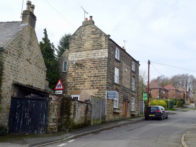
The village is primarily residential, with a mix of traditional stone cottages and modern houses. It has a close-knit community, with a population of around 1,500 residents. The village is well-served by amenities, including a convenience store, post office, primary school, and a number of pubs and restaurants, providing locals with essential services and social spaces.

Ambergate is known for its excellent transport links. It is located on the A6 road, which connects it to nearby towns and cities, and the M1 motorway is easily accessible for those traveling further afield. The village also benefits from its own train station, providing regular services to Derby, Nottingham, and Sheffield.

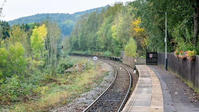
The village is surrounded by a wealth of natural beauty, making it a popular spot for outdoor enthusiasts. The nearby Derwent Valley offers scenic walking and cycling routes, and the Peak District National Park is just a short drive away, providing opportunities for hiking, climbing, and exploring the stunning landscapes of the area.

In summary, Ambergate is a charming village in Derbyshire, offering a peaceful and picturesque setting, a strong sense of community, and easy access to both urban amenities and natural beauty.

If you have any feedback on the listing, please let us know in the comments section below.
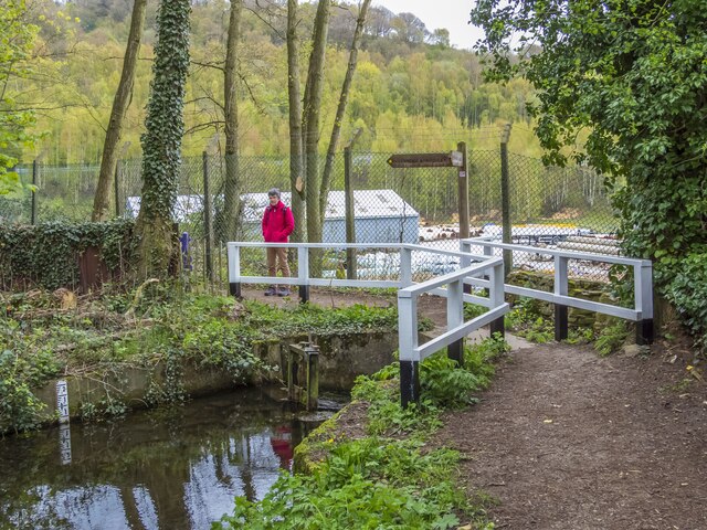
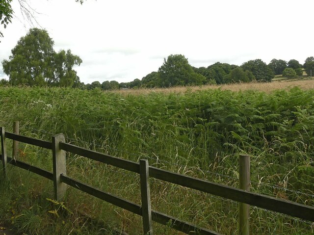
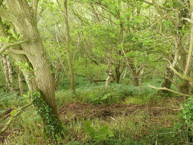
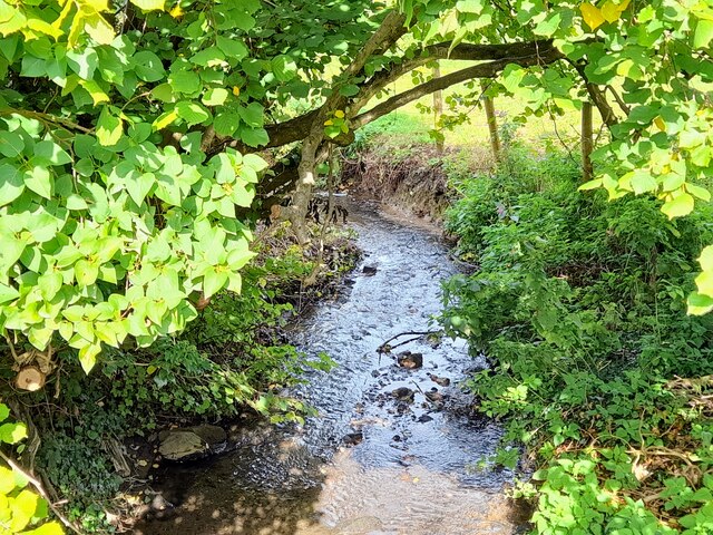
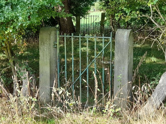
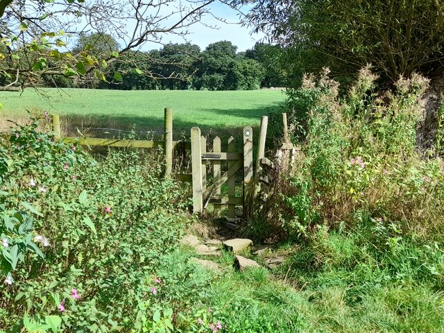
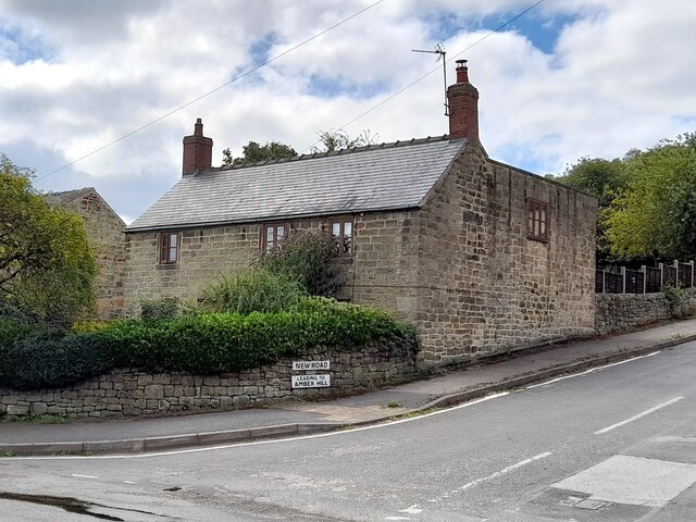
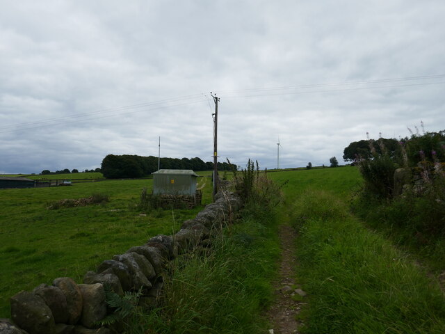
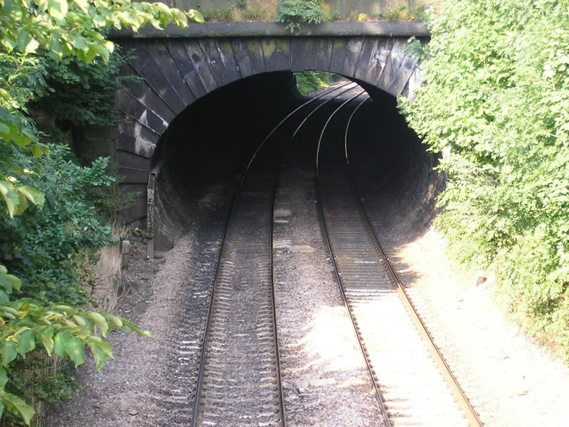
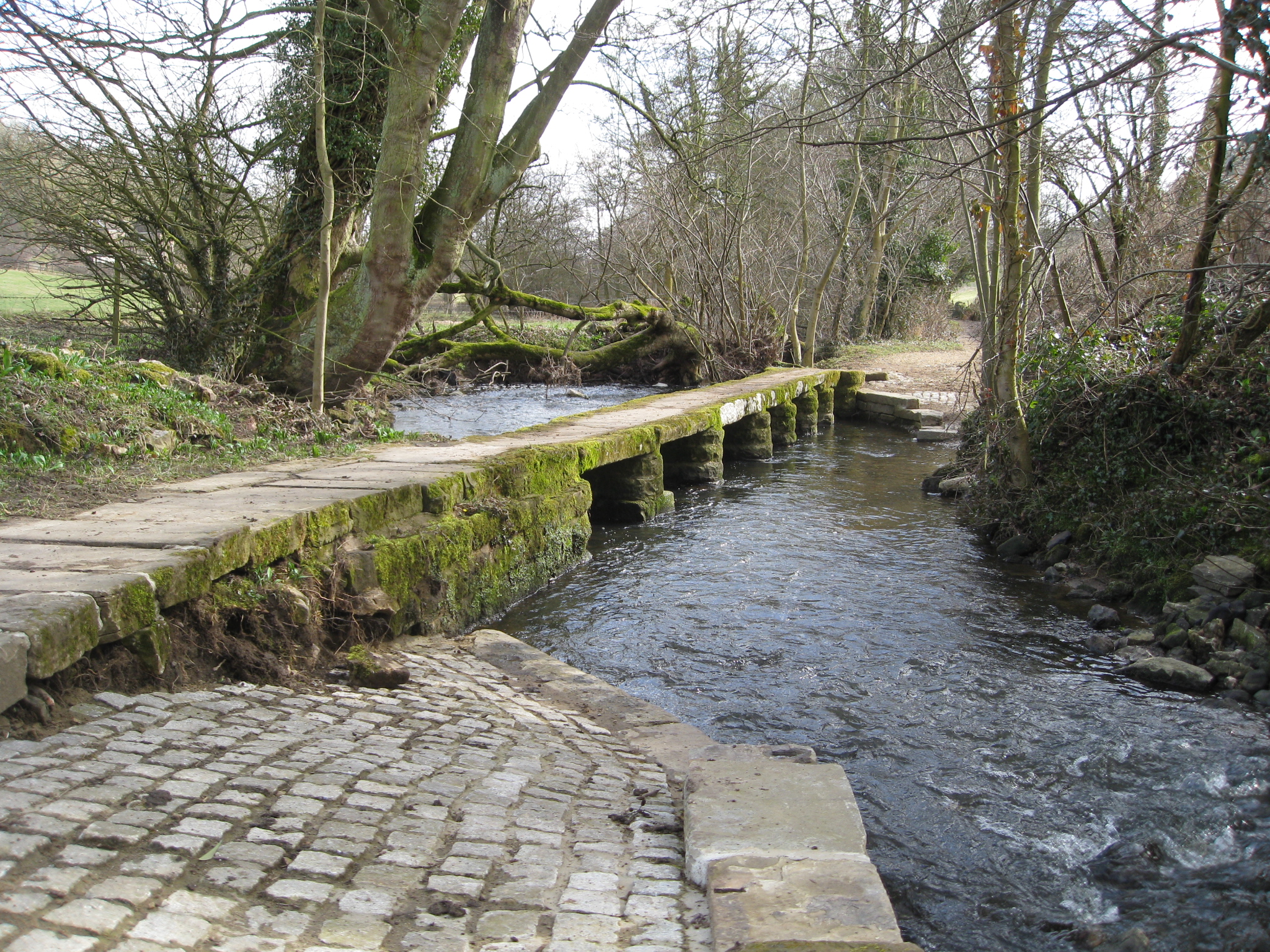
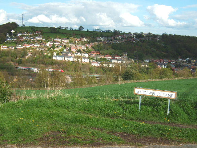
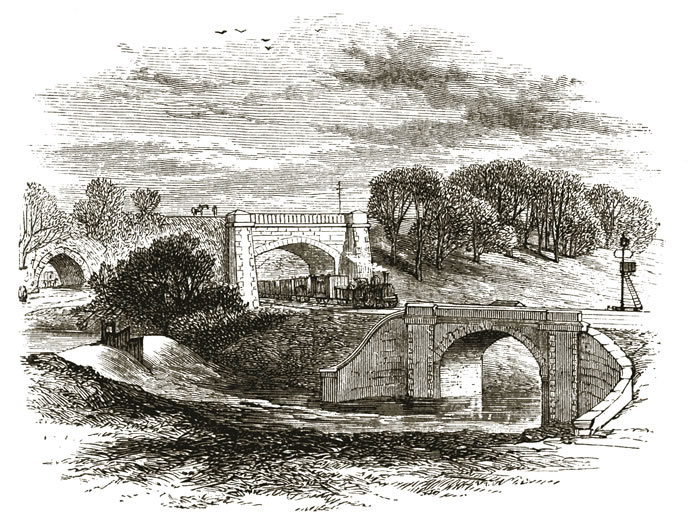
Ambergate Images

Images are sourced within 2km of 53.060716/-1.4814411 or Grid Reference SK3451. Thanks to Geograph Open Source API. All images are credited.

Wyver Lane - View towards the Derwent and Railway
Derwent Valley View from Matlock Road
Derwent Valley
View from Matlock Road
North end of Ambergate Station
The former Shoulder of Mutton The Shoulder of Mutton closed down in 1971 and is now a house.
The former Shoulder of Mutton
The Shoulder of Mutton closed down in 1971 and is now a house.
The Great British Car Journey A car museum that opened in May 2021. The museum's exhibits consist of over 130 cars that illustrate the history of British car design and production between 1922 and the present day. The museum occupies a 4-acre site of a former wire works.
The Great British Car Journey
A car museum that opened in May 2021. The museum's exhibits consist of over 130 cars that illustrate the history of British car design and production between 1922 and the present day. The museum occupies a 4-acre site of a former wire works.
The Great British Car Journey - entrance A car museum that opened in May 2021. The museum's exhibits consist of over 130 cars that illustrate the history of British car design and production between 1922 and the present day. The museum occupies a 4-acre site of a former wire works.
The Great British Car Journey - entrance
A car museum that opened in May 2021. The museum's exhibits consist of over 130 cars that illustrate the history of British car design and production between 1922 and the present day. The museum occupies a 4-acre site of a former wire works.
End of Cromford Canal Before the construction of various works at this location, the canal ran through a short tunnel and then crossed both the main Derby to Sheffield railway line and the A610 road via a long and interesting aqueduct which has now been demolished. Nowadays, this waterway terminates here and is crossed by a diversionary footpath with a run off sluice.
End of Cromford Canal
Before the construction of various works at this location, the canal ran through a short tunnel and then crossed both the main Derby to Sheffield railway line and the A610 road via a long and interesting aqueduct which has now been demolished. Nowadays, this waterway terminates here and is crossed by a diversionary footpath with a run off sluice.
Fields below Chadwick Nick Looking north west. The deep-cut Derwent valley is totally lost from view in this landscape.
Fields below Chadwick Nick
Looking north west. The deep-cut Derwent valley is totally lost from view in this landscape.
Fields to West of Chadwick Nick Recreating this 'First' for the square <a title="https://www.geograph.org.uk/photo/16558" href="https://www.geograph.org.uk/photo/16558">Link</a>
Fields to West of Chadwick Nick
Recreating this 'First' for the square Link
Crich Chase Woodland on the steep side of the valley of the River Derwent. This is designated an SSSI; the designation includes the following comments: “The majority of the site supports an extensive area of ancient semi-natural woodland forming one
of the largest and most structurally diverse semi-natural woodlands remaining in the Derwent
valley of Derbyshire and of interest being on the upland fringes of the Peak District. . . The uppermost slopes of the Chase are characterised by more open woodland stands on thinner
soils, dominated by silver birch with scattered oak and occasionally sycamore and young rowan
Sorbus aucuparia.” This view is a good example of the latter section.
Crich Chase
Woodland on the steep side of the valley of the River Derwent. This is designated an SSSI; the designation includes the following comments: “The majority of the site supports an extensive area of ancient semi-natural woodland forming one of the largest and most structurally diverse semi-natural woodlands remaining in the Derwent valley of Derbyshire and of interest being on the upland fringes of the Peak District. . . The uppermost slopes of the Chase are characterised by more open woodland stands on thinner soils, dominated by silver birch with scattered oak and occasionally sycamore and young rowan Sorbus aucuparia.” This view is a good example of the latter section.
Downmeadow Brook
Downmeadow Brook
Three Derwent Aqueduct (Nottingham Pipe) access gates in a line These distinctive gates mark the line of the Derwent Aqueduct, laid in the early 20th century to bring water from the Derwent reservoirs to Derby, Leicester and Nottingham.
Three Derwent Aqueduct (Nottingham Pipe) access gates in a line
These distinctive gates mark the line of the Derwent Aqueduct, laid in the early 20th century to bring water from the Derwent reservoirs to Derby, Leicester and Nottingham.
Gate on a footpath to Buckland Hollow
Ambergate Junction Derwent Valley Line train crossing the Derwent and A6 having just branched off the East Midlands main line at Ambergate.
Ambergate Junction
Derwent Valley Line train crossing the Derwent and A6 having just branched off the East Midlands main line at Ambergate.
Victory Cottage Once a pub or inn called "The Victory".
Victory Cottage
Once a pub or inn called "The Victory".
Briars Lane A private access road to "The Briars".
Briars Lane
A private access road to "The Briars".
Footpath in The Birches
Farm track near Wiggonlea Farm
Show me another place!

Ambergate is located at Grid Ref: SK3451 (Lat: 53.060716, Lng: -1.4814411)

Administrative County: Derbyshire

District: Amber Valley

Police Authority: Derbyshire

What 3 Words

///pose.mailers.searches. Near Heage, Derbyshire

Related Wikis

Related Videos

Peak District, Cromford and the Derwent Valley

Derwent Valley Mills is a World Heritage Site along the River Derwent in Derbyshire, England. The modern factory, or 'mill', ...

BULLBRIDGE & FRITCHLEY HIKE || a circular round trip near Belper 🌿

The first walk of the New Year! Link to the walk: https://www.alltrails.com/trail/england/derbyshire/bullbridge-and-fritchley-circular ...

CROMFORD WOODLAND WALK || Sam and Jack join me at Cromford 🧀🌞🌲

Exploring Cromford Mill, buying cheese and a woodland walk. Link to the walk: ...

4k Nature walk

A cinematic walk through Shining Cliff woods Derbyshire.

Nearby Amenities

Located within 500m of 53.060716,-1.4814411
Ambergate Curve Junction
Historic Railway: junction
Railway: site
Lat/Long: 53.0612677/-1.4782351
Ambergate
Place: village
Wikidata: Q3303858
Lat/Long: 53.0607122/-1.4805997
Restaurant
Anila
Addr City: Belper
Addr Housenumber: 1331
Addr Postcode: DE56 2EL
Addr Street: Matlock Road
Addr Village: Ambergate
Cuisine: indian
Fhrs Id: 5697
Note: former Little Chef building
Old Name: Memory of China;Oriental Palace
Source: survey;twitter
Website: https://anila.uk/
Lat/Long: 53.0610955/-1.4814278
Maxheight: 3.9
Maxheight Ft: 13'1''
Lat/Long: 53.0621324/-1.4753785
Ambergate West Junction
Historic Railway: junction
Railway: site
Wikidata: Q124397349
Lat/Long: 53.0622915/-1.4819933
Cromford Canal
Description: Cromford Canal information board
Information: board
Tourism: information
Lat/Long: 53.0638183/-1.4820768
Historic Operator: Derwent Valley Water Board
Location: partially_underground
Operator: Severn Trent Water
Pipeline: valve
Lat/Long: 53.0637131/-1.4788634
Barrier: stile
Steps: 2
Stile: stepover
Lat/Long: 53.0646633/-1.4790503
Parking
Description: Parking by side of road
Ele: 79.9146729
Lat/Long: 53.0589401/-1.4848507
Fuel
Addr City: Belper
Addr Postcode: DE56 2EJ
Brand: Essar
Fuel Diesel: yes
Old Operator: BP
Operator: Essar
Lat/Long: 53.0583894/-1.4828017
Morrisons Daily
Addr City: Belper
Addr Postcode: DE56 2EJ
Addr Street: Derby Road
Addr Village: Ambergate
Brand: Morrisons Daily
Brand Wikidata: Q99752411
Fhrs Id: 1282
Old Name: Spar
Shop: convenience
Website: https://my.morrisons.com/storefinder/30108/morrisons-daily-riverside
Lat/Long: 53.0584311/-1.4829886
Post Box
Brand: Royal Mail
Brand Wikidata: Q638098
Brand Wikipedia: en:Royal Mail
Operator: Royal Mail
Operator Wikidata: Q638098
Post Box Type: lamp
Ref: DE56 283
Royal Cypher: EIIR
Royal Cypher Wikidata: Q33102113
Lat/Long: 53.0585413/-1.4824747
Post Box
Brand: Royal Mail
Brand Wikidata: Q638098
Brand Wikipedia: en:Royal Mail
Operator: Royal Mail
Operator Wikidata: Q638098
Ref: DE56 320
Lat/Long: 53.0576875/-1.4803088
Post Box
Brand: Royal Mail
Brand Wikidata: Q638098
Brand Wikipedia: en:Royal Mail
Operator: Royal Mail
Operator Wikidata: Q638098
Post Box Type: lamp
Ref: DE56 171D
Royal Cypher: EIIR
Royal Cypher Wikidata: Q33102113
Lat/Long: 53.0609075/-1.4807436
Ele: 60.2078857
Lat/Long: 53.0606141/-1.4813243
Ele: 68.6192627
Lat/Long: 53.0595746/-1.485289
Ele: 71.2629395
Lat/Long: 53.0595862/-1.4852217
Ele: 78.7131348
Lat/Long: 53.0590168/-1.4853256
Ele: 75.1081543
Lat/Long: 53.059264/-1.4851552
Ele: 86
Lat/Long: 53.0619691/-1.48849
Ele: 88
Lat/Long: 53.0618222/-1.4881917
Ele: 101
Lat/Long: 53.0608889/-1.487134
Ele: 106
Lat/Long: 53.060347/-1.4871947
Ele: 110
Lat/Long: 53.0597479/-1.4873475
Description: Looks like 3G Mobile phone mast
Ele: 63.8127441
Man Made: tower
Lat/Long: 53.0624682/-1.475813
Ele: 65.9757080
Lat/Long: 53.0626896/-1.4749598
Ele: 65.7353516
Lat/Long: 53.0627127/-1.4748728
Ele: 69.3403320
Lat/Long: 53.0624308/-1.4746415
Ele: 65.2547607
Lat/Long: 53.0624876/-1.4754644
Ele: 64.0531006
Lat/Long: 53.0623729/-1.475751
Bus Stop
Bus: yes
Ele: 59
Public Transport: platform
Lat/Long: 53.0597344/-1.4813652
Ele: 57
Former Amenity: cafe
Former Name: The Corner Cafe
Note: Seems to be some sort of office now
Office: yes
Lat/Long: 53.0604102/-1.481093
Bus Stop
Bus: yes
Ele: 61.6499023
Public Transport: platform
Lat/Long: 53.0623296/-1.4833071
Note: 50 mph speed limit sign northbound
Lat/Long: 53.0636155/-1.4858776
Speed Camera
Source: survey
Lat/Long: 53.0618404/-1.4824727
Bus Stop
Bus: yes
Naptan AtcoCode: 1000DARRR732
Naptan NaptanCode: dbsgwgdt
Public Transport: platform
Lat/Long: 53.0610476/-1.4804188
Bus Stop
Bus: yes
Public Transport: platform
Lat/Long: 53.0627689/-1.4837447
Bus Stop
Bus: yes
Public Transport: platform
Lat/Long: 53.0613732/-1.4799628
Description: Mobile phone mast
Man Made: tower
Lat/Long: 53.0599915/-1.4808049
Ambergate
Historic Railway: station
Railway: site
Lat/Long: 53.0607822/-1.4798498
Ambergate North Junction
Historic Railway: junction
Railway: site
Lat/Long: 53.0616729/-1.4763391
Ambergate
Public Transport: stop_position
Railway: stop
Ref: 1
Train: yes
Lat/Long: 53.060482/-1.4808642
Ambergate
Addr City: Belper
Addr Postcode: DE56 2EN
Addr Street: Midland Terrace
Naptan AtcoCode: 9100AMBERGT
Network: National Rail
Network Website: https://www.nationalrail.co.uk/stations/amb/
Network Wikidata: Q26334
Public Transport: station
Railway: station
Ref Crs: AMB
Wikidata: Q2100978
Wikipedia: en:Ambergate railway station
Lat/Long: 53.0604187/-1.4808654
Pipeline: valve
Source: Bing
Lat/Long: 53.0581392/-1.4753248
Pipeline: valve
Source: Bing
Lat/Long: 53.0581315/-1.4753696
Historic Operator: Derwent Valley Water Board
Location: partially_underground
Operator: Severn Trent Water
Pipeline: valve
Lat/Long: 53.063719/-1.4788388
Historic Operator: Derwent Valley Water Board
Location: partially_underground
Operator: Severn Trent Water
Pipeline: valve
Substance: water
Lat/Long: 53.0627155/-1.4782344
Historic Operator: Derwent Valley Water Board
Location: partially_underground
Operator: Severn Trent Water
Pipeline: valve
Substance: water
Lat/Long: 53.0627232/-1.4781982
Ambergate Station Junction
Historic Railway: junction
Railway: site
Wikidata: Q124397327
Lat/Long: 53.0598658/-1.4811325
Information: board
Tourism: information
Lat/Long: 53.0594357/-1.4850074
Bus Stop
Bench: yes
Bus: yes
Naptan AtcoCode: 100051244
Naptan NaptanCode: dbsjajpd
Public Transport: platform
Shelter: yes
Lat/Long: 53.0588761/-1.4821648
Bus Stop
Bus: yes
Public Transport: platform
Lat/Long: 53.0603189/-1.4814434
Devan Chemicals
Shop: yes
Lat/Long: 53.0620918/-1.4784799
Pipeline: valve
Source: View from north
Lat/Long: 53.0640858/-1.479105
Power: pole
Lat/Long: 53.0624116/-1.4809612
Power: pole
Lat/Long: 53.062523/-1.4812029
Power: pole
Lat/Long: 53.0630422/-1.4802217
Power: pole
Lat/Long: 53.0631447/-1.4803113
Power: pole
Lat/Long: 53.0636329/-1.4796346
Power: pole
Lat/Long: 53.0644629/-1.4794732
Power: pole
Lat/Long: 53.0650515/-1.4796083
Bicycle Parking
Bicycle Parking: stands
Capacity: 6
Covered: yes
Lat/Long: 53.0604661/-1.4807063
Atm
Lat/Long: 53.0584274/-1.4829055
Vending Machine
Vending: public_transport_tickets
Lat/Long: 53.0605007/-1.4807595
Generator Method: photovoltaic
Generator Output Electricity: yes
Generator Source: solar
Generator Type: solar_photovoltaic_panel
Location: roof
Power: generator
Lat/Long: 53.0582961/-1.4803934
Location Transition: yes
Power: pole
Lat/Long: 53.061323/-1.4742145
Power: pole
Lat/Long: 53.0608974/-1.4744747
Power: pole
Lat/Long: 53.0603381/-1.4748019
Power: pole
Lat/Long: 53.0598223/-1.4750782
Power: pole
Lat/Long: 53.0594418/-1.4746383
Power: pole
Lat/Long: 53.0624879/-1.4811319
Power: pole
Lat/Long: 53.0638408/-1.47927
Power: transformer
Lat/Long: 53.0629475/-1.482822
Power: transformer
Lat/Long: 53.0628994/-1.4826957
Man Made: tower
Tower Type: communication
Lat/Long: 53.0581273/-1.4762899
Power: pole
Lat/Long: 53.0575681/-1.4863216
Power: pole
Lat/Long: 53.0580715/-1.4866402
Power: pole
Lat/Long: 53.0595302/-1.4876863
Power: pole
Lat/Long: 53.0604495/-1.4881942
Power: pole
Lat/Long: 53.061331/-1.4887773
Historic Operator: Derwent Valley Water Board
Location: partially_underground
Operator: Severn Trent Water
Pipeline: valve
Substance: water
Lat/Long: 53.0625309/-1.4780789
Historic Operator: Derwent Valley Water Board
Location: partially_underground
Operator: Severn Trent Water
Pipeline: valve
Substance: water
Lat/Long: 53.0625244/-1.4781149
Location: surface
Man Made: manhole
Lat/Long: 53.0607679/-1.4769819
Location: surface
Man Made: manhole
Lat/Long: 53.0601826/-1.4766509
The data included in this document is from www.openstreetmap.org. The data is made available under ODbL.

Have you been to Ambergate?

Leave your review of Ambergate below (or comments, questions and feedback).