Almodington
Settlement in Sussex Chichester
England
Almodington
Almodington is a small village located in the district of Chichester, West Sussex, England. Situated on the south coast, it lies approximately 6 miles southwest of Chichester and 3 miles northeast of Selsey. The village is nestled between the B2145 road and the Pagham Harbour Nature Reserve, offering picturesque views of the surrounding countryside and coastline.
Almodington is a rural community with a population of around 400 residents. The village exudes a tranquil and idyllic atmosphere, making it a popular destination for those seeking a quiet countryside retreat. The area is predominantly residential, consisting of traditional cottages and farmhouses, giving it a charming and timeless character.
The village is well-connected to nearby towns and cities, with regular bus services passing through, providing easy access to Chichester and other local amenities. The nearby train station in Chichester offers further transportation options for residents and visitors.
Nature enthusiasts are drawn to Almodington due to its proximity to the Pagham Harbour Nature Reserve. This internationally important wetland site is home to a diverse array of wildlife, including numerous bird species, making it a paradise for bird watchers and nature photographers.
While Almodington does not have its own shops or amenities, the village benefits from its close proximity to Selsey and Chichester, where residents can find a range of shops, supermarkets, restaurants, and leisure facilities.
Overall, Almodington is a delightful village, offering a peaceful and scenic setting, ideal for those seeking a rural escape or a base for exploring the stunning Sussex countryside.
If you have any feedback on the listing, please let us know in the comments section below.
Almodington Images
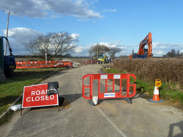
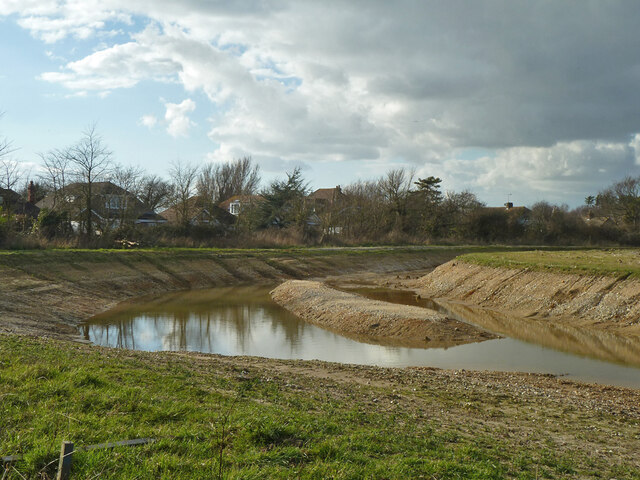
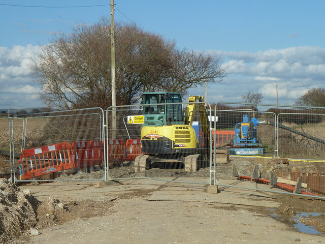
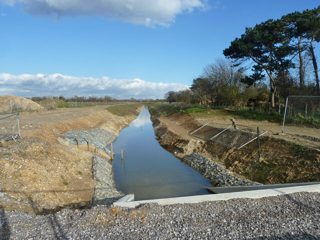
Images are sourced within 2km of 50.772476/-0.8294456 or Grid Reference SZ8297. Thanks to Geograph Open Source API. All images are credited.


Almodington is located at Grid Ref: SZ8297 (Lat: 50.772476, Lng: -0.8294456)
Administrative County: West Sussex
District: Chichester
Police Authority: Sussex
What 3 Words
///horseshoe.stable.crystals. Near Birdham, West Sussex
Nearby Locations
Related Wikis
Somerley Mill, Earnley
Somerley Mill is a grade II listed smock mill at Earnley, Sussex, England, which is under restoration. == History == Somerley Mill, was first mentioned...

Earnley
Earnley is a village and a civil and ecclesiastical parish in the Chichester District of West Sussex, England. It is located four miles (6.4 km) south...
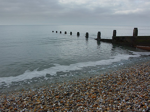
Bracklesham Bay
Bracklesham Bay is a 200.6-hectare (496-acre) biological and geological Site of Special Scientific Interest in West Sussex. It is a Geological Conservation...
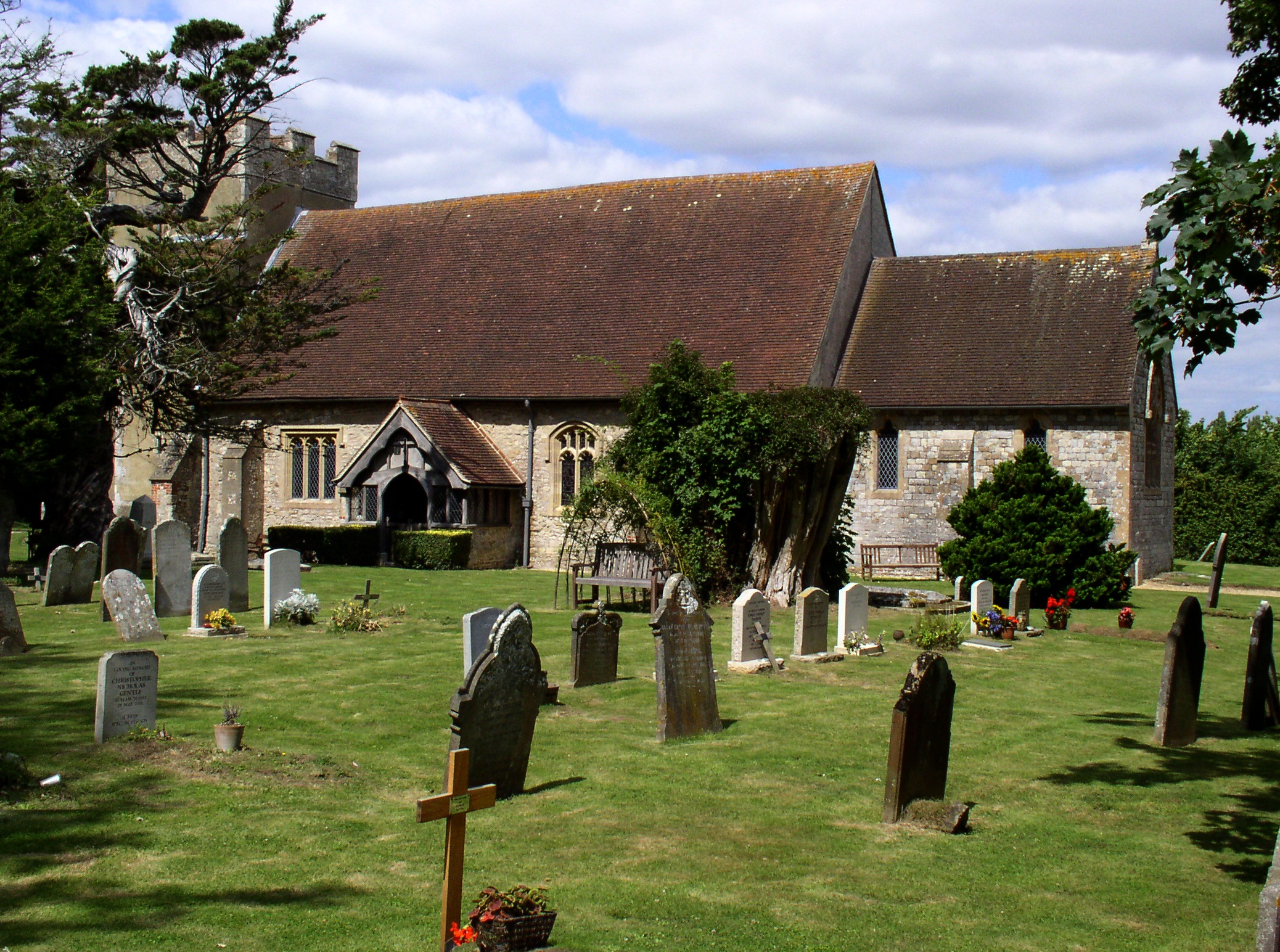
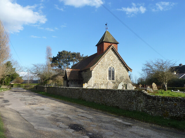
St James' Church, Birdham
The parish church of St James, Birdham is situated on the Manhood Peninsula in Sussex. The area is a suburban extension of the city of Chichester, popular...
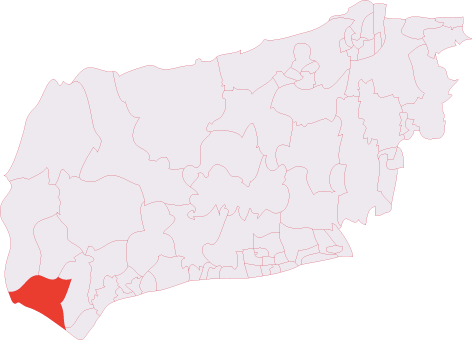
The Witterings (electoral division)
The Witterings is an electoral division of West Sussex in the United Kingdom, and returns one member to sit on West Sussex County Council. == Extent... ==

Birdham
Birdham is a village and civil parish in the Chichester District of West Sussex, England. It is located on the Manhood Peninsula, c. 5 miles (8.0 km) south...
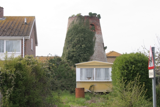
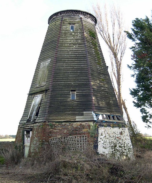
East Wittering Windmill
East Wittering Windmill is a grade II listed tower mill at East Wittering, Sussex, England which is derelict. == History == East Wittering Windmill was...

Hazardous (ship)
The Hazardous, formerly Le Hazardeux, was a French third-rate ship of the line captured by the English and later sunk in Bracklesham Bay, West Sussex....
Nearby Amenities
Located within 500m of 50.772476,-0.8294456Have you been to Almodington?
Leave your review of Almodington below (or comments, questions and feedback).