Algarkirk

Settlement in Lincolnshire Boston

England

Algarkirk

Waterbelly Lane
Waterbelly Lane Credit: Alex McGregor

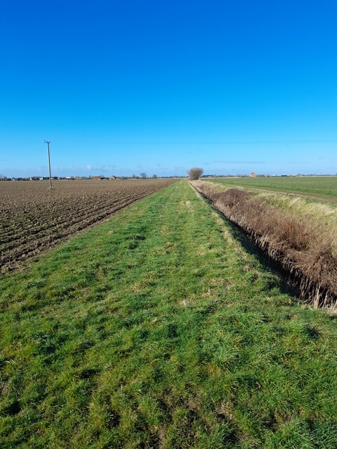
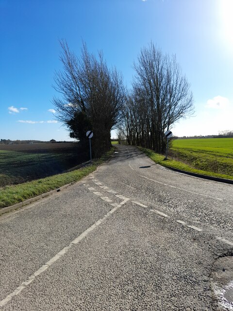
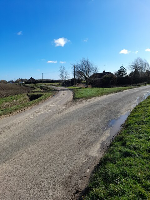
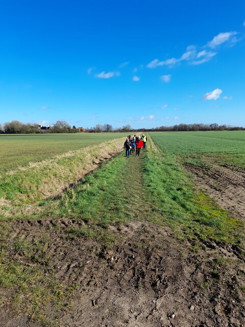
Algarkirk is a small village located in the county of Lincolnshire, England. Situated approximately 8 miles south-east of the town of Boston, Algarkirk lies in the South Holland district. The village is surrounded by flat, agricultural land typical of the Lincolnshire Fens.

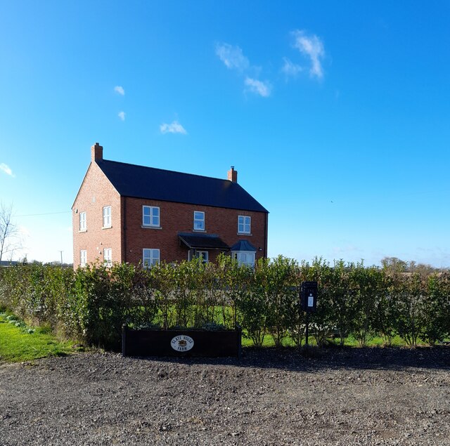
With a population of around 500 people, Algarkirk is a tight-knit community that retains its rural charm. The village is known for its picturesque setting, with its well-maintained thatched cottages and historic buildings. The centerpiece of Algarkirk is the Grade I listed church, St. Peter and St. Paul, which dates back to the 14th century and features stunning stained glass windows.

Algarkirk has a rich history, with evidence of human habitation in the area dating back to the Roman times. The village was mentioned in the Domesday Book of 1086 and was historically an important trading center due to its proximity to the River Welland. Today, the village still maintains its agricultural roots, with farming playing a significant role in the local economy.

Although Algarkirk is a small village, it offers a range of amenities for its residents. These include a primary school, a village hall, a post office, and a pub. The village also benefits from its proximity to Boston, which provides additional services and employment opportunities.

Algarkirk's tranquil setting, historical significance, and strong sense of community make it an attractive place to live for those seeking a peaceful rural lifestyle in the heart of Lincolnshire.

If you have any feedback on the listing, please let us know in the comments section below.
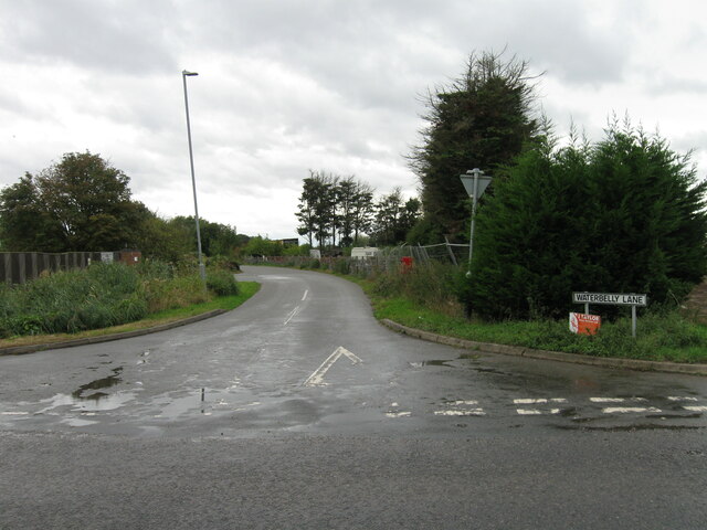
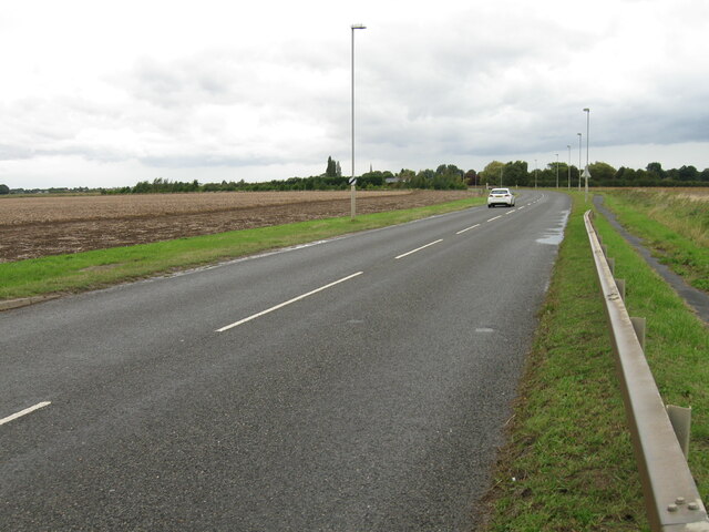
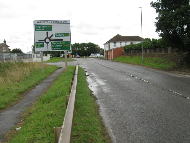
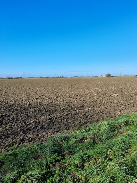
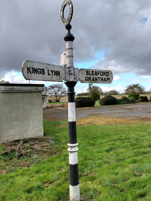
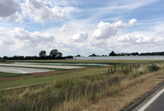
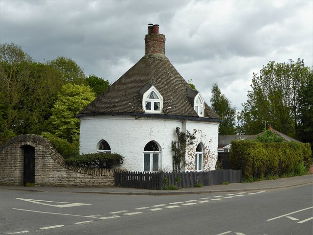
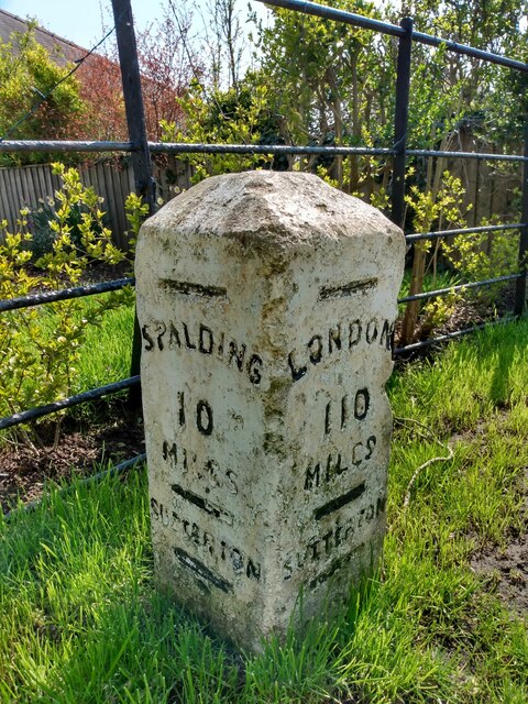
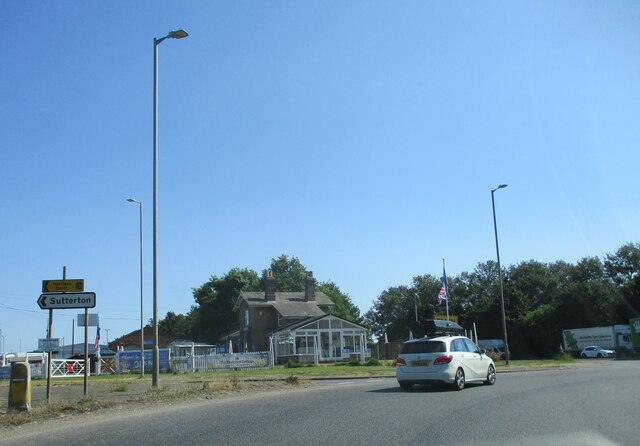
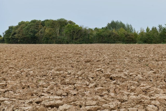
Algarkirk Images

Images are sourced within 2km of 52.899528/-0.079929866 or Grid Reference TF2935. Thanks to Geograph Open Source API. All images are credited.

Waterbelly Lane
Waterbelly Lane
Stone Lane
Stone Lane
Stone Lane
Stone Lane
Open fields
Open fields
Field drain
Field drain
Slate House Farm
Slate House Farm
Sewage treatment site
Roper's Lane
Roper's Lane
Hall Lane
Hall Lane
Green Lane
Green Lane
U3a Happy Wanders
U3a Happy Wanders
Development site
Development site
Direction Sign – Signpost on the A17 in Algarkirk parish Located on the verge outside a disused café on the south side of the A17 opposite Pitcher Row Lane in Algarkirk parish. 3 arms, 1 missing, and annulus finial.

Milestone Society National ID: LI_TF2933
Direction Sign – Signpost on the A17 in Algarkirk parish
Located on the verge outside a disused café on the south side of the A17 opposite Pitcher Row Lane in Algarkirk parish. 3 arms, 1 missing, and annulus finial. Milestone Society National ID: LI_TF2933
Crops protected by plastic and giant greenhouses
The Round House A quirky former Gate Lodge on Station Road
The Round House
A quirky former Gate Lodge on Station Road
Old Milestone by B1397, Boston Road, outside The Rylands (South of Tudor Lodge) The Milestone is located on the verge on the East of the road.  Parish of Sutterton (Boston District). Carved stone post,  design, erected by the Donington turnpike trust in the 19th Century. An earlier photograph can be found here: <a title="https://www.geograph.org.uk/photo/6126414" href="https://www.geograph.org.uk/photo/6126414">Link</a> 

Inscription reads:-  
LONDON / 110 / MILES / SUTTERTON : : SPALDING / 10 / MILES / SUTTERTON : : BOSTON / 6 / MILES / SUTTERTON 

Grade II listed. List Entry Number: 1062033 <span class="nowrap"><a title="https://historicengland.org.uk/listing/the-list/list-entry/1062033" rel="nofollow ugc noopener" href="https://historicengland.org.uk/listing/the-list/list-entry/1062033">Link</a><img style="margin-left:2px;" alt="External link" title="External link - shift click to open in new window" src="https://s1.geograph.org.uk/img/external.png" width="10" height="10"/></span> 

Milestone Society National ID: LI_SPBO10
Old Milestone by B1397, Boston Road, outside The Rylands (South of Tudor Lodge)
The Milestone is located on the verge on the East of the road.  Parish of Sutterton (Boston District). Carved stone post, design, erected by the Donington turnpike trust in the 19th Century. An earlier photograph can be found here: Link  Inscription reads:- LONDON / 110 / MILES / SUTTERTON : : SPALDING / 10 / MILES / SUTTERTON : : BOSTON / 6 / MILES / SUTTERTON Grade II listed. List Entry Number: 1062033 LinkExternal link Milestone Society National ID: LI_SPBO10
Sutterton  Roundabout  on  A17  and  A16 The building in the centre of the photo is the former station house at Algarkirk and Sutterton railway station, on the Boston to Spalding line. Opened in 1848, closed to passenger traffic in 1961 and goods in 1964.
Sutterton Roundabout on A17 and A16
The building in the centre of the photo is the former station house at Algarkirk and Sutterton railway station, on the Boston to Spalding line. Opened in 1848, closed to passenger traffic in 1961 and goods in 1964.
Algarkirk: Ploughed field
Show me another place!

Algarkirk is located at Grid Ref: TF2935 (Lat: 52.899528, Lng: -0.079929866)

Division: Parts of Holland

Administrative County: Lincolnshire

District: Boston

Police Authority: Lincolnshire

What 3 Words

///tweed.impressed.talker. Near Sutterton, Lincolnshire

Nearby Locations

Algarkirk

Related Wikis

Sutterton

Sutterton is a village and civil parish in the Borough of Boston in Lincolnshire, England. The population of the parish at the 2011 census was 1,585....

St Mary's Church, Sutterton

St Mary's Church (or The Church of Saint Mary the Blessed Virgin) is an Anglican church and Grade I Listed building in Sutterton, Lincolnshire, England...

Algarkirk and Sutterton railway station

Algarkirk and Sutterton railway station was a station which served the villages of Algarkirk and Sutterton in the English county of Lincolnshire. It was...

Algarkirk

Algarkirk ( AL-jər-kurk) is a village and civil parish in the Borough of Boston in Lincolnshire, England. It is situated 6 miles (9.7 km) south-south-west...

Asperton

Asperton is a village in Lincolnshire, England. == External links == Media related to Asperton at Wikimedia Commons

Burtoft

Burtoft is a hamlet in the civil parish of Wigtoft, Lincolnshire, England, approximately 7 miles (11 km) southwest of the market town of Boston.Burtoft...

Thomas Middlecott Academy

Thomas Middlecott Academy is a coeducational secondary school in Kirton, Lincolnshire, England.The school's curriculum includes GCSEs and BTECs, with some...

Wigtoft

Wigtoft is a village and civil parish in Lincolnshire, England. It is situated on the A17 road, 6 miles (10 km) geographically south-west from Boston,...

Nearby Amenities

Located within 500m of 52.899528,-0.079929866
Algarkirk
Is In: Lincolnshire, England, UK
Place: village
Source: Bing
Lat/Long: 52.8997182/-0.0795578
Bus Stop
Mandike Road
Bus: yes
Naptan AtcoCode: 270000008749
Naptan Bearing: W
Naptan BusStopType: CUS
Naptan CommonName: Mandike Road
Naptan Indicator: adj
Naptan Landmark: Mandike Road
Naptan NaptanCode: lingtwgd
Naptan Street: Eleys Lane
Naptan Verified: no
Public Transport: platform
Source: naptan_import
Lat/Long: 52.8998421/-0.0730518
St Peter St Pauls Church
Naptan AtcoCode: 270000010490
Naptan Bearing: N
Naptan BusStopType: CUS
Naptan CommonName: St Peter St Pauls Church
Naptan Indicator: adj
Naptan Landmark: St Peter St Pauls Church
Naptan NaptanCode: linjmtpm
Naptan Street: Church Lane
Naptan Verified: no
Source: naptan_import
Lat/Long: 52.8995785/-0.0813126
St Peter St Pauls Church
Naptan AtcoCode: 270000010491
Naptan Bearing: S
Naptan BusStopType: CUS
Naptan CommonName: St Peter St Pauls Church
Naptan Indicator: opp
Naptan Landmark: St Peter St Pauls Church
Naptan NaptanCode: linjmtpt
Naptan Street: Church Lane
Naptan Verified: no
Source: naptan_import
Lat/Long: 52.8995406/-0.0811953
Hall Lane
Naptan AtcoCode: 270002700655
Naptan Bearing: E
Naptan BusStopType: CUS
Naptan CommonName: Hall Lane
Naptan Indicator: adj
Naptan Landmark: Hall Lane
Naptan Street: Church Lane
Naptan Verified: no
Source: naptan_import
Lat/Long: 52.9003154/-0.0801797
Hall Lane
Naptan AtcoCode: 2700LAC04620
Naptan Bearing: W
Naptan BusStopType: CUS
Naptan CommonName: Hall Lane
Naptan Indicator: opp
Naptan Landmark: Hall Lane
Naptan NaptanCode: lindmjgp
Naptan Street: Church Lane
Naptan Verified: no
Source: naptan_import
Lat/Long: 52.9002421/-0.0800938
Council Houses
Naptan AtcoCode: 2700LAEL5414
Naptan Bearing: N
Naptan BusStopType: CUS
Naptan CommonName: Council Houses
Naptan Indicator: adj
Naptan Landmark: Council Houses
Naptan NaptanCode: lindtmdp
Naptan Street: Eleys Lane
Naptan Verified: no
Source: naptan_import
Lat/Long: 52.8981386/-0.0729014
Bus Stop
Mandike Road
Bus: yes
Naptan AtcoCode: 2700LAEL6145
Naptan Bearing: E
Naptan BusStopType: CUS
Naptan CommonName: Mandike Road
Naptan Indicator: opp
Naptan Landmark: Mandike Road
Naptan NaptanCode: lingamtp
Naptan Street: Eleys Lane
Naptan Verified: no
Public Transport: platform
Source: naptan_import
Lat/Long: 52.8999145/-0.0730783
Rectory Farm
Place: farm
Source: Bing
Lat/Long: 52.9021873/-0.0799239
Community Centre
Algarkirk Village Hall
Addr City: Algarkirk
Addr Country: GB
Addr Postcode: PE20 2HH
Addr Street: Church Lane
Community Centre: village_hall
Fhrs Authority: Boston
Fhrs Id: 231919
Fhrs Local Authority Id: 981
Source: Bing
Lat/Long: 52.8984555/-0.0820076
Leisure: playground
Lat/Long: 52.9000476/-0.0811905
Telephone
Defibrillator
Booth: K6
Covered: booth
Defibrillator Location: inside red phone box by playground in Algarkirk
Emergency: defibrillator
Man Made: telephone_box
Old Phone: +44 1205 460329
Lat/Long: 52.9001447/-0.0808633
Post Box
Post Box Type: lamp
Lat/Long: 52.8992111/-0.0810966
The data included in this document is from www.openstreetmap.org. The data is made available under ODbL.

Have you been to Algarkirk?

Leave your review of Algarkirk below (or comments, questions and feedback).