Aith

Settlement in Orkney

Scotland

Aith

Bay of Holland Looking across the immaculate beach of the Sand of Rothiesholm to Bay of Holland and the turbines of Bu Wind Farm
<a title="https://www.geograph.org.uk/photo/1371392" href="https://www.geograph.org.uk/photo/1371392">Link</a>
Bay of Holland Credit: Adam Ward

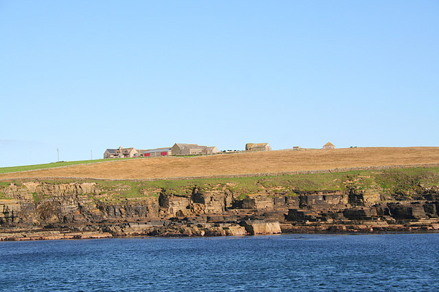
Aith is a small settlement located on the west coast of the island of Mainland in Orkney, Scotland. Situated about 10 miles west of the main town of Kirkwall, Aith is a picturesque village with a population of around 200 residents.

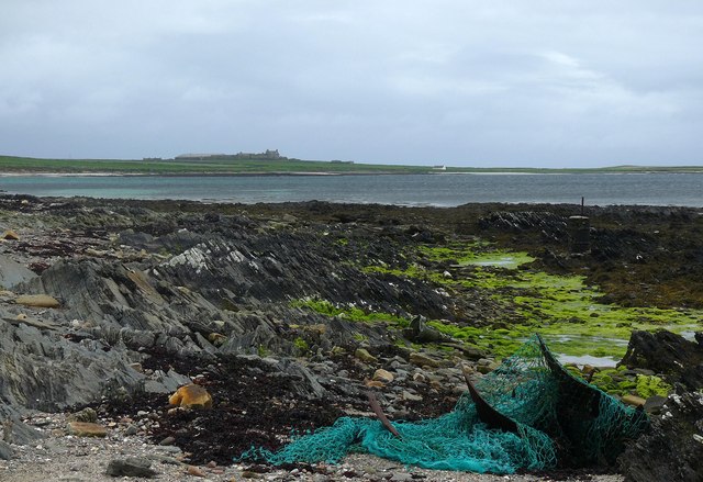
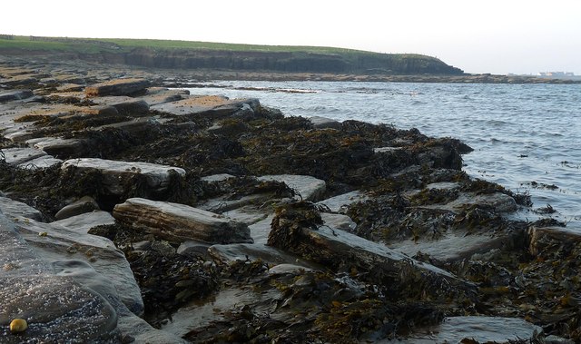
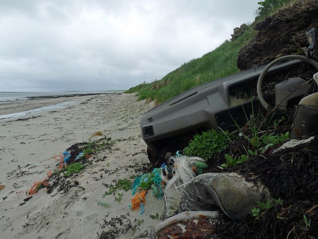
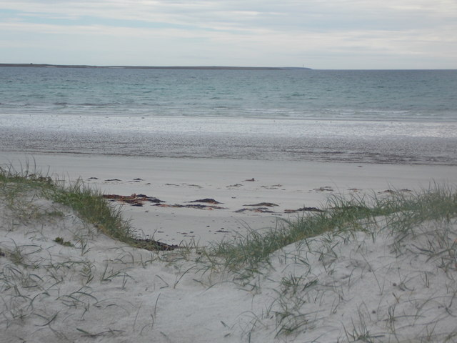
The village is known for its stunning natural beauty, surrounded by rolling green hills and offering breathtaking views of the Atlantic Ocean. The coastal location makes Aith an ideal spot for outdoor enthusiasts, with opportunities for fishing, birdwatching, and coastal walks.

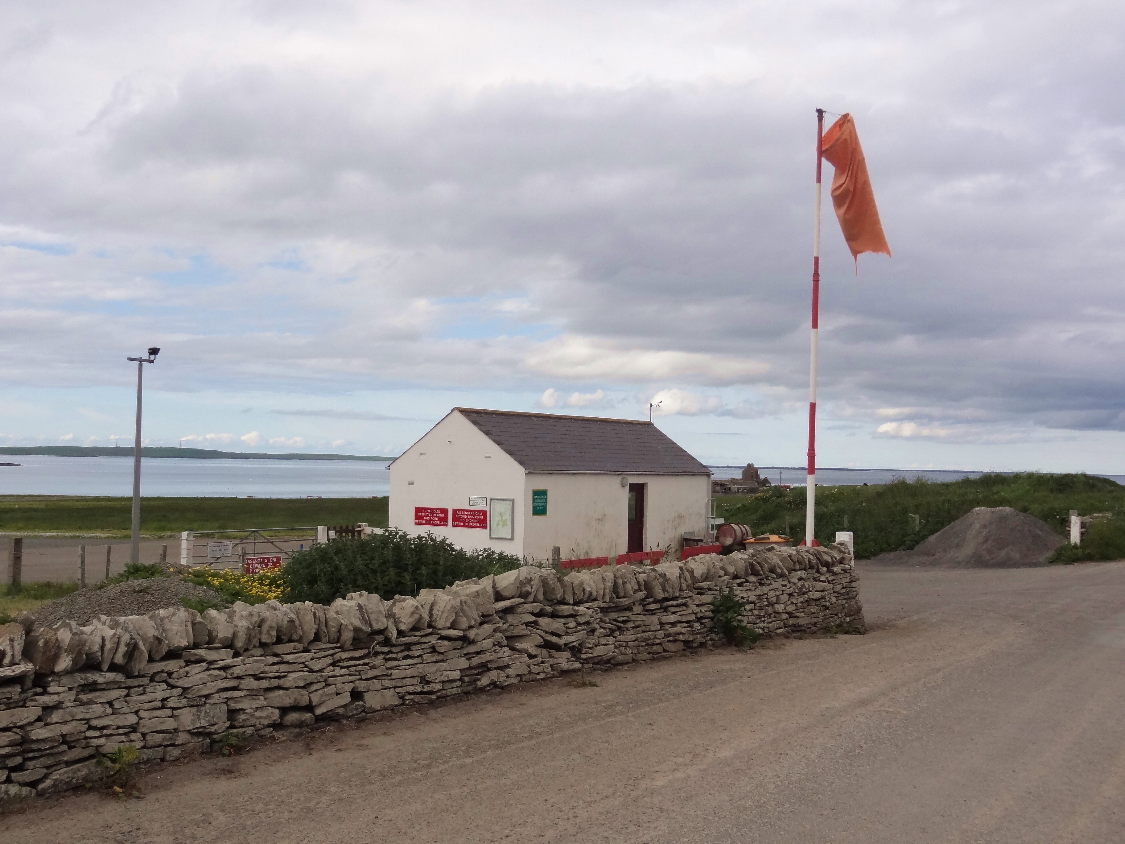
Aith is also home to a small harbor, which serves as a base for local fishermen and pleasure craft. The harbor is an important economic hub for the village, providing income and employment opportunities for the community.

In terms of amenities, Aith offers a range of facilities to cater to the needs of its residents and visitors. These include a primary school, a community center, and a post office. The village also has a pub and a grocery store, ensuring that basic necessities are readily available to locals and tourists alike.

With its tranquil atmosphere and stunning natural surroundings, Aith is a popular destination for those seeking a peaceful retreat away from the hustle and bustle of city life. Visitors can immerse themselves in the beauty of the Orkney landscape, explore the nearby archaeological sites, or simply enjoy the quiet charm of this idyllic village.

If you have any feedback on the listing, please let us know in the comments section below.

Aith Images

Images are sourced within 2km of 59.11621/-2.6162756 or Grid Reference HY6425. Thanks to Geograph Open Source API. All images are credited.

Bay of Holland Looking across the immaculate beach of the Sand of Rothiesholm to Bay of Holland and the turbines of Bu Wind Farm
<a title="https://www.geograph.org.uk/photo/1371392" href="https://www.geograph.org.uk/photo/1371392">Link</a>
Bay of Holland
Looking across the immaculate beach of the Sand of Rothiesholm to Bay of Holland and the turbines of Bu Wind Farm Link
Main Road on Stronsay Main road heading to Stronsays southwest peninsula near Dale Farm, looking across Bay of Holland to the wind farm on Rothiesholm Head.
Main Road on Stronsay
Main road heading to Stronsays southwest peninsula near Dale Farm, looking across Bay of Holland to the wind farm on Rothiesholm Head.
Bight of Matpow Little bay on the curiously and lovely named Bight of Matpow on the west side of Stronsay.
Bight of Matpow
Little bay on the curiously and lovely named Bight of Matpow on the west side of Stronsay.
Stone Sentinals Difficult to tell if these 2 small standing stones are natural or have been put there. If so - to what purpose?
On the west side of Stronsay in the Bight of Matpow looking across the small island of Linga Holm to Eday.
Stone Sentinals
Difficult to tell if these 2 small standing stones are natural or have been put there. If so - to what purpose? On the west side of Stronsay in the Bight of Matpow looking across the small island of Linga Holm to Eday.
Coastline, Holland Bay, Stronsay, Orkney Looking along the bay towards Holland Farm.
Coastline, Holland Bay, Stronsay, Orkney
Looking along the bay towards Holland Farm.
Coastline, Mill Bay, Stronsay, Orkney Looking towards the Point of Cumley and Whitehall Village beyond.
Coastline, Mill Bay, Stronsay, Orkney
Looking towards the Point of Cumley and Whitehall Village beyond.
Coastline, Bight of Aith, Stronsay, Orkney
Worm casts on the beach, St Catherines Bay, Stronsay, Orkney
Abandoned car on the beach, Bay of Holland, Stronsay, Orkney Anyone need parts for an Austin Maestro?
Abandoned car on the beach, Bay of Holland, Stronsay, Orkney
Anyone need parts for an Austin Maestro?
Beach, St Catherines Bay, Stronsay, Orkney Looking towards Linga Holm.  Eday and Rousay are beyond.
Beach, St Catherines Bay, Stronsay, Orkney
Looking towards Linga Holm. Eday and Rousay are beyond.
Winch and slipway, St Catherine's Bay, Stronsay, Orkney From <span class="nowrap"><a title="http://canmore.rcahms.gov.uk/en/site/3338/details/stronsay+viewfield" rel="nofollow ugc noopener" href="http://canmore.rcahms.gov.uk/en/site/3338/details/stronsay+viewfield">Link</a><img style="margin-left:2px;" alt="External link" title="External link - shift click to open in new window" src="https://s1.geograph.org.uk/img/external.png" width="10" height="10"/></span> : "Remains of 2, perhaps 3, eroded, overgrown and partly filled-up nausts, too indeterminate for measurement. One of them contains an iron winch (Archers Patent) and faces an elaborate slipway made of two rows of huge flat-laid flags, the flags each 1.2m wide, the rows laid 0.7m apart, the space between being packed with edge-set transverse slabs. The slipway leads down to a cleared batsto with a sandy bottom, alongside which is a jetty of drystone masonry. "
Winch and slipway, St Catherine's Bay, Stronsay, Orkney
From LinkExternal link : "Remains of 2, perhaps 3, eroded, overgrown and partly filled-up nausts, too indeterminate for measurement. One of them contains an iron winch (Archers Patent) and faces an elaborate slipway made of two rows of huge flat-laid flags, the flags each 1.2m wide, the rows laid 0.7m apart, the space between being packed with edge-set transverse slabs. The slipway leads down to a cleared batsto with a sandy bottom, alongside which is a jetty of drystone masonry. "
Stronsay: field at Yearnasetter An unexpected shaft of evening sunlight catches the tyre ridges and undulations of this field on the west coast of the island, while the sea and distant lands are under cover of cloud.
Stronsay: field at Yearnasetter
An unexpected shaft of evening sunlight catches the tyre ridges and undulations of this field on the west coast of the island, while the sea and distant lands are under cover of cloud.
Stronsay: arriving at Mill Bay beach A very short track from the road arrives at this splendid sandy beach, backed by low dunes.
Stronsay: arriving at Mill Bay beach
A very short track from the road arrives at this splendid sandy beach, backed by low dunes.
Stronsay: looking out across Mill Bay A picture with not many features, but a splendid spot on a lovely sunny afternoon.
Stronsay: looking out across Mill Bay
A picture with not many features, but a splendid spot on a lovely sunny afternoon.
Stronsay: the church Bulky and central to the island, the Church of Scotland kirk was built in the mid 1950s. The church's website states that they are seeking a new minister but in the meantime they "very much appreciate the efforts of local people, plus two gentlemen from the Orkney mainland who have recently been ordained to the local ministry, who ensure services are held Sunday by Sunday" for their congregation of around 81 parishioners.
Stronsay: the church
Bulky and central to the island, the Church of Scotland kirk was built in the mid 1950s. The church's website states that they are seeking a new minister but in the meantime they "very much appreciate the efforts of local people, plus two gentlemen from the Orkney mainland who have recently been ordained to the local ministry, who ensure services are held Sunday by Sunday" for their congregation of around 81 parishioners.
Stronsay: the blue water of Mill Bay Looking along the beach during a paddle.
Stronsay: the blue water of Mill Bay
Looking along the beach during a paddle.
Stronsay: landward view at Mill Bay beach A stripy view consisting of blue sky, some distant clouds, dunes, sand and a cold but beautiful sea.
Stronsay: landward view at Mill Bay beach
A stripy view consisting of blue sky, some distant clouds, dunes, sand and a cold but beautiful sea.
Stronsay: arriving at Sand of Rothiesholm A short path from the car park emerges through the modest dunes and arrives at the beach.
Stronsay: arriving at Sand of Rothiesholm
A short path from the car park emerges through the modest dunes and arrives at the beach.
Show me another place!

Aith is located at Grid Ref: HY6425 (Lat: 59.11621, Lng: -2.6162756)

Unitary Authority: Orkney Islands

Police Authority: Highlands and Islands

What 3 Words

///mulls.bagpipes.garden. Near Whitehall, Orkney Islands

Nearby Locations

Aith Loch of Matpow

Related Wikis

Stronsay

Stronsay () is an island in Orkney, Scotland. It is known as Orkney's 'Island of Bays', owing to an irregular shape with miles of coastline, with three...

Whitehall, Orkney

Whitehall is the village on the island of Stronsay, in the Orkney Islands of Scotland. It is a small village with about 50 houses. It also has a shop...

Linga Holm

Linga Holm, commonly known as Linga, Midgarth and the Holm of Midgarth is an uninhabited Scottish island extending to approximately 57 hectares (0.22...

Linga Sound, Orkney

Linga Sound is the strait between the islands of Linga Holm and Stronsay in the Orkney islands of Scotland. It leads into St. Catherines Bay from the north...

Papa Stronsay

Papa Stronsay (Scots: Papa Stronsee; Old Norse: Papey Minni) is a small island in Orkney, Scotland, lying north east of Stronsay. It is 74 hectares (183...

Sons of the Most Holy Redeemer

The Congregation of the Sons of the Most Holy Redeemer (Latin: Filii Sanctissimi Redemptoris; FSSR), commonly known as the Transalpine Redemptorists or...

Odness

Odness is a peninsula and headland on the island of Stronsay, in Orkney, Scotland. The Odness peninsula contains the farm of Odiness. Odness is also within...

Stronsay Airport

Stronsay Airport (IATA: SOY, ICAO: EGER) is located 15 nautical miles (28 km; 17 mi) northeast by north of Kirkwall Airport on Stronsay, Orkney Islands...

Nearby Amenities

Located within 500m of 59.11621,-2.6162756
Material: wood
Power: pole
Lat/Long: 59.1204763/-2.6164085
Material: wood
Power: pole
Lat/Long: 59.1196815/-2.6160119
Material: wood
Power: pole
Lat/Long: 59.1188988/-2.6156295
Material: wood
Power: pole
Lat/Long: 59.118104/-2.6152518
Material: wood
Power: pole
Lat/Long: 59.1174619/-2.6155351
Material: wood
Power: pole
Lat/Long: 59.1168415/-2.6158278
Material: wood
Power: pole
Lat/Long: 59.1162551/-2.6161441
Material: wood
Power: pole
Lat/Long: 59.1130489/-2.6207727
Material: wood
Power: pole
Lat/Long: 59.113667/-2.619924
Material: wood
Power: pole
Lat/Long: 59.1143057/-2.618942
Material: wood
Power: pole
Lat/Long: 59.1150014/-2.6179156
Material: wood
Power: pole
Lat/Long: 59.1156332/-2.617018
Power: pole
Lat/Long: 59.1158037/-2.6077987
Power: pole
Lat/Long: 59.1154594/-2.6091942
Power: pole
Lat/Long: 59.1158381/-2.6095008
Power: pole
Lat/Long: 59.1162593/-2.6099543
Power: pole
Lat/Long: 59.116656/-2.6103279
Stronsay War Memorial
Historic: memorial
Lat/Long: 59.1192408/-2.6105895
Telephone
Booth: KX100
Covered: booth
Man Made: telephone_box
Lat/Long: 59.1187827/-2.6107025
The data included in this document is from www.openstreetmap.org. The data is made available under ODbL.

Have you been to Aith?

Leave your review of Aith below (or comments, questions and feedback).