Loch of Matpow

Lake, Pool, Pond, Freshwater Marsh in Orkney

Scotland

Loch of Matpow

Sand of Rothiesholm Looking east along the Sand of Rothiesholm, an almost 2km stretch of beautiful white sand completely deserted despite a lovely summers day.
Sand of Rothiesholm Credit: Adam Ward

Loch of Matpow, located in Orkney, Scotland, is a picturesque freshwater loch that offers a serene and captivating natural setting. Nestled amidst rolling hills and lush vegetation, the loch covers an area of approximately 30 hectares, making it an expansive body of water that attracts numerous visitors each year.

The loch is known for its crystal-clear waters, reflecting the surrounding landscapes and providing a stunning backdrop for photography enthusiasts. It is bordered by reed beds and freshwater marshes, creating a diverse ecosystem that supports a wide array of plant and animal species.

The abundant plant life surrounding the loch includes various aquatic plants, such as water lilies, reeds, and rushes, which offer shelter and sustenance for a diverse range of wildlife. Visitors to the loch can often spot numerous bird species, including wading birds, ducks, and swans, as well as otters and water voles, which inhabit the loch's shores.

The Loch of Matpow is also popular among anglers, as it is known for its healthy fish population. The loch is home to species such as brown trout, pike, and perch, providing a tranquil setting for fishing enthusiasts to indulge in their favorite pastime.

With its breathtaking scenery and abundant wildlife, Loch of Matpow offers a serene and immersive experience for nature lovers and outdoor enthusiasts alike. Whether it's for birdwatching, fishing, or simply enjoying the tranquility of the surroundings, this loch is a hidden gem in the heart of Orkney.

If you have any feedback on the listing, please let us know in the comments section below.

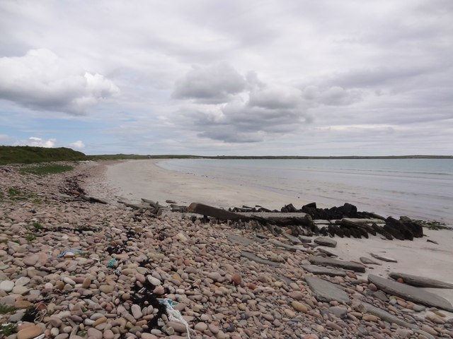
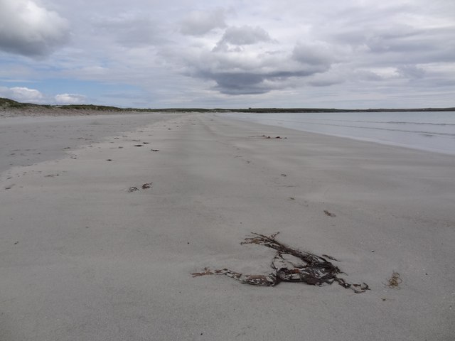
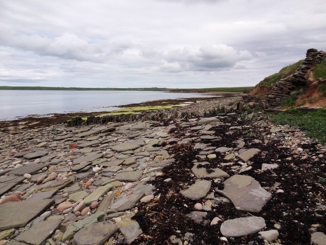
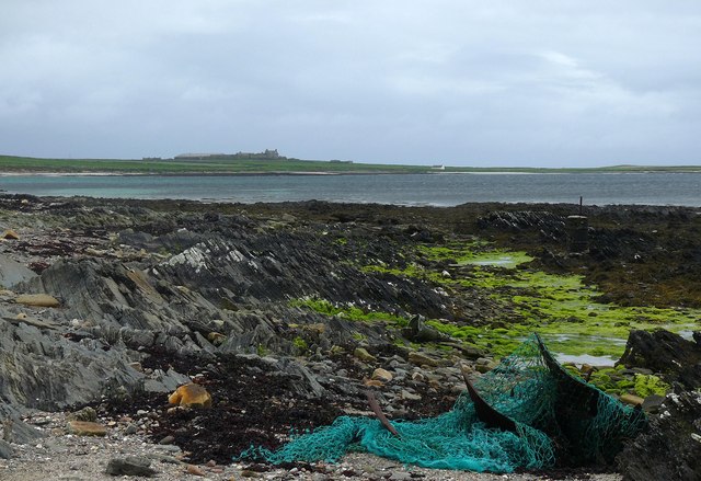
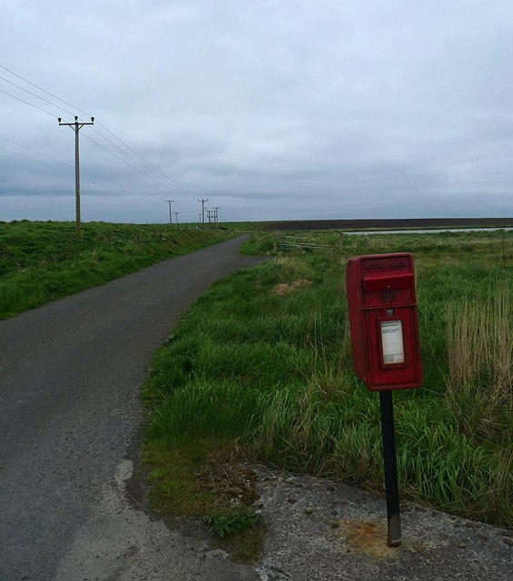
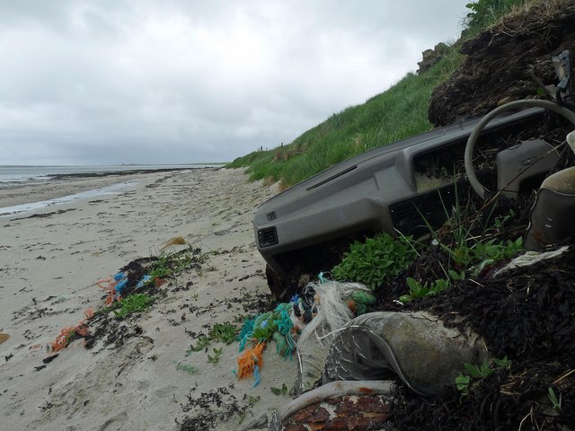
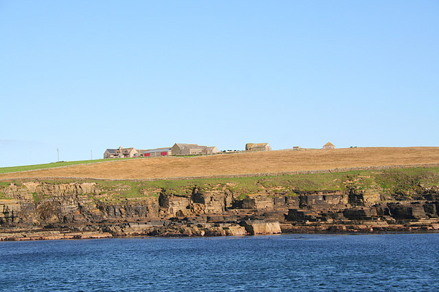
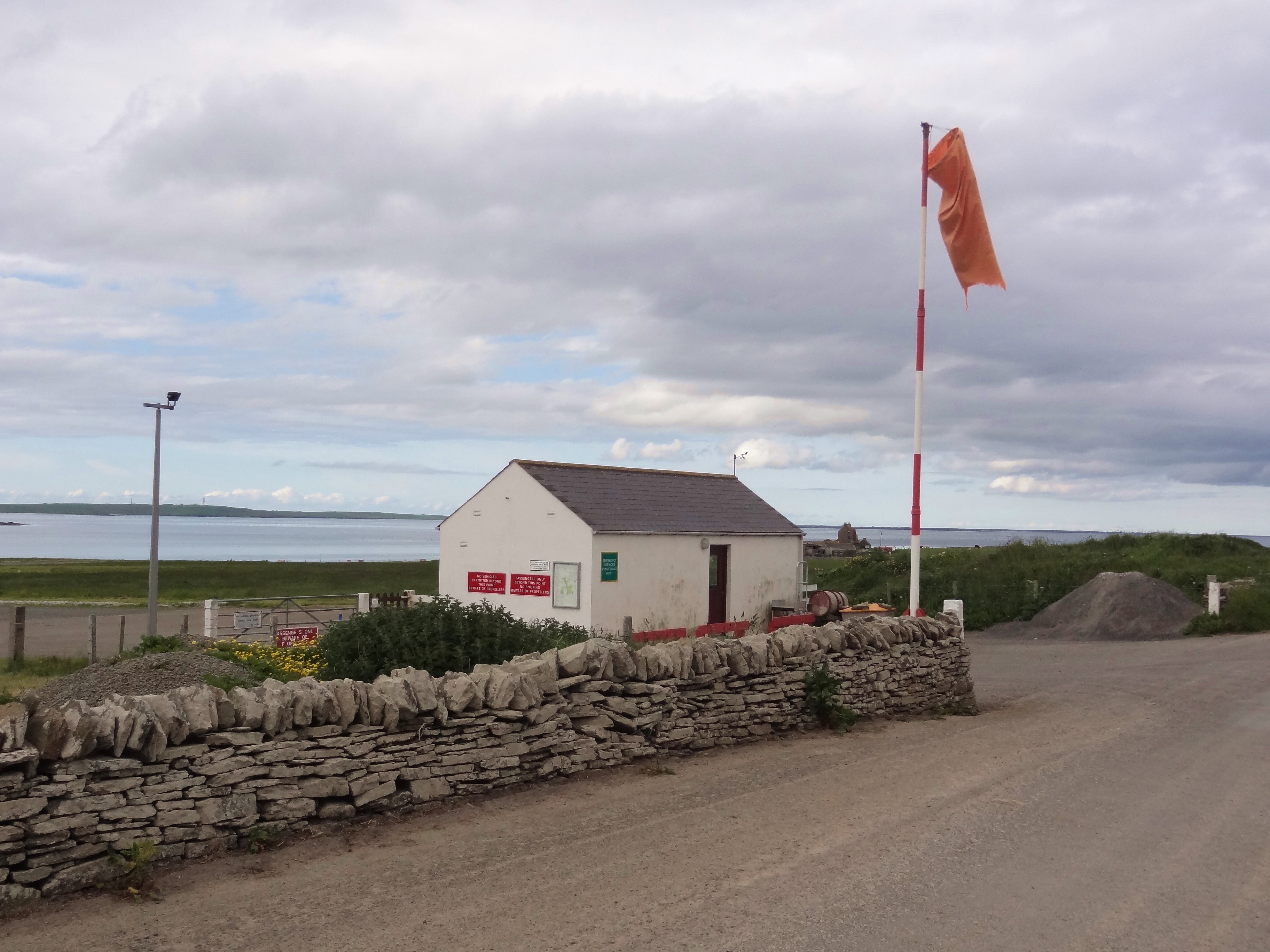
Loch of Matpow Images

Images are sourced within 2km of 59.11131/-2.6250409 or Grid Reference HY6425. Thanks to Geograph Open Source API. All images are credited.

Sand of Rothiesholm Looking east along the Sand of Rothiesholm, an almost 2km stretch of beautiful white sand completely deserted despite a lovely summers day.
Sand of Rothiesholm
Looking east along the Sand of Rothiesholm, an almost 2km stretch of beautiful white sand completely deserted despite a lovely summers day.
Bay of Holland Looking across the immaculate beach of the Sand of Rothiesholm to Bay of Holland and the turbines of Bu Wind Farm
<a title="https://www.geograph.org.uk/photo/1371392" href="https://www.geograph.org.uk/photo/1371392">Link</a>
Bay of Holland
Looking across the immaculate beach of the Sand of Rothiesholm to Bay of Holland and the turbines of Bu Wind Farm Link
Seaweed, Beach and Sky The pristine beach of Sand of Rothiesholm and nary a soul in sight. Almost 2km of white sands, I am about half way along the beach so there is a similar amount of beach behind me.
Seaweed, Beach and Sky
The pristine beach of Sand of Rothiesholm and nary a soul in sight. Almost 2km of white sands, I am about half way along the beach so there is a similar amount of beach behind me.
Main Road on Stronsay Main road heading to Stronsays southwest peninsula near Dale Farm, looking across Bay of Holland to the wind farm on Rothiesholm Head.
Main Road on Stronsay
Main road heading to Stronsays southwest peninsula near Dale Farm, looking across Bay of Holland to the wind farm on Rothiesholm Head.
Looking to the Coppa The Coppa is the small headland seen in the distance, while here a field boundary continues right to the waters edge across the boulders on the shore.
Looking to the Coppa
The Coppa is the small headland seen in the distance, while here a field boundary continues right to the waters edge across the boulders on the shore.
Bight of Matpow Little bay on the curiously and lovely named Bight of Matpow on the west side of Stronsay.
Bight of Matpow
Little bay on the curiously and lovely named Bight of Matpow on the west side of Stronsay.
Stone Sentinals Difficult to tell if these 2 small standing stones are natural or have been put there. If so - to what purpose?
On the west side of Stronsay in the Bight of Matpow looking across the small island of Linga Holm to Eday.
Stone Sentinals
Difficult to tell if these 2 small standing stones are natural or have been put there. If so - to what purpose? On the west side of Stronsay in the Bight of Matpow looking across the small island of Linga Holm to Eday.
Coastline, Holland Bay, Stronsay, Orkney Looking along the bay towards Holland Farm.
Coastline, Holland Bay, Stronsay, Orkney
Looking along the bay towards Holland Farm.
Coastline, Bight of Aith, Stronsay, Orkney
Worm casts on the beach, St Catherines Bay, Stronsay, Orkney
Letter box by the B9061, Stronsay, Orkney The letter box is situated by Bu Farm.  Bu Loch can be seen beyond it.
Letter box by the B9061, Stronsay, Orkney
The letter box is situated by Bu Farm. Bu Loch can be seen beyond it.
Abandoned car on the beach, Bay of Holland, Stronsay, Orkney Anyone need parts for an Austin Maestro?
Abandoned car on the beach, Bay of Holland, Stronsay, Orkney
Anyone need parts for an Austin Maestro?
Beach, St Catherines Bay, Stronsay, Orkney Looking towards Linga Holm.  Eday and Rousay are beyond.
Beach, St Catherines Bay, Stronsay, Orkney
Looking towards Linga Holm. Eday and Rousay are beyond.
Stronsay: arriving at Mill Bay beach A very short track from the road arrives at this splendid sandy beach, backed by low dunes.
Stronsay: arriving at Mill Bay beach
A very short track from the road arrives at this splendid sandy beach, backed by low dunes.
Stronsay: looking out across Mill Bay A picture with not many features, but a splendid spot on a lovely sunny afternoon.
Stronsay: looking out across Mill Bay
A picture with not many features, but a splendid spot on a lovely sunny afternoon.
Stronsay: the church Bulky and central to the island, the Church of Scotland kirk was built in the mid 1950s. The church's website states that they are seeking a new minister but in the meantime they "very much appreciate the efforts of local people, plus two gentlemen from the Orkney mainland who have recently been ordained to the local ministry, who ensure services are held Sunday by Sunday" for their congregation of around 81 parishioners.
Stronsay: the church
Bulky and central to the island, the Church of Scotland kirk was built in the mid 1950s. The church's website states that they are seeking a new minister but in the meantime they "very much appreciate the efforts of local people, plus two gentlemen from the Orkney mainland who have recently been ordained to the local ministry, who ensure services are held Sunday by Sunday" for their congregation of around 81 parishioners.
Stronsay: the blue water of Mill Bay Looking along the beach during a paddle.
Stronsay: the blue water of Mill Bay
Looking along the beach during a paddle.
Stronsay: landward view at Mill Bay beach A stripy view consisting of blue sky, some distant clouds, dunes, sand and a cold but beautiful sea.
Stronsay: landward view at Mill Bay beach
A stripy view consisting of blue sky, some distant clouds, dunes, sand and a cold but beautiful sea.
Show me another place!

Loch of Matpow is located at Grid Ref: HY6425 (Lat: 59.11131, Lng: -2.6250409)

Unitary Authority: Orkney Islands

Police Authority: Highlands and Islands

What 3 Words

///pizzas.interviewer.pulled. Near Whitehall, Orkney Islands

Nearby Locations

Loch of Matpow Aith

Related Wikis

Stronsay

Stronsay () is an island in Orkney, Scotland. It is known as Orkney's 'Island of Bays', owing to an irregular shape with miles of coastline, with three...

Whitehall, Orkney

Whitehall is the village on the island of Stronsay, in the Orkney Islands of Scotland. It is a small village with about 50 houses. It also has a shop...

Linga Holm

Linga Holm, commonly known as Linga, Midgarth and the Holm of Midgarth is an uninhabited Scottish island extending to approximately 57 hectares (0.22...

Linga Sound, Orkney

Linga Sound is the strait between the islands of Linga Holm and Stronsay in the Orkney islands of Scotland. It leads into St. Catherines Bay from the north...

Papa Stronsay

Papa Stronsay (Scots: Papa Stronsee; Old Norse: Papey Minni) is a small island in Orkney, Scotland, lying north east of Stronsay. It is 74 hectares (183...

Odness

Odness is a peninsula and headland on the island of Stronsay, in Orkney, Scotland. The Odness peninsula contains the farm of Odiness. Odness is also within...

Stronsay Airport

Stronsay Airport (IATA: SOY, ICAO: EGER) is located 15 nautical miles (28 km; 17 mi) northeast by north of Kirkwall Airport on Stronsay, Orkney Islands...

Sons of the Most Holy Redeemer

The Congregation of the Sons of the Most Holy Redeemer (Latin: Filii Sanctissimi Redemptoris; FSSR), commonly known as the Transalpine Redemptorists or...

Nearby Amenities

Located within 500m of 59.11131,-2.6250409
Material: wood
Power: pole
Lat/Long: 59.109025/-2.6266069
Material: wood
Power: pole
Lat/Long: 59.1097367/-2.625576
Material: wood
Power: pole
Lat/Long: 59.1102431/-2.624674
Material: wood
Power: pole
Lat/Long: 59.1117122/-2.62271
Material: wood
Power: pole
Lat/Long: 59.1110895/-2.6236743
Material: wood
Power: pole
Lat/Long: 59.1123897/-2.6217769
Material: wood
Power: pole
Lat/Long: 59.1130489/-2.6207727
Material: wood
Power: pole
Lat/Long: 59.113667/-2.619924
Material: wood
Power: pole
Lat/Long: 59.1143057/-2.618942
Material: wood
Power: pole
Lat/Long: 59.1088858/-2.6283354
Material: wood
Power: pole
Lat/Long: 59.1087329/-2.6300283
Material: wood
Power: pole
Lat/Long: 59.1086052/-2.6316235
Power: pole
Lat/Long: 59.1069746/-2.6266448
Lady Kirk (site of)
Historic: yes
Source: yes;local knowledge
Lat/Long: 59.1073589/-2.6282274
The data included in this document is from www.openstreetmap.org. The data is made available under ODbL.

Have you been to Loch of Matpow?

Leave your review of Loch of Matpow below (or comments, questions and feedback).