Acre

Settlement in Lancashire Rossendale

England

Acre

Downtown Haslingden A town scene looking up Deardengate in the Lancashire town of Haslingden
Downtown Haslingden Credit: Chris Heaton

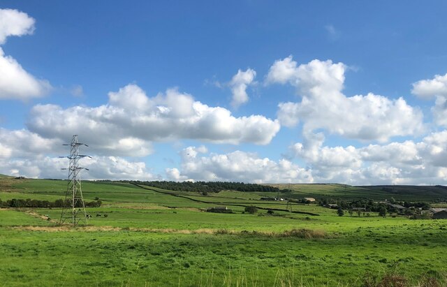
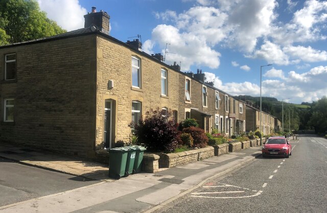
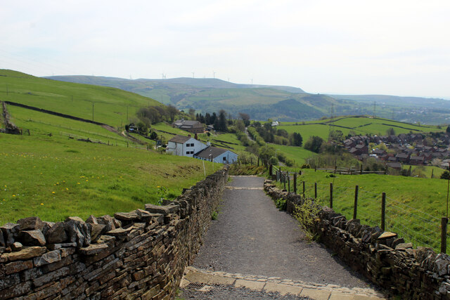
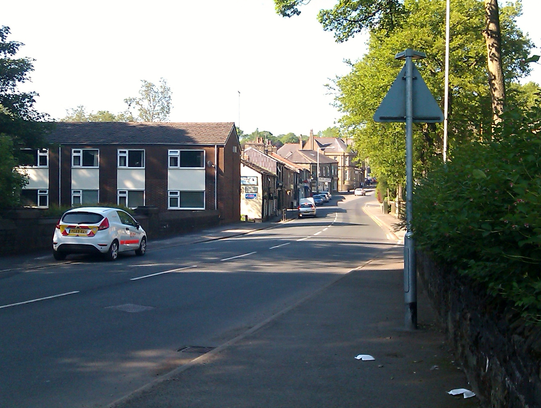
Acre is a small village located in the county of Lancashire, England. Situated in the West Lancashire district, Acre is nestled within the beautiful countryside, offering residents and visitors a picturesque and tranquil setting.

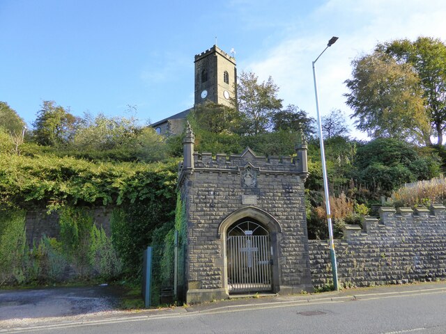
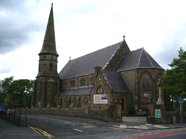
The village is known for its rich history, dating back to medieval times. It is home to several historical landmarks, including St. Helen's Church, which is believed to have been built in the 14th century. The church's architecture showcases elements of different eras, making it an interesting site for history enthusiasts.

Acre is a close-knit community with a population of around 500 residents. The village offers a peaceful and friendly environment, making it an ideal place to settle down or visit for those seeking a break from the hustle and bustle of city life.

Despite its small size, Acre provides its residents with essential amenities. The village has a local shop that caters to daily needs, as well as a primary school, ensuring that families have access to education for their children within the community. Additionally, there are several pubs and restaurants offering a variety of cuisines, allowing residents and visitors to enjoy a range of dining options.

The surrounding countryside provides ample opportunities for outdoor activities, such as hiking, cycling, and horseback riding. The village is also in close proximity to the coastal town of Southport, known for its sandy beaches and vibrant entertainment scene.

Overall, Acre, Lancashire offers a peaceful and historic village experience, with beautiful natural surroundings and a strong sense of community.

If you have any feedback on the listing, please let us know in the comments section below.
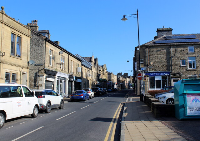
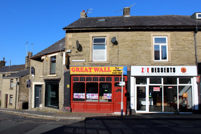
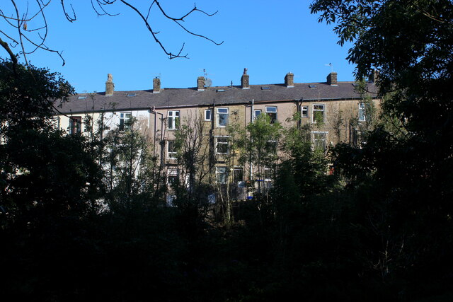
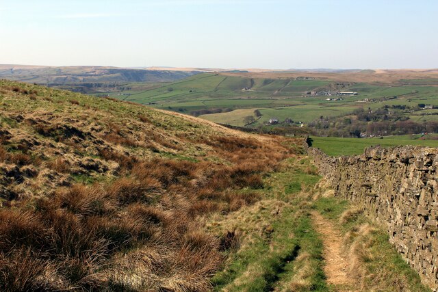
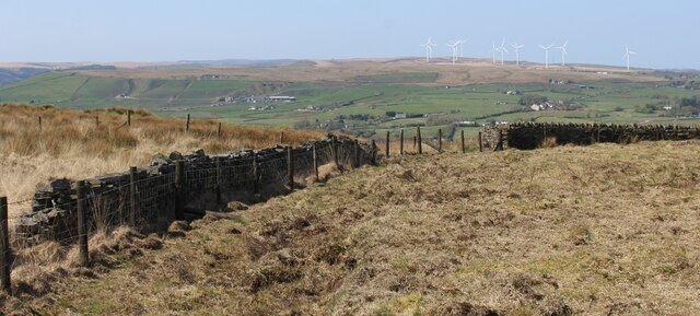
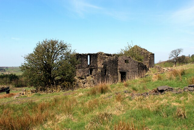
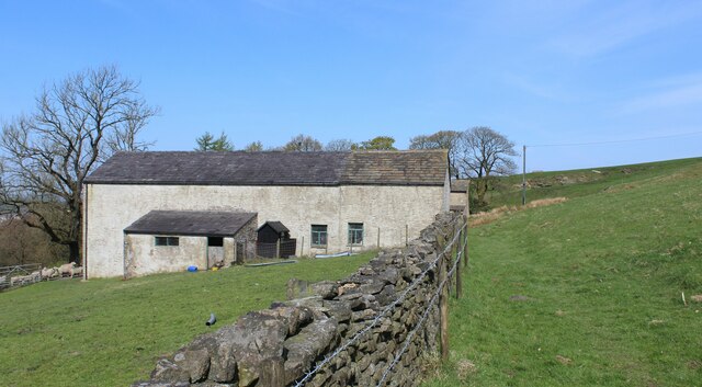
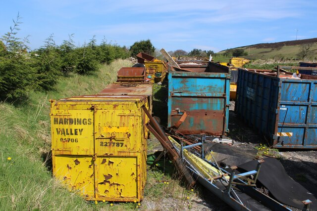
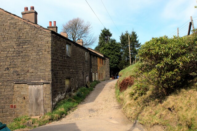
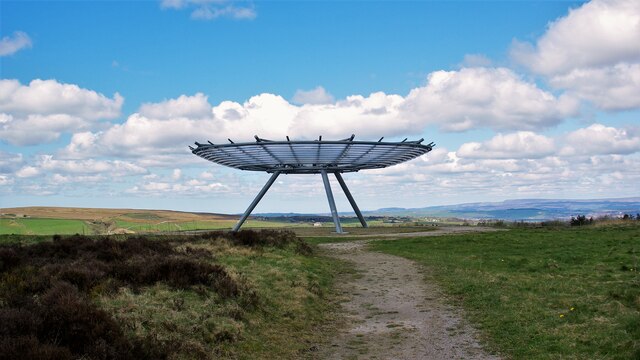
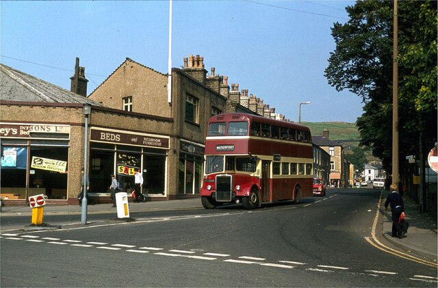
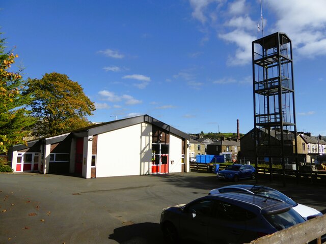
Acre Images

Images are sourced within 2km of 53.720331/-2.3241331 or Grid Reference SD7824. Thanks to Geograph Open Source API. All images are credited.

Downtown Haslingden A town scene looking up Deardengate in the Lancashire town of Haslingden
Downtown Haslingden
A town scene looking up Deardengate in the Lancashire town of Haslingden
Great Wall Chinese and Thai Take-Away, Haslingden On the corner of Deardengate and Grane Road
Great Wall Chinese and Thai Take-Away, Haslingden
On the corner of Deardengate and Grane Road
Row of Terraces above Charles Street, Haslingden
Descending off Cribden Moor Heading west off the moor, offering splendid views into the bargain
Descending off Cribden Moor
Heading west off the moor, offering splendid views into the bargain
On Cribden Moor
On Cribden Moor
Ruins of Under Brow Abandoned farm now fallen into ruin on Cribden Side
Ruins of Under Brow
Abandoned farm now fallen into ruin on Cribden Side
Further Houses Farm Farming operation on Cribden Side
Further Houses Farm
Farming operation on Cribden Side
Yard of Skips on Cribden Side
Farmland with pylons Between Accrington and Haslingden
Farmland with pylons
Between Accrington and Haslingden
Terraced houses on Blackburn Road, Acre
Back Alley off Hillside Road, Haslingden Back alley running parallel to Pine Street in Haslingden
Back Alley off Hillside Road, Haslingden
Back alley running parallel to Pine Street in Haslingden
Descending to Spout House
Height End Cottages above Haslingden
Height End
Cottages above Haslingden
The Halo Panopticon One of East Lancashire's Panopticons on Top of Slate
The Halo Panopticon
One of East Lancashire's Panopticons on Top of Slate
Warner Street, Haslingden – 1981 Compare with <a title="https://www.geograph.org.uk/photo/1702397" href="https://www.geograph.org.uk/photo/1702397">Link</a> in 2010 . The corner shop was already a furniture store by 1981.

Rossendale bus 39 is a Leyland PD3 with East Lances bodywork, new to predecessor Rawtenstall Corporation in 1966.

This is one of a series of views featuring buses in the 60s, 70s, and 80s. <a title="https://www.geograph.org.uk/search.php?i=137652761" href="https://www.geograph.org.uk/search.php?i=137652761">Link</a>
Warner Street, Haslingden – 1981
Compare with Link in 2010 . The corner shop was already a furniture store by 1981. Rossendale bus 39 is a Leyland PD3 with East Lances bodywork, new to predecessor Rawtenstall Corporation in 1966. This is one of a series of views featuring buses in the 60s, 70s, and 80s. Link
Haslingden fire station The rear yard backing on to Hazeldene Avenue
Haslingden fire station
The rear yard backing on to Hazeldene Avenue
Facade of Hazel Mill entrance The former carriage arch facing Shaw Street, now used for advertising
Facade of Hazel Mill entrance
The former carriage arch facing Shaw Street, now used for advertising
Unusual lych gate Entrance to the Church of St James from Blackburn Road. The church is on the hill above the gothic style lych gate.
Unusual lych gate
Entrance to the Church of St James from Blackburn Road. The church is on the hill above the gothic style lych gate.
Show me another place!

Acre is located at Grid Ref: SD7824 (Lat: 53.720331, Lng: -2.3241331)

Administrative County: Lancashire

District: Rossendale

Police Authority: Lancashire

What 3 Words

///indoors.award.sharpened. Near Haslingden, Lancashire

Nearby Locations

Hud Hey Acre

Related Wikis

Acre, Lancashire

Acre is a Victorian village situated along the A56 Blackburn Road between the village of Rising Bridge and the town of Haslingden in Rossendale Lancashire...

Haslingden railway station

Haslingden railway station served the town of Haslingden, Rossendale, Lancashire. The station was built by the East Lancashire Railway (ELR) on their Bury...

Baxenden railway station

Baxenden railway station served the villages of Baxenden in Hyndburn and Rising Bridge in Rossendale. It was situated just inside the old boundary of Haslingden...

Haslingden

Haslingden is a town in Rossendale, Lancashire, England. It is 16 miles (26 km) north of Manchester. The name means 'valley of the hazels' or 'valley...

River Hyndburn

The River Hyndburn is a minor river in Lancashire, England. Beginning as Woodnook Water on the slopes of Goodshaw Hill, it passes through Stone Fold, Rising...

Baxenden

Baxenden is a village and ward in the Borough of Hyndburn in Lancashire, North-West England. The ward population taken at the 2011 census was 4,042. Baxenden...

St John the Evangelist's Church, Crawshawbooth

St John the Evangelist's Church is in the village of Crawshawbooth, near Rawtenstall, Lancashire, England. It is a redundant Anglican parish church formerly...

Crawshawbooth

Crawshawbooth is a small village located on the edge of the Pennines in England, just north of the market town of Rawtenstall, Lancashire, and south of...

Nearby Amenities

Located within 500m of 53.720331,-2.3241331
Traffic Signals
Traffic Signals: signal
Traffic Signals Direction: forward
Lat/Long: 53.7230705/-2.3275243
Traffic Signals
Traffic Signals: signal
Traffic Signals Direction: forward
Lat/Long: 53.7231239/-2.3273711
Traffic Signals
Traffic Signals: signal
Traffic Signals Direction: forward
Lat/Long: 53.7231384/-2.3264924
Crossing
Crossing: unmarked
Lat/Long: 53.7229358/-2.3261767
Traffic Signals
Traffic Signals: signal
Traffic Signals Direction: forward
Lat/Long: 53.72302/-2.3264537
Crossing
Crossing: unmarked
Lat/Long: 53.7231411/-2.3260978
Traffic Signals
Traffic Signals: signal
Traffic Signals Direction: forward
Lat/Long: 53.7237319/-2.3267693
Traffic Signals
Traffic Signals: crossing
Lat/Long: 53.7238845/-2.3268686
Traffic Signals
Traffic Signals: signal
Traffic Signals Direction: forward
Lat/Long: 53.723842/-2.3265403
Acre
Place: suburb
Source: npe
Lat/Long: 53.7199924/-2.3248734
Sherfin
Place: hamlet
Source: npe
Lat/Long: 53.7227004/-2.3211171
Traffic Signals
Traffic Signals: signal
Traffic Signals Direction: forward
Lat/Long: 53.7237764/-2.3273384
Parking
Created By: Potlatch 0.10f
Description: Layby
Lat/Long: 53.7176977/-2.3282668
Winfields
Shop: outdoor
Lat/Long: 53.7212695/-2.3248772
Parking
Lat/Long: 53.721709/-2.3286524
Crossing
Crossing: unmarked
Lat/Long: 53.7203917/-2.3289735
Crossing
Crossing: unmarked
Lat/Long: 53.7203741/-2.3287821
Crossing
Button Operated: yes
Crossing: traffic_signals
Crossing Island: yes
Crossing Ref: toucan
Kerb: lowered
Tactile Paving: yes
Lat/Long: 53.7237925/-2.3265301
Crossing
Button Operated: yes
Crossing: traffic_signals
Crossing Island: yes
Crossing Ref: toucan
Kerb: lowered
Tactile Paving: yes
Lat/Long: 53.7239192/-2.3268251
Traffic Signals
Traffic Signals: signal
Traffic Signals Direction: forward
Lat/Long: 53.7236723/-2.3273123
Noexit: yes
Lat/Long: 53.7161648/-2.3236848
The data included in this document is from www.openstreetmap.org. The data is made available under ODbL.

Have you been to Acre?

Leave your review of Acre below (or comments, questions and feedback).